The best mountain hikes around Ramberg
4.6
(8)
29
hikers
8
hikes
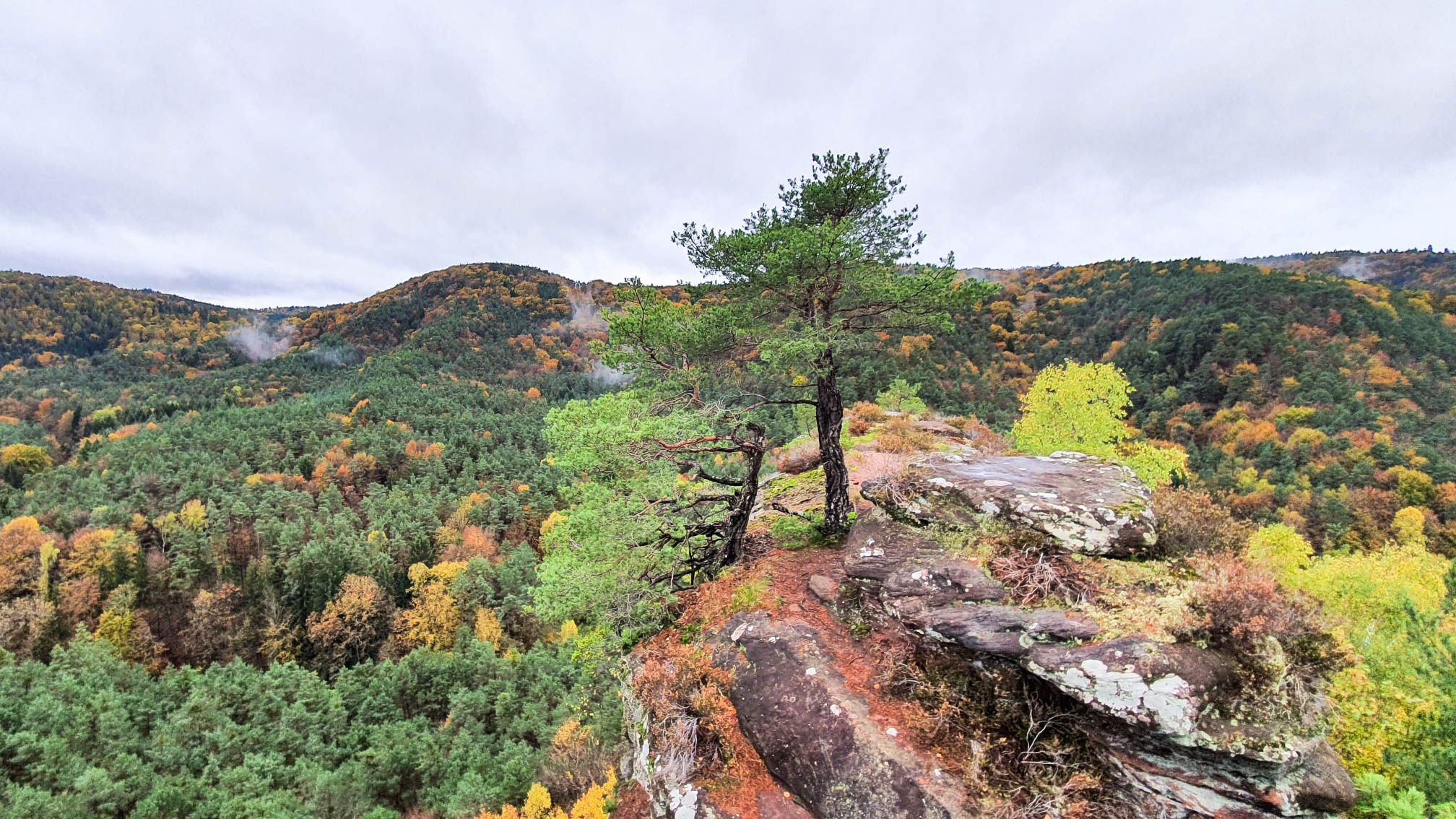
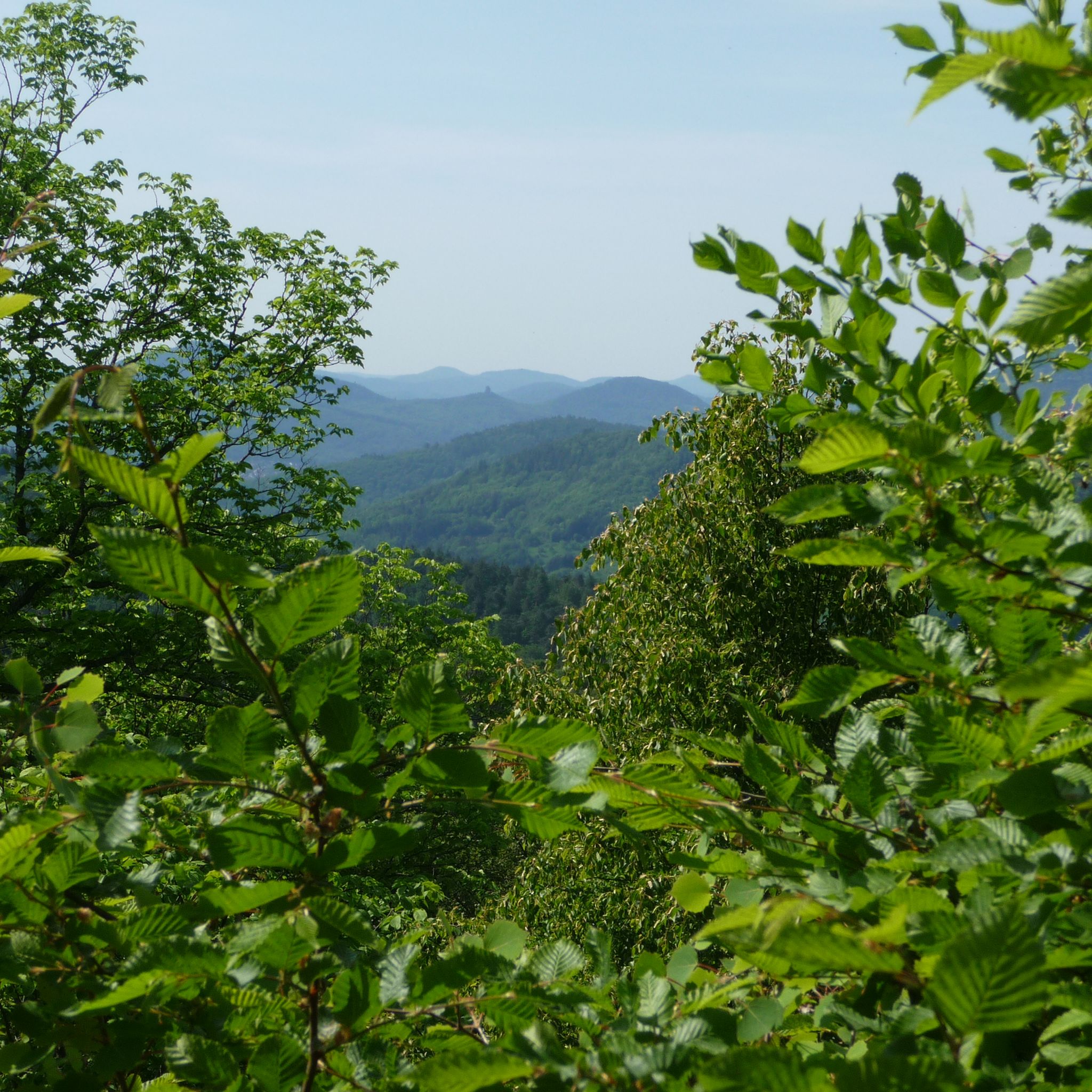
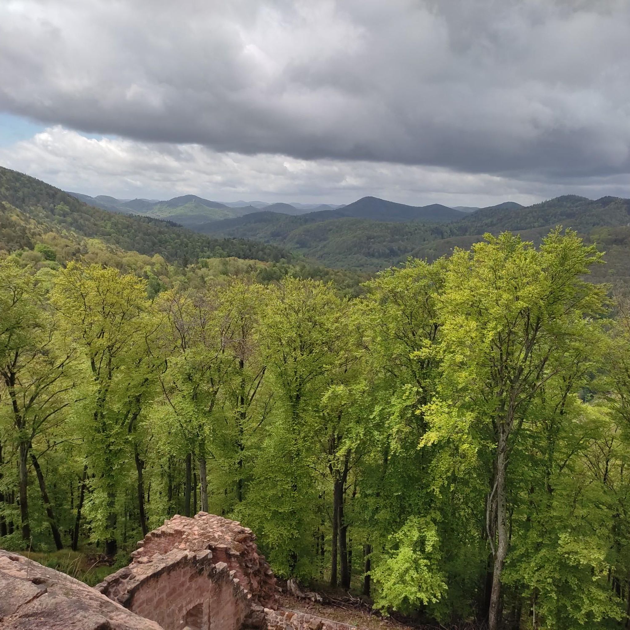
Mountaineering routes around Ramberg traverse the varied landscapes of the Palatinate Forest, characterized by rolling hills, dense woodlands, and sandstone rock formations. The area features elevations up to 619 meters, offering panoramic views from various summits and viewpoints. These routes provide a mix of forest paths and open sections, suitable for exploring the region's natural beauty.
Best mountaineering routes around Ramberg
- The most popular mountaineering route is Bishop’s Cross on Teufelsberg – Dreimärker Stone loop from Albersweiler (Pfalz), a…
Last updated: October 5, 2026
4.0
(4)
8
hikers
Hard mountaineering route. Very good fitness required. Mostly accessible paths. Sure-footedness required.
5
hikers
10.6km
03:29
450m
450m
Moderate mountaineering route. Good fitness required. Mostly accessible paths. Sure-footedness required.

4.7
(3)
2
hikers
11.8km
03:39
430m
440m
Moderate mountaineering route. Good fitness required. Easily-accessible paths. Suitable for all skill levels.
4
hikers
12.0km
03:33
340m
340m
Moderate mountaineering route. Good fitness required. Mostly accessible paths. Sure-footedness required.
2
hikers
8.09km
02:36
350m
350m
Moderate mountaineering route. Good fitness required. Easily-accessible paths. Suitable for all skill levels.
Get access to more routes and recommendations from other explorers.
Already have an account?
Our route recommendations are based on thousands of hikes, rides, and runs completed by other people on komoot.
Start today with a free account
Your next adventure awaits.
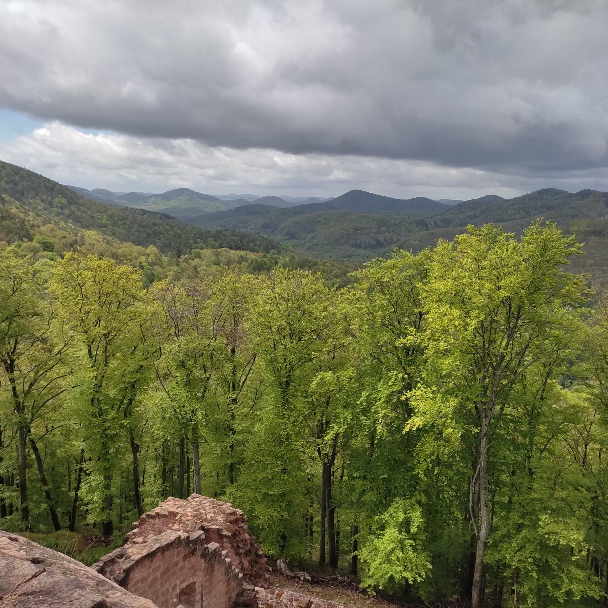
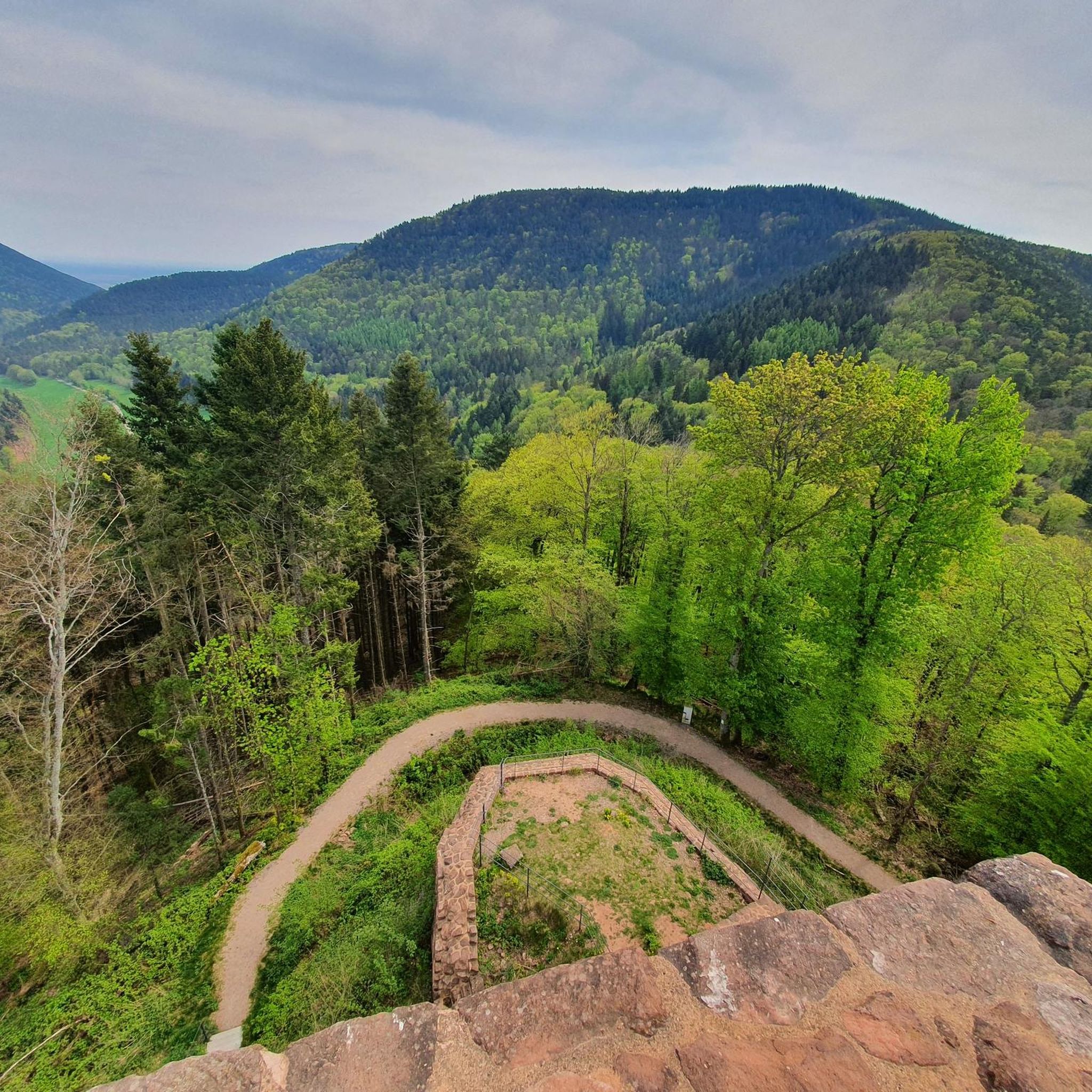
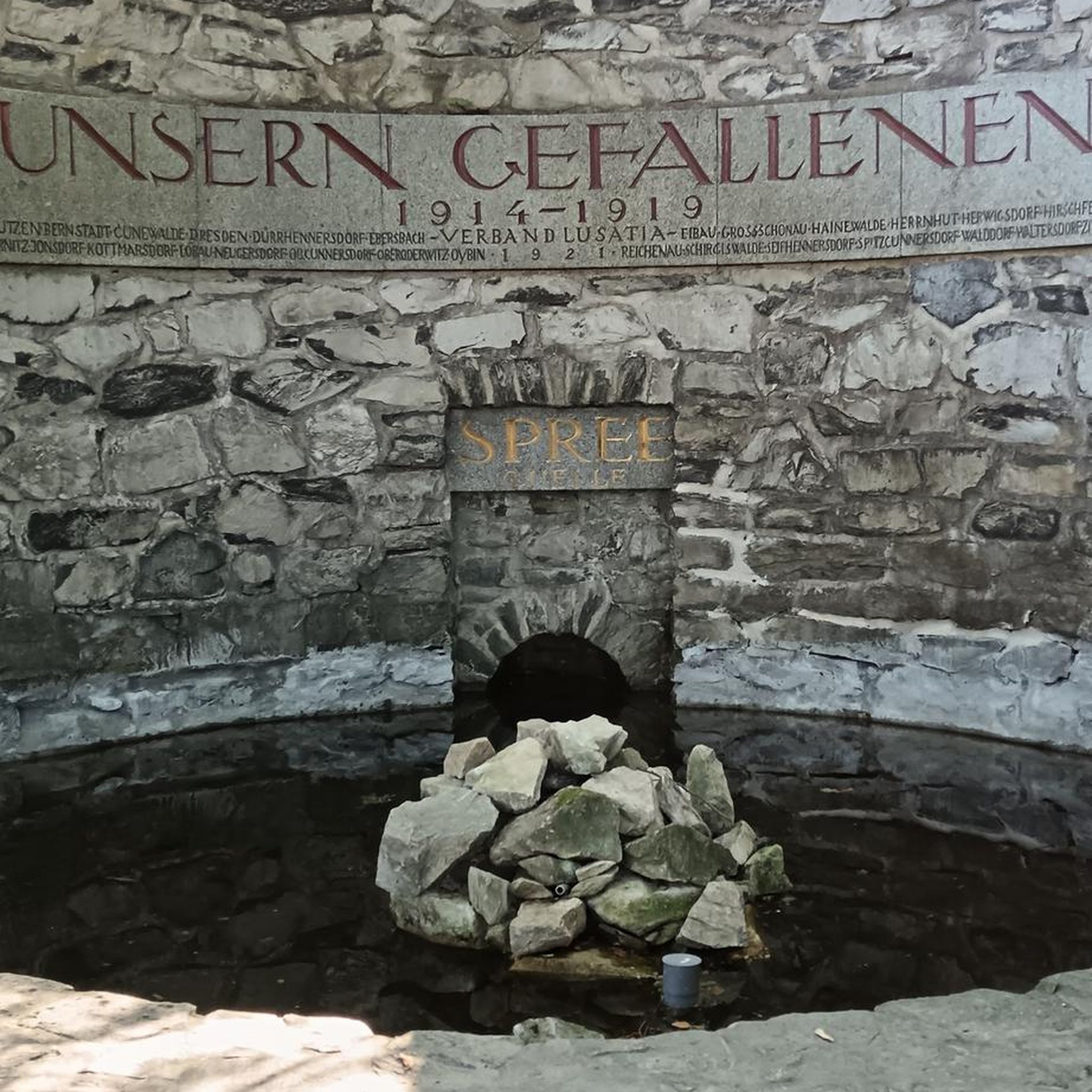
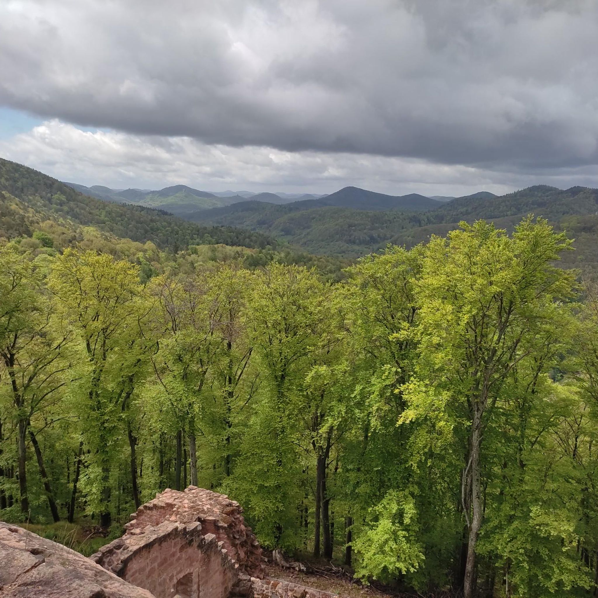

Tips from the Community

On the occasion of an interview about the writings of Saint Augustine (354 to 430), one question was what would the Bishop of Hippo want to say to us people of today? „I believe he would call on us to allow ourselves the luxury of silence, because we are all in a perpetual vortex of noise. And this is now the true luxury: a space of silence… in which one simply listens to the voice of one's own heart… We never listen to our heart, which is the most precious thing we have.“ (Silvia Guidi, L'Osservatore Romano). The rest area set up at this small sacred monument located here can invite us to do just that.
0
0


Locals often refer to it as the "Wetterkreuz" instead of the Bischofskreuz. The last approx. 100 m to the summit can be managed with a mountain bike, but older bikers should partially push their bikes due to numerous tree roots and stones.
0
0

A very beautiful path leads past the stone pyramid, which marks the highest point of the Blätterberg. But there are other markings here too. Ancient boundary stones and rocks with boundary marks can be found on the path. The cross stands for the Hochstift Speyer.
1
0

is located on the Höhenstrasse to Triefels Castle
0
1

very good food, nice host.
0
0


"The weather cross, consecrated in 1909 by Bishop Konrad von Busch (1847-1910) of Speyer, was created by stonemason Johann Minges and is the highest weather cross on the Haardt mountain range. Locally, it is also known as the Bishop's Cross." Source (quoted verbatim): https://www.kuladig.de/Objektansicht/KLD-272330 The following text (difficult to read) is inscribed on the base of the cross: "Behold the Cross of the Lord! // Flee, you hostile forces! // The Lion of Judah. // The Root of David has triumphed! // Alleluia, Alleluia! // (St. Anthony of Padua)" A vineyard (large vineyard area) in the Southern Palatinate is also called "Bischofskreuz" (Bishop's Cross).
3
0
Frequently Asked Questions
What are the typical difficulty levels for mountaineering routes around Ramberg?
Mountaineering routes in the Ramberg area primarily feature moderate difficulty, with 8 out of 9 routes falling into this category. There is also one difficult route available for those seeking a greater challenge. The routes generally involve rolling hills, dense woodlands, and sandstone rock formations, offering a mix of forest paths and open sections.
Are there circular mountaineering routes available in Ramberg?
Yes, many of the mountaineering routes around Ramberg are designed as circular walks, allowing you to start and end at the same point. For example, the Bishop’s Cross on Teufelsberg – Dreimärker Stone loop from Albersweiler (Pfalz) is a challenging circular route, and the Hohe Loog House – Hohe Loog Summit (619 m) loop from Maikammer offers a moderate circular experience.
What is the best season for mountaineering around Ramberg?
The Palatinate Forest, with its dense woodlands and varied terrain, is generally pleasant for mountaineering from spring through autumn. Spring brings blooming flora, while autumn offers vibrant foliage. Summer is also suitable, though some routes might be more exposed to the sun. Winter mountaineering is possible, but conditions can be more challenging due to potential snow or ice.
Are there any family-friendly mountaineering routes in Ramberg?
While many routes are moderate, some might be suitable for families depending on their experience. The St. Martin Church – Weinstube Altes Rathaus loop from Sankt Martin is a moderate 6.4-mile path that combines forest trails with cultural landmarks, which could be an interesting option for families looking for a less strenuous outing.
Where can I park for mountaineering trails in the Ramberg area?
Parking availability varies by trailhead. Many routes, especially those starting from villages like Albersweiler, Sankt Martin, or Maikammer, typically have designated parking areas nearby. It's advisable to check the specific route details on komoot for parking information relevant to your chosen starting point.
What interesting landmarks or natural features can I see along the mountaineering routes?
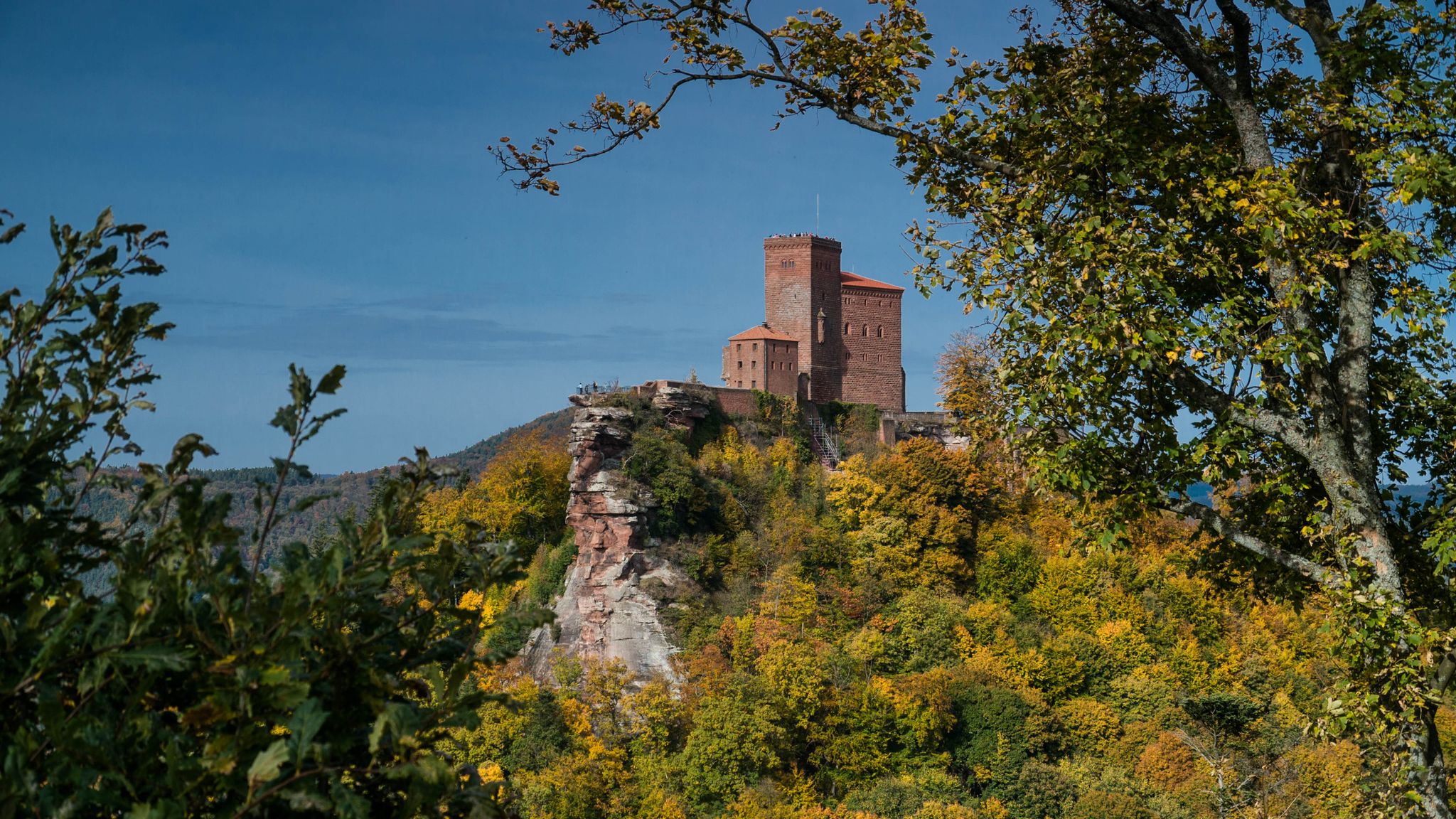
The routes around Ramberg offer a variety of natural and historical sights. You might encounter impressive sandstone rock formations, dense forests, and even some waterfalls. Notable highlights include the Trifels Castle, the Orensfels Viewpoint, and the Hohe Loog Summit (619 m). For water features, you could visit the Hilsch Waterfall or the Triefenbach Waterfall.
Do I need any special permits for mountaineering in the Ramberg area?
Generally, no special permits are required for mountaineering on the established trails in the Palatinate Forest around Ramberg. However, always respect local regulations, especially concerning nature reserves, and stay on marked paths to protect the natural environment.
Which routes offer the best viewpoints in the Ramberg region?
For panoramic views, consider routes that ascend to higher elevations or specific viewpoints. The Hohe Loog House – Hohe Loog Summit (619 m) loop from Maikammer leads directly to the Hohe Loog Summit (619 m), which is a prominent viewpoint. The Orensfels Viewpoint is another excellent spot for scenic vistas, accessible via various trails in the area.
What do other mountaineers enjoy the most about mountaineering in Ramberg?
The mountaineering routes around Ramberg are highly rated by the komoot community, with an average score of 4.7 stars from more than 5 reviews. Users often praise the varied landscapes, the mix of challenging ascents and pleasant forest paths, and the opportunity to explore the region's natural beauty and cultural landmarks.
Are there any less-known or 'hidden gem' routes for mountaineering in Ramberg?
While the guide highlights popular routes, the Palatinate Forest offers a vast network of trails. For a potentially quieter experience, consider exploring the Sandwiesen Pond – House at the Firs loop from Sankt Martin. This moderate route takes you through scenic forest landscapes, offering a chance to discover less-trafficked paths.
Can I find places to eat or drink near the mountaineering trailheads?
Yes, many of the routes start or pass through villages like Sankt Martin or Maikammer, where you can find local eateries or cafes. For instance, the St. Martin Church – Weinstube Altes Rathaus loop from Sankt Martin begins in Sankt Martin, which is known for its wine taverns and restaurants. The Kalmithaus is also a hut located on a summit, offering refreshments along some routes.
How many mountaineering routes are there in total around Ramberg?
There are 9 distinct mountaineering routes detailed in this guide for the Ramberg area, offering a range of experiences from moderate forest paths to more challenging ascents.
Most popular routes around Ramberg
Most popular attractions around Ramberg

Get inspired with the komoot mobile app


Explore more
Browse the best Mountain Hikes & Routes in other regions.
