The best walks and hikes around Bassignac
4.5
(96)
502
hikers
47
hikes
Hiking around Bassignac, located in the Cantal department of south-central France, offers diverse landscapes for outdoor activities. The region features extensive forests, agricultural land, and trails along the banks of the Dordogne River and its gorges. Hikers can find perspectives of the surrounding Cantal mountains and the Sumène River, with routes ranging from gentle paths to those with significant elevation changes. The area is also near the Regional Natural Park of the Volcanoes d'Auvergne, providing additional opportunities to explore volcanic…
Last updated: June 30, 2026
3.7
(3)
12
hikers
5.24km
01:42
220m
220m
Moderate hike. Great for any fitness level. Mostly accessible paths. Sure-footedness required.
4.4
(5)
15
hikers
5.81km
01:33
60m
70m
Easy hike. Great for any fitness level. Easily-accessible paths. Suitable for all skill levels.

Sign up for free
3
hikers
5.52km
01:35
140m
140m
Easy hike. Great for any fitness level. Easily-accessible paths. Suitable for all skill levels.
3
hikers
6.33km
01:49
160m
160m
Easy hike. Great for any fitness level. Easily-accessible paths. Suitable for all skill levels.
5
hikers
11.8km
03:16
200m
200m
Moderate hike. Good fitness required. Easily-accessible paths. Suitable for all skill levels.
Get access to more routes and recommendations from other explorers.
Sign up for free
Already have an account?
Our route recommendations are based on thousands of hikes, rides, and runs completed by other people on komoot.
Start today with a free account
Your next adventure awaits.
Login or Signup
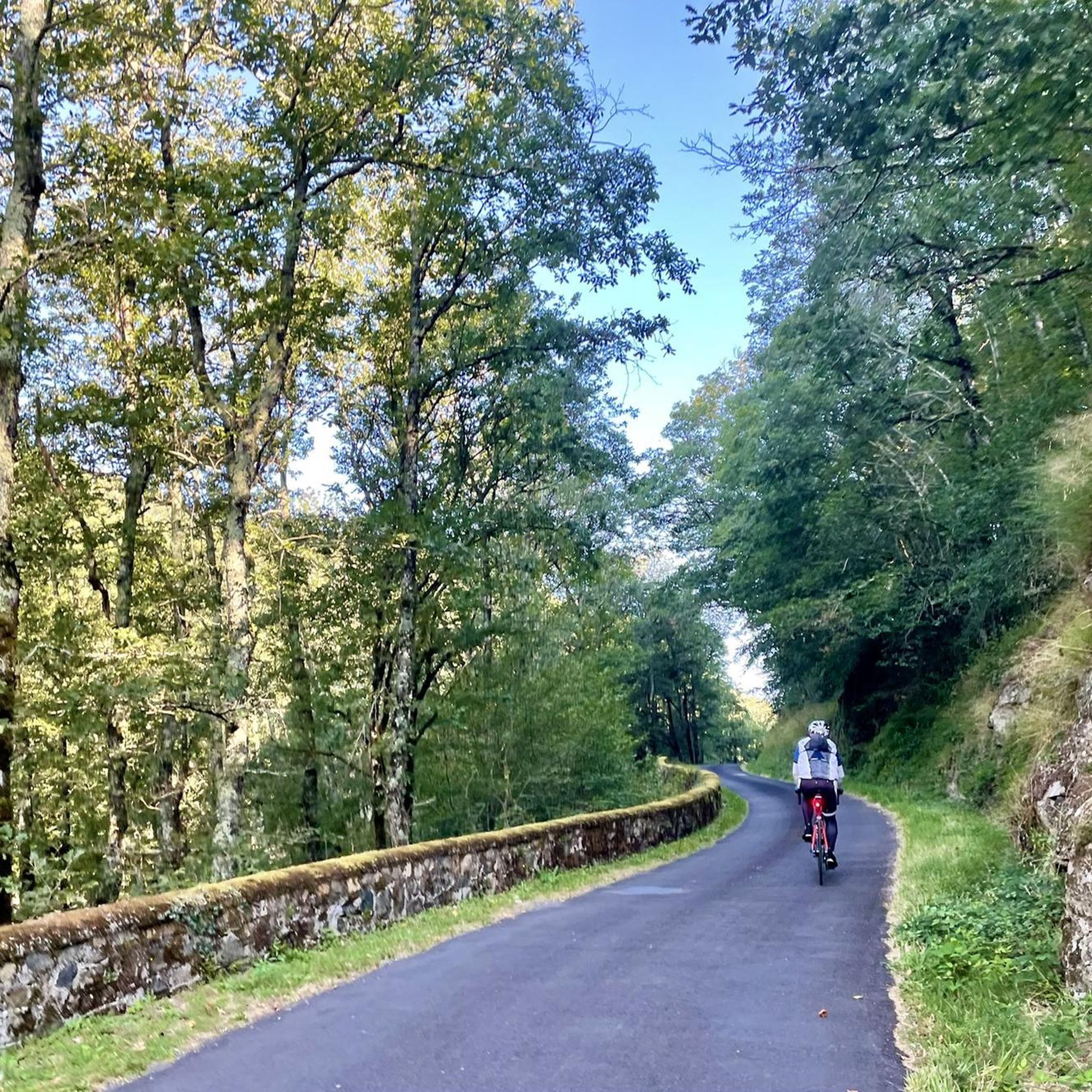
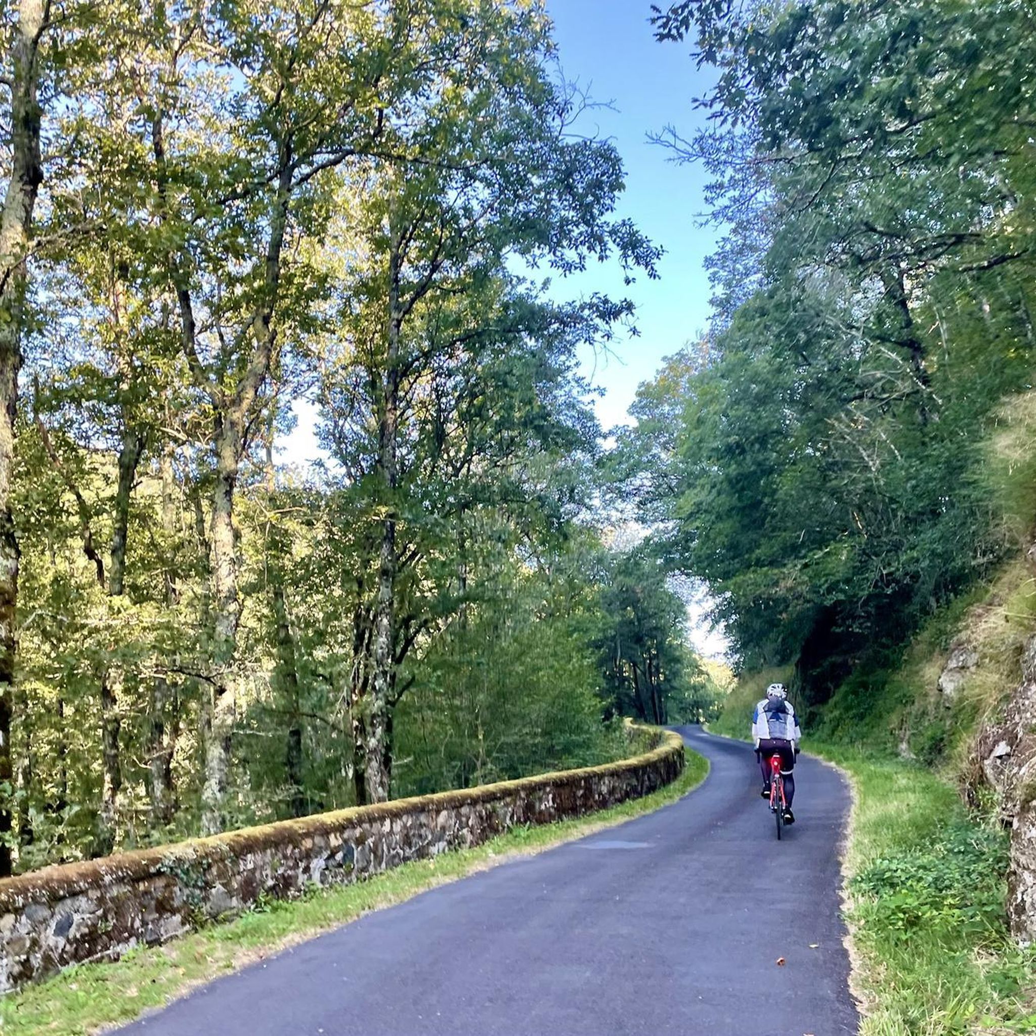

Tips from the Community

Private, but nice to look at.
0
0

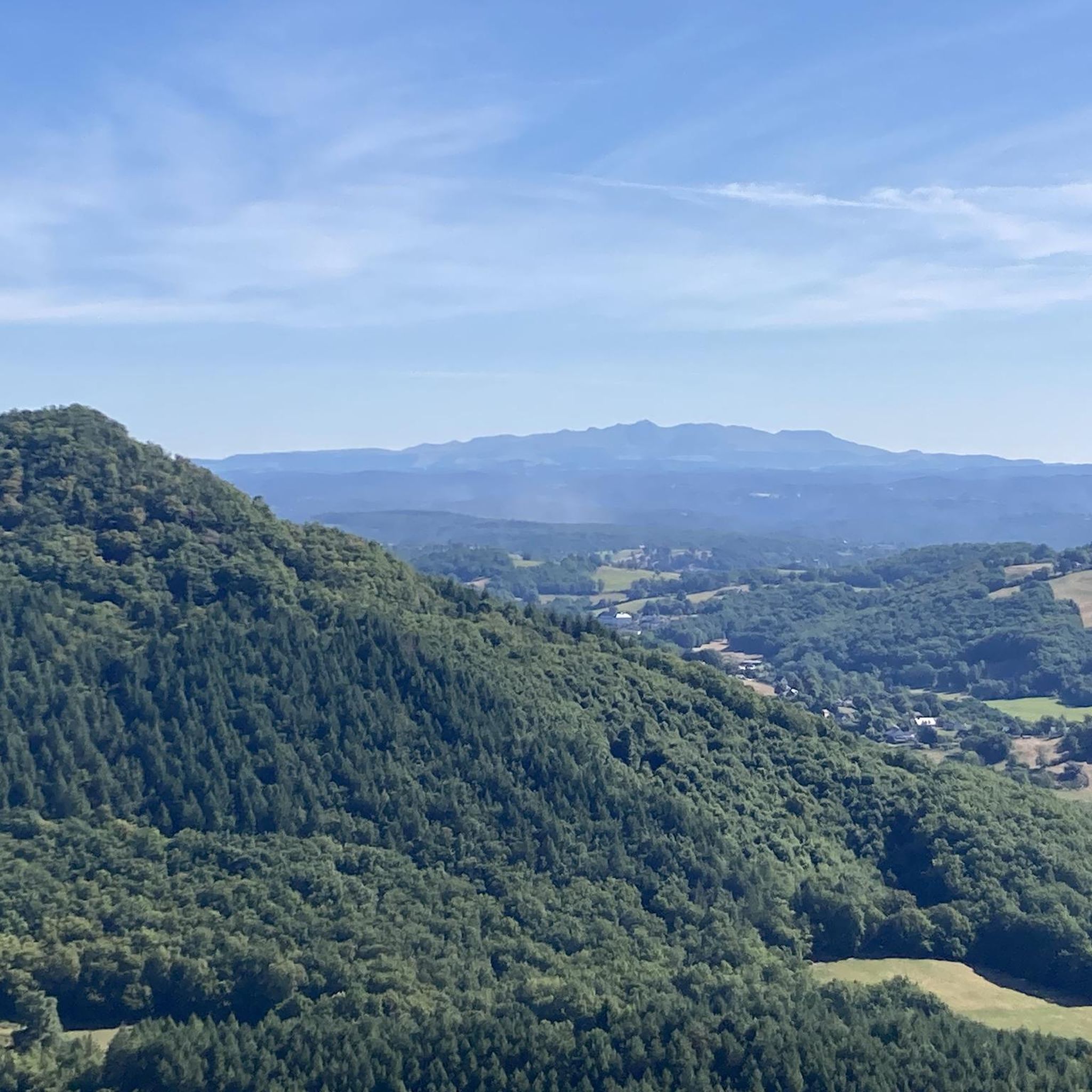
Beautiful view of Dordogne and Sumène
0
0
Frequently Asked Questions
How many hiking trails are available in Bassignac?
Bassignac offers a wide variety of hiking experiences with over 45 trails documented on komoot. These routes cater to different skill levels, including 19 easy, 18 moderate, and 8 difficult options.
Are there easy or family-friendly hiking trails in Bassignac?
Yes, Bassignac has several easy and family-friendly trails. For a pleasant walk, consider the View of the Monts du Cantal loop from Champagnac, an easy 5.8 km trail that takes about 1 hour 33 minutes through forested areas. The region also offers easy strolls like the 'Puy Ricoul' trail (3 km, 1.5 hours) as mentioned in local research.
What kind of landscapes can I expect to see while hiking in Bassignac?
Hiking in Bassignac offers diverse landscapes, including extensive forests, agricultural land, and dramatic views of the Dordogne Valley. Trails often lead along the banks of the Dordogne River and its gorges, providing perspectives of its meandering course and rocky cliffs. You'll also encounter views of the surrounding Cantal mountains and the Sumène River.
Are there any circular hiking routes in Bassignac?
Yes, many trails in Bassignac are designed as loops, allowing you to start and end at the same point. An example is the Hiking loop from Champagnac, which is an easy 6.3 km route. Another option is the Hiking loop from Ydes, an easy 5.5 km trail.
What are some notable natural attractions or points of interest along the trails?
Bassignac's trails offer access to several natural attractions. You can find the Saut de la Saule Waterfall, which is a beautiful natural feature. The region also provides stunning View over Bort-les-Orgues and the prominent Puy de Manzagol. The Peak of Charlus, though not directly on a komoot route here, is a significant local attraction offering panoramic views over the Dordogne gorges and the Cantal mountains.
What is the best time of year to go hiking in Bassignac?
The region's extensive forests provide shaded paths, making hiking enjoyable even in warmer months. The diverse landscapes, from riverbanks to mountain views, are beautiful throughout spring, summer, and autumn. While specific weather patterns vary, the natural beauty of the Auvergne region is accessible for much of the year.
Are there any trails that offer significant elevation changes for a more challenging hike?
Yes, Bassignac offers more challenging routes with significant elevation changes. For instance, the 'Trou du Loup' trail (11 km, 5.5 hours) involves considerable inclines down to the Dordogne's banks and the Chastang dam, providing a more strenuous experience for experienced hikers.
What do other hikers say about the trails in Bassignac?
The hiking trails in Bassignac are highly regarded by the komoot community, with an average rating of 4.4 stars from over 100 reviews. Hikers often praise the varied terrain, from quiet woodlands to open views, and the well-maintained network of trails that allow for immersion in the stunning landscapes of the Auvergne region and the Dordogne Valley.
Is there parking available near the trailheads in Bassignac?
While specific parking details for every trailhead are not listed, the region is generally accessible for hikers. Many trails, including those leading to the Peak of Charlus, have designated parking areas nearby, making it convenient to start your hike.
Can I hike with my dog on the trails in Bassignac?
The serene forest and riverside environments of Bassignac are generally welcoming for outdoor activities. While specific regulations for dogs on every trail are not provided, it's common for dogs to be allowed on trails in rural French areas, often requiring them to be on a leash. Always check local signage for any specific restrictions.
Are there any historical or man-made structures to see while hiking?
Yes, beyond natural beauty, you can encounter historical elements. The historic Sumène Viaduct, built in 1893, is a notable civil heritage structure within the commune. Additionally, the Neuvic Dam (Triouzoune Dam) is another significant man-made structure in the vicinity.
What is the longest moderate trail available in Bassignac?
For a longer moderate hike, consider the Gratte-Bruyères site – Gratte Bruyère Viewpoint loop from Clémensac. This trail covers 11.5 km and typically takes about 3 hours and 28 minutes to complete, offering expansive perspectives over the surrounding landscape.
Most popular attractions around Bassignac

Get inspired with the komoot mobile app


Explore more
Browse the best Hikes in other regions.
