The best road cycling routes around Méallet
4.5
(42)
1,507
riders
12
rides
Road cycling around Méallet, France, offers varied terrain nestled within the Cantal department of the Auvergne-Rhône-Alpes region. The area is characterized by valleys and diverse landscapes, providing opportunities for both challenging climbs and scenic stretches. Méallet's natural setting includes lush vegetation and a network of paved roads, making it suitable for road cyclists seeking different experiences. The region's mountain-fringe climate supports cycling through much of the year.
Best road cycling routes around Méallet
- The most popular road cycling route is…
Last updated: August 23, 2026
5.0
(1)
27
riders
41.2km
01:51
410m
410m
Moderate road ride. Good fitness required. Mostly well-paved surfaces and easy to ride.
12
riders
89.3km
04:21
1,310m
1,310m
Hard road ride. Very good fitness required. Mostly well-paved surfaces and easy to ride.

Sign up for free
10
riders
75.4km
03:54
1,290m
1,290m
Hard road ride. Very good fitness required. Mostly well-paved surfaces and easy to ride.
5.0
(1)
6
riders
108km
05:11
1,530m
1,530m
Hard road ride. Very good fitness required. Mostly well-paved surfaces and easy to ride.
4.0
(1)
5
riders
55.9km
03:08
1,110m
1,110m
Hard road ride. Very good fitness required. Mostly well-paved surfaces and easy to ride.
Get access to more routes and recommendations from other explorers.
Sign up for free
Already have an account?
Our route recommendations are based on thousands of hikes, rides, and runs completed by other people on komoot.
Start today with a free account
Your next adventure awaits.
Login or Signup

Tips from the Community

There is light in the tunnel, very good to ride
0
0
Unfortunately, there is no longer a connection for trains, but shortly behind the town center, the very good cycle path (voie verte) begins.
0
0

Beautiful road and beautiful descent to reach the dam. Very steep and busy road to leave there
0
0


The Vernéjoux Bridge spans the Dordogne River and connects the communes of Sérandon (Corrèze) and Champagnac (Cantal). The current bridge was built in 1945, following the construction of the Aigle Dam from 1941 to 1945.
0
0

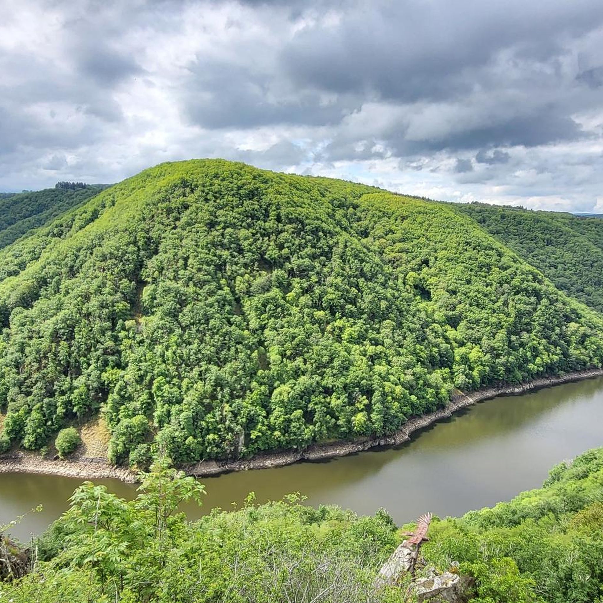
Magnificent cornice road overlooking the Dordogne.
0
0

It is the most powerful dam in the Dordogne chain. With its 290 m long and 90 m high it offers a breathtaking view downstream and the small village of Aynes.
0
0

Unobstructed view of Lake Lastouille, which is very popular for swimming and fishing. It is entirely bordered by forests and summer pastures and is one of the largest water reservoirs in the Dordogne basin. Absolutely perfect for a dip in hot weather!
0
0
Frequently Asked Questions
How many road cycling routes are available around Méallet?
There are over 100 road cycling routes around Méallet, offering a wide range of experiences for cyclists. These routes are highly rated by the komoot community, with an average score of 4.3 stars from over 20 reviews.
What kind of terrain can I expect when road cycling in Méallet?
Méallet, nestled in the Cantal department, offers varied terrain with both challenging climbs and scenic, flatter stretches. You'll find routes traversing valleys and diverse landscapes, all on paved roads. The region's mountain-fringe climate ensures suitable cycling conditions for much of the year.
Are there any challenging road cycling routes for experienced riders?
Yes, Méallet is known for its challenging routes. For instance, the Route du Puy Mary – Neronne Pass loop from Salins is a difficult 37.3-mile (60.1 km) trail featuring significant elevation gain and traversing mountain passes. Another demanding option is the Gratte Bruyère Viewpoint – Dordogne Gorges loop from Mauriac, a difficult 37.6-mile (60.5 km) path with substantial ascents and views over the Dordogne Gorges.
Are there any easier or moderate road cycling routes in Méallet?
While many routes are challenging, there are options for moderate difficulty. The Greenway in Sumène-Artense – Public water tap loop from Vendes is a moderate 24.7-mile (39.7 km) route, offering a less strenuous ride compared to the more mountainous options.
What are some notable landmarks or viewpoints I can see along the road cycling routes?
The region offers several points of interest. You might encounter the Salins Waterfall, the Suspension bridge, or the Dordogne Valley Crossing. The Greenway in Sumène-Artense also provides a pleasant cycling path.
Are there any long-distance road cycling routes around Méallet?
Yes, for those seeking longer rides, the Salers – Saint-Paul-de-Salers loop from Arches is a significant 57.1-mile (91.8 km) trail that leads through the Cantal landscape, typically completed in about 4 hours 26 minutes.
What is the best time of year for road cycling in Méallet?
Méallet experiences a mountain or mountain-fringe climate, with a temperate average annual temperature. This makes much of the year suitable for cycling. Spring and autumn offer pleasant temperatures and beautiful scenery, while summer provides warmer conditions for longer days on the road.
Are there circular road cycling routes available?
Many of the routes around Méallet are designed as loops, allowing you to start and end in the same location. Examples include the Route du Puy Mary – Neronne Pass loop from Salins and the Gratte Bruyère Viewpoint – Dordogne Gorges loop from Mauriac.
What cultural or historical sites can I discover while cycling in the Méallet area?
Beyond the natural beauty, Méallet and its surroundings are rich in history. You can explore the 12th-century Romanesque church of Saint George in the village, which features a 12th-century Romanesque door and a 17th-century altar. Other historical elements like Roman crosses, fountains, and traditional farms can be discovered along the routes.
Is there parking available for road cyclists in Méallet?
While specific parking locations for each trailhead are not detailed, Méallet is a commune with established infrastructure. Cyclists typically find parking in or near the starting points of routes, often in village centers or designated public areas. It's advisable to check local signage upon arrival.
Can I find cafes or places to stop for refreshments along the road cycling routes?
The region includes several villages and hamlets where you can find local amenities. While specific cafe stops are not listed for every route, planning your ride through towns like Salins, Mauriac, or Arches (depending on your chosen route) will likely offer opportunities for refreshments and breaks.
What makes Méallet a good destination for road cycling?
Méallet stands out for its combination of varied landscapes, from lush valleys to challenging mountain passes, all accessible via a network of paved roads. The region's natural beauty, historical sites, and dedicated cycling routes, including a 60 km cycling tour, make it a compelling destination for road cyclists of all levels.
Most popular attractions around Méallet

Get inspired with the komoot mobile app


Explore more
Browse the best Road cycling routes in other regions.
