The best walks and hikes around Silvareccio
4.3
(800)
3,155
hikers
47
hikes
Hiking around Silvareccio provides access to diverse and unspoiled natural landscapes within the Haute-Corse region of Corsica. The commune is situated at an altitude of 680 meters at the foot of Mont Sant'Anghjulu and is part of the Corsica Regional Natural Park. The terrain features majestic peaks, ancient chestnut forests, and varied trails that wind through both pristine nature and traditional villages. This area offers a range of elevations and environments for exploration.
Best hiking trails around Silvareccio
- The most…
Last updated: October 12, 2026
4.6
(27)
86
hikers
11.1km
03:47
590m
590m
Moderate hike. Good fitness required. Easily-accessible paths. Suitable for all skill levels.
4.2
(11)
51
hikers
11.0km
03:51
590m
590m
Moderate hike. Good fitness required. Easily-accessible paths. Suitable for all skill levels.

4.1
(8)
30
hikers
5.51km
01:51
250m
250m
Easy hike. Great for any fitness level. Easily-accessible paths. Suitable for all skill levels.
3.0
(1)
2
hikers
4.06km
01:40
330m
330m
Moderate hike. Good fitness required. Easily-accessible paths. Suitable for all skill levels.
4.5
(10)
46
hikers
9.15km
03:00
420m
420m
Moderate hike. Good fitness required. Easily-accessible paths. Suitable for all skill levels.
Get access to more routes and recommendations from other explorers.
Already have an account?
Our route recommendations are based on thousands of hikes, rides, and runs completed by other people on komoot.
Start today with a free account
Your next adventure awaits.

Tips from the Community

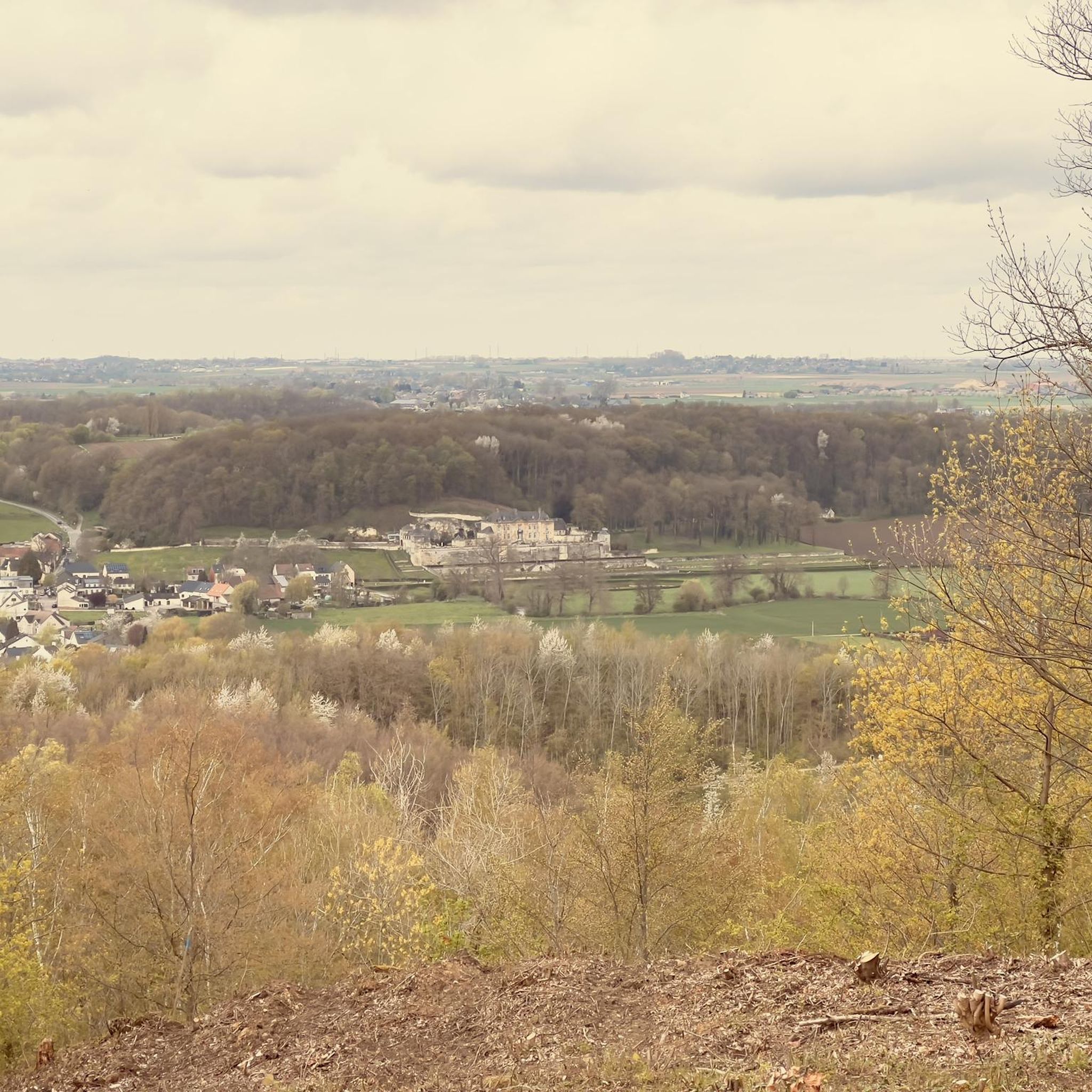
Excellent view in almost all directions!
0
0

Good half-day tour with many shady passages and a great summit view
0
0

From the distance from the starting point (church parking lot) of 750m to 1400m, the path marked with pink arrows or dots runs 60m further to the left than indicated on the Koomot map. Don't be confused!
0
0

As a reference point for the turn-off from the main path. Here the cell reception is not very good and we walked past it. The position on the map is rather rough
0
0

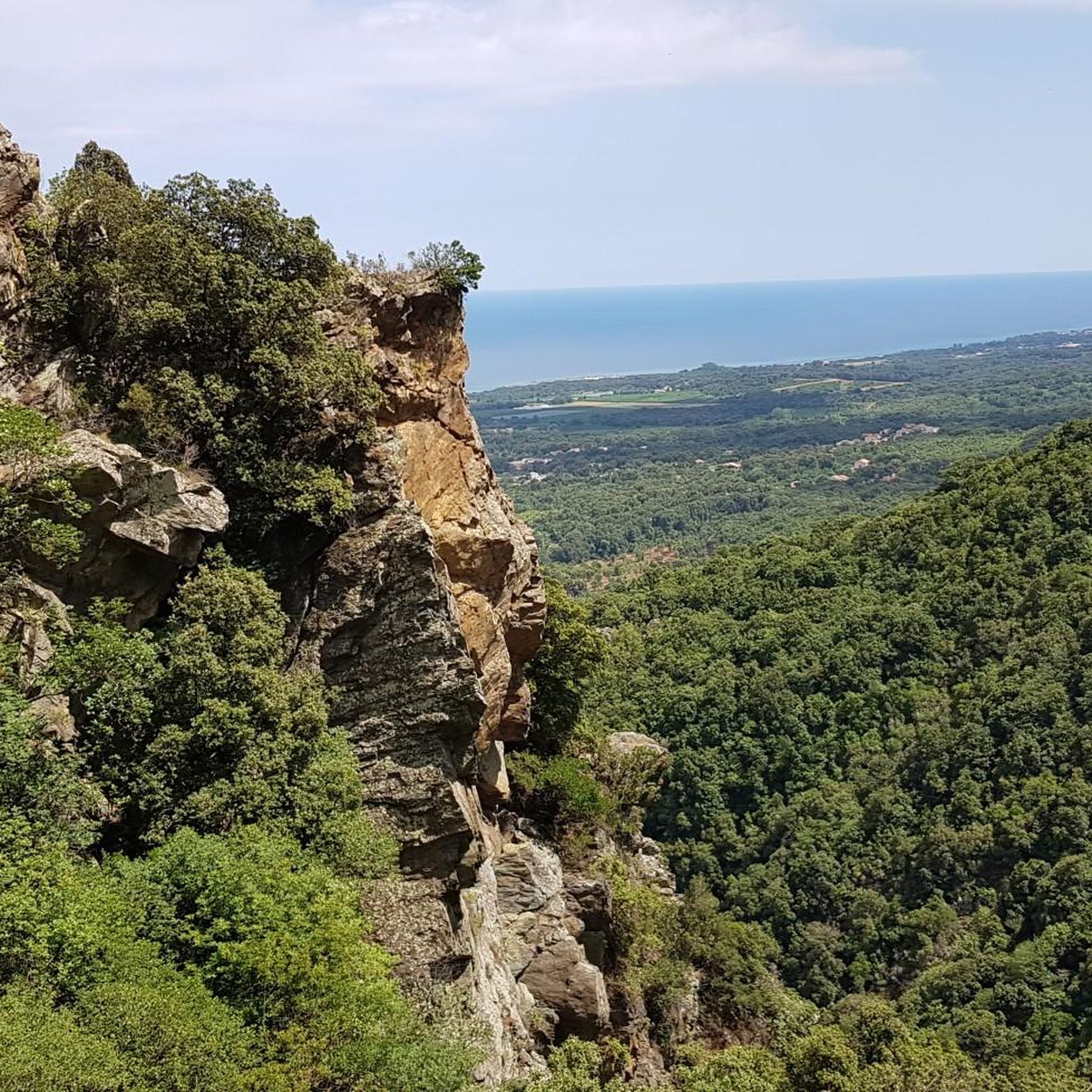
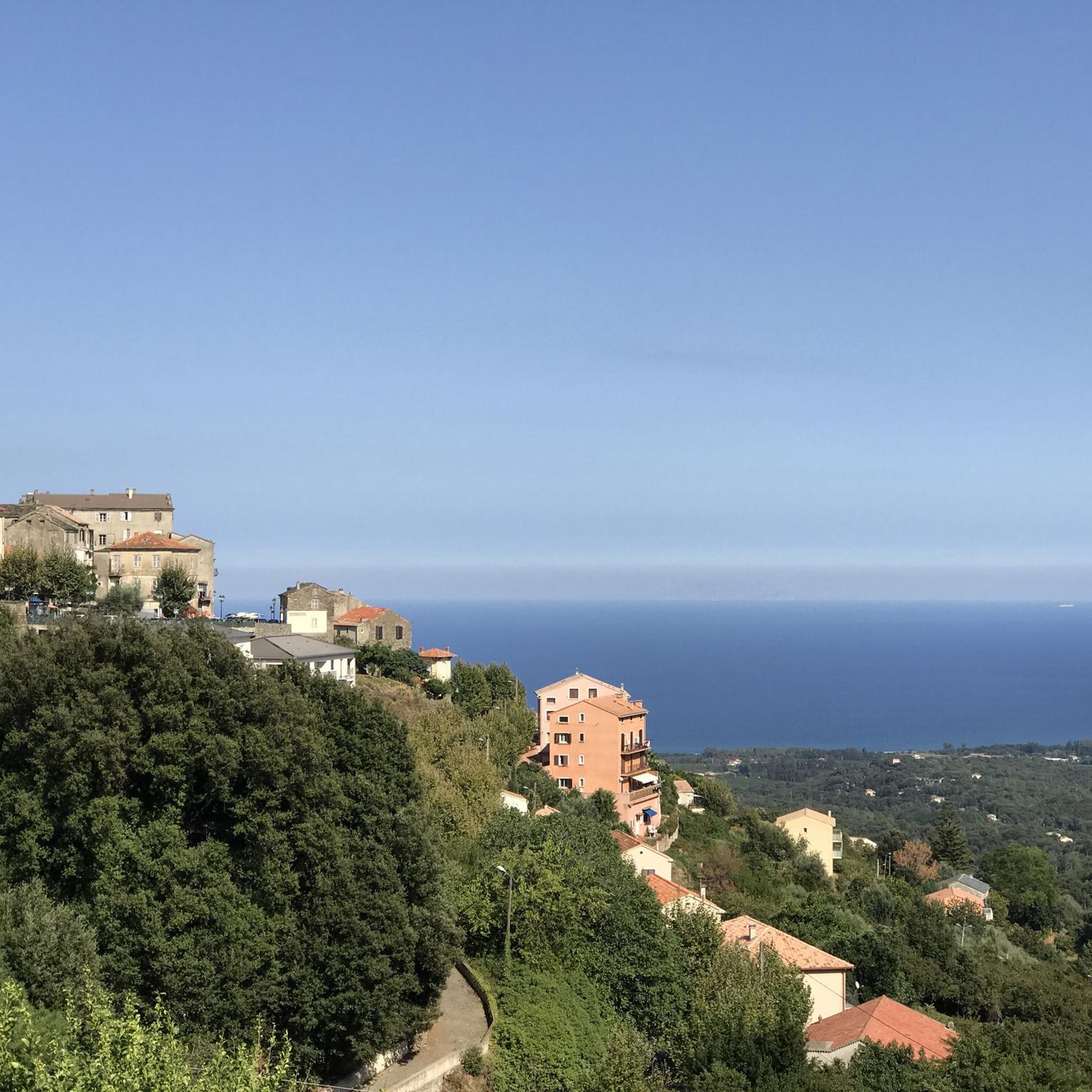
This peak is a relatively easy climb for a great reward. The sea views really give a sense of elevation.
3
0

Large rock face on the way to the summit
0
0

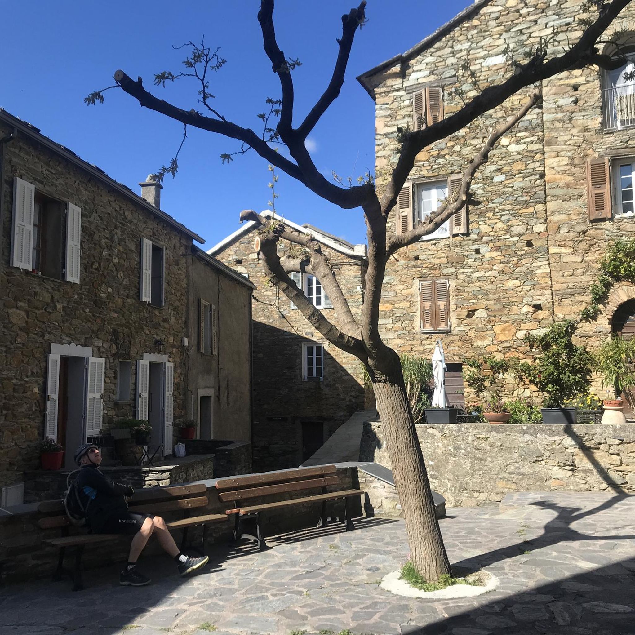
nice resting place before the last ascent to the summit
2
0
Some ways can only be found if you just run away 😉
2
0
Frequently Asked Questions
How many hiking trails are available around Silvareccio?
There are over 40 hiking trails around Silvareccio, offering a wide range of experiences. These routes are highly rated by the komoot community, with an average score of 4.5 stars.
What are the difficulty levels of hikes in Silvareccio?
The hiking options around Silvareccio cater to various fitness levels. You'll find 10 easy paths, 28 moderate routes, and 6 more challenging trails, ensuring there's something for everyone from casual walkers to experienced trekkers.
Are there any circular hiking routes in Silvareccio?
Yes, Silvareccio offers several circular routes. For example, the Monte Castellare loop from Campile provides stunning vistas of neighboring valleys. Another popular option is the Silvareccio – Mount Sant'Angelo Summit loop from Silvareccio, leading towards the prominent peak.
What kind of natural landmarks or viewpoints can I expect to see on hikes?
Hikes around Silvareccio offer breathtaking natural landmarks. You can reach the summit of Mont Sant'Anghjulu for 360-degree views encompassing the sea and surrounding villages. The Monte Sant'Angelo route is a great way to experience this. Many trails also wind through ancient chestnut forests and offer panoramic views from peaks like Croce Niolo.
Are there any waterfalls to see on hikes near Silvareccio?
Yes, the Ucelluline Waterfall, also known as Bucatoggio Waterfall, is a striking natural spectacle located between the villages of Santa Maria Poggio and San Nicolao. Its fresh, clear water and wild setting make for a picturesque walk, and it's even illuminated at night.
Are there family-friendly hiking options in Silvareccio?
Silvareccio offers easy, accessible paths suitable for all skill levels, making it possible to find family-friendly options. These trails often wind through shaded undergrowth, providing a pleasant experience for families. One such easy route is the Silvareccio – Aussicht auf die Casinca loop from Silvareccio.
What cultural heritage can be discovered along the trails?
Beyond natural beauty, some routes in the region, particularly circular routes in Castagniccia, pass through charming villages. Here, you can discover narrow streets, old houses, chapels, churches, and traditional structures like *pagliaghji* (straw huts) and bread ovens, offering insights into Corsican heritage. For more information on the cultural heritage of Silvareccio, you can visit visit-corsica.com.
What do other hikers enjoy most about hiking in Silvareccio?
The area is highly rated by the komoot community, with an average score of 4.5 stars from over 600 reviews. Hikers frequently praise the diverse and unspoiled natural landscapes, the breathtaking panoramic views from peaks like Mont Sant'Anghjulu, and the variety of trails that cater to different abilities.
Are there any specific attractions or points of interest near the hiking trails?
Yes, several points of interest are located near the hiking trails. You can explore the majestic Mount San Petrone, discover the historical Orezza Monastery Ruins, or visit the serene San Mamilianu Chapel. The Bucatoggio Stream also offers a refreshing natural spot.
What is the terrain like on hikes around Silvareccio?
The terrain around Silvareccio is highly varied. You'll encounter everything from dense, ancient chestnut forests providing ample shade to open, exposed sections on mountain slopes. Trails can range from accessible paths to more challenging routes with significant elevation changes, often leading to rocky summits with expansive views.
Can I hike with my dog in Silvareccio?
Silvareccio is part of the Corsica Regional Natural Park. While many trails are generally accessible, it's always advisable to check specific park regulations regarding dogs, especially concerning leash requirements and protected areas, to ensure a pleasant experience for everyone.
Most popular routes around Silvareccio
Most popular attractions around Silvareccio

Get inspired with the komoot mobile app


Explore more
Browse the best Hikes in other regions.
