The best running trails around Frohnhofen
4.5
(412)
4,261
runners
337
runs
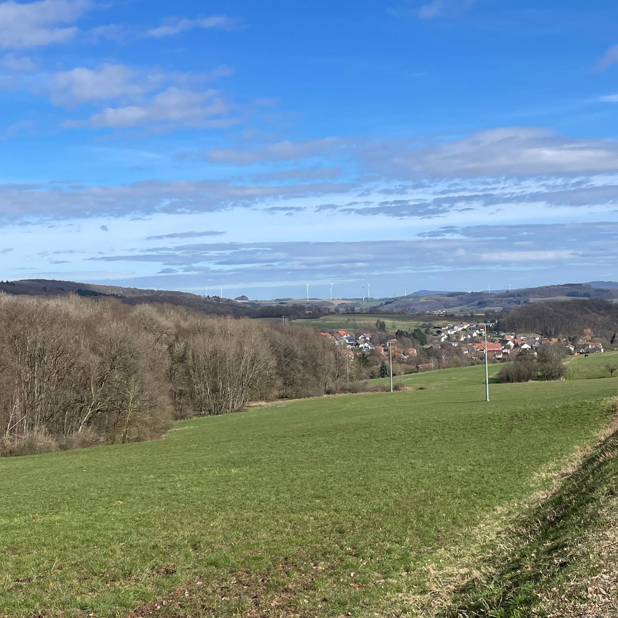
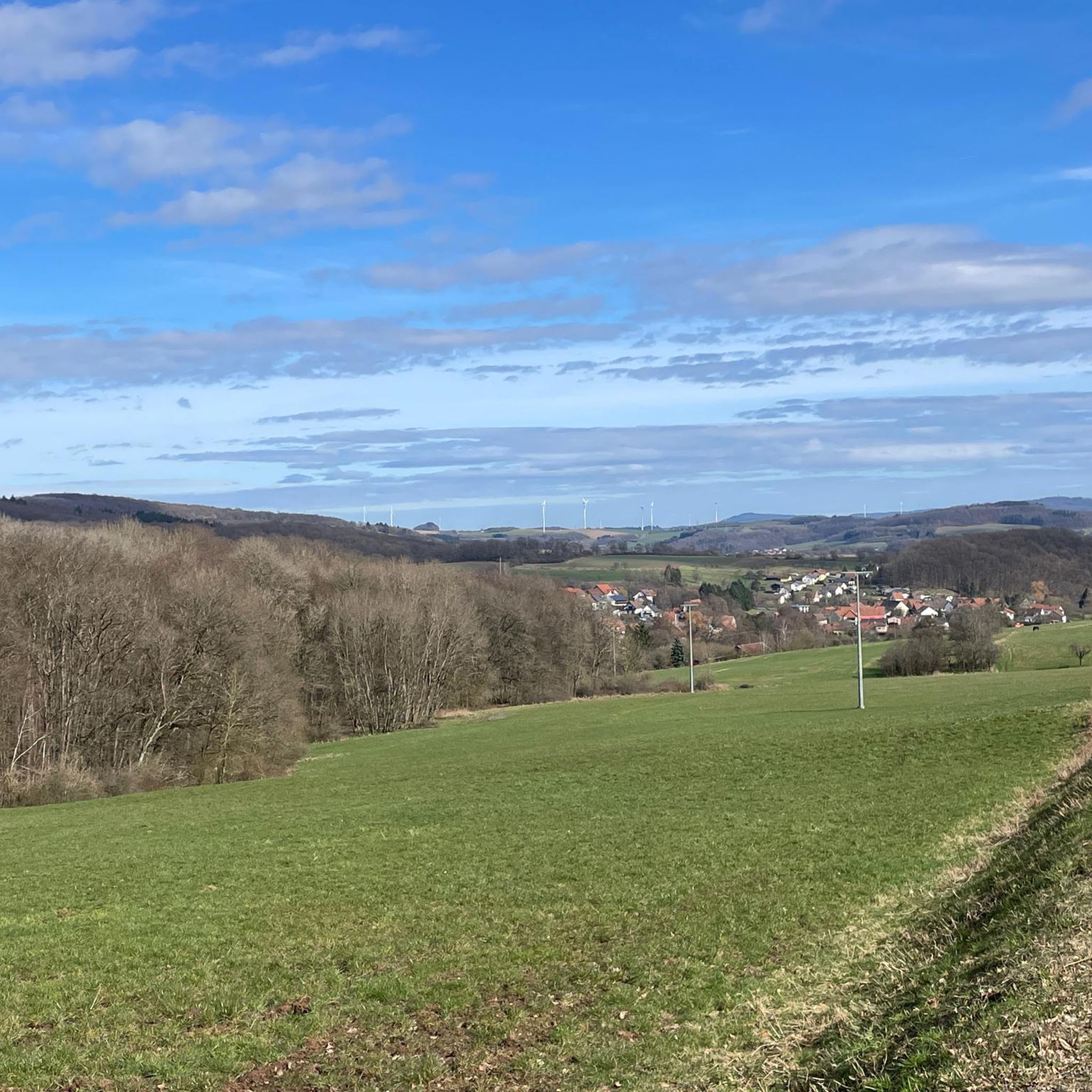
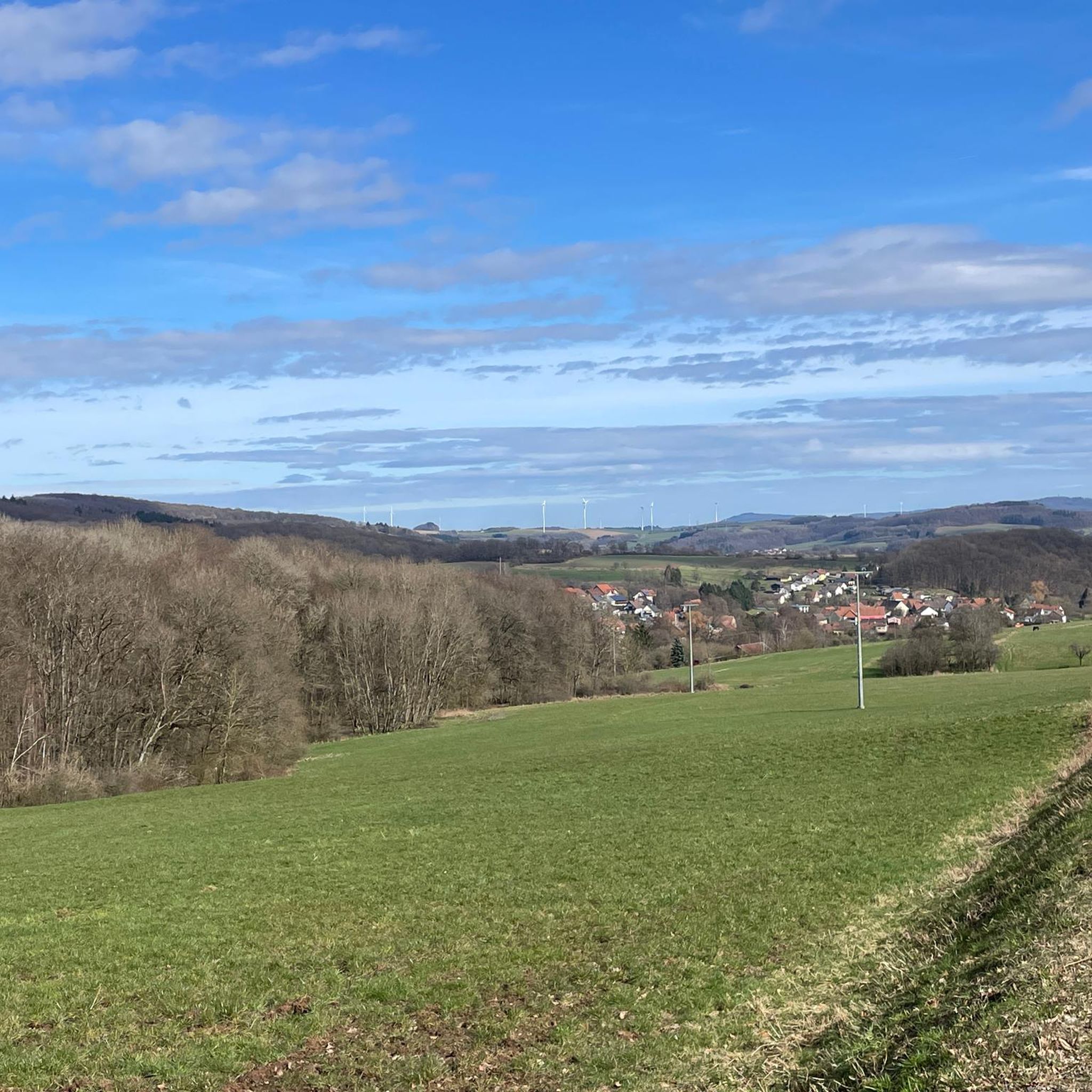
Jogging around Frohnhofen offers diverse terrain characterized by rolling hills, dense forests, and lush meadows in the Kusel district of Rhineland-Palatinate. The region is situated in the upper Kohlbach valley, with elevations reaching over 400 meters above sea level in its northern parts. The landscape provides both challenging uphill sections and serene, flat stretches, making it suitable for various running intensities. The Kohlbach stream flows through the village, and the western part of the municipal area features the "Entenweiher" (Duckpond),…
Last updated: July 10, 2026
14
runners
18.8km
02:03
220m
220m
Hard run. Very good fitness required. Mostly paved surfaces. Suitable for all skill levels.
13
runners
8.10km
00:50
40m
40m
Moderate run. Good fitness required. Mostly paved surfaces. Suitable for all skill levels.

Sign up for free
4
runners
14.7km
01:39
200m
200m
Moderate run. Good fitness required. Mostly paved surfaces. Suitable for all skill levels.
5
runners
13.7km
01:28
160m
160m
Moderate run. Good fitness required. Mostly paved surfaces. Suitable for all skill levels.
7
runners
7.87km
00:55
160m
160m
Moderate run. Good fitness required. Mostly paved surfaces. Suitable for all skill levels.
Get access to more routes and recommendations from other explorers.
Sign up for free
Already have an account?
Our route recommendations are based on thousands of hikes, rides, and runs completed by other people on komoot.
Start today with a free account
Your next adventure awaits.
Login or Signup

Tips from the Community

Beautiful but small observation tower
0
0

🌿 In the middle of the forest, traces of an old border fortification are still visible today: a rampart, ditch, and once dense thorn hedges formed the so-called "Landwehr" (Landwehr) in the 16th century. It served not only as protection, but also to control trade routes – including a customs post, the so-called "Zoll-Eiche" (Customs Oak). The adjacent road was part of an important east-west connection from Zweibrücken to Kusel. 💡 Tip: If you walk through the forest with your eyes open, you can still see the historic ditches in the terrain.
0
1
🌄 From the 375-meter-high Wartenstein, an impressive view opens up over the hills of the Northern Palatinate. This spot served as a strategic lookout point in the Middle Ages – a place for lookouts, signal transmission, and perhaps even with a tower, as traces suggest. A French map from 1806 lists Wartenstein as "Signal Warte" – a reference to its use as a Napoleonic signal tower. The name says it all: wait, look out, signal. 💡 Tip: A place with history – and a view. Perfect for a short rest with a panoramic view and a look back into the 18th century.
0
2

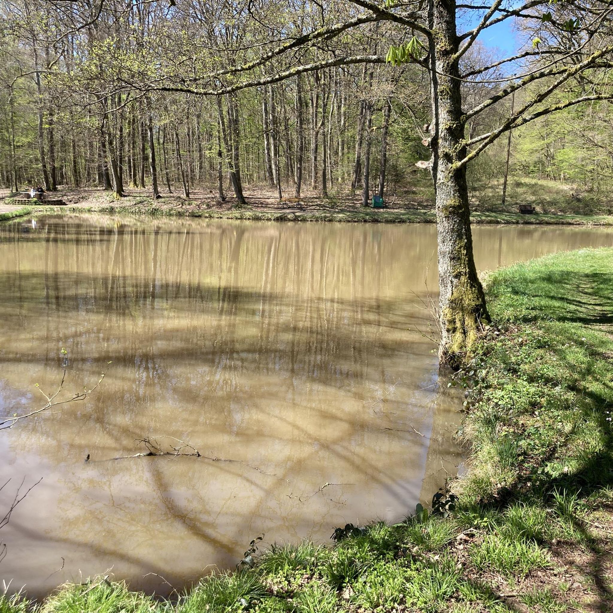
Especially in summer, Lake Ohmbach is a great place for all ages. There are restaurants, boat rentals, playgrounds, a campsite and plenty of benches. A walk along the shore is about 3 kilometres long.
5
0

Nice view and the tower is open, you can just go in.
4
0

nice hike on the cherry trail
0
1

Every time I pass by here I have to go up this beautiful observation tower. https://youtube.com/shorts/EiL8blQ2dF8?feature=share
2
0

Beautiful new tower with great views
2
2
Frequently Asked Questions
How many running routes are available around Frohnhofen?
Frohnhofen offers a wide selection of running routes, with over 320 trails available on komoot. These routes cater to various fitness levels, from easy jogs to more challenging runs with significant elevation gains.
Are there easy running routes suitable for beginners or families in Frohnhofen?
Yes, Frohnhofen has several easy running routes perfect for beginners or families. The area around the Duck Pond, Frohnhofen (Entenweiher) is particularly well-suited, offering easily accessible paths and a tranquil natural setting. You'll find 21 easy routes in total.
What kind of terrain can I expect on the jogging trails in Frohnhofen?
The jogging trails in Frohnhofen feature diverse terrain, characterized by rolling hills, dense forests, and lush meadows. You can expect a mix of challenging uphill sections, especially in the northern parts reaching over 400 meters above sea level, and serene, flat stretches along valley paths like the Kohlbach stream.
Are there any circular running routes in Frohnhofen?
Many of the running routes around Frohnhofen are circular, allowing you to start and end your run in the same location. For example, the Running loop from Krottelbach is a moderate 14.8 km circular path that offers varied scenery.
What are some interesting natural features or landmarks I might see while running in Frohnhofen?
While running in Frohnhofen, you can encounter several interesting natural features and landmarks. The Duck Pond, Frohnhofen (Entenweiher) is a significant recreation complex. You might also spot ancient trees recognized as natural monuments, such as the 'Wolfsbirnenbaum' and the 'Luitpoldlinde', or enjoy scenic views into the Nordpfälzer Bergland, especially beautiful when cherry trees bloom in spring.
Are the running routes in Frohnhofen dog-friendly?
Generally, the natural trails and forest paths around Frohnhofen are suitable for running with dogs, provided they are kept on a leash and you respect local wildlife and other trail users. Always check specific route regulations, but the region's extensive network of hiking trails often welcomes well-behaved dogs.
What do other runners say about the trails in Frohnhofen?
The running trails in Frohnhofen are highly regarded by the komoot community, boasting an average rating of 4.5 stars from over 330 reviews. Runners often praise the varied terrain, the tranquility of the forests, and the well-maintained paths that make for an enjoyable outdoor experience.
Are there any routes that offer historical sights or observation towers?
Yes, some routes incorporate historical elements. For instance, the Wartturm Observation Tower – Wartenstein Watchtower loop from Krottelbach is an 8.5-mile (13.7 km) trail that leads through forested areas and past historical watchtowers, offering both a good workout and a glimpse into the region's past.
Can I find routes with varying difficulty levels for running?
Absolutely. Frohnhofen's landscape provides options for all abilities. While there are 21 easy routes, the majority are moderate (256 routes), offering varied terrain and some elevation changes. For those seeking a greater challenge, there are also 44 difficult routes available.
Are there any running routes that pass by lakes or water features?
Yes, the region is home to several water features. The Duck Pond, Frohnhofen (Entenweiher) is a central recreational area with trails around it. Other nearby lakes like Ohmbach Lake also offer scenic running opportunities.
What is a good moderate-distance running route in the area?
For a good moderate-distance run, consider the View near Langenbach – Gravel Path loop from Krottelbach. This 9.1-mile (14.7 km) path features varied terrain and scenic views, typically taking about 1 hour and 38 minutes to complete.
Are there any routes that offer a chance to see the wider landscape of the Nordpfälzer Bergland?
Many routes in and around Frohnhofen provide beautiful vistas into the Nordpfälzer Bergland (North Palatine Uplands). The varied topography, with its rolling hills and higher elevations, naturally offers numerous viewpoints where you can appreciate the expansive regional landscape.
Most popular routes around Frohnhofen
Most popular attractions around Frohnhofen

Get inspired with the komoot mobile app


Explore more
Browse the best Running Trails & Routes in other regions.
