The best running trails around Hochstätten
4.4
(421)
5,141
runners
216
runs
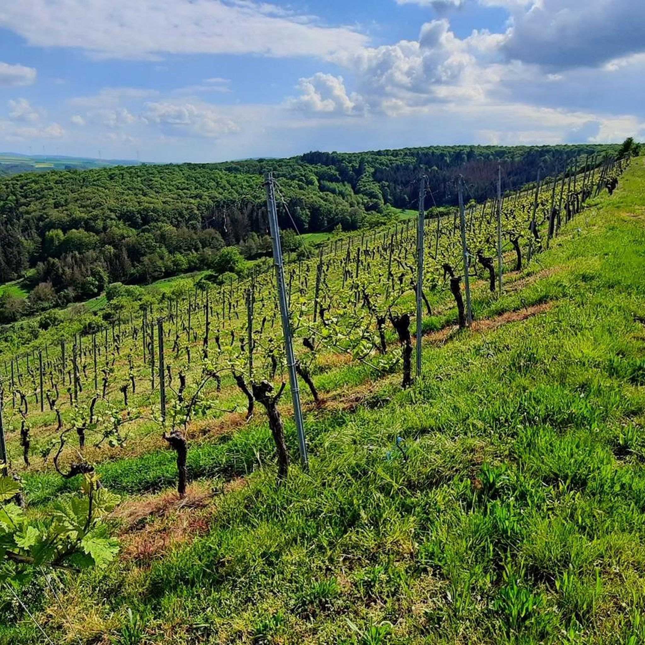
Jogging routes around Hochstätten traverse a diverse landscape, situated on the edge of the Soonwald forest and within the Nahe Valley. The region features extensive woodlands, rolling hills, and picturesque vineyards, offering varied terrain for runners. Prominent natural features include the Rotenfels, a significant rock face, and the scenic Nahe river. This topography provides a range of running experiences from gentle paths to more challenging, elevated routes.
Best jogging routes around Hochstätten
- The most popular jogging route is Pouilly Bridge…
Last updated: August 20, 2026
3.0
(1)
60
runners
Moderate run. Good fitness required. Mostly paved surfaces. Suitable for all skill levels.
5.0
(1)
37
runners
Moderate run. Good fitness required. Mostly paved surfaces. Suitable for all skill levels.

Sign up for free
10
runners
5.54km
00:35
60m
60m
Moderate run. Good fitness required. Mostly paved surfaces. Suitable for all skill levels.
12
runners
Hard run. Very good fitness required. Mostly paved surfaces. Suitable for all skill levels.
13
runners
8.94km
00:58
90m
90m
Moderate run. Good fitness required. Mostly paved surfaces. Suitable for all skill levels.
Get access to more routes and recommendations from other explorers.
Sign up for free
Already have an account?
Our route recommendations are based on thousands of hikes, rides, and runs completed by other people on komoot.
Start today with a free account
Your next adventure awaits.
Login or Signup
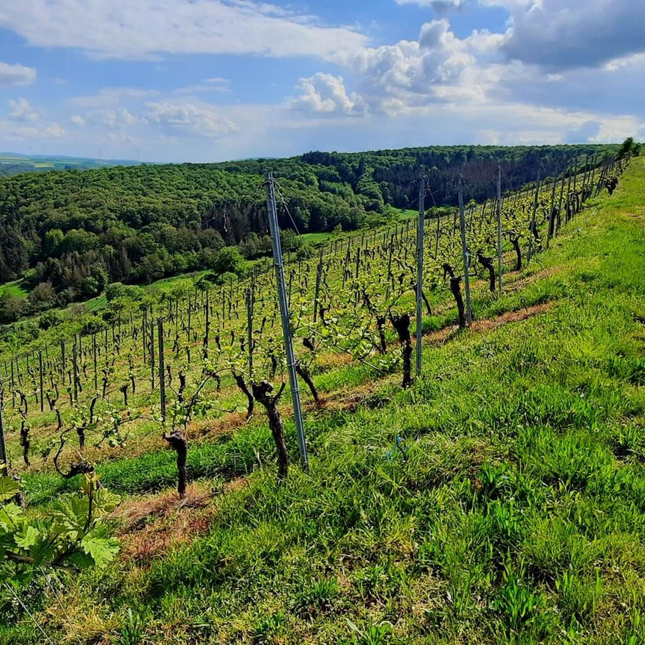
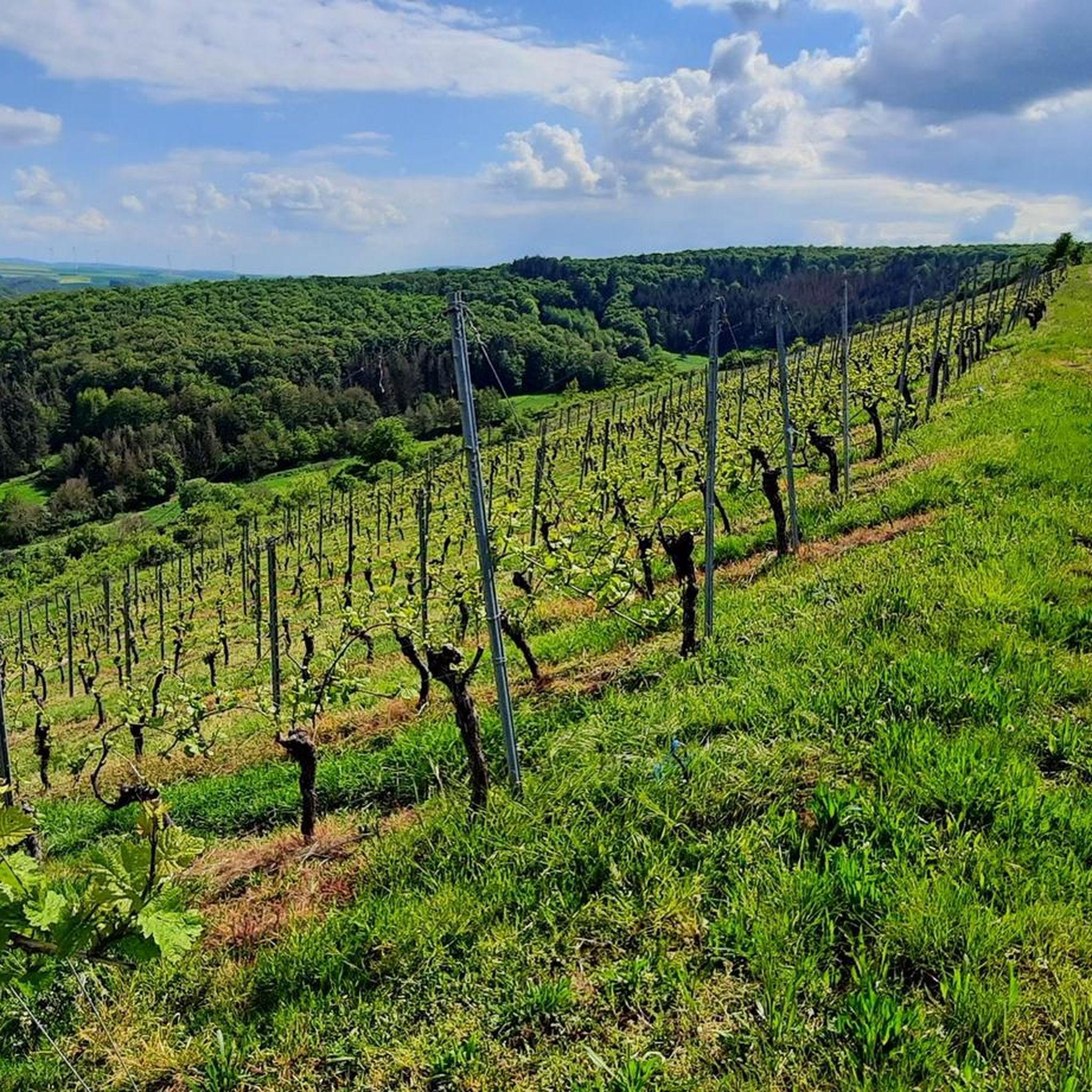
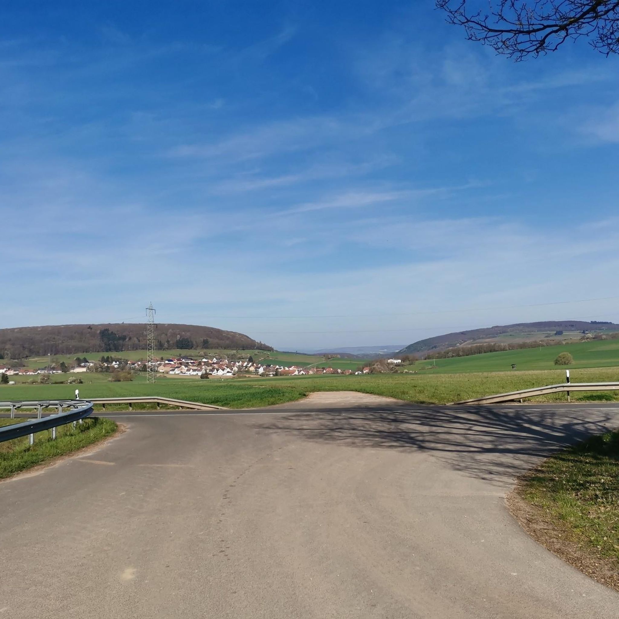
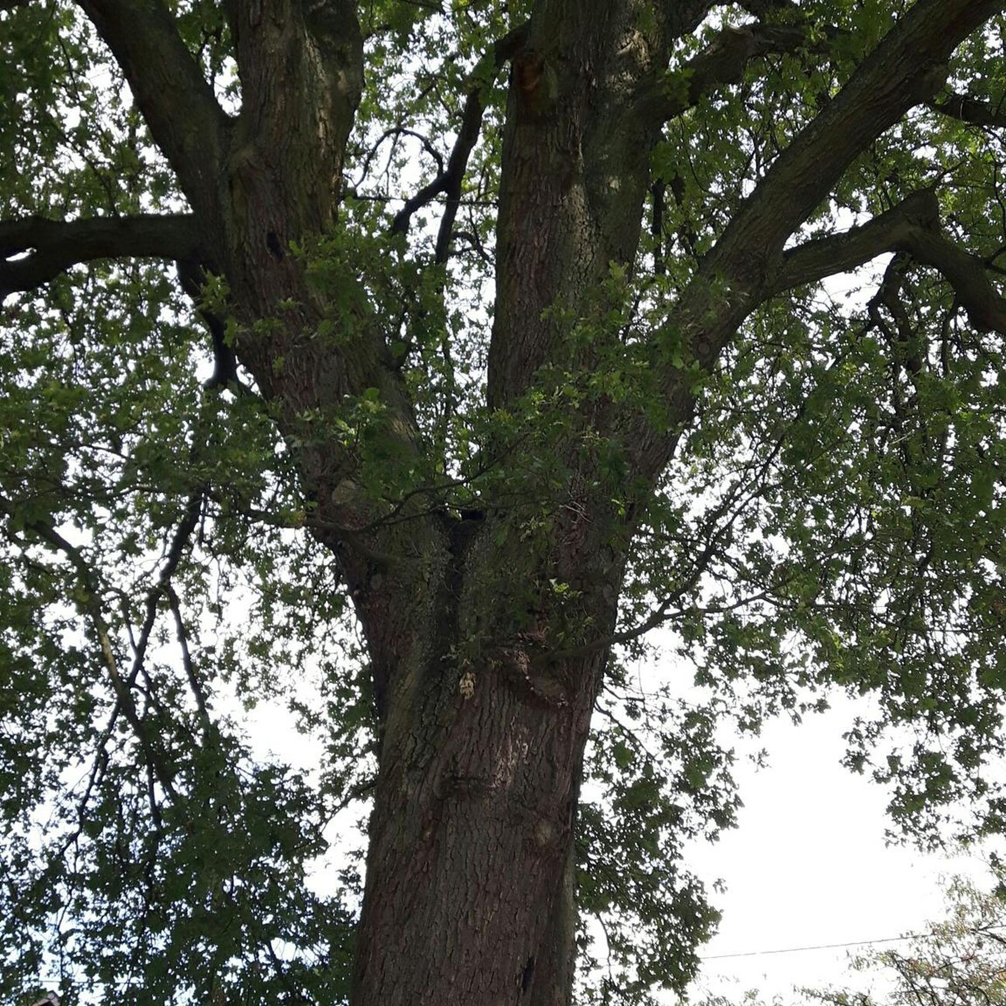
Tips from the Community

The Mainz Basin is a fossil sedimentary basin in Rheinhessen, whose filling largely dates from the younger Tertiary, approx. 31 to 19 million years ago (mya). Paleogeographically, the Mainz Basin was the bay of an arm of the sea at that time, which briefly connected the North Sea, which still extended significantly further south, with the western Paratethys, a marginal sea of the already largely closed western Tethys, during the Oligocene. Source: Wikipedia
1
0

The pedestrian bridge at the Kurhaus is for me one of the best starting points for tours around Bad Kreuznach. You can easily get started right at the Therme parking lot – whether on foot, by bike, or by mountain bike. From here, many beautiful trails lead into the Salinental and the surrounding heights. The modern bridge itself is a real eye-catcher and makes you want to go on the next discovery tour.
1
0

Cyclists dismount! Pedestrians stop
0
0

This water wheel was restored in 2011. Because the water hits the paddles in the lower third and then pushes them up, this type of water wheel is called "undershot".
0
0

Beautiful little town near Bad Kreuznach
0
0

Nice rest stop, delicious food and drinks. Open only on Sundays and public holidays.🍻🍔🍰☕️
3
1

beautiful old buildings around the market square
1
1

Great place for a rest
0
1
Frequently Asked Questions
How many running routes are available around Hochstätten?
There are over 220 running routes around Hochstätten, offering a wide variety of options for different preferences and fitness levels. The komoot community has explored these trails over 4000 times.
What kind of terrain can I expect on the running trails near Hochstätten?
The terrain around Hochstätten is incredibly diverse. You can expect extensive woodlands within the Soonwald forest, picturesque paths through the Nahe Valley and its vineyards, and more challenging, elevated routes around natural features like the dramatic Rotenfels rock face. This variety ensures options from gentle, accessible jogs to demanding trail runs.
Are there options for different fitness levels, from beginners to experienced runners?
Yes, Hochstätten caters to all fitness levels. There are 25 easy routes perfect for beginners or a relaxed jog, 149 moderate routes for those seeking a good workout, and 53 difficult routes for experienced runners looking for a challenge. For a moderately difficult route, consider the Hiwweltour Eichelberg loop from Fürfeld.
What do other runners say about the trails in Hochstätten?
The running routes in Hochstätten are highly rated by the komoot community, with an average score of 4.3 stars from over 360 reviews. Runners often praise the diverse landscapes, from the quiet woodlands to the scenic vineyards, and the variety of challenges available.
Can I find routes with historical landmarks or scenic viewpoints?
Absolutely. Many routes offer stunning views and pass by historical sites. For example, the Pouilly Bridge – View of Rheingrafenstein Castle loop from Altenbamberg provides excellent views of Rheingrafenstein Castle. You can also find viewpoints like the View of the Nahe Valley from Lemberghütte Observation Platform or the View of Rheinhessen Vineyards.
Are there any challenging trail runs for experienced runners?
Yes, for experienced runners seeking a challenge, Hochstätten offers several difficult routes. The Altenbaumburg Castle – Rheingrafenstein Castle Ruins loop from Altenbamberg is an 8.2-mile path that explores historic castle ruins and features challenging ascents, providing a demanding and rewarding experience.
Are there family-friendly running paths suitable for a leisurely jog?
Yes, there are 25 easy routes that are ideal for families or those looking for a more relaxed jog. These paths often traverse flatter sections of the Nahe Valley or gentle vineyard trails, providing a pleasant outdoor experience for all ages.
Can I bring my dog on the running trails around Hochstätten?
While many trails in natural areas are dog-friendly, it's always recommended to keep your dog on a leash, especially in wooded areas or near wildlife. Please be mindful of local regulations and other trail users to ensure a pleasant experience for everyone.
Are there circular running routes available?
Yes, many of the running routes around Hochstätten are circular, allowing you to start and finish at the same point without needing to retrace your steps. This includes popular options like the Pouilly Bridge – View of Rheingrafenstein Castle loop from Altenbamberg.
What are some good options for a shorter, easier jog?
For a shorter and easier jog, consider one of the 25 easy routes available. The Hiwweltour Eichelberg loop from Fürfeld is a moderate 3.4-mile trail that can be completed in about 35 minutes, offering scenic views without excessive difficulty.
What natural features define the running experience in Hochstätten?
The running experience in Hochstätten is defined by the dense woodlands of the Soonwald forest, the picturesque Nahe Valley with its river and vineyards, and the dramatic Rotenfels rock face. These features combine to offer varied scenery and diverse challenges for runners.
Are there any specific points of interest or landmarks to look out for while running?
Beyond the castles, you can discover various points of interest. Keep an eye out for highlights such as the View from the Gans (Bad Kreuznach), the Gangelsberg Stone Table and Scenic Viewpoint, or the historic To the hermitage.
Most popular routes around Hochstätten
Most popular attractions around Hochstätten

Get inspired with the komoot mobile app


Explore more
Browse the best Running Trails & Routes in other regions.
