The best walks and hikes around Ersa
4.6
(907)
5,513
hikers
26
hikes
Hiking around Ersa offers trails that explore the northernmost tip of Corsica, characterized by its coastal landscapes and varied elevations. The region features routes leading to lighthouses, along beaches, and through areas with historical windmills. Hikers can expect paths that traverse both flat coastal sections and more undulating terrain with notable ascents. The natural features include prominent points like Pointe d'Agnello and views over bays such as Tamarone.
Best hiking trails around Ersa
- The most popular hiking route is Northernmost…
Last updated: July 5, 2026
4.6
(32)
167
hikers
Moderate hike. Good fitness required. Easily-accessible paths. Suitable for all skill levels.
4.9
(27)
110
hikers
13.4km
03:58
360m
360m
Moderate hike. Good fitness required. Easily-accessible paths. Suitable for all skill levels.

Sign up for free
4.9
(19)
167
hikers
17.9km
05:51
790m
790m
Hard hike. Very good fitness required. Easily-accessible paths. Suitable for all skill levels.
4.8
(19)
97
hikers
7.13km
01:51
40m
40m
Easy hike. Great for any fitness level. Easily-accessible paths. Suitable for all skill levels.
4.7
(14)
121
hikers
3.85km
01:01
30m
30m
Easy hike. Great for any fitness level. Easily-accessible paths. Suitable for all skill levels.
Get access to more routes and recommendations from other explorers.
Sign up for free
Already have an account?
Our route recommendations are based on thousands of hikes, rides, and runs completed by other people on komoot.
Start today with a free account
Your next adventure awaits.
Login or Signup
Tips from the Community


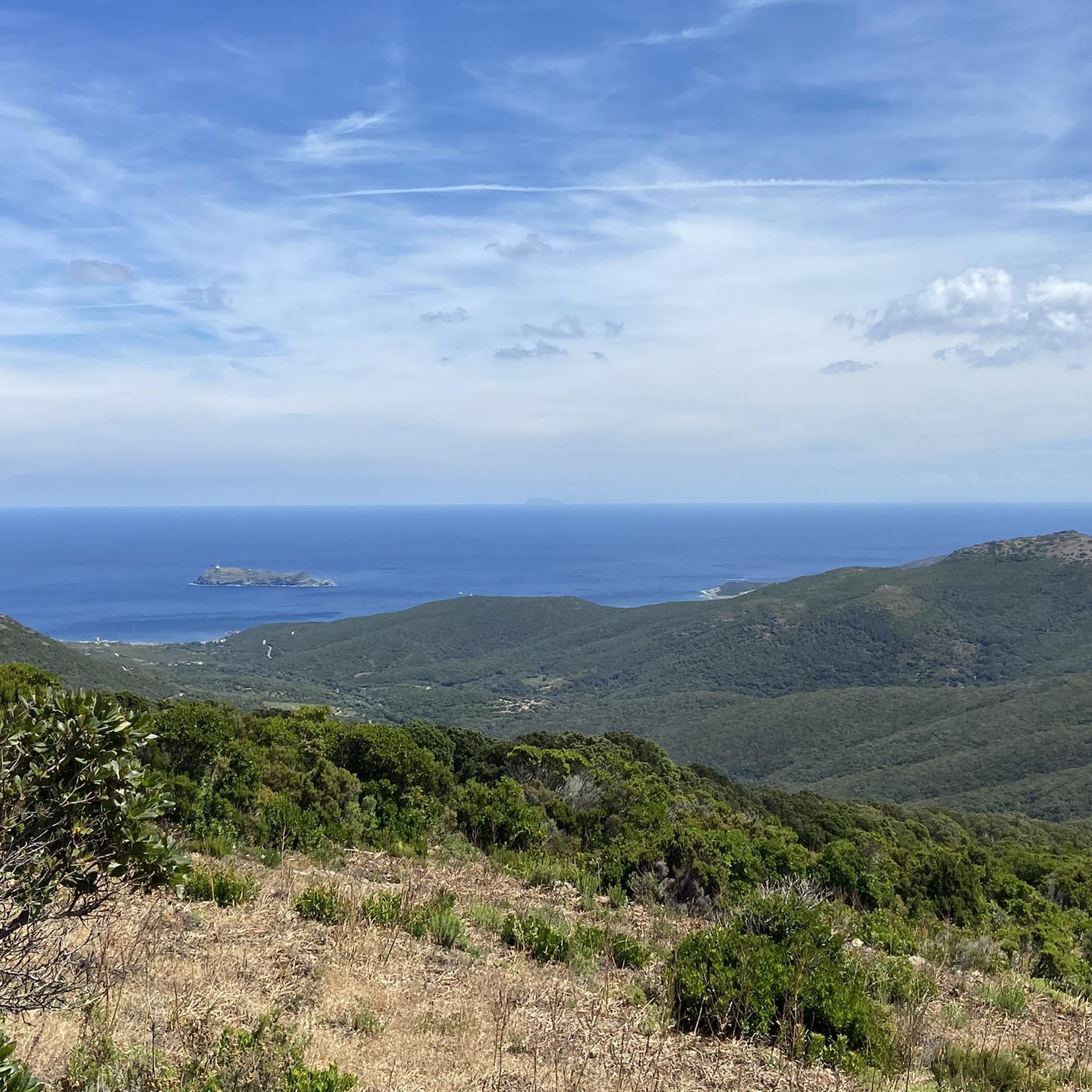
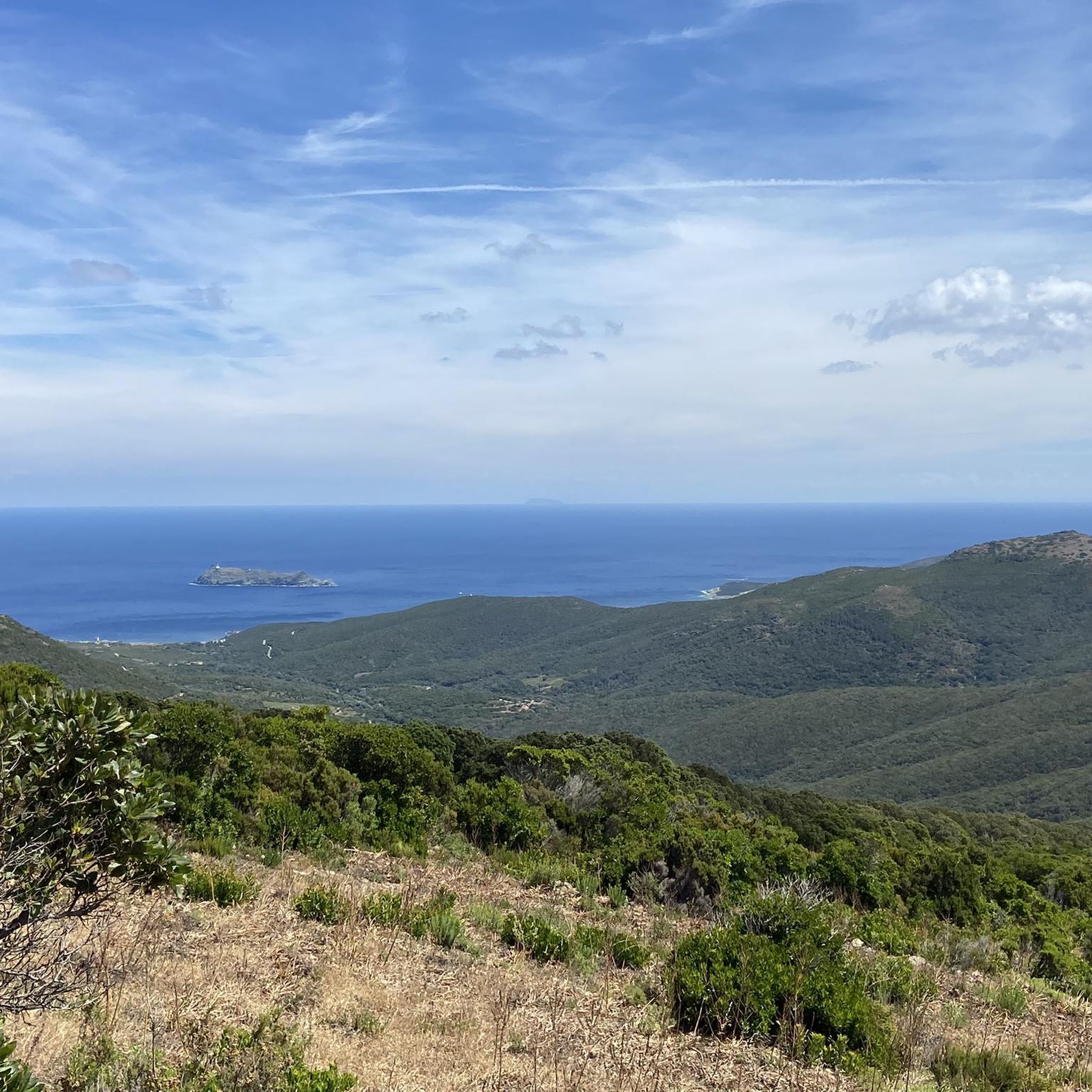
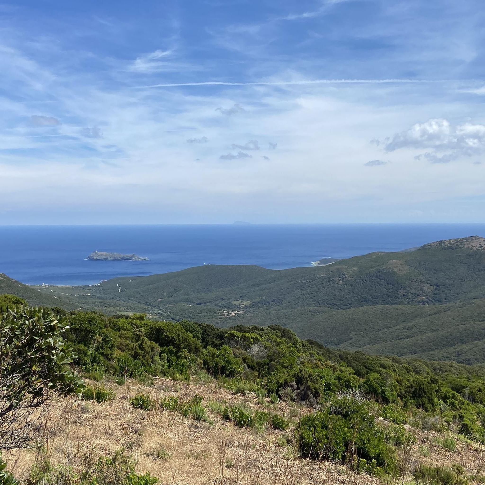
What a view from the Mattei mill, it's worth the climb.
0
0

The Fontaine de Cannelle (also known as the "Fontaine de Palmieri") is located in the picturesque, old Hameau Cannelle, above Port de Centuri in northern Corsica. This charming village spring is nestled into a rugged, weathered slate cliff, exuding natural charm combined with artistic architecture. ✨ Brief description: Installation & design: The vaulted spring lies directly beneath the cliff face, with a small brick barrel vault, an elegant arched opening, and a rectangular basin that served as a drinking and washing fountain. Historical context: Located at the terminus of the old paved road ("Via") to the village – formerly a central meeting place. The elevated access and vaulted structure demonstrate clever use of water in the mountainous terrain. Atmosphere: Surrounded by rustic lushness – old rock, overgrown spiny or medicinal plants, moss – creates a tranquil, almost meditative ambiance. Accessibility: Easily accessible via a short route from Port de Centuri or the small camping or parking area near Cannelle. Ideal as a stopover on hikes along the coast or during a village walk. 🧭 Ideal for: Photo enthusiasts: Stylish rock and water scenery with plenty of flair. Beginner hikers: A small addition to walks around Centuri-Port or the Sentier des Douaniers. Cultural explorers: A witness to traditional village infrastructure, now lovingly restored. In a nutshell: The Fontaine de Cannelle is a natural spring nestled beneath rocks, with charming architecture, surrounded by wild greenery – a quiet, culturally rich gem in Cap Corse that exudes authenticity and tranquility.
2
0

In April 2021, the mill got its wings back. It is a tourist information center (Cap Corse - Capicorsu Tourist Office) open in season with "ecotourism" projects in partnership with the Conservatoire du littoral, the Community of Corsica, the Cap Corse and Agriate Marine Natural Park and the Corsican Environmental Office.
1
1
To get there: stop at a dirt parking lot between Ersa and Centuri on the D80 and then walk (10-15 minutes) along a path to the mill where you will discover an extraordinary panorama. Passing the mill you will see a statue of the Saint Devote.
1
0
Around 1930, François Mattei transformed the "Franceschi" mill in Ersa into an advertising object for the L. N. Mattei Cap Corse aperitif, a wine from Cap Corse with cinchona bark, the company's flagship product, marketed since the end of the 19th century and whose reputation quickly became internationally known.
1
0
To get there: stop at a dirt parking lot between Ersa and Centuri on the D80 and then walk (10-15 minutes) along a path to the mill where you will discover an extraordinary panorama. Passing the mill you will see a statue of the Saint Devote.
0
0
To get there: stop at a dirt parking lot between Ersa and Centuri on the D80 and then walk (10-15 minutes) along a path to the mill where you will discover an extraordinary panorama. Passing the mill you will see a statue of the Saint Devote.
1
0
Frequently Asked Questions
How many hiking trails are available around Ersa?
There are over 25 hiking trails around Ersa, offering a variety of experiences from easy coastal strolls to more challenging ascents. You'll find options suitable for different fitness levels.
What kind of terrain can I expect on hikes around Ersa?
Hikes around Ersa primarily feature coastal landscapes, traversing both flat sections along beaches and more undulating terrain with notable ascents. You can expect paths leading to lighthouses, through areas with historical windmills, and offering panoramic views over bays.
Are there any easy, family-friendly hikes in Ersa?
Yes, Ersa offers several easy routes suitable for families. An example is the Tollare Beach – Coast View loop from Tollare, which is an easy 3.7 km (2.3 miles) path with minimal elevation gain, perfect for a relaxed walk along the coast.
What are some notable landmarks or viewpoints to see while hiking in Ersa?
Hikers can explore several interesting landmarks and viewpoints. The Mattei Windmill is a prominent feature on some trails, and you can also find stunning vistas like the View of Giraglia Island and Lighthouse. Coastal routes often lead to lighthouses, such as the Pointe d'Agnello Lighthouse.
Are there any circular walks available in Ersa?
Yes, many of the trails around Ersa are circular, allowing you to start and end at the same point. For instance, the Northernmost Point of Corsica – Pointe d'Agnello Lighthouse loop from Barcaggio is a popular moderate circular route, and the La Fontaine – View of the Bay of Tamarone loop from Ersa also offers a scenic circular experience.
What do other hikers enjoy most about hiking in Ersa?
The area is highly rated by the komoot community, with an average score of 4.6 stars from over 730 reviews. Hikers often praise the stunning coastal paths, the rewarding lighthouse viewpoints, and the panoramic bay views that define the region's trails.
Are there any challenging hikes for experienced hikers in Ersa?
Yes, for those seeking a more strenuous adventure, Ersa offers difficult trails with significant elevation gain. A notable challenging route is the La Fontaine – Mattei Windmill loop from Tollare, which covers 17.1 km (10.6 miles) and features considerable ascents through varied terrain.
Can I find hikes that offer views of beaches or opportunities to visit them?
Absolutely. Many trails in Ersa provide beautiful views of the coastline and lead to beaches. For example, the Tamarone Beach is a well-known spot that can be enjoyed during or after your hike.
What is the typical duration for hikes around Ersa?
Hike durations vary widely depending on the trail's length and difficulty. Easy coastal walks might take around an hour, while moderate loops like the Agnello Tower – Pointe d'Agnello Lighthouse loop from Barcaggio typically take about 2 hours 17 minutes. More difficult routes can extend to 5-6 hours or more.
Are there any mountain passes accessible by hiking in the Ersa area?
Yes, the region around Ersa includes several mountain passes that can be explored. Highlights include the Serra Pass and the Bocca di Santa Lucia Pass, offering different perspectives of the landscape.
What are the general elevation changes like on trails in Ersa?
Elevation changes in Ersa can vary significantly. While some coastal paths are relatively flat, many routes involve undulating terrain with notable ascents and descents. For instance, a moderate trail like the La Fontaine – View of the Bay of Tamarone loop from Ersa has an elevation gain of over 360 meters, while difficult routes can exceed 700 meters of ascent.
Most popular attractions around Ersa

Get inspired with the komoot mobile app


Explore more
Browse the best Hikes in other regions.
