The best walks and hikes around Chalais
4.6
(223)
909
hikers
35
hikes
Hiking around Chalais offers a diverse landscape characterized by rolling countryside paths, forests, and hills. Situated at the confluence of the Tude and Viveronne rivers, the region also features picturesque aquatic areas. This varied terrain provides a range of experiences for different fitness levels, from gentle strolls to more challenging treks. The natural settings allow for exploration of the tranquil beauty of the Charente region.
Best hiking trails around Chalais
- The most popular hiking route is Miallet Dam loop from Mialet, a 5.2 miles (8.3 km) trail that takes 2 hours 8 minutes to complete. This moderate route explores the area around the Miallet Dam.
- Another top favourite among local hikers is Miallet Dam loop from La Coquille, a difficult 8.1 miles (13.1 km) path. This trail offers a longer exploration of the dam's surroundings, featuring varied terrain.
- Local hikers also love the Church sa Saint Martin – Creek Crossing loop from Saint-Martin-de-Fressengeas, a 5.1 miles (8.2 km) trail leading through countryside paths and creek crossings, often completed in about 2 hours 40 minutes.
- Hiking around Chalais is defined by riverine walks, rolling countryside, and extensive forests. The network of trails offers options for different ability levels, from easy walks to more demanding routes.
- The routes in Chalais are highly rated by the komoot community with an average score of 4.6 stars from more than 200 reviews. More than 800 hikers have used komoot to explore Chalais's varied terrain.
Last updated: October 16, 2026
4.6
(37)
172
hikers
8.35km
02:09
40m
40m
Moderate hike. Good fitness required. Easily-accessible paths. Suitable for all skill levels.
4.0
(5)
26
hikers
8.21km
02:40
180m
180m
Moderate hike. Good fitness required. Mostly accessible paths. Sure-footedness required.

4.3
(7)
26
hikers
Moderate hike. Good fitness required. Mostly accessible paths. Sure-footedness required.
4.7
(38)
180
hikers
13.1km
03:38
130m
130m
Hard hike. Good fitness required. Sure-footedness, sturdy shoes and alpine experience required.
5.0
(2)
5
hikers
6.88km
01:50
70m
70m
Easy hike. Great for any fitness level. Easily-accessible paths. Suitable for all skill levels.
Get access to more routes and recommendations from other explorers.
Already have an account?
Our route recommendations are based on thousands of hikes, rides, and runs completed by other people on komoot.
Start today with a free account
Your next adventure awaits.

Tips from the Community

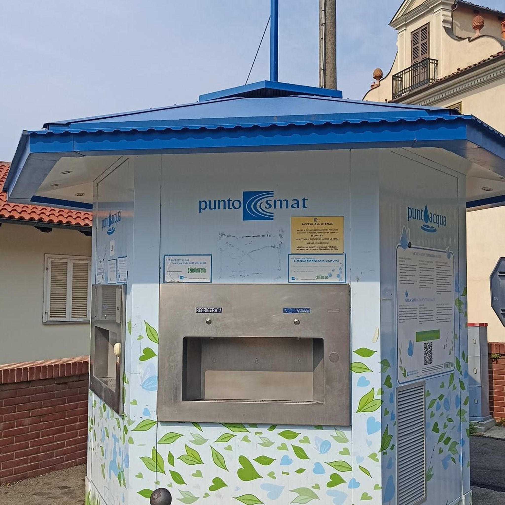
very beautiful place around the lake 8.3kmd
0
0


Beautiful place to enjoy the sun and the beautiful reservoir
0
0

To observe nature without getting in the way. Protected from the rain and very clean.
0
0
The path around the lake is very well maintained and shaded, it can easily be walked in the middle of a sunny day
0
0

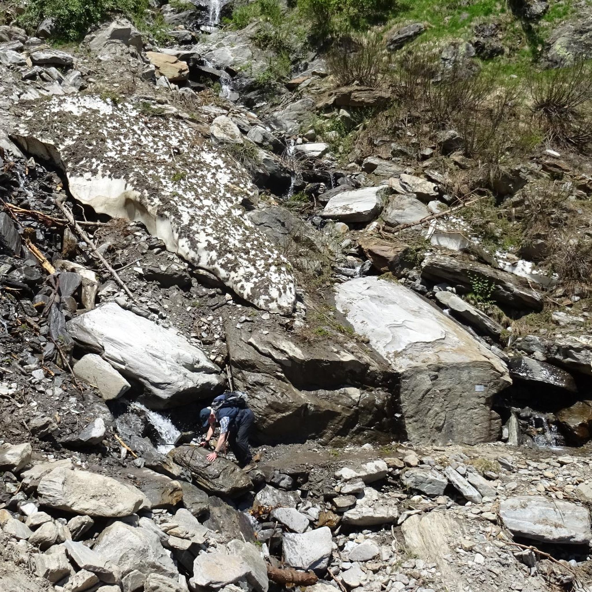
Varied walk with beautiful views, unfortunately forgot to take pictures. Semi-paved roads, despite 2 days of bad weather, easily accessible.
0
0
Frequently Asked Questions
What kind of terrain can I expect on hikes around Chalais?
The hiking trails around Chalais offer a diverse landscape. You'll find rolling countryside paths, extensive forests, and gentle hills. The region is also characterized by picturesque aquatic areas, particularly along the Tude and Viveronne rivers, providing varied scenery for your walks.
Are there hiking routes suitable for families or beginners?
Yes, Chalais offers a good selection of easy hikes perfect for families or those new to hiking. Out of over 30 routes, 9 are classified as easy. An example is the BELAIR TOUR loop from Saint-Priest-les-Fougères, which is an easy 6.9 km trail.
How many hiking trails are available in the Chalais area?
There are over 30 hiking trails available around Chalais, catering to various fitness levels. This includes 9 easy routes, 25 moderate routes, and 4 more challenging options.
What are some notable natural features or landmarks to see while hiking?
While hiking around Chalais, you can explore the tranquil riverbanks of the Tude and Viveronne rivers. The region is also home to the historic Château de Chalais, a 13th-century castle with an operating drawbridge, which adds a cultural highlight to your outdoor adventure. You might also consider visiting nearby attractions like Saint-Jean-de-Côle or Jumilhac Castle.
Are there any circular hiking routes in Chalais?
Many of the trails around Chalais are designed as loops, offering convenient circular routes. For example, the Miallet Dam loop from Mialet is a popular circular trail exploring the dam area. Another option is the Church sa Saint Martin – Creek Crossing loop from Saint-Martin-de-Fressengeas.
What is the typical duration of hikes around Chalais?
Hikes around Chalais vary in length and duration. You can find shorter strolls, like the easy routes that might take around 1.5 to 2 hours, up to longer, more challenging treks. For instance, the Miallet Dam loop from La Coquille is a difficult 13.1 km path that typically takes over 3.5 hours to complete.
What do other hikers say about the trails in Chalais?
The hiking trails in Chalais are highly regarded by the komoot community, with an average rating of 4.6 stars from over 200 reviews. Hikers often praise the varied terrain, tranquil rural settings, and the well-maintained paths that allow for immersive exploration of the Charente region.
Are the hiking trails around Chalais suitable for dogs?
While specific dog-friendly regulations can vary, the natural and rural character of the Chalais region, with its extensive countryside paths and forests, generally makes it a welcoming area for dog walkers. It's always advisable to keep dogs under control and check for any local signage regarding leash requirements or restricted areas.
What are the options for more challenging hikes in the area?
For those seeking a more strenuous experience, Chalais offers several difficult routes. An example is the Miallet Dam loop from La Coquille, an 8.1-mile (13.1 km) path with moderate elevation gains, providing a longer and more demanding exploration of the dam's surroundings.
Is public transport available to reach hiking trailheads in Chalais?
Chalais is a rural area in the Charente department. While local bus services might connect some villages, direct public transport to specific trailheads can be limited. It's often recommended to use a car to access the starting points of many hiking routes, especially those further afield from the main town.
Are there any less crowded hiking options around Chalais?
Given the tranquil rural setting of Chalais and the variety of trails available, it's generally possible to find less crowded options, especially outside of peak tourist times. Exploring some of the lesser-known moderate routes, such as the Creek Crossing – Church sa Saint Martin loop from Saint-Martin-de-Fressengeas, can offer a more solitary experience.
Most popular attractions around Chalais

Get inspired with the komoot mobile app


Explore more
Browse the best Hikes in other regions.
