The best running trails around Péronne
4.6
(82)
2,314
runners
282
runs
Jogging around Péronne offers routes along the tranquil River Somme and its canal, characterized by flat towpaths and lush green surroundings. The region features marshlands and ponds, providing a diverse natural environment for runners. While many routes are generally flat, some offer moderate elevation gain for a more challenging workout.
Best jogging routes around Péronne
- The most popular jogging route is Picnic Area loop from Azé, a 6.6 miles (10.6 km) trail that takes 1 hour 22 minutes to…
Last updated: October 14, 2026
14
runners
10.6km
01:22
280m
280m
Moderate run. Good fitness required. Mostly paved surfaces. Suitable for all skill levels.
15
runners
23.1km
02:59
590m
590m
Hard run. Very good fitness required. Mostly paved surfaces. Suitable for all skill levels.

13
runners
23.5km
03:01
590m
590m
Hard run. Very good fitness required. Mostly paved surfaces. Suitable for all skill levels.
5.0
(3)
10
runners
21.2km
02:51
690m
690m
Hard run. Very good fitness required. Mostly paved surfaces. Suitable for all skill levels.
5
runners
9.54km
01:04
90m
90m
Moderate run. Good fitness required. Mostly paved surfaces. Suitable for all skill levels.
Get access to more routes and recommendations from other explorers.
Already have an account?
Our route recommendations are based on thousands of hikes, rides, and runs completed by other people on komoot.
Start today with a free account
Your next adventure awaits.
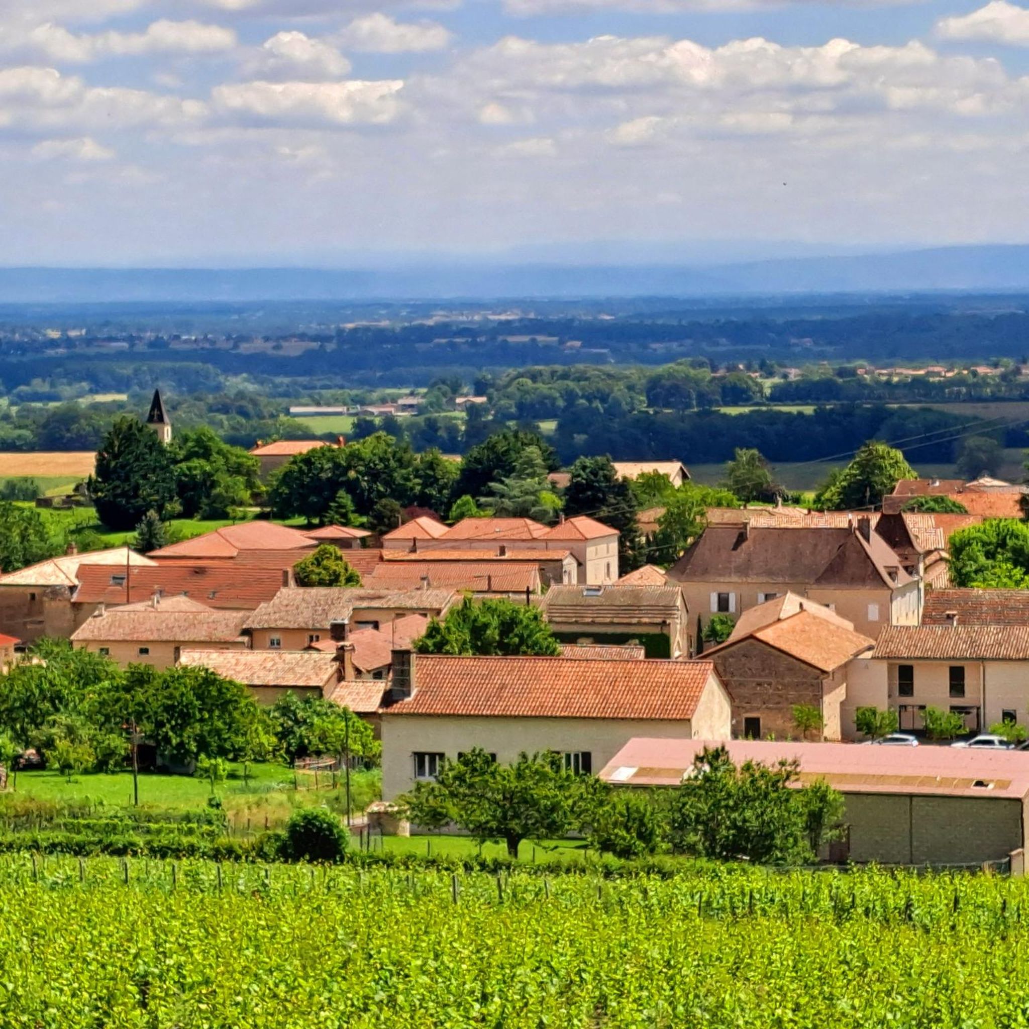
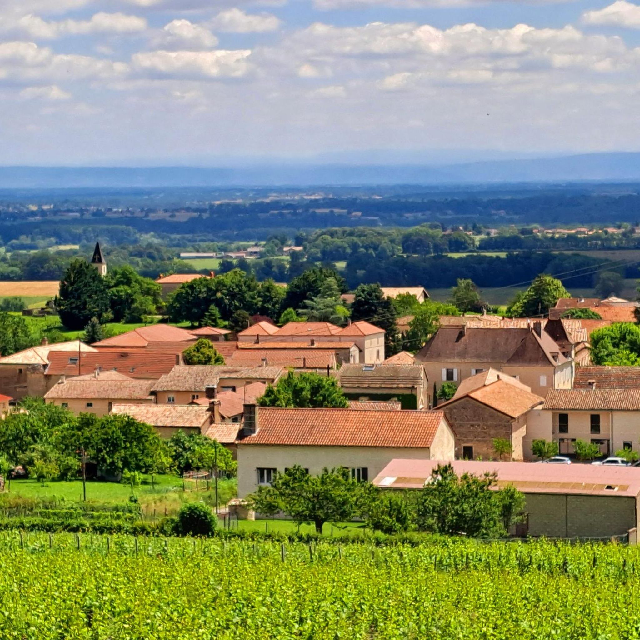
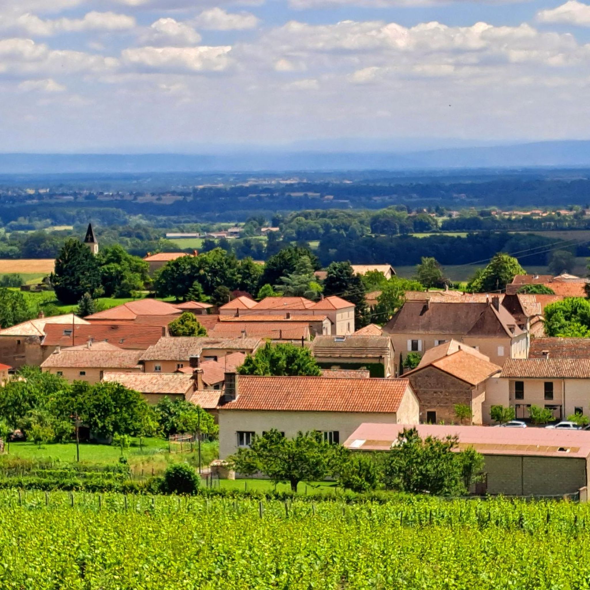

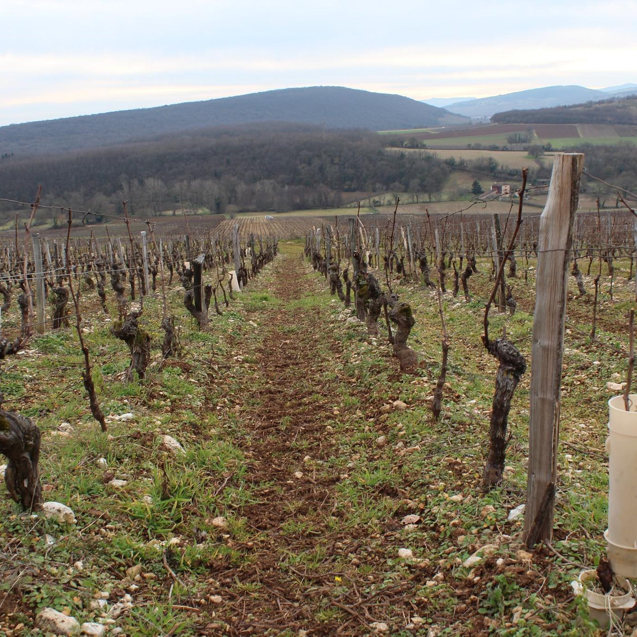
Tips from the Community

The caves were already used by humans and animals around 250,000 years ago. It is mainly known for the huge number of found bones of cave bears and cave lions. Visitors can explore a prehistoric cave full of bone finds as well as a second cave with an impressive underground river. Right on site, there is an archaeological museum that displays the finds.
1
0

The site contains a prehistoric cave and an underground river. It was once populated by bears and cave lions, earning it the nickname “Cave of 1000 Bears”. The archaeological museum completes the visit with numerous pieces from the period. Reservation is required to visit the cave.
1
0

Frequently Asked Questions
How many running routes are available around Péronne?
There are over 260 running routes around Péronne, catering to various fitness levels. This includes a mix of easy, moderate, and difficult trails for you to explore.
What kind of terrain can I expect on Péronne's jogging trails?
Jogging routes in Péronne primarily feature flat towpaths along the tranquil River Somme and its canal. You'll also find paths winding through lush green surroundings, marshlands, and ponds. While many routes are generally flat, some offer moderate elevation gain for a more challenging workout.
What is the best time of year for jogging in Péronne?
The best time for outdoor activities, including jogging, in Péronne is typically from late spring to early autumn. During these months, the weather is generally pleasant, and the countryside is at its greenest, offering comfortable temperatures for your runs.
Are there easy running paths suitable for beginners in Péronne?
Yes, Péronne offers several easy running paths perfect for beginners or those looking for a relaxed jog. These routes often follow the flat towpaths along the Canal de la Somme, providing a gentle and scenic experience.
Are there any challenging running routes for experienced joggers in Péronne?
Absolutely. For experienced runners seeking a challenge, Péronne has over 60 difficult routes. An example is the Chabotte – Azé Caves loop from Azé, a 23.1 km path with a significant elevation gain of 586 meters, winding through varied terrain.
What do other runners say about the trails in Péronne?
The running routes in Péronne are highly rated by the komoot community, with an average score of 4.5 stars from over 60 reviews. Runners often praise the peaceful atmosphere, scenic river paths, and the variety of routes available for different ability levels.
Can I find circular running routes in Péronne?
Yes, many of the running routes around Péronne are circular, allowing you to start and finish at the same point. For instance, the Picnic Area loop from Azé is a popular 10.6 km circular trail.
Are there any scenic viewpoints or landmarks along the running routes?
While jogging in Péronne, you'll encounter picturesque views of river landscapes, green meadows, and local wildlife along the Canal de la Somme. Within the town, the shaded banks around the Château de Péronne and the Étang du Cam offer a lovely setting. Historically significant sites like the Thiepval Memorial are also accessible via some routes, offering a unique blend of nature and history.
Are there family-friendly running routes in Péronne?
Yes, Péronne offers family-friendly options, particularly around the Étang du Cam. This area provides a lovely, accessible setting for a stroll or run, allowing families to enjoy nature right within the city.
Are there any running routes that pass by historical sites?
Yes, some routes allow you to explore historic sites while exercising. For example, the 'Circuit du Saillant de Fricourt et du Lochnagar Crater' is a 10.1 km moderate loop that takes runners past significant historical landmarks.
Are there options for longer distance running in Péronne?
Certainly. For those looking for longer runs, Péronne has numerous routes over 20 km. The Chabotte – Picnic Area loop from Azé is a difficult 23.5 km route with substantial elevation gain, perfect for endurance training.
What are the typical elevation gains on Péronne's running trails?
Elevation gains vary significantly across Péronne's running trails. Many routes along the river and canal are relatively flat. However, more challenging routes, like the Steep Rocky Path – Picnic Area loop from Azé, can feature elevation gains of over 600 meters, providing a good workout.
Most popular attractions around Péronne

Get inspired with the komoot mobile app


Explore more
Browse the best Running Trails & Routes in other regions.
