The best cycling routes around Rapaggio
4.8
(46)
324
riders
12
rides
Touring cycling routes around Rapaggio are characterized by challenging mountainous terrain with significant elevation changes. The region features historical ruins, natural waterfalls, and man-made dams, indicating a landscape shaped by both nature and human history. These routes often involve sustained climbs and descents, traversing through varied natural settings. The area's topography provides a demanding environment for touring cyclists.
Best touring cycling routes around Rapaggio
- The most popular touring cycling route is Saint Antoine Ruines – La Porta loop from Piedicroce…
Last updated: October 18, 2026
4.7
(24)
99
riders
55.4km
03:56
1,080m
1,080m
Hard bike ride. Very good fitness required. Mostly paved surfaces. Suitable for all skill levels.
4.8
(4)
23
riders
53.3km
03:53
1,160m
1,170m
Hard bike ride. Very good fitness required. Mostly paved surfaces. Suitable for all skill levels.

5.0
(1)
24
riders
46.2km
03:29
1,140m
1,140m
Hard bike ride. Very good fitness required. Mostly paved surfaces. Suitable for all skill levels.
5.0
(1)
12
riders
38.0km
02:51
930m
930m
Hard bike ride. Very good fitness required. Mostly paved surfaces. Suitable for all skill levels.
5.0
(1)
9
riders
58.0km
04:21
1,430m
1,430m
Hard bike ride. Very good fitness required. Mostly paved surfaces. Suitable for all skill levels.
Get access to more routes and recommendations from other explorers.
Already have an account?
Our route recommendations are based on thousands of hikes, rides, and runs completed by other people on komoot.

Tips from the Community

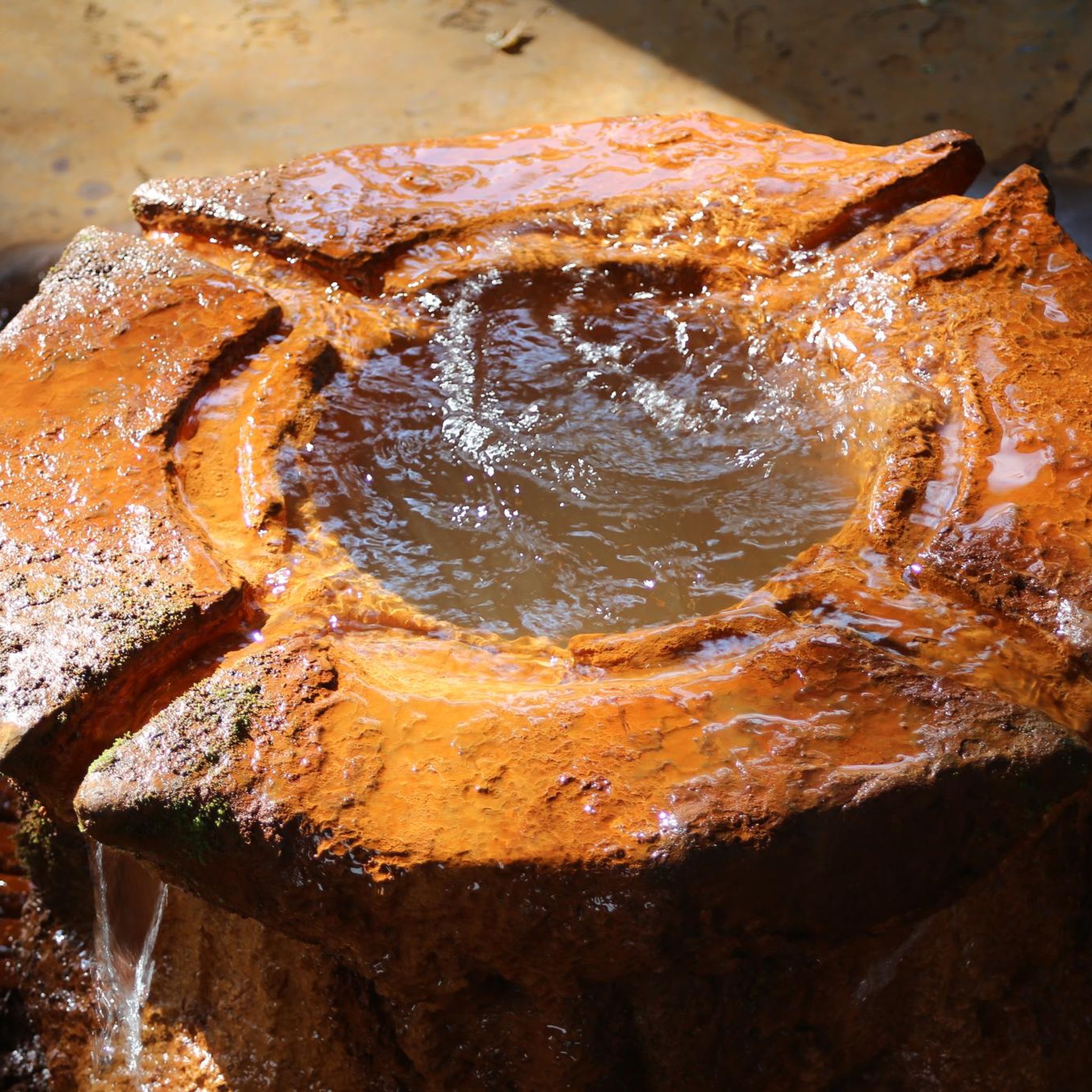
good point to take a break not directly on the road, but still close by. There is also a water point here, warm water comes out of it on sunny days.
0
0


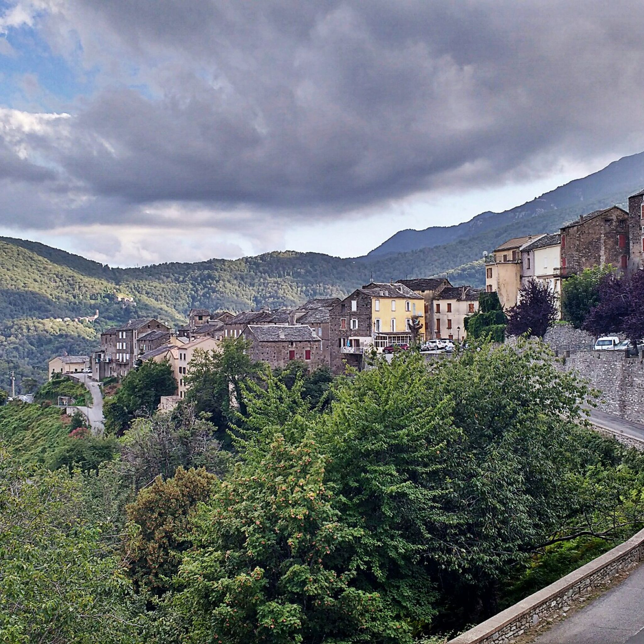
This church is one of the Baroque buildings found in Corsica. It is recognizable from afar with its distinctive bell tower, visible amidst the natural forest setting of the Costa Verde massif.
0
0

The San PETRONE summit of the Castagniccia it is visible from a large part of Haute Corse characterized by its unique summit
0
0
Main village of Ampugnani Café open all year round San Petrone (1767 m) the highest peak of Castagniccia dominates La Porta Beautiful hike 👍👍👍
0
0
This 6km route allows you to avoid the national road 😁😁😁
0
0
If you walk past his enclosure and dismount, he will show you his exuberant joy, especially if you give him some treats 😂😂😂
0
0
Feel free to climb the few steps that lead to the base of the statue on foot. An explanatory plaque is located at the base.
0
0
Frequently Asked Questions
What is the general difficulty level of touring cycling routes around Rapaggio?
Touring cycling routes around Rapaggio are characterized by challenging mountainous terrain with significant elevation changes. All 15 routes listed are considered difficult, requiring good physical condition and experience with sustained climbs and descents.
Are there any family-friendly or beginner touring cycling routes in Rapaggio?
Due to the region's mountainous topography and significant elevation changes, all touring cycling routes around Rapaggio are classified as difficult. There are currently no routes specifically designated as easy or moderate, making them less suitable for beginners or young families.
What kind of natural attractions can I expect to see along the touring cycling routes?
The routes often traverse areas featuring natural waterfalls and man-made dams. You can encounter highlights such as the Ucelluline Waterfall, Bucatoggio Waterfall, and Struccia Waterfall. The Ucelluline Waterfall – Alesani Dam loop from La Porta specifically highlights these water features.
Are there historical sites or landmarks to explore while cycling in Rapaggio?
Yes, the region features historical ruins and other points of interest. For example, the route Saint Antoine Ruines – La Porta loop from Piedicroce explores historical ruins and offers extensive views. You might also encounter the Accumoli Spring or a Fountain in Parc Naturel Régional de Corse.
What is the typical duration for completing a touring cycling route in Rapaggio?
The duration varies depending on the route's length and elevation. For instance, the Saint Antoine Ruines – La Porta loop from Piedicroce typically takes around 4 hours 45 minutes, while the longer Ucelluline Waterfall – Alesani Dam loop from La Porta can take about 7 hours 37 minutes.
Are there any circular touring cycling routes available?
Yes, many of the routes around Rapaggio are designed as loops. Examples include the Saint Antoine Ruines – La Porta loop from Piedicroce, the San Petru d'Accia – La Porta loop from San-Gavino-d'Ampugnani, and the Orezza cloister ruin – Bocca d'Arcarotta loop from Polveroso.
What do other touring cyclists enjoy most about cycling in Rapaggio?
The touring cycling routes in Rapaggio are highly rated by the komoot community, with an average score of 4.8 stars from over 20 reviews. Cyclists often praise the challenging nature of the routes, the extensive views, and the opportunity to explore historical ruins and natural water features like waterfalls and dams.
What is the best season for touring cycling in Rapaggio?
Given the mountainous terrain, spring and autumn generally offer the most pleasant conditions for touring cycling in Rapaggio, with milder temperatures. Summers can be hot, and winters may bring colder weather and potentially snow at higher elevations, making some routes more challenging or inaccessible.
Are there any less-traveled or 'hidden gem' touring cycling routes in the area?
While all routes offer unique experiences, the Bocca d'Arcarotta – Orezza cloister ruin loop from Verdèse provides a challenging journey through varied terrain, connecting historical sites and offering a different perspective of the region away from the most popular starting points.
What are the typical elevation gains on touring cycling routes around Rapaggio?
The routes in Rapaggio feature significant elevation gains, reflecting the mountainous landscape. For example, the Saint Antoine Ruines – La Porta loop from Piedicroce has an elevation gain of approximately 1,460 meters, while the Ucelluline Waterfall – Alesani Dam loop from La Porta involves over 2,500 meters of ascent.
Is public transport available to access the starting points of these cycling routes?
Information on specific public transport links directly to the starting points of these routes is limited. Given the rural and mountainous nature of Rapaggio, public transport options might be infrequent or not directly serve all trailheads. It is advisable to check local bus schedules or consider driving to access the starting points.
Where can I find parking near the touring cycling routes in Rapaggio?
Starting points for many routes are often in or near villages such as Piedicroce, San-Gavino-d'Ampugnani, La Porta, Polveroso, or Verdèse. Parking availability will vary by village, typically found in designated village car parks or along suitable roadside areas. It's recommended to check specific village amenities before your trip.
Most popular attractions around Rapaggio

Get inspired with the komoot mobile app


Explore more
Browse the best Cycling routes in other regions.
