The best walks and hikes around Saint-Pardoux-Et-Vielvic
4.5
(282)
1,077
hikers
124
hikes
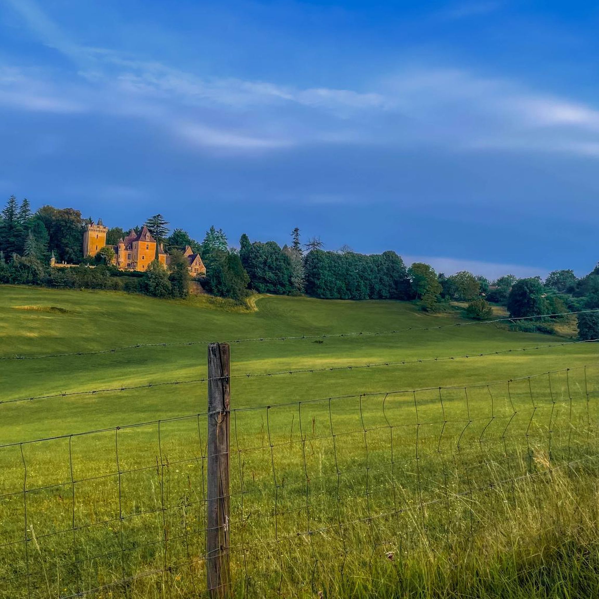
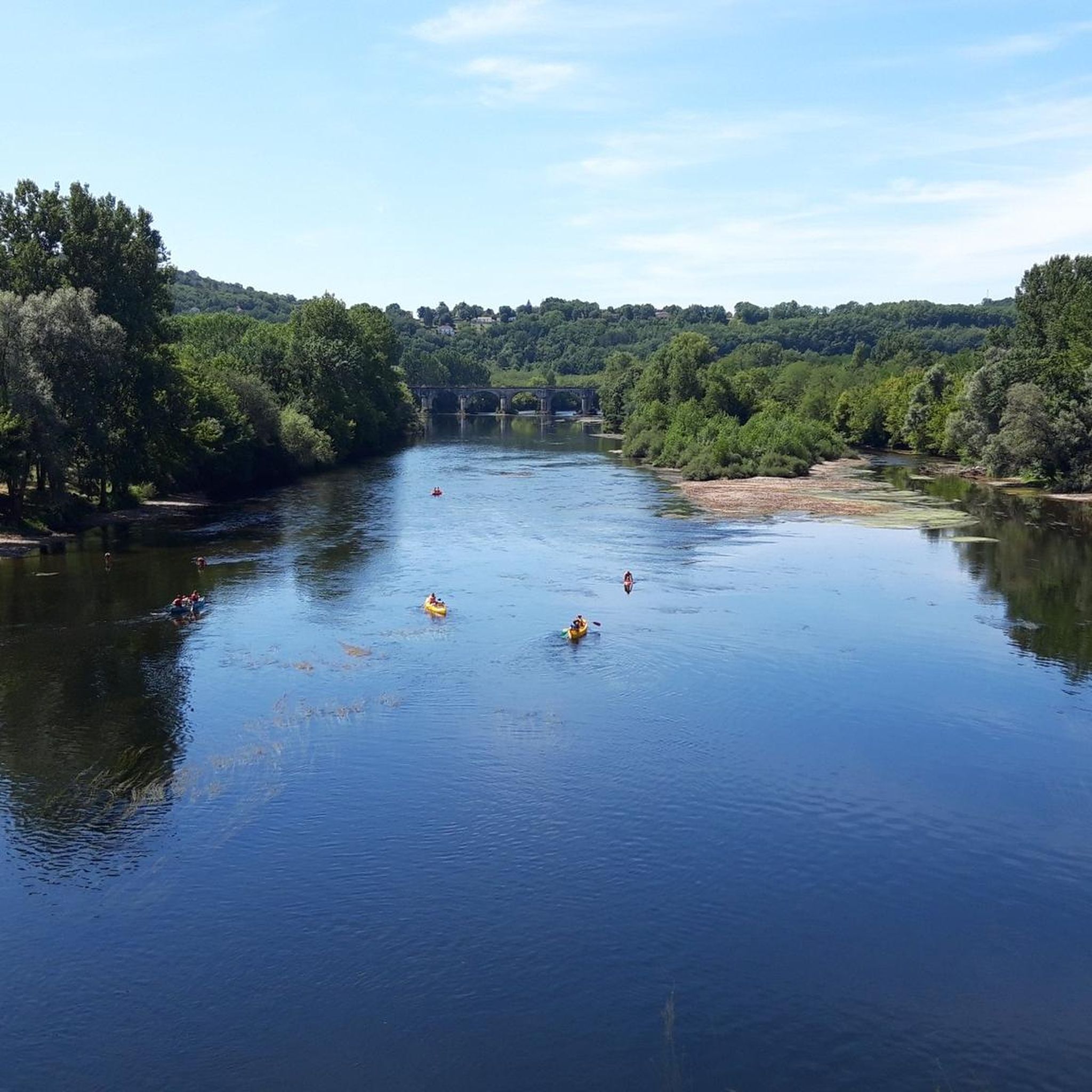
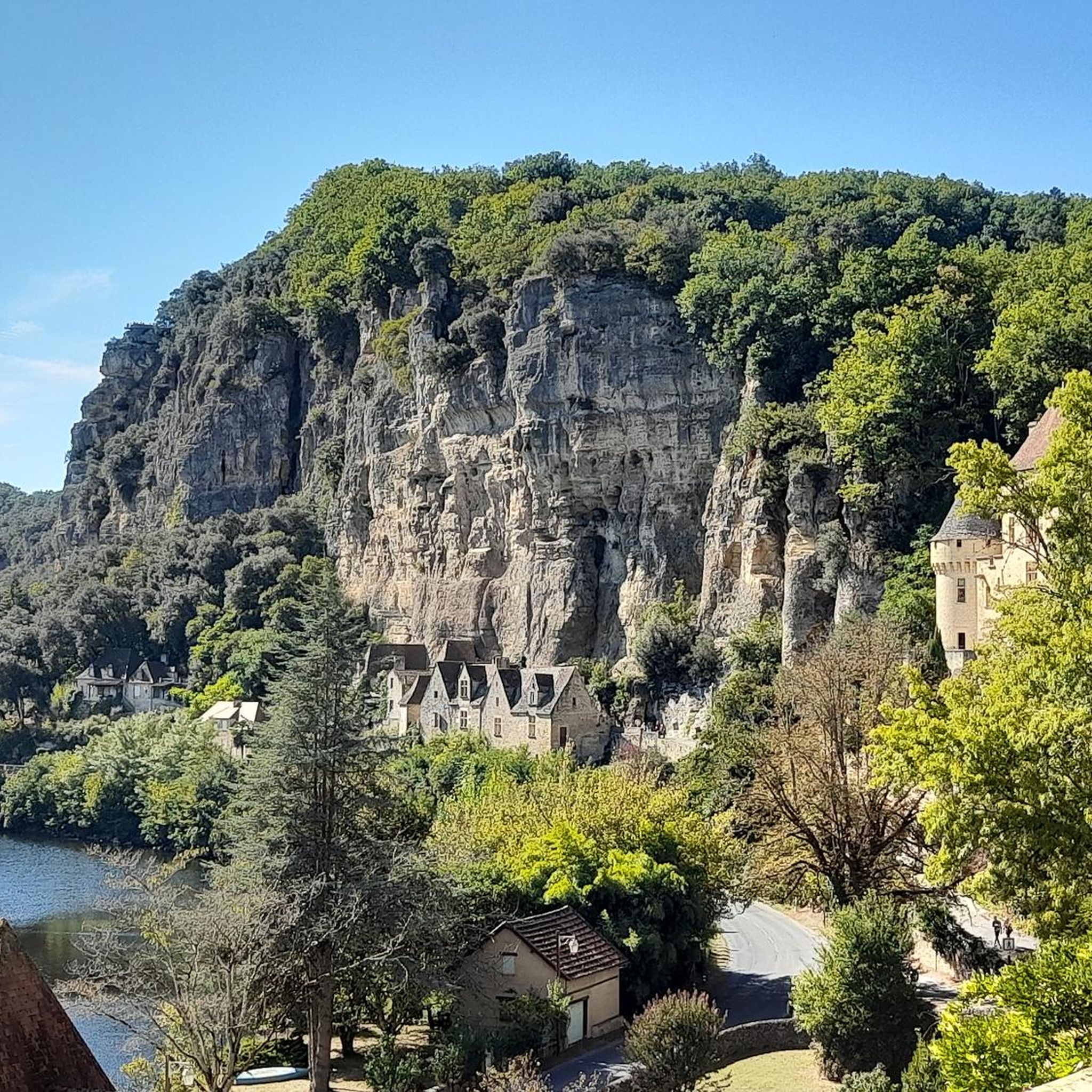
Hiking around Saint-Pardoux-Et-Vielvic offers varied terrain within the Dordogne department of Nouvelle-Aquitaine. The landscape features elevations ranging from 91 meters to 246 meters, providing diverse topography for outdoor activities. This area, part of the "Périgord Noir," is characterized by lush, green environments and a rich historical context. The region provides a network of trails suitable for different levels of challenge.
Best hiking trails in Saint-Pardoux-Et-Vielvic
- The most popular hiking route is Saint-Pardoux Church – Notre-Dame de Capelou loop from Monplaisant…
Last updated: October 18, 2026
4.8
(4)
33
hikers
9.16km
02:33
170m
170m
Moderate hike. Good fitness required. Easily-accessible paths. Suitable for all skill levels.
4.5
(4)
11
hikers
6.55km
01:47
100m
100m
Easy hike. Great for any fitness level. Easily-accessible paths. Suitable for all skill levels.

5.0
(2)
8
hikers
29.7km
08:19
600m
600m
Hard hike. Very good fitness required. Easily-accessible paths. Suitable for all skill levels.
5.0
(2)
5
hikers
18.7km
05:16
380m
380m
Hard hike. Very good fitness required. Easily-accessible paths. Suitable for all skill levels.
8
hikers
2.53km
00:43
60m
60m
Easy hike. Great for any fitness level. Easily-accessible paths. Suitable for all skill levels.
Get access to more routes and recommendations from other explorers.
Already have an account?
Our route recommendations are based on thousands of hikes, rides, and runs completed by other people on komoot.
Start today with a free account
Your next adventure awaits.
Tips from the Community


Wear long trousers, there is a nettle field that you have to go through.
0
0
The facade is very beautiful Behind there is still a stone table with a bench and a corner where I think he was making a fire. We would manage to project ourselves at this time when it must have been teeming with people
0
0
Very nice site and very well maintained The history of the source of this church can be discovered on site in the crypt which was built for it Water point and WC on site
0
0

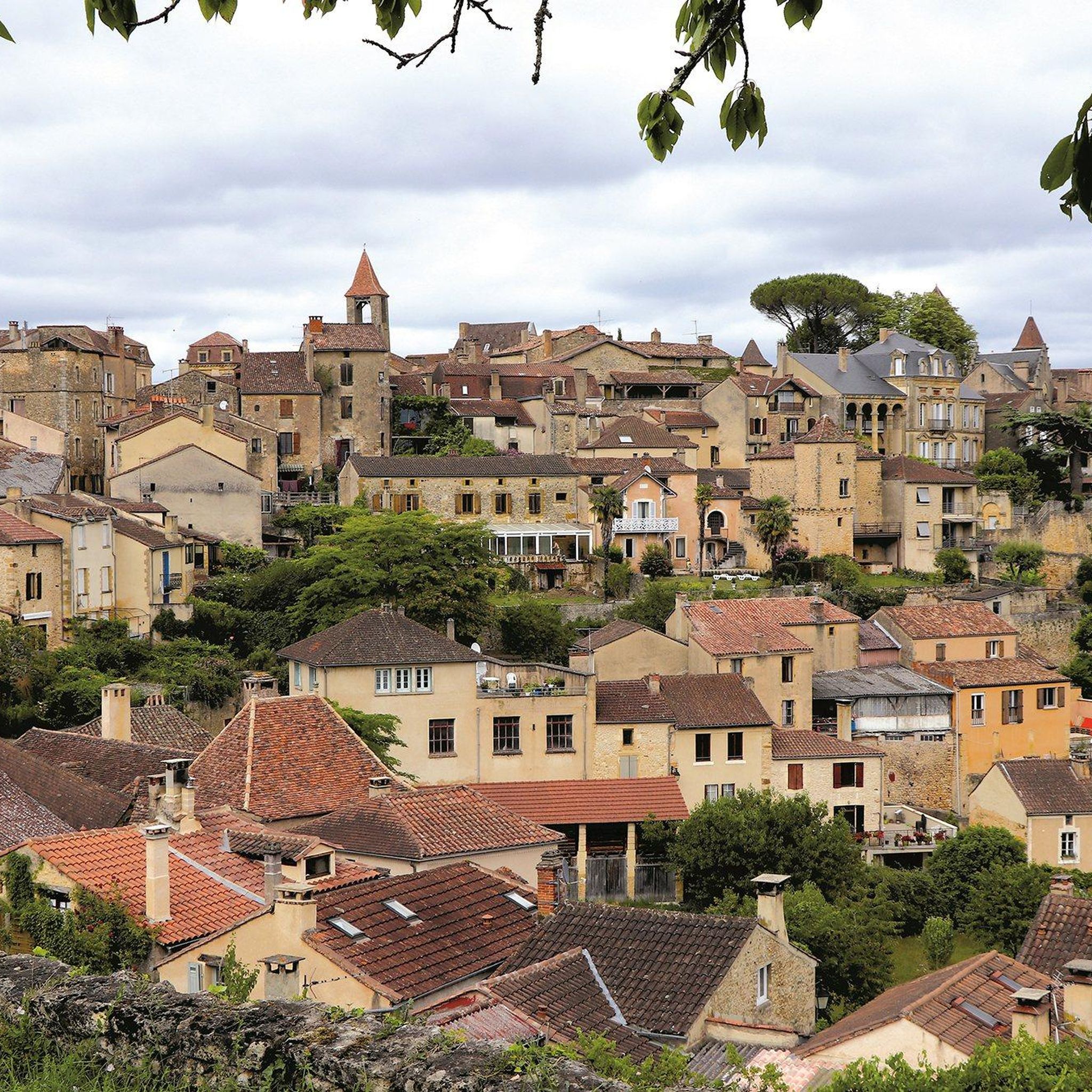
This town changed its name in 2016. Formerly called Belvès, the town is now called Pays-de-Belvès. It is a grouping of municipalities between Belvès and Saint-Amand-de-Belvès, which explains this change.
1
0
This 11th century Romanesque church has some later elements, such as the door which is surmounted by a 14th century archivolt. There is nothing novel about the small arcaded bell tower which overlooks the whole. However, these modifications in no way alter the simple beauty of the building.
1
0
In the evening the deer come out of the forest and cicadas chirp.
1
0
Frequently Asked Questions
What kind of terrain can I expect on hikes around Saint-Pardoux-Et-Vielvic?
The region around Saint-Pardoux-Et-Vielvic, part of the "Périgord Noir," features varied terrain with elevations ranging from 91 meters to 246 meters. You'll find lush, green environments and topography that offers both gentle ascents and more challenging climbs. For example, the Pays-de-Belvès Town Centre – Saint-Pardoux Church loop from Belvès includes an elevation gain of over 370 meters.
Are there easy hiking trails suitable for beginners or casual walkers?
Yes, Saint-Pardoux-Et-Vielvic offers a good selection of easy trails. Out of over 100 routes in the area, 37 are classified as easy. An example is the Relais de Saint-Pardoux – Saint-Pardoux Church loop from Monplaisant, which is 6.5 km long with a gentle ascent of nearly 100 meters.
What interesting landmarks or attractions can I see near the hiking trails?
The area is rich in historical and natural attractions. You can explore charming villages like Monpazier, known for its exceptional 13th-century bastide and market square, or the medieval Saint-Cyprien Medieval Village. The significant 12th-century Cadouin Abbey is also nearby, offering cultural exploration alongside natural walks.
Are there any family-friendly hiking options in the area?
Many of the easy trails are suitable for families. The varied landscape provides opportunities for shorter, less strenuous walks that can be enjoyed by all ages. Look for routes with lower elevation gains and shorter distances, such as the Pays-de-Belvès Town Centre loop from Sagelat, which is only 2.5 km long.
What do other hikers say about the trails in Saint-Pardoux-Et-Vielvic?
The hiking routes in Saint-Pardoux-Et-Vielvic are highly rated by the komoot community, with an average score of 4.4 stars from over 200 reviews. Hikers often praise the varied terrain, lush green environments, and the proximity to charming villages that enhance the outdoor experience.
Are there circular hiking routes available?
Yes, many of the trails around Saint-Pardoux-Et-Vielvic are designed as circular routes, allowing you to start and end in the same location. An example is the Saint-Pardoux Church – Notre-Dame de Capelou loop from Monplaisant, a 9.2 km trail.
When is the best time of year to go hiking in Saint-Pardoux-Et-Vielvic?
The region's lush, green environments suggest that spring, summer, and autumn are ideal for hiking. During these seasons, the weather is generally pleasant, and the natural beauty of the Dordogne is at its peak, offering comfortable conditions for exploring the trails.
Is it possible to find parking at trailheads?
While specific parking information for every trailhead isn't always available, many villages and popular starting points in the Dordogne region typically offer public parking facilities. It's advisable to check local maps or komoot tour details for parking suggestions near your chosen starting point.
Are dogs allowed on the hiking trails?
Generally, dogs are welcome on many hiking trails in rural areas of France, especially if kept on a leash. However, specific rules can vary depending on the trail or protected natural areas. It's always best to observe local signage and be respectful of wildlife and other hikers.
How many hiking routes are there in total around Saint-Pardoux-Et-Vielvic?
There are over 100 hiking routes available around Saint-Pardoux-Et-Vielvic, offering a wide range of options for different skill levels and preferences. This includes 37 easy, 63 moderate, and 7 difficult trails.
What are some longer, more challenging hikes in the area?
For experienced hikers seeking a challenge, routes like the Pays-de-Belvès Town Centre – Saint-Pardoux Church loop from Belvès are available. This difficult 18.7 km trail features an elevation gain of over 370 meters and typically takes around 5 hours to complete.
Most popular routes around Saint-Pardoux-Et-Vielvic
Most popular attractions around Saint-Pardoux-Et-Vielvic

Get inspired with the komoot mobile app


Explore more
Browse the best Hikes in other regions.
