The best running trails around Immerath
4.5
(302)
1,937
runners
125
runs
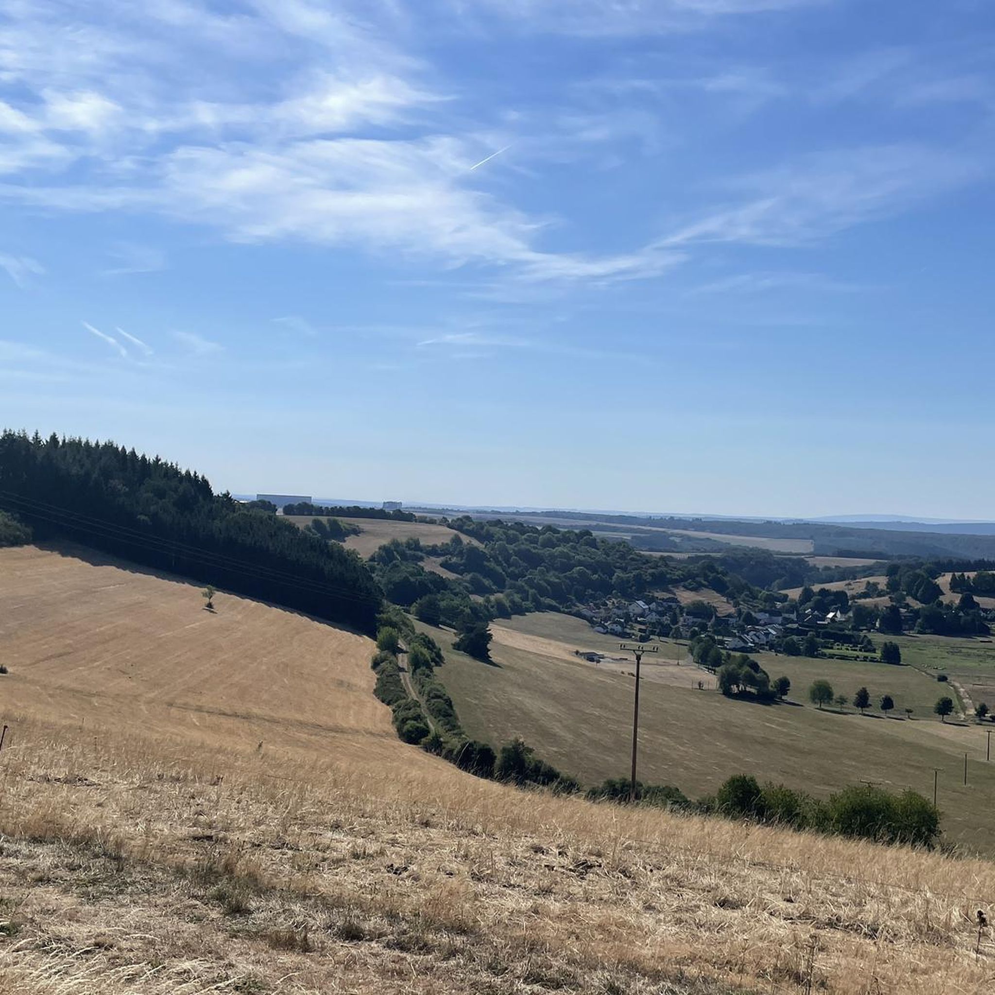
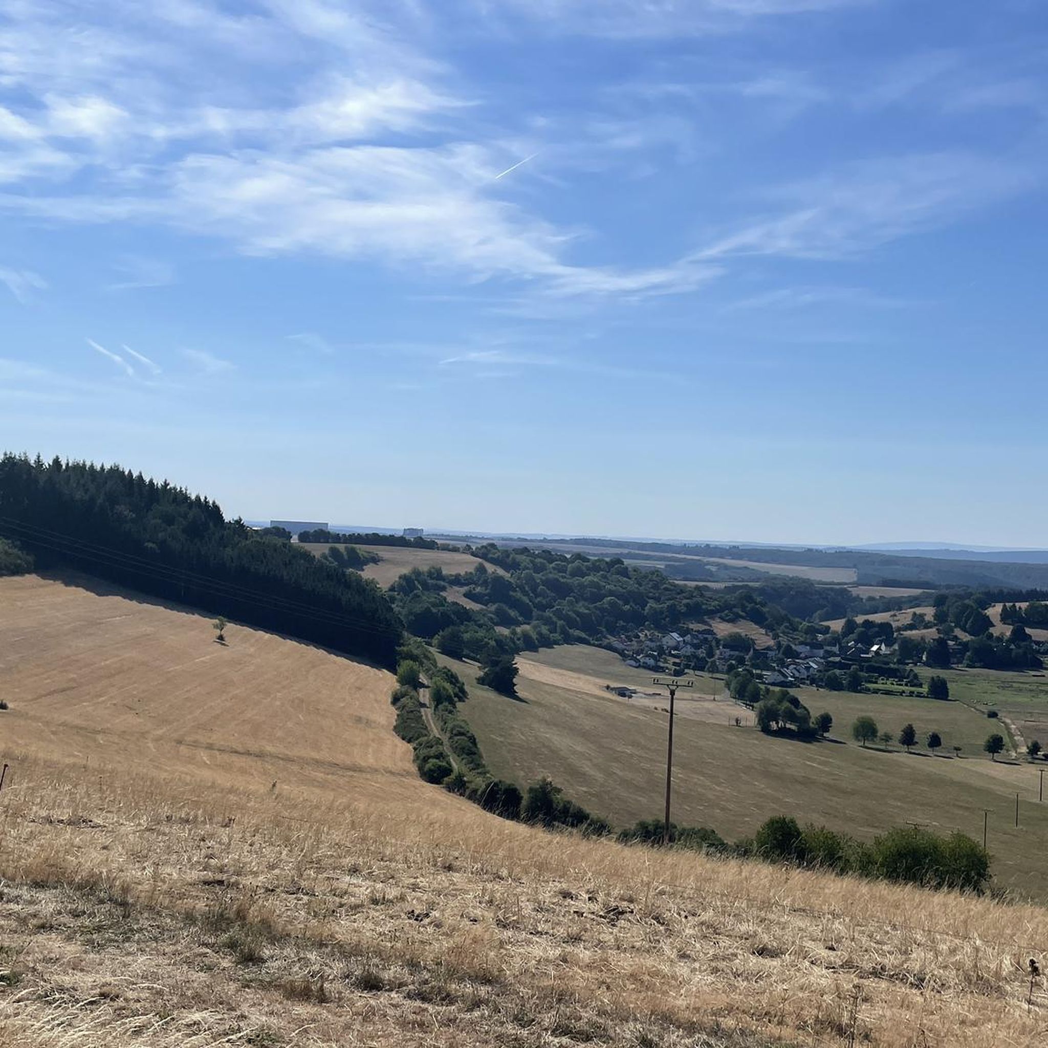
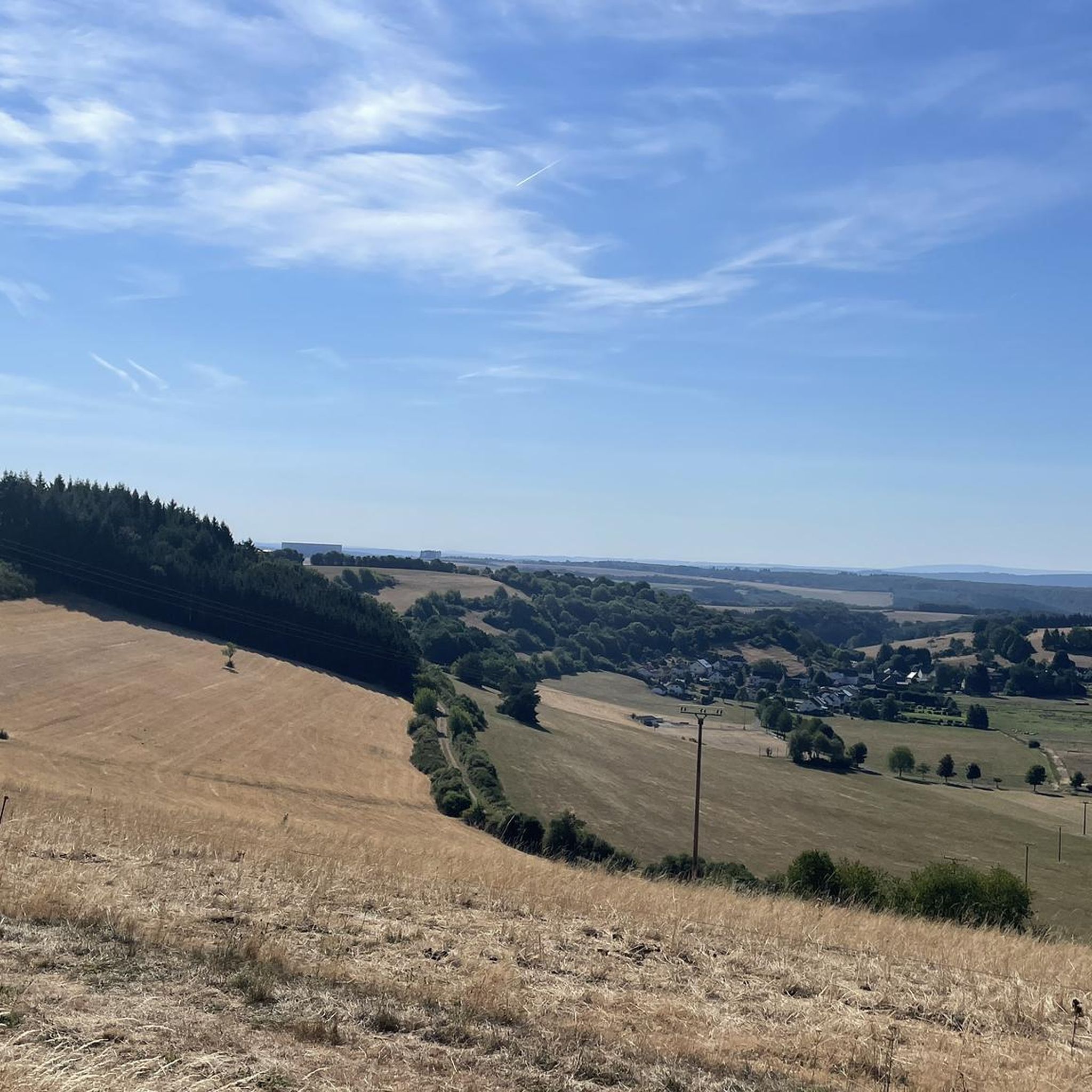
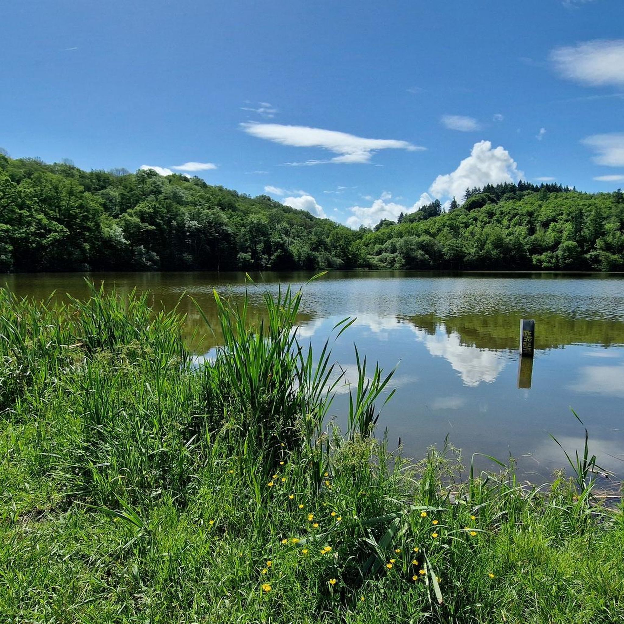
Jogging routes Immerath are set within Germany's Rhineland-Palatinate, characterized by the volcanic Eifel region. The landscape features distinctive maars, which are volcanic crater lakes, alongside a mix of hills, forests, and valleys. These geological formations provide varied terrain, from relatively flat circular paths around the maars to more undulating routes through the Eifel's natural scenery. The region offers a network of paths suitable for active exploration, catering to different fitness levels.
Best jogging routes around Immerath
- The most popular jogging…
Last updated: October 13, 2026
5.0
(8)
206
runners
22.5km
02:27
320m
320m
Hard run. Very good fitness required. Mostly paved surfaces. Suitable for all skill levels.
4.8
(9)
135
runners
8.79km
00:56
70m
80m
Moderate run. Good fitness required. Mostly paved surfaces. Suitable for all skill levels.

5.0
(6)
43
runners
4.81km
00:30
40m
50m
Easy run. Great for any fitness level. Mostly paved surfaces. Suitable for all skill levels.
5.0
(1)
32
runners
21.3km
02:15
230m
230m
Hard run. Very good fitness required. Mostly paved surfaces. Suitable for all skill levels.
5.0
(6)
13
runners
9.64km
01:02
90m
100m
Moderate run. Good fitness required. Mostly paved surfaces. Suitable for all skill levels.
Get access to more routes and recommendations from other explorers.
Already have an account?
Our route recommendations are based on thousands of hikes, rides, and runs completed by other people on komoot.
Start today with a free account
Your next adventure awaits.

Other adventures around Immerath

Tips from the Community

swimming and boating with your own inflatable boat
0
0

What a great tunnel, over 500m Video on Instagram "biketime1979"
0
0

Perfect opportunity for open water swimming. 😮💨
0
0

A very well-maintained tunnel. A highlight for the kids.
0
0

Information on the Mürmes nature reserve can be found at NABU: https://www.nabu-daun.de/wir-sichern-fl%C3%A4chen/nsg-m%C3%BCrmes/ or at: https://ellscheid-vulkaneifel.de/408/tourismus/muermes
1
0
Information about the Mürmes can be found at NABU, for example: https://www.nabu-daun.de/wir-sichern-fl%C3%A4chen/nsg-m%C3%BCrmes/
1
0

There's no swimming area here; that's on the opposite side! At this point, you'll find a Gillenfeld waterworks.
1
0

Beautiful circular path in the shade suitable for wheelchairs/strollers
0
0
Frequently Asked Questions
How many running routes are available around Immerath?
There are over 120 running routes around Immerath, offering a wide variety of options for different fitness levels and preferences. You'll find everything from easy loops to more challenging long-distance trails.
What kind of terrain can I expect on jogging routes in Immerath?
The terrain around Immerath is characterized by its unique volcanic origins in the Eifel region. You can expect a mix of relatively flat to gently undulating paths around the distinctive volcanic crater lakes (Maars), as well as more varied routes through hills, forests, and picturesque valleys. The landscape includes copper beech forests, blackthorn, and gorse bushes, providing a visually stimulating environment for your run.
Are there any easy or beginner-friendly running trails in the Immerath area?
Yes, Immerath offers several easy running routes perfect for beginners or those looking for a relaxed jog. For example, the Running loop from Ellscheid is an easy 4.8 km (3 miles) trail with minimal elevation gain, ideal for a gentle run.
Can I find circular running routes around Immerath?
Absolutely. Many of the running routes in Immerath are circular, allowing you to start and finish at the same point. The region's volcanic maars, such as the Schalkenmehrener Maar, are particularly known for their beautiful circular paths. An example is the Mürmes Nature Reserve – Mürmes Nature Reserve loop from Gillenfeld, a moderate 8.8 km (5.4 miles) loop.
Are the running trails around Immerath suitable for families or strollers?
While specific stroller-friendly routes are not always explicitly marked, the relatively flat and gently undulating paths around the Maars often provide suitable conditions for families with strollers. For example, the three-kilometer circular trail around the Immerather Maar nature reserve is generally accessible. Always check the route details on komoot for specific terrain information before heading out with a stroller.
Are dogs allowed on the jogging routes in Immerath?
Many of the natural trails and forest paths around Immerath are dog-friendly, making it a great place to run with your canine companion. However, it's always recommended to keep dogs on a leash, especially in nature reserves or near wildlife, and to respect local regulations. The diverse Eifel landscape offers plenty of space for you and your dog to enjoy a run together.
What are some scenic landmarks or natural attractions I can see while running?
The Immerath area is rich in natural beauty, primarily its distinctive volcanic Maars. You can run past the tranquil Schalkenmehrener Maar or the picturesque Pulvermaar. Other notable attractions include the Lieser Valley and the unique geological formations of the Strohner Switzerland gorge.
What's the best time of year to go jogging in Immerath?
The Eifel region around Immerath is beautiful year-round. Spring brings blooming flora, while summer offers lush green landscapes. Autumn is particularly scenic with vibrant fall colors, and the cooler temperatures are often ideal for running. Even in winter, the trails can be enjoyed, though some paths might be muddy or icy, so appropriate footwear is recommended.
How do other runners rate the trails in Immerath?
The running routes in Immerath are highly rated by the komoot community, with an average score of 4.4 stars from over 250 reviews. Runners often praise the diverse volcanic landscapes, the serene atmosphere around the Maars, and the well-maintained network of paths that cater to various skill levels.
Are there options for long-distance or more challenging runs?
Yes, Immerath offers several challenging routes for experienced runners. For instance, the Mürmesbach Moor – Schalkenmehrener Maar loop from Gillenfeld is a difficult 22.2 km (13.8 miles) trail that explores the scenic volcanic crater lakes, providing a substantial workout with significant elevation changes. Another demanding option is the View of Daun – Großes Schlitzohr Tunnel loop from Gillenfeld, also a difficult 22.1 km (13.7 miles) route.
Is parking available near the running routes?
Yes, many of the popular running routes and trailheads in the Immerath region, especially those around the Maars and in larger villages like Gillenfeld, offer designated parking areas. It's advisable to check the specific route details on komoot for information on parking availability at the starting point of your chosen trail.
Can I reach the running trails by public transport?
While public transport options exist in the wider Vulkaneifel district, direct access to every trailhead might be limited. Larger towns and villages often have bus connections. For specific routes, it's best to check local bus schedules and plan your journey in advance to see if a stop is conveniently located near your desired starting point.
Most popular attractions around Immerath

Get inspired with the komoot mobile app


Explore more
Browse the best Running Trails & Routes in other regions.
