The best running trails around La Ferté-Sur-Chiers
4.8
(14)
711
runners
74
runs
Jogging around La Ferté-Sur-Chiers offers a variety of routes through a landscape characterized by gentle river valleys, small hills, and tranquil water bodies. The region's terrain is generally mild, with modest elevation changes, making it suitable for various fitness levels. Runners can expect paths that traverse open countryside, often following the Chiers river or circling local ponds.
Best jogging routes around La Ferté-Sur-Chiers
- The most popular jogging route is Running loop from La Ferté-sur-Chiers, a 11.2 miles (18.0 km)…
Last updated: July 9, 2026
8
runners
18.0km
01:52
70m
70m
Hard run. Very good fitness required. Mostly paved surfaces. Suitable for all skill levels.
6
runners
9.49km
01:00
100m
100m
Moderate run. Good fitness required. Mostly paved surfaces. Suitable for all skill levels.

Sign up for free
5
runners
3.79km
00:24
10m
10m
Easy run. Great for any fitness level. Mostly paved surfaces. Suitable for all skill levels.
3
runners
10.1km
01:10
180m
180m
Moderate run. Good fitness required. Mostly paved surfaces. Suitable for all skill levels.
3
runners
8.87km
00:57
110m
110m
Moderate run. Good fitness required. Mostly paved surfaces. Suitable for all skill levels.
Get access to more routes and recommendations from other explorers.
Sign up for free
Already have an account?
Our route recommendations are based on thousands of hikes, rides, and runs completed by other people on komoot.
Start today with a free account
Your next adventure awaits.
Login or Signup
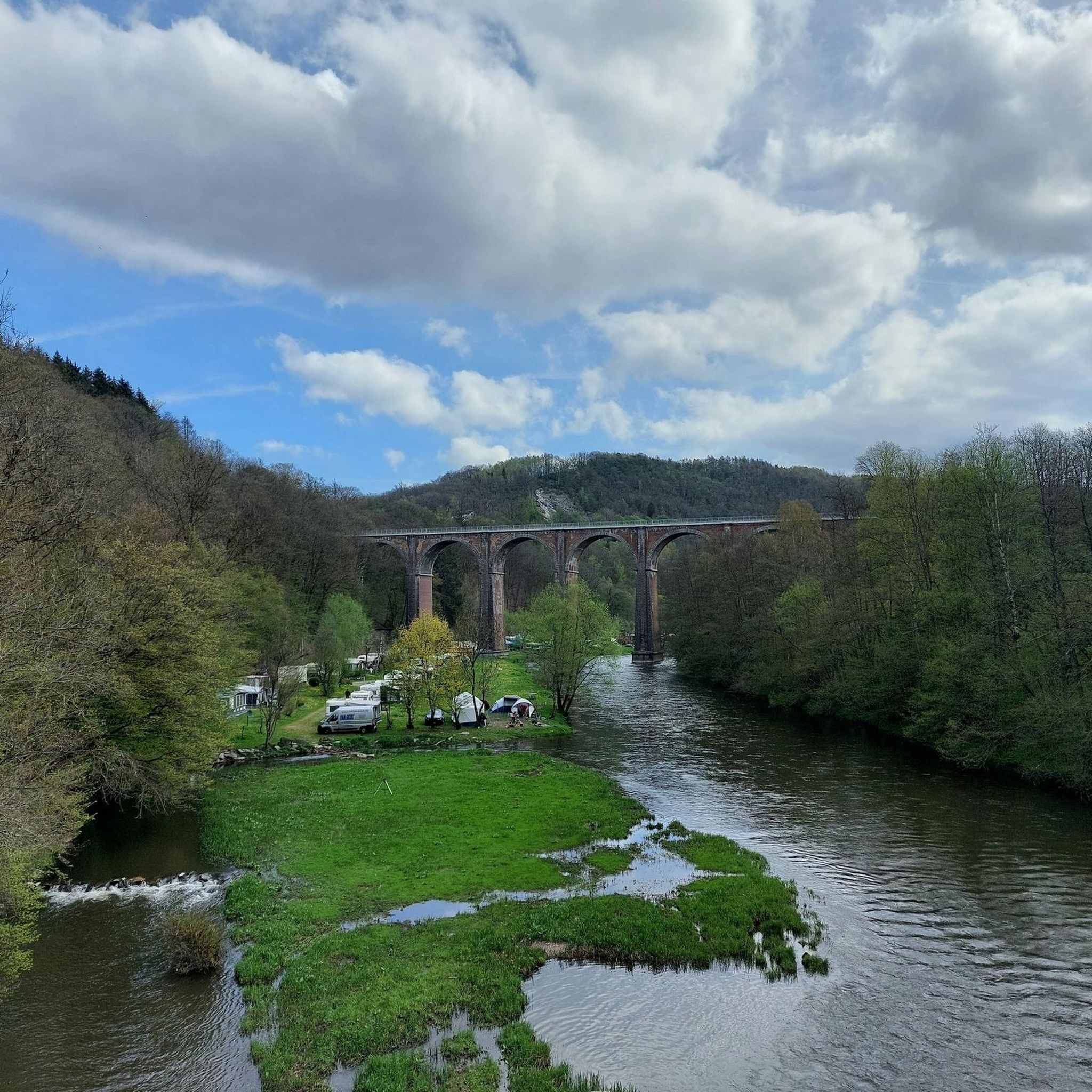

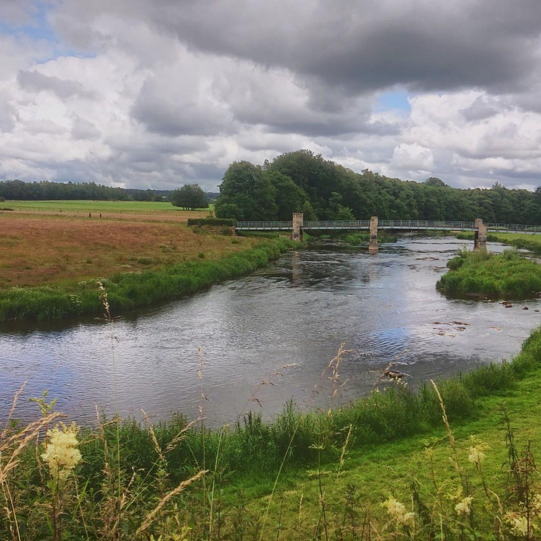

Tips from the Community

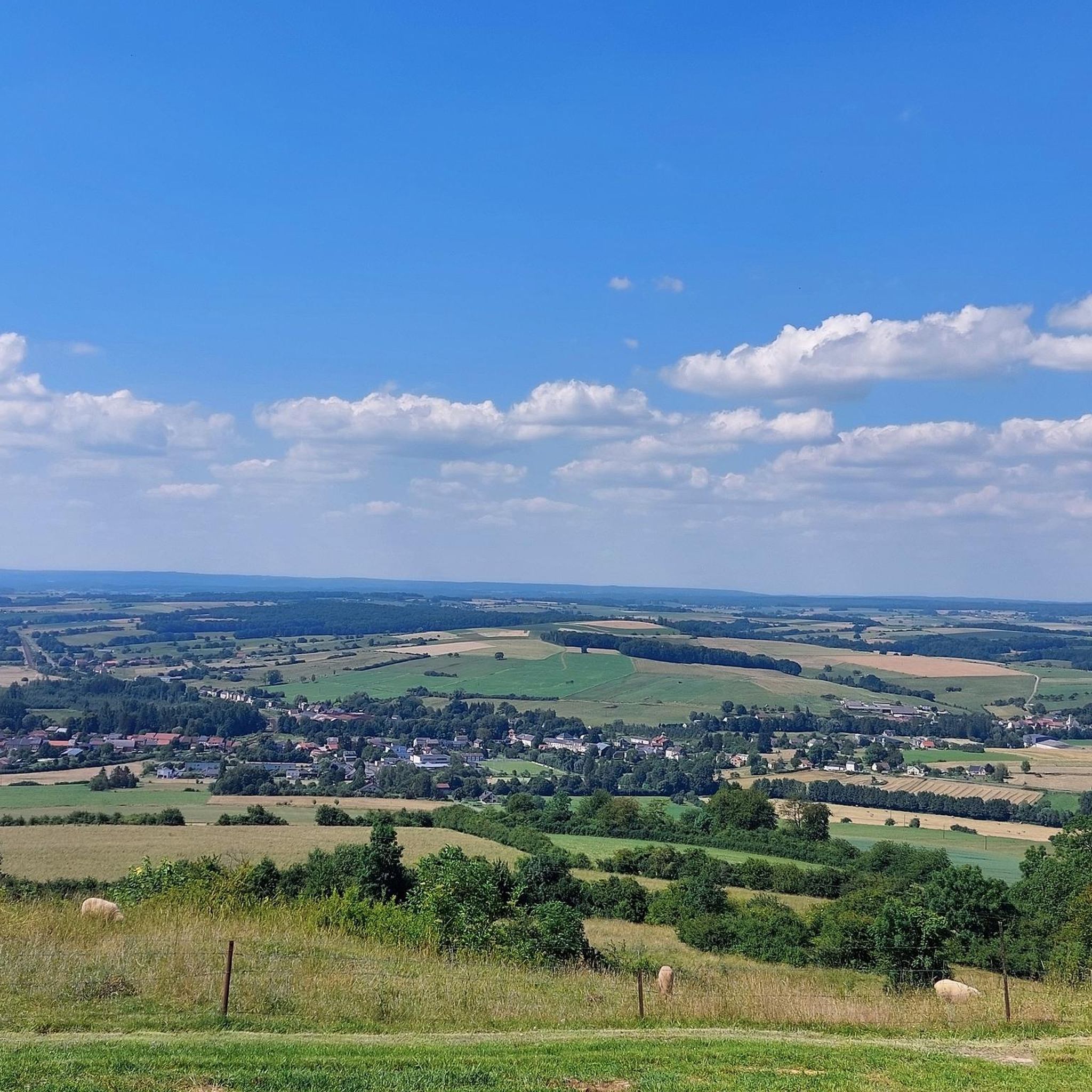
Magnificent view on a clear day. A few minutes of rest is good after this climb++
1
0

Mont Saint-Walfroy was formerly a place of pagan worship, then a hermitage of Saint Walfroy, the apostle of the Ardennes. You will appreciate the panoramic views of the Meuse valley and the surrounding forests, as well as the historical and religious importance of this place. Along the way, you will pass by the Chapelle Saint-Donat, a small chapel dedicated to a local saint.
2
0
Mont Saint-Walfroy was once a place of pagan worship, before being chosen to build the hermitage of Saint-Walfroy, the apostle of the Ardennes. You will appreciate the panoramic views of the Meuse valley and the surrounding forests, as well as the historical and religious importance of this place. Along the way, you will pass by the Chapelle Saint-Donat, a small chapel dedicated to a local saint.
3
0

Mount Saint-Walfroy or hermitage of Saint-Walfroy is a hill in the Ardennes. The summit reaches its peak at 350 meters above sea level. Almost 200 meters lower, the villages are spread out in their valleys, where the rivers meander. To reach Saint-Walfroy you have to climb steep paths. Once at the top, the panorama extends over the Maas and the Ardennes. It is a former place of pagan worship, chosen as a hermitage in the 6th century by Walfroy the Stylite and has since become a place of worship and pilgrimage. This site thus becomes a witness to the vicissitudes of the history of the French Catholic Church and the history of an Ardennes territory, in the immediate vicinity of the border. Source: https://fr.wikipedia.org/wiki/Mont_Saint-Walfroy
2
0

I was pleasantly surprised with the view after the intense climb. The decent (heading north) is quite steep in the first section.
1
0
Frequently Asked Questions
How many running routes are available around La Ferté-Sur-Chiers?
There are over 60 running routes available in and around La Ferté-Sur-Chiers, catering to various fitness levels. You'll find a good mix of easy, moderate, and difficult trails.
What are the typical difficulty levels of running trails in La Ferté-Sur-Chiers?
The majority of running trails in La Ferté-Sur-Chiers are classified as moderate, with 52 such routes. There are also 5 easy routes perfect for beginners or a relaxed jog, and 5 difficult routes for more experienced runners seeking a challenge.
Are there any easy running routes suitable for beginners in La Ferté-Sur-Chiers?
Yes, beginners can enjoy several easy running routes. A great option is the Running loop from Margut, which is just under 2.4 miles (3.8 km) long with minimal elevation gain, making it ideal for a gentle introduction to the area's trails.
What do other runners enjoy most about the trails in La Ferté-Sur-Chiers?
The running routes in La Ferté-Sur-Chiers are highly rated by the komoot community, with an average score of 4.6 stars from 14 reviews. Over 500 runners have explored the area, often praising the tranquil river paths, small hills, and serene pond-side trails that define the region's varied terrain.
Are there circular running routes around La Ferté-Sur-Chiers?
Yes, many of the running routes in the area are circular, offering convenient starting and ending points. For example, the popular Étang de la Gravière loop from Villy provides a scenic 4.4 miles (7.1 km) circuit around the pond.
Can I find family-friendly running trails in the La Ferté-Sur-Chiers region?
Absolutely. The region's generally mild terrain with modest elevation changes makes many routes suitable for families. Look for the 'easy' graded routes, such as the Running loop from Margut, which are shorter and less demanding.
Are the running trails around La Ferté-Sur-Chiers suitable for dogs?
Most trails in the La Ferté-Sur-Chiers area are dog-friendly, especially those traversing open countryside and river paths. It's always a good idea to keep your dog on a leash, especially near agricultural areas or wildlife, and to carry water for both of you.
What are the typical lengths of running routes near La Ferté-Sur-Chiers?
Running routes in the area vary significantly in length. You can find shorter options like the Running loop from Margut at 2.4 miles (3.8 km), to longer, more challenging runs such as the Running loop from La Ferté-sur-Chiers, which covers 11.2 miles (18.0 km).
Are there any running routes with good viewpoints in the area?
Yes, for scenic views, consider routes that pass by or ascend to elevated points. The Mont Saint-Walfroy – Mont Saint-Walfroy loop from Margut offers varied scenery with gentle climbs around the Mont Saint-Walfroy area, which is also a notable viewpoint.
What can I see along the jogging routes around La Ferté-Sur-Chiers?
Beyond the natural beauty of river valleys and ponds, you can encounter several interesting landmarks. Routes near Mont Saint-Walfroy might offer views of the Mont Saint-Walfroy itself. Other nearby attractions include the historic Orval Abbey and the impressive Citadel of Montmédy, though these may require a slight detour from direct running paths.
Is parking available near the running trails in La Ferté-Sur-Chiers?
Yes, parking is generally available in the villages and towns that serve as starting points for many of the running routes, such as La Ferté-sur-Chiers, Margut, and Villy. Look for designated parking areas or street parking in these locations.
What is the best time of year for running in La Ferté-Sur-Chiers?
The region is pleasant for running throughout much of the year. Spring and autumn offer mild temperatures and beautiful scenery with blooming flowers or vibrant foliage. Summer is also suitable, especially in the mornings or evenings, while winter running is possible on cleared paths, though some trails might be muddy or icy.
Are there cafes or places to refuel near the running routes?
Yes, the villages and towns where many routes begin, such as La Ferté-sur-Chiers, Margut, and Villy, typically have local cafes, bakeries, or small shops where you can grab a drink or a snack before or after your run.
Most popular routes around La Ferté-Sur-Chiers
Most popular attractions around La Ferté-Sur-Chiers

Get inspired with the komoot mobile app


Explore more
Browse the best Running Trails & Routes in other regions.
