The best road cycling routes around Taillette
4.7
(18)
796
riders
95
rides
Road cycling routes around Taillette traverse a region characterized by dense forests, winding rivers like the Meuse, and varied terrain. The landscape includes notable natural viewpoints and offers a mix of challenging ascents and scenic paths. This area, part of the Ardennes, provides diverse conditions for road cyclists seeking both demanding climbs and picturesque rides through a rich natural environment.
Best road cycling routes around Taillette
- The most popular road cycling route is Revin Bike Tunnel – Fumay loop from…
Last updated: October 13, 2026
32
riders
40.2km
02:00
410m
410m
Moderate road ride. Good fitness required. Mostly well-paved surfaces and easy to ride.
21
riders
40.0km
01:53
400m
400m
Moderate road ride. Good fitness required. Mostly well-paved surfaces and easy to ride.

5.0
(1)
17
riders
37.3km
01:45
380m
380m
Moderate road ride. Good fitness required. Mostly well-paved surfaces and easy to ride.
4.0
(1)
30
riders
48.1km
02:09
340m
340m
Moderate road ride. Good fitness required. Mostly well-paved surfaces and easy to ride.
12
riders
28.2km
01:18
280m
280m
Moderate road ride. Great for any fitness level. Some segments of this route may be unpaved and difficult to ride.
Get access to more routes and recommendations from other explorers.
Already have an account?
Our route recommendations are based on thousands of hikes, rides, and runs completed by other people on komoot.
Start today with a free account
Your next adventure awaits.
Tips from the Community

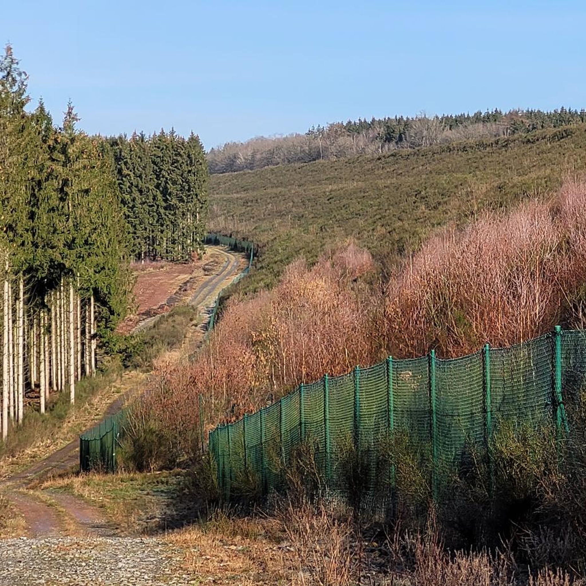
Country road with very little to no traffic
0
0

Despite the road's width, there's little traffic here, making it a fantastic ride, especially downhill. The nature on both sides of the route is also worth seeing.
0
0

The Eau Noire crosses the city. Lined with walking paths, it is ideal for leisurely strolls. Outside the city, its course crosses wooded areas and green meadows.
1
0
The Grand Pont in Couvin is a historic stone bridge dating from the 19th century. It spans the Eau Noire and offers a picturesque view of the river and the town center of Couvin. This bridge is an ideal starting point for walks along the Eau Noire and in the charming streets of Couvin. The architecture of the bridge, with its elegant arches, is emblematic of the local heritage.
1
0


The site of the Brûly-de-Pesche War Memorial was Adolf Hitler's headquarters for 22 days in June 1940, during the second phase of the Battle of France. You can discover the bunker, the chalets and the museum which commemorate the resistance and daily life under occupation. The site is surrounded by a forest and offers several trails of different levels of difficulty. You can also enjoy the natural beauty of the area and the proximity to the Saint Meen Spring, which is said to cure skin problems. This hike is a great way to learn about WWII history and appreciate the nature of the Ardennes.
4
1

Before the pipeline work, the Eau Noire was divided into two arms separated by three islets and their mill. On the islets some practiced archery or even some grew vegetables with the agreement of the Prince Bishop of Liège.
1
0
The bridge was originally a culvert which was rebuilt with stones in 1780 to allow the development of the Faubourg de la Marcelle by opening the axis from north to south. The marcelle was the place which demarcated the city.
0
0
Frequently Asked Questions
How many road cycling routes are available around Taillette?
There are over 100 road cycling routes around Taillette, offering a wide range of options for different skill levels. This includes 22 easy routes, 64 moderate routes, and 14 routes considered difficult.
What kind of terrain can I expect when road cycling near Taillette?
The region around Taillette is characterized by diverse terrain, including dense forests, winding roads along the Meuse River, and notable natural viewpoints. You can expect a mix of challenging ascents, particularly when heading towards panoramic spots like the Viewpoint over Revin, and picturesque routes through varied landscapes.
Are there any easy or family-friendly road cycling routes in Taillette?
Yes, Taillette offers 22 easy road cycling routes, many of which are suitable for families or those seeking a more relaxed ride. These routes often feature gentler gradients and pass through scenic, less demanding areas of the forests and countryside.
What are some of the most scenic viewpoints accessible by road bike near Taillette?
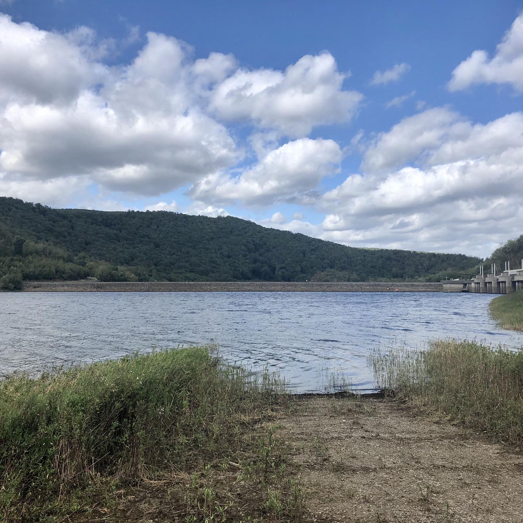
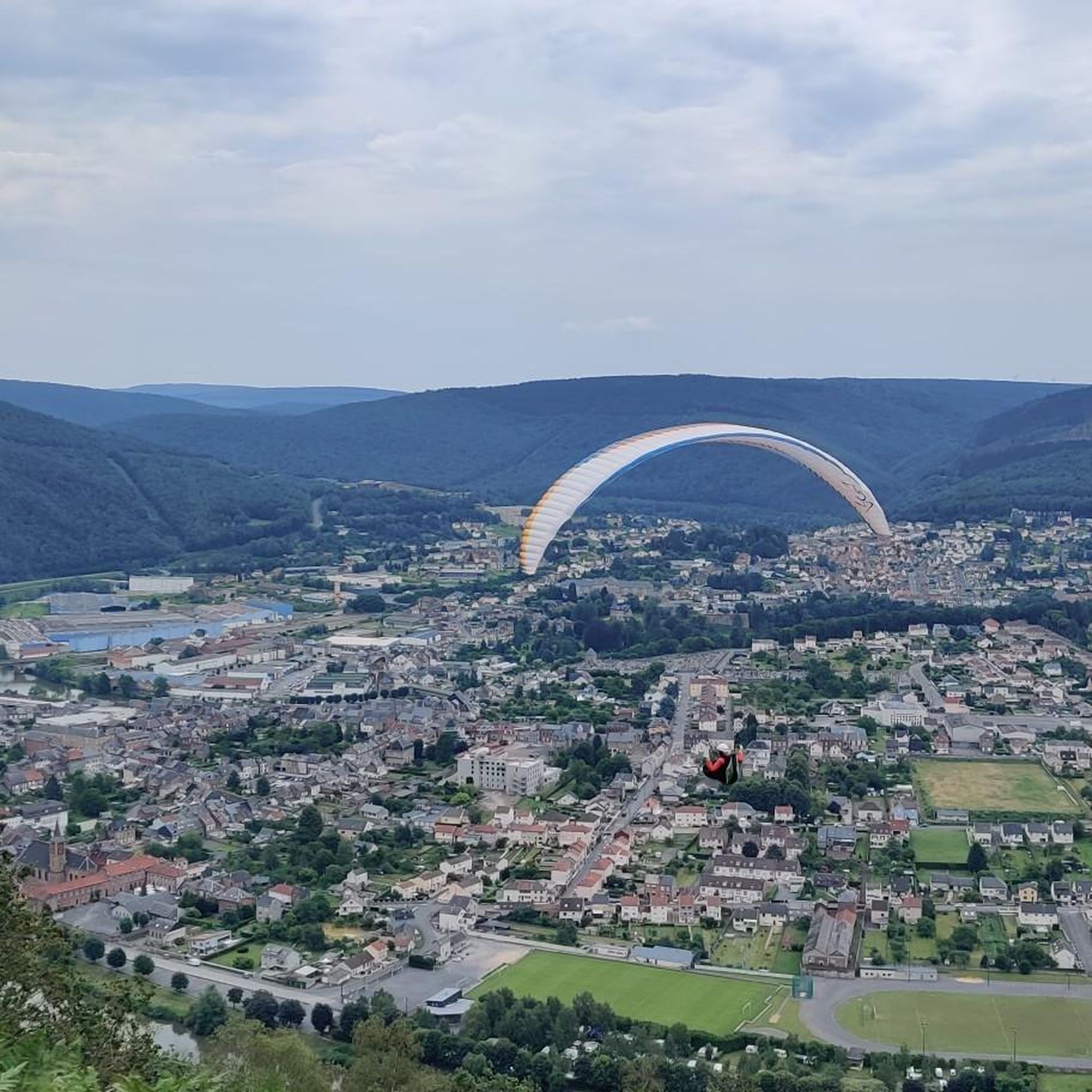
Road cyclists can enjoy several scenic viewpoints. A notable one is the Viewpoint over Revin and the Meuse Valley, which offers exceptional panoramas of the town of Revin and the river's bends. Routes around the Ry de Rome Dam also provide beautiful views of the water and surrounding forests.
Are there any challenging road cycling routes for experienced riders?
Yes, for experienced riders seeking a challenge, Taillette offers 14 difficult routes with significant elevation gain. These routes often include demanding climbs, such as those leading to elevated viewpoints, providing rewarding vistas after strenuous efforts. An example of a moderate route with notable elevation is the View of Ry de Rome Reservoir – Ry de Rome Dam loop from Regniowez, which features over 550 meters of ascent.
What natural features can I see along the road cycling routes?
Road cycling routes in Taillette often pass through dense forests and along the scenic Meuse River. You can also encounter beautiful lakes like Vieilles-Forges Lake, which is surrounded by forests and meadows, and the impressive Ry de Rome Dam.
What do other road cyclists say about the routes in Taillette?
The road cycling routes in Taillette are highly rated by the komoot community, with an average score of 4.7 stars from over 20 reviews. Cyclists often praise the varied terrain, the beauty of the dense forests, and the picturesque views along the Meuse River.
Are there any loop road cycling routes around Taillette?
Yes, many of the road cycling routes around Taillette are loops, making them convenient for starting and ending at the same point. Examples include the Grand Pont Hill loop from Regniowez and the Grand Pont Hill loop from Petite-Chapelle, both offering scenic circular rides.
What is the best season for road cycling in Taillette?
The best season for road cycling in Taillette is typically from spring to autumn. During these months, the weather is generally more favorable, and the natural landscapes, especially the forests and river valleys, are at their most vibrant. Summer offers shaded routes through the dense forests, while spring and autumn provide cooler temperatures and beautiful foliage.
Are there any historical or cultural points of interest along the cycling routes?
While the region is primarily known for its natural beauty, some routes may pass near historical points. For instance, the Grand Pont Hill – The Rigory Mill loop from Regniowez leads through dense forests and past historical points. The wider Ardennes region also features unique sites like the star-shaped fortified town of Rocroi, which could be integrated into longer tours.
Where can I find more information about the Ardennes Regional Natural Park?
Taillette is located within the broader Ardennes region, which includes the Ardennes Regional Natural Park. For more information about the park's natural heritage and diverse habitats, you can visit the Visit Ardenne website.
Most popular attractions around Taillette

Get inspired with the komoot mobile app


Explore more
Browse the best Road cycling routes in other regions.
