The best mountain hikes around Kruchten
4.7
(84)
173
hikers
14
hikes
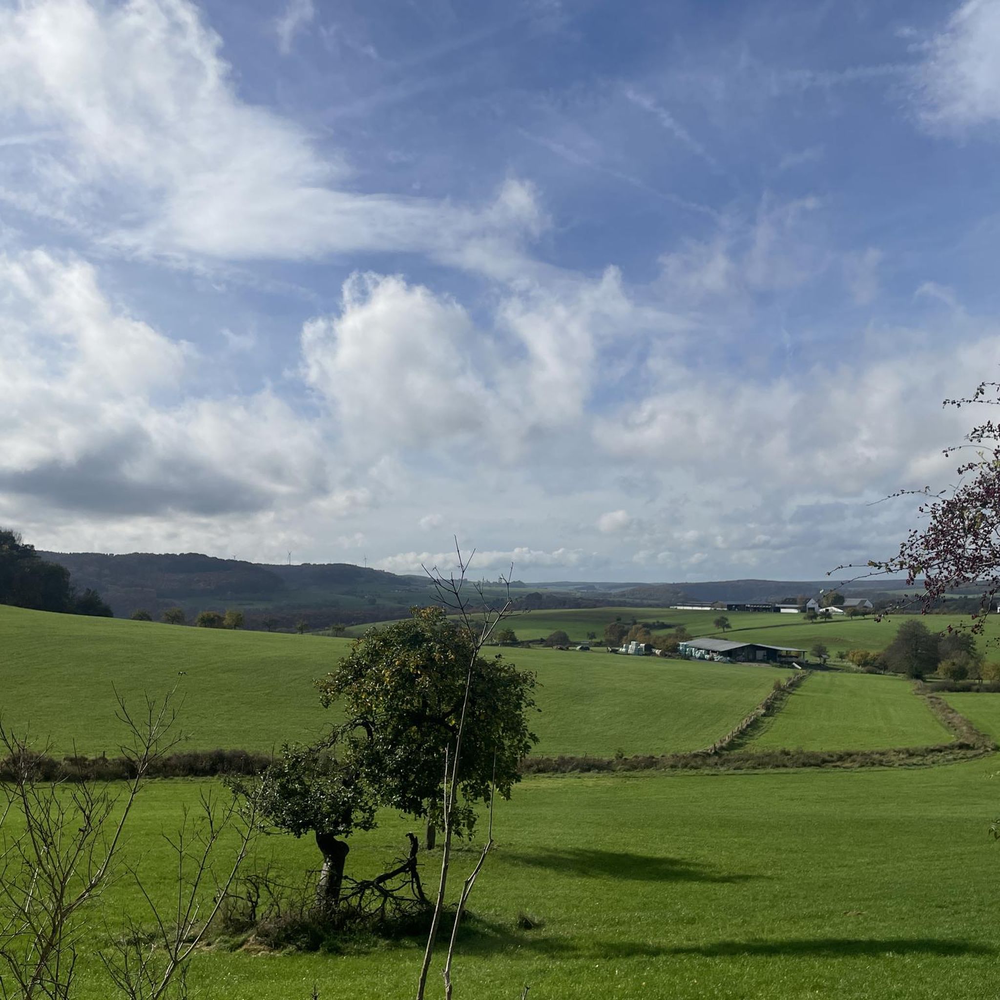
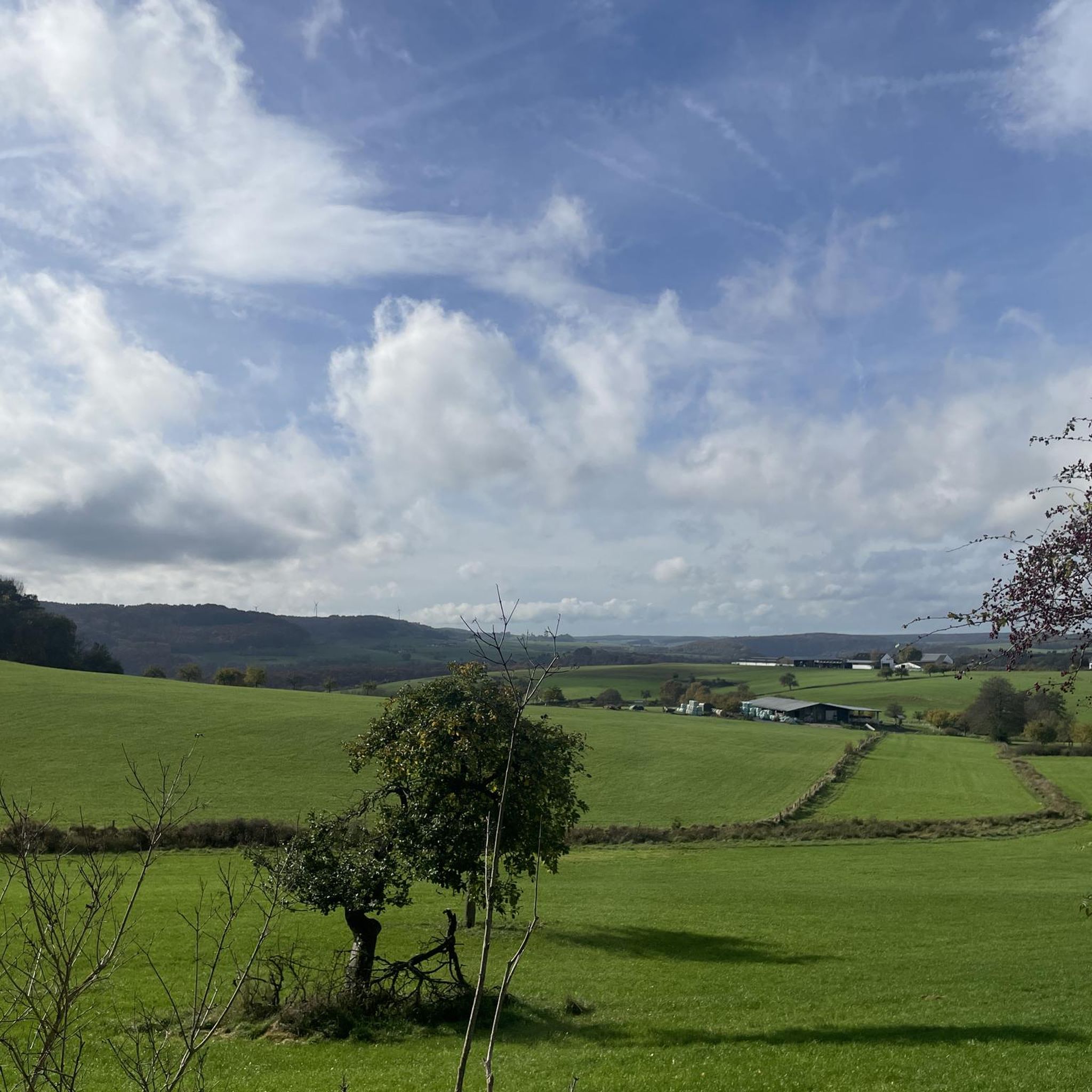
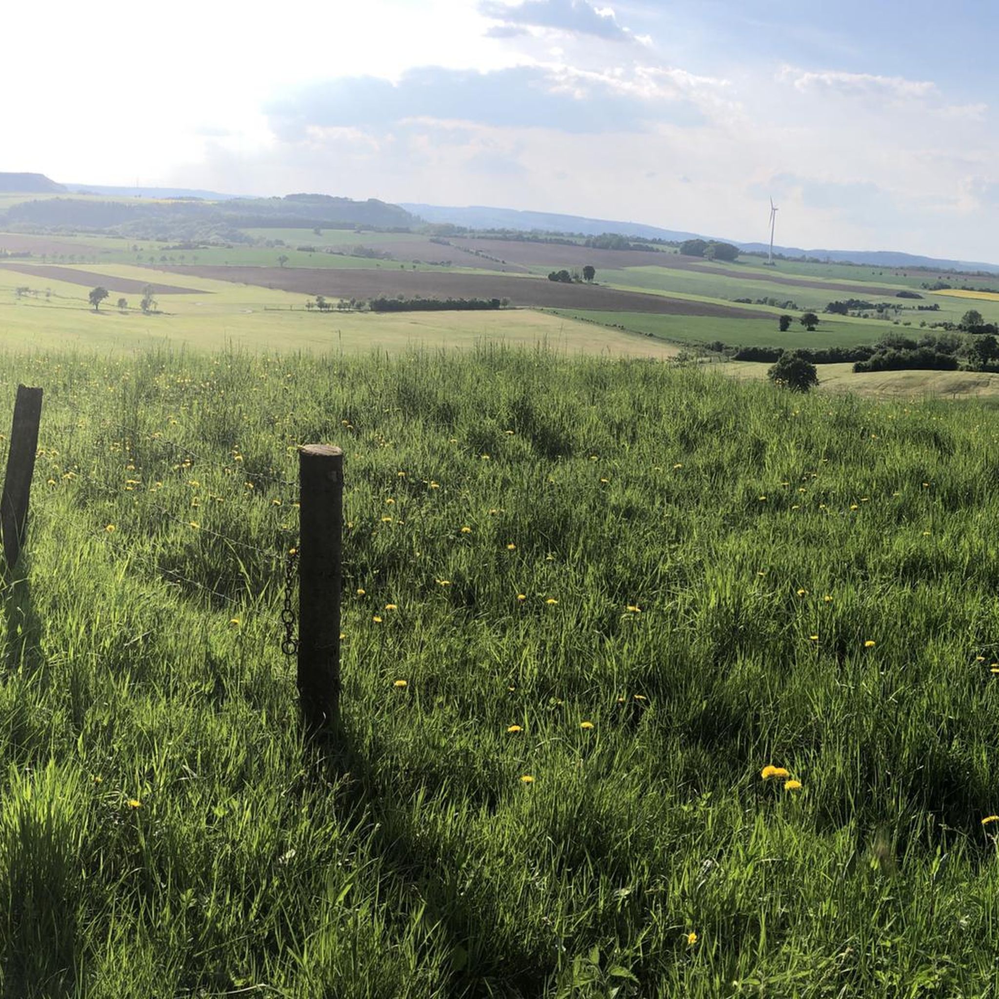
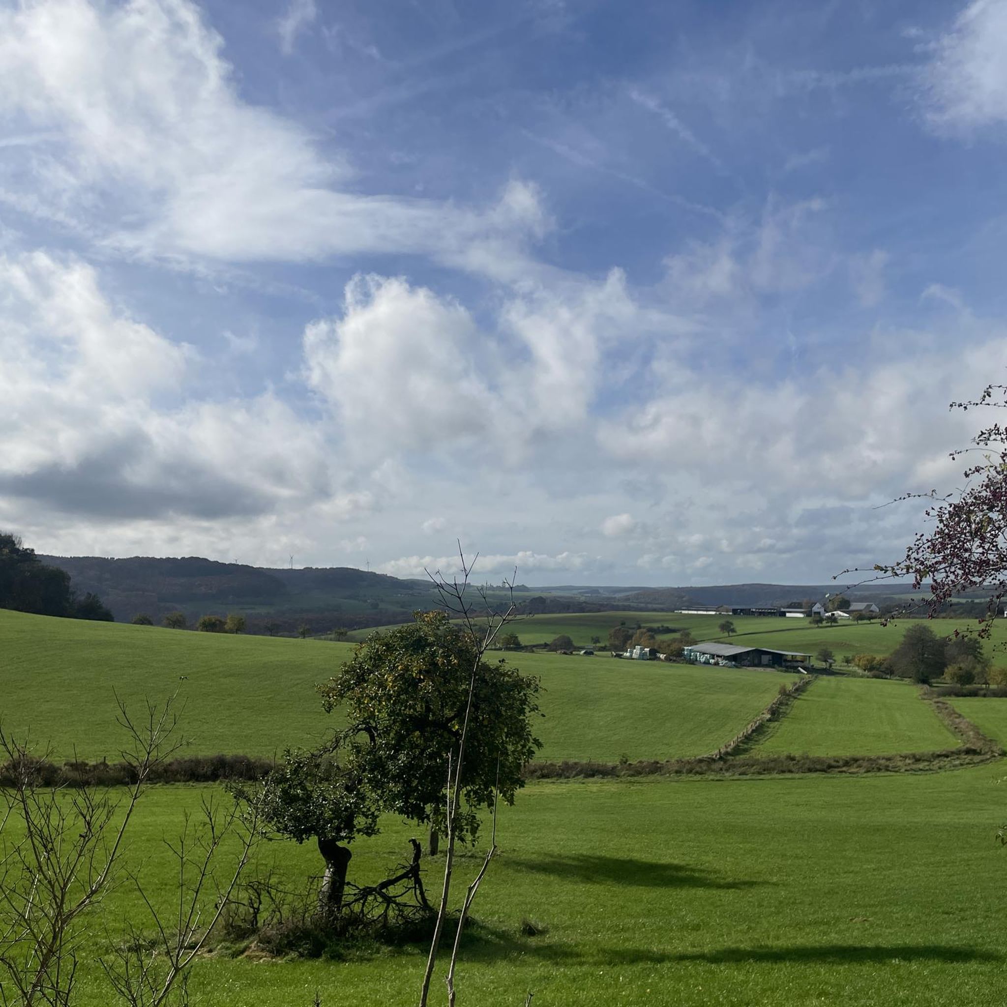
Mountaineering routes around Kruchten are primarily found within the nearby Mullerthal Region, often referred to as "Luxembourg's Little Switzerland." This area is characterized by distinctive sandstone rock formations, narrow rocky ravines, and deep gorges carved over millennia. The terrain features moss-covered forests and stream valleys, offering varied and challenging paths for outdoor enthusiasts. While not high-altitude mountaineering, the landscape provides a unique environment for adventurous activities on its extensive network of trails.
Best mountaineering routes around Kruchten
- The most popular mountaineering route is Huel Lee (Hohllay Cave) – Labyrinth Rock Formations loop from Berdorf, a 10.1 miles (16.2 km) trail that takes about 4 hours 32 minutes to complete. This route navigates through the region's iconic rock formations and dense woodlands.
- Another top favourite among local mountaineers is Labyrinth Rock Formations – Huel Lee (Hohllay Cave) loop from Berdorf, a difficult 12.9 miles (20.8 km) path. This longer route offers an extended exploration of the dramatic sandstone landscape and challenging ascents.
- Local mountaineers also love the The gorge – View from the Adlerhorst Cliff loop from Berdorf, a 3.0 miles (4.8 km) trail leading through a scenic gorge, often completed in about 1 hour 25 minutes.
- Mountaineering around Kruchten is defined by surreal sandstone rock formations, challenging forest paths, and deep stream valleys. The network offers options for various ability levels, from moderate excursions to more difficult, longer routes.
- The routes in Kruchten are highly rated by the komoot community with an average score of 4.7 stars from over 70 reviews. More than 160 mountaineers have used komoot to explore Kruchten's varied terrain.
Last updated: June 26, 2026
4.8
(15)
42
hikers
16.1km
04:31
310m
310m
Moderate mountaineering route. Good fitness required. Easily-accessible paths. Suitable for all skill levels.
4.8
(16)
24
hikers
4.64km
01:23
70m
70m
Moderate mountaineering route. Great for any fitness level. Mostly accessible paths. Sure-footedness required.

Sign up for free
4.0
(5)
10
hikers
20.8km
05:55
380m
380m
Hard mountaineering route. Very good fitness required. Mostly accessible paths. Sure-footedness required.
4.9
(7)
14
hikers
Moderate mountaineering route. Good fitness required. Mostly accessible paths. Sure-footedness required.
5.0
(2)
6
hikers
6.23km
01:46
80m
80m
Moderate mountaineering route. Great for any fitness level. Mostly accessible paths. Sure-footedness required.
Get access to more routes and recommendations from other explorers.
Sign up for free
Already have an account?
Our route recommendations are based on thousands of hikes, rides, and runs completed by other people on komoot.
Start today with a free account
Your next adventure awaits.
Login or Signup

Tips from the Community

At some moments it can get very busy here.
0
0

Small parking lot right on a busy road. Optimal entry - but only approx. 5 car parking spaces.
0
0
Rocks and rock labyrinths can be found in abundance in the Müllerthal region.
0
0

A good tip for other komoot users might be to visit this highlight early in the morning or later in the afternoon, when it's quieter and the light is better for photos. https://www.servicechannel.com.co
0
0

Interesting tour through the countryside
0
0

After the narrow gorges, the view opens up at the top of the plateau over the Black Ernz valley. Pines grow on the sandy soils at the plateau's edge, while beech trees grow on the sandy-loam slope below. The shallower lower slopes are made of marl, a mixture of clay minerals and limestone, and are generally used for grassland. This demonstrates the dependence of the vegetation on the geological subsurface. On a designated section of the rock faces is the only climbing area in the sandstone landscape, where climbing is permitted only for members of recognized climbing associations. The rocks can be explored on the 4.2 km local circular route B2. This route is also part of the "NaturWanderPark deluxe" and the Eifel-Ardennes trail. The trail is also signposted as the Wanterbaach-Siweschloeff nature discovery route. Walk: B2 (4.2 km) Nearest bus stop: Berdorf, Duerfplaz (1.8 km)
0
0
The area along the Wanterbaach-Siweschlëff nature trail in Berdorf is one of the most impressive parts of the Luxembourg sandstone landscape. A massive sandstone formation lies here on clayey marl. Deep vertical fissures divide the sandstone into tall towers. At the edge of the plateau, some sandstone towers have separated from the rock faces and slid or tilted onto the smooth clayey marl layer, creating narrow rocky passages (Schlëffe). Siweschlëff means "seven gorges" and refers to a rocky labyrinth of such passages: between the sandstone towers, seven gorges, up to almost 30 centimeters wide and up to 20 meters deep, have formed. A path leads through the narrow and gloomy passages. Here, a special cool-humid microclimate has developed, allowing the mosses and ferns for which the region is famous to thrive.
0
0
Frequently Asked Questions
What makes mountaineering around Kruchten unique?
Mountaineering around Kruchten is unique due to its location within the Mullerthal Region, often called "Luxembourg's Little Switzerland." This area is famous for its surreal sandstone rock formations, narrow rocky ravines, and deep gorges. You'll navigate challenging paths through moss-covered forests and enchanted stream valleys, offering a distinct experience compared to high-altitude mountaineering.
Are there any easy mountaineering routes for beginners or families?
Yes, while many routes offer challenging terrain, there are options suitable for beginners. For instance, the area features 1 easy route and 9 moderate routes. While specific 'easy' routes aren't highlighted in the top picks, routes like The gorge – View from the Adlerhorst Cliff loop from Berdorf, at 3.0 miles (4.8 km), offer a more manageable experience through a scenic gorge.
What kind of rock formations can I expect to see on the trails?
The Mullerthal Region is renowned for its spectacular and surreal rock formations carved from sandstone. Trails often wind through towering sandstone cliffs, narrow rocky ravines, and mysterious caves and gorges. You'll encounter features like the Huel Lee (Hohllay Cave) and various labyrinthine rock formations, which are central to many routes, such as the popular Huel Lee (Hohllay Cave) – Labyrinth Rock Formations loop from Berdorf.
Are there any circular mountaineering routes in the area?
Yes, many of the mountaineering routes around Kruchten are designed as circular loops, allowing you to start and end at the same point. Examples include the Huel Lee (Hohllay Cave) – Labyrinth Rock Formations loop from Berdorf and The Overlook – The gorge loop from Bollendorf, providing convenient exploration of the region's natural beauty.
What are some challenging mountaineering routes for experienced hikers?
For experienced mountaineers seeking a challenge, the region offers several difficult routes. A notable option is the Labyrinth Rock Formations – Huel Lee (Hohllay Cave) loop from Berdorf. This 12.9 miles (20.8 km) path is classified as difficult and provides an extended exploration of the dramatic sandstone landscape with challenging ascents and varied terrain.
What are the best times of year to go mountaineering near Kruchten?
The Mullerthal region offers rewarding experiences year-round. Spring and autumn are particularly popular for their mild temperatures and vibrant foliage. The crag's forest setting provides shade, making it a viable climbing destination year-round, except after prolonged rain. However, the varied terrain with uneven stone and soft earth means steady legs are always required.
Are there any waterfalls or gorges to explore along the routes?
Absolutely! The region is rich in natural water features and dramatic gorges. You can explore highlights like the Irrel Waterfalls, Hallerbach Waterfalls, and the picturesque Haupeschbach Valley or Aesbach Gorge. Many routes incorporate these stunning natural elements into their paths.
What do other mountaineers say about the routes around Kruchten?
The routes in Kruchten are highly rated by the komoot community, with an impressive average score of 4.7 stars from over 70 reviews. More than 160 mountaineers have used komoot to explore the varied terrain, often praising the surreal rock formations, challenging forest paths, and deep stream valleys that define the area's unique character.
Can I find historical landmarks or castles near the mountaineering trails?
Yes, the region around Kruchten also offers historical attractions. You can visit impressive structures like Beaufort Castle (medieval ruins) or the magnificent Vianden Castle. These sites provide a cultural counterpoint to the natural beauty of the mountaineering trails.
Is there rock climbing available in the Mullerthal Region?
While the guide focuses on mountaineering-like hikes, the Mullerthal Region is also a premier spot for rock climbing. Berdorf, located near Echternach, offers approximately 150 single-pitch routes on hard, compact sandstone crags at Wanterbaach. These routes range from F2 to F8c, providing a variety of styles for climbers.
Are there any less-known or 'hidden gem' routes worth exploring?
While specific 'hidden gems' are subjective, exploring some of the less-trafficked moderate routes can offer a more secluded experience. For example, the Predigtstuhl (Preacher's Chair) rock formation – Binzeltschlüff loop from Berdorf is a moderate 3.9-mile (6.3 km) route that takes you through distinctive rock formations and offers a rewarding, perhaps quieter, adventure.
Most popular attractions around Kruchten

Get inspired with the komoot mobile app


Explore more
Browse the best Mountain Hikes & Routes in other regions.
