The best mountain hikes around Irrel
4.7
(105)
234
hikers
15
hikes
Mountaineering routes around Irrel are characterized by the region's distinctive rocky landscapes, dense woodlands, and deep gorges. The area, part of the Eifelkreis Bitburg-Prüm, features unique geological formations including labyrinthine rock passages and notable caves. These natural features create varied terrain suitable for mountaineering, with routes often winding through forested valleys and along elevated ridges. The elevation changes are moderate, offering engaging challenges for different skill levels.
Best mountaineering routes around Irrel
- The most popular mountaineering route is Huel Lee…
Last updated: October 12, 2026
4.8
(17)
47
hikers
16.2km
04:32
310m
310m
Moderate mountaineering route. Good fitness required. Easily-accessible paths. Suitable for all skill levels.
4.6
(17)
41
hikers
13.7km
03:50
250m
250m
Moderate mountaineering route. Good fitness required. Easily-accessible paths. Suitable for all skill levels.

4.8
(18)
28
hikers
4.64km
01:23
70m
70m
Moderate mountaineering route. Great for any fitness level. Mostly accessible paths. Sure-footedness required.
5.0
(6)
14
hikers
7.42km
02:18
190m
190m
Moderate mountaineering route. Good fitness required. Mostly accessible paths. Sure-footedness required.
4.7
(3)
13
hikers
19.8km
05:47
420m
420m
Hard mountaineering route. Very good fitness required. Mostly accessible paths. Sure-footedness required.
Get access to more routes and recommendations from other explorers.
Already have an account?
Our route recommendations are based on thousands of hikes, rides, and runs completed by other people on komoot.
Start today with a free account
Your next adventure awaits.
Tips from the Community

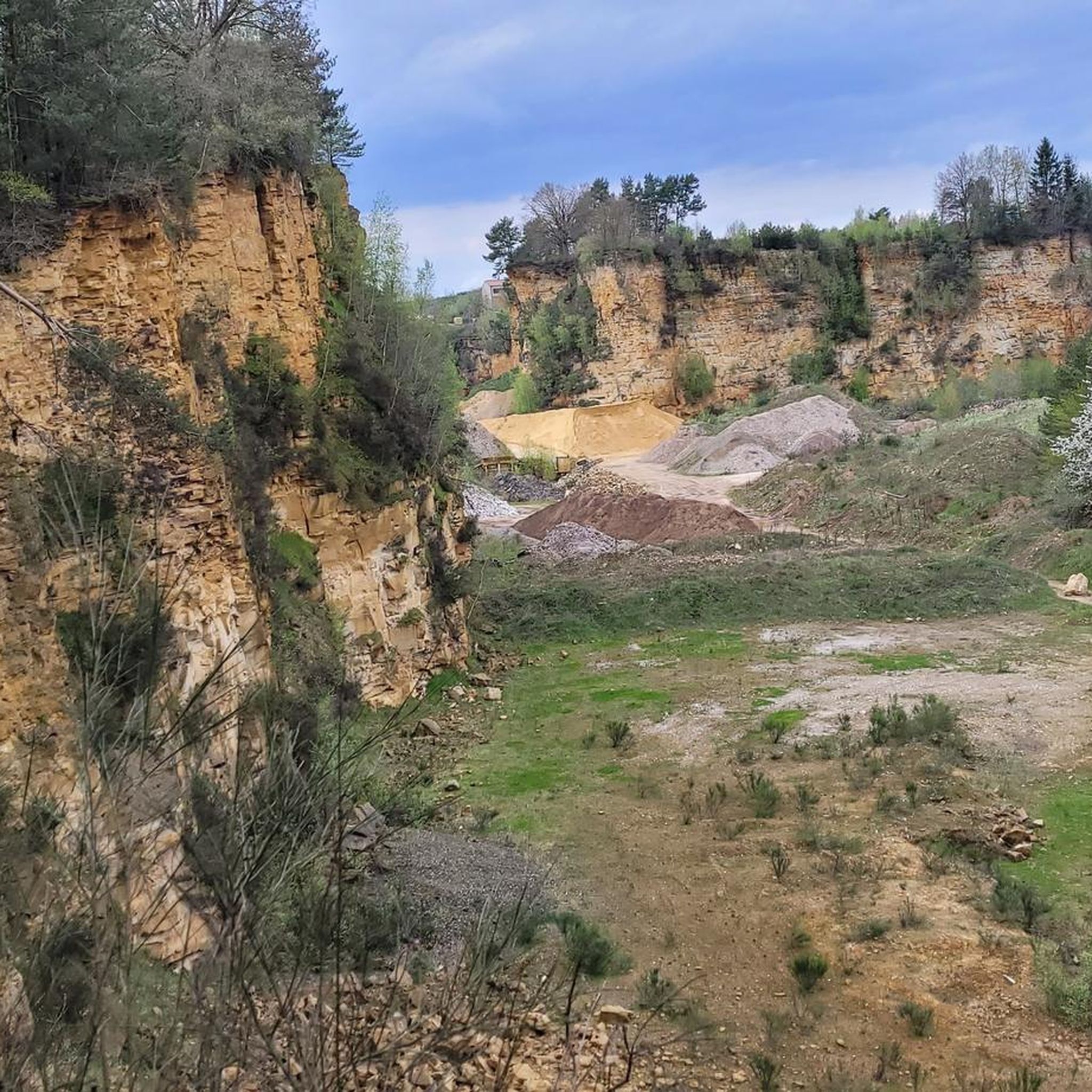
The amphitheater "Breechkaul" was established in 1979 in a rock hollowed out in the Middle Ages for the extraction of millstones. In summer, well-attended concerts of all kinds are held there. Known and loved far beyond the borders is the "Berdorfer Hubertusmesse" (Haupeschmass) on the first Sunday after November 2nd at 10:45 AM. (Regio Mullerthal)
4
0
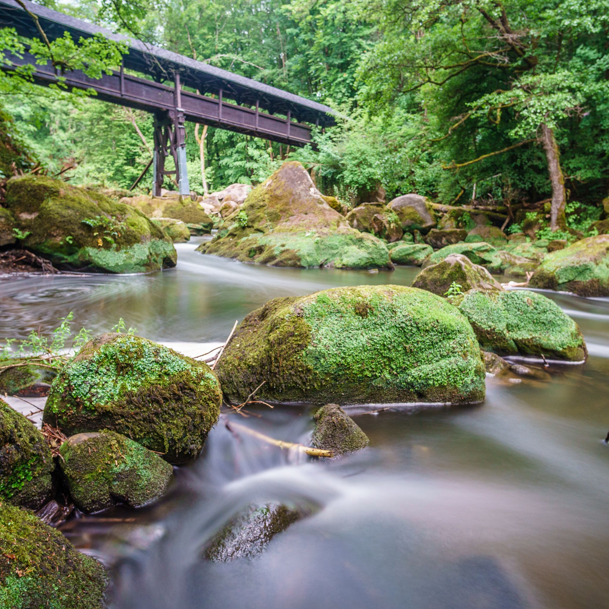
The original wooden structure was washed away by heavy floods in June 2018. A new, flood-safe bridge of approximately 38 meters has now been installed.
4
0
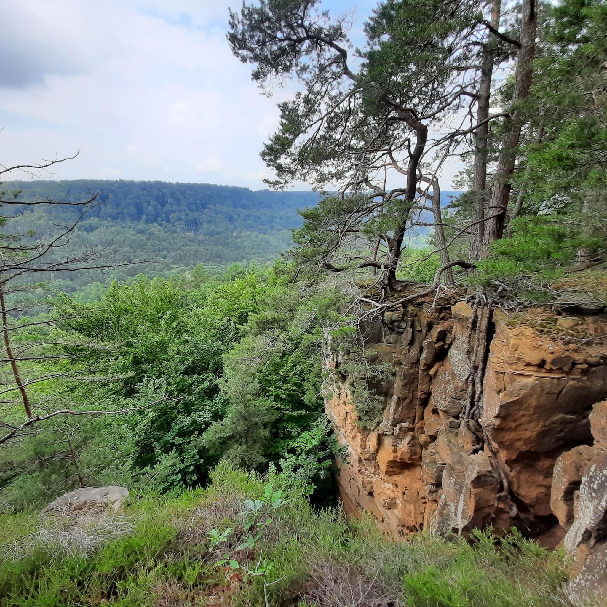
Viewpoint, but with the vegetation in late summer there is not much to see.
7
0
On this part of the rock faces is the only climbing area in the sandstone landscape. Climbing is only permitted for members of recognized climbing associations.
6
0
The romantic gorge of the Ruetsbech will not be easily forgotten. Incredibly beautiful and also a bit mysterious. Enjoy it.
7
0

Beautiful small stone towers that hikers leave there.
0
0

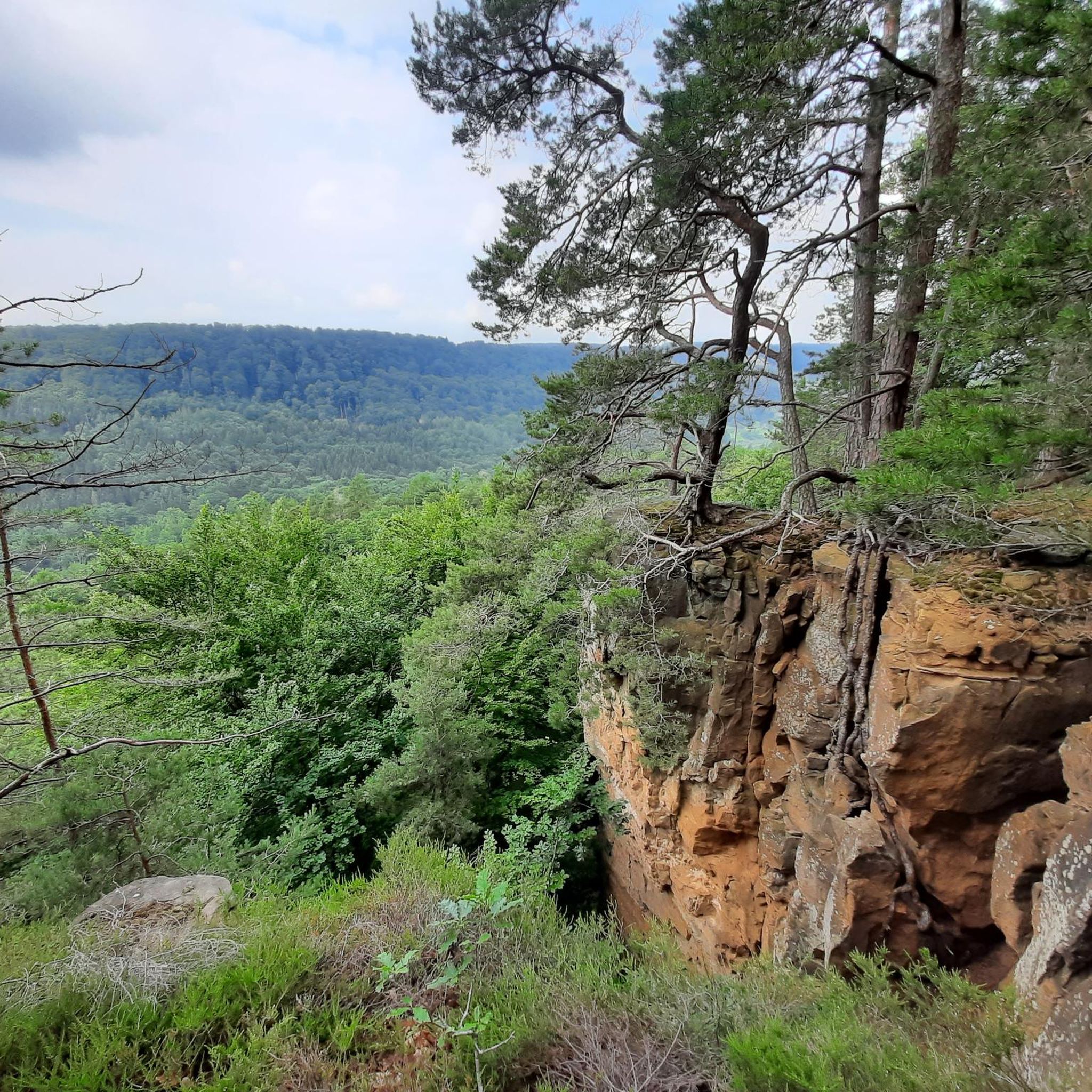
Beautiful view. Rough rock formations that hike is really worth it.
0
0

At some moments it can get very busy here.
0
0
Frequently Asked Questions
What kind of terrain can I expect on mountaineering routes around Irrel?
Mountaineering routes in Irrel are known for their distinctive rocky landscapes, dense woodlands, and deep gorges. You'll encounter unique geological formations, including labyrinthine rock passages and notable caves, with varied terrain suitable for different skill levels.
Are there any family-friendly mountaineering routes in Irrel?
Yes, Irrel offers routes suitable for families. For a moderate option that's not too long, consider The gorge – View from the Adlerhorst Cliff loop from Berdorf, which is about 4.8 km (3.0 miles) and takes around 1 hour 25 minutes to complete. It leads through a scenic gorge.
What are some of the most interesting natural attractions to see along the routes?
The region is rich in unique geological features. You can explore the impressive Huel Lee (Hohllay Cave), navigate the intricate Labyrinth of Rocks (Felsenlabyrinth) Mullerthal, or discover the dramatic Devil's Gorge. Many routes incorporate these natural wonders.
Are there any circular mountaineering routes available?
Absolutely, many routes in Irrel are circular. A popular moderate option is the Huel Lee (Hohllay Cave) – Labyrinth Rock Formations loop from Berdorf, which is 16.2 km (10.1 miles) long and takes about 4 hours 32 minutes, exploring impressive rock formations and a cave system.
What is the overall difficulty level of mountaineering in Irrel?
Irrel offers a range of difficulties. Out of 15 routes, there is 1 easy, 9 moderate, and 5 difficult options. This variety ensures there's something for everyone, from those seeking a gentle walk to experienced mountaineers looking for a challenge.
What do other mountaineers say about the routes in Irrel?
The routes in Irrel are highly regarded by the komoot community, with an average rating of 4.7 stars from over 80 reviews. Mountaineers often praise the unique rock formations, the tranquility of the dense woodlands, and the well-maintained paths that lead through the gorges.
Are there any longer, more challenging mountaineering routes for experienced hikers?
For those seeking a more demanding experience, consider the Rock gorge – View of Echternach loop from Echternach. This difficult route spans nearly 20 km (12.4 miles) and involves significant elevation changes, typically taking around 5 hours 49 minutes to complete.
Can I find routes that feature rock passages or unique geological formations?
Yes, the region is famous for its rock passages. The Rock Passage in the Eifel – Rock Passageway loop from Ernzen is a moderate 7.4 km (4.6 miles) route that specifically highlights these unique geological features, taking about 2 hours 17 minutes.
What is the best time of year for mountaineering in Irrel?
While specific seasonal conditions can vary, the Eifel region, where Irrel is located, generally offers pleasant hiking conditions from spring through autumn. Spring brings blooming flora, summer offers lush greenery, and autumn showcases vibrant fall colors, making these seasons ideal for exploring the rocky landscapes and woodlands.
Are there any routes that start from Echternach?
Yes, you can find routes starting from Echternach. A popular moderate option is the Labyrinth Rock Formations – Huel Lee (Hohllay Cave) loop from Echternach, which is 13.8 km (8.6 miles) long and offers diverse scenery through unique rock formations and forested sections.
How many mountaineering routes are available in the Irrel area?
There are 15 distinct mountaineering routes available around Irrel, offering a variety of distances and difficulty levels to suit different preferences and fitness levels.
Most popular attractions around Irrel

Get inspired with the komoot mobile app


Explore more
Browse the best Mountain Hikes & Routes in other regions.
