The best road cycling routes around Omont
3.4
(10)
427
riders
77
rides
Road cycling routes around Omont are situated within the Ardennes region, characterized by rolling hills, river valleys, and agricultural landscapes. The terrain offers varied elevation changes, with routes featuring both gentle gradients and more significant ascents. Cyclists can expect to encounter a mix of open fields, forested sections, and areas near reservoirs and waterways. This region provides a diverse environment for road cycling, from shorter, easier rides to longer, more challenging routes with notable climbs.
Best road cycling routes around…
Last updated: July 10, 2026
16
riders
70.5km
03:00
520m
520m
Moderate road ride. Good fitness required. Some segments of this route may be unpaved and difficult to ride.
15
riders
Easy road ride. Great for any fitness level. Mostly well-paved surfaces and easy to ride.

Sign up for free
12
riders
44.0km
01:53
370m
370m
Moderate road ride. Good fitness required. Mostly well-paved surfaces and easy to ride.
3.0
(1)
11
riders
46.9km
02:11
580m
580m
Moderate road ride. Good fitness required. Mostly well-paved surfaces and easy to ride.
9
riders
17.0km
00:45
180m
180m
Easy road ride. Great for any fitness level. Mostly well-paved surfaces and easy to ride.
Get access to more routes and recommendations from other explorers.
Sign up for free
Already have an account?
Our route recommendations are based on thousands of hikes, rides, and runs completed by other people on komoot.
Start today with a free account
Your next adventure awaits.
Login or Signup


Tips from the Community

This chapel, located far from the village of Givry, was consecrated in 1960. The original Gothic church was destroyed in World War I and rebuilt in 1938 according to plans by architects Malard and Broux. However, it was destroyed again in World War II in 1940 and rebuilt from 1959 onwards according to the latest plans. The actual church is surrounded by an L-shaped gallery, and in front of it is a rest area located above the field path, offering a beautiful panoramic view. Unfortunately, there is no shade here.
0
0


type of reservoir with different levels
0
0

Sweet little town between Meuse and Champagne
2
0

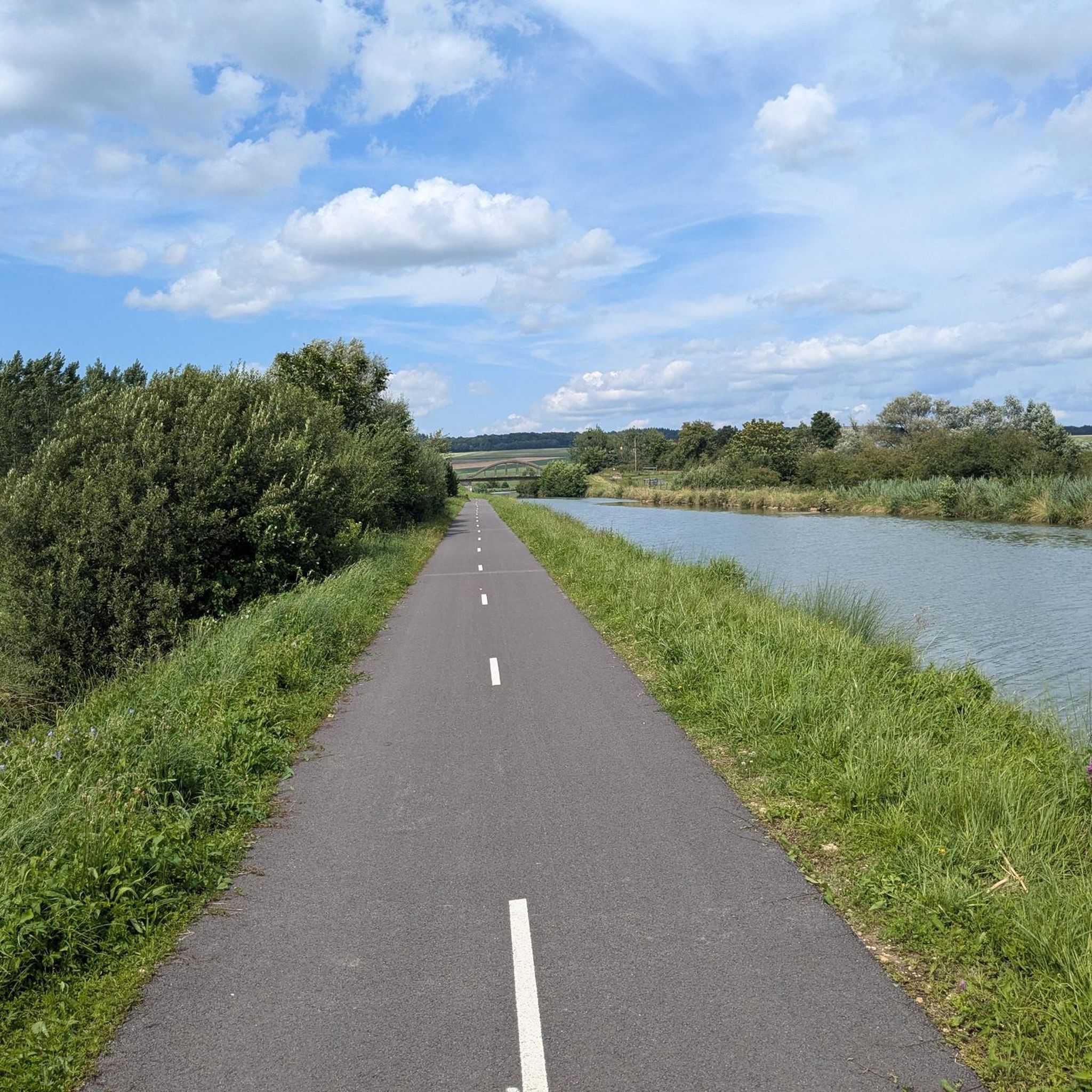
Located along the greenway, a picnic table and bike storage are available.
0
0

Here begins the Canal des Ardennes, which connects the Meuse with the Aisne and the waterways of the Seine basin; the 106 km long canal was built during the time of King Louis Philippe (second quarter of the 19th century) and has 46 locks between Pont-à-Bar and Berry-au-Bac in the southwest.
2
0

Good bivouac spot
0
0
Frequently Asked Questions
How many road cycling routes are available around Omont?
There are over 80 road cycling routes around Omont, offering a wide range of options for different skill levels and preferences. The area is known for its rolling hills, river valleys, and agricultural landscapes within the broader Ardennes region.
What kind of terrain can I expect on road cycling routes near Omont?
The terrain around Omont features rolling hills, river valleys, and agricultural landscapes. Cyclists will encounter varied elevation changes, from gentle gradients suitable for easier rides to more significant ascents on challenging routes. You'll experience a mix of open fields, forested sections, and areas near reservoirs and waterways.
Are there any easy road cycling routes for beginners or families in Omont?
Yes, Omont offers several easy road cycling routes. For instance, the Road in the middle of the fields loop from Bouvellemont is an easy 10.5-mile (17.0 km) path with minimal elevation gain, providing open views across agricultural fields. There are 10 easy routes in total.
What are some popular moderate road cycling routes around Omont?
A popular moderate route is the Montgon lock – Bairon Reservoir loop from Table, a 27.4-mile (44.1 km) trail that navigates past water features. Another option is the Bairon Reservoir – Lac de Bairon loop from Baâlons, which is 40.9 km long and also rated moderate.
Are there challenging routes for experienced road cyclists near Omont?
Yes, for experienced cyclists seeking a challenge, routes like the Beautiful Ascent from Élan loop from Omont offer varied terrain with significant climbs. This 26.0-mile (41.9 km) trail is often completed in about 2 hours 2 minutes. There are 4 difficult routes in the area.
What natural features or landmarks can I see along the road cycling routes?
While cycling, you can encounter various natural and historical features. Notable points of interest include the Bairon Reservoir, which is featured on several routes. You might also pass by the Chartreuse du Mont-Dieu, a historical site, or sections of the Canal des Ardennes with its succession of locks.
Are there any loop routes for road cycling in Omont?
Yes, many of the road cycling routes around Omont are designed as loops, allowing you to start and finish at the same point. Examples include the Montgon lock – Bairon Reservoir loop from Table and the Road in the middle of the fields loop from Bouvellemont.
What do other road cyclists say about the routes in Omont?
The road cycling routes in Omont are highly rated by the komoot community, with an average score of 3.4 stars from over 8 reviews. Cyclists often praise the varied terrain, from open fields to forested sections, and the mix of easy loops and routes with notable ascents.
Is public transport available for cyclists in the Ardennes region, particularly near Omont?
While specific public transport options directly to Omont with bike carriage might be limited, major towns in the Ardennes like Charleville-Mézières and Sedan often have better public transport connections. It's advisable to check local bus or train services for their bike policies and schedules if you plan to use public transport to reach the cycling areas.
When is the best time of year for road cycling around Omont?
The best time for road cycling around Omont, located in the Ardennes region, is generally from spring through early autumn (April to October). During these months, the weather is typically milder and more stable, offering pleasant conditions for exploring the rolling hills and scenic landscapes. Summer provides the warmest temperatures, while spring and autumn offer beautiful seasonal colors.
Are there cafes or places to stop for refreshments along the routes?
While specific cafes directly on every route are not guaranteed, the routes often pass through or near small villages and towns where you can find local establishments for refreshments. It's a good idea to check your route in advance for potential stops or carry sufficient supplies, especially on longer rides.
Are there any specific permits required for road cycling in the French Ardennes?
Generally, no specific permits are required for road cycling on public roads in the French Ardennes. However, always respect local regulations, private property, and any signage indicating restricted access, especially if routes venture into protected natural areas or private estates.
Most popular attractions around Omont

Get inspired with the komoot mobile app


Explore more
Browse the best Road cycling routes in other regions.
