The best walks and hikes around Saint-Denis-Sur-Sarthon
4.6
(676)
3,868
hikers
123
hikes
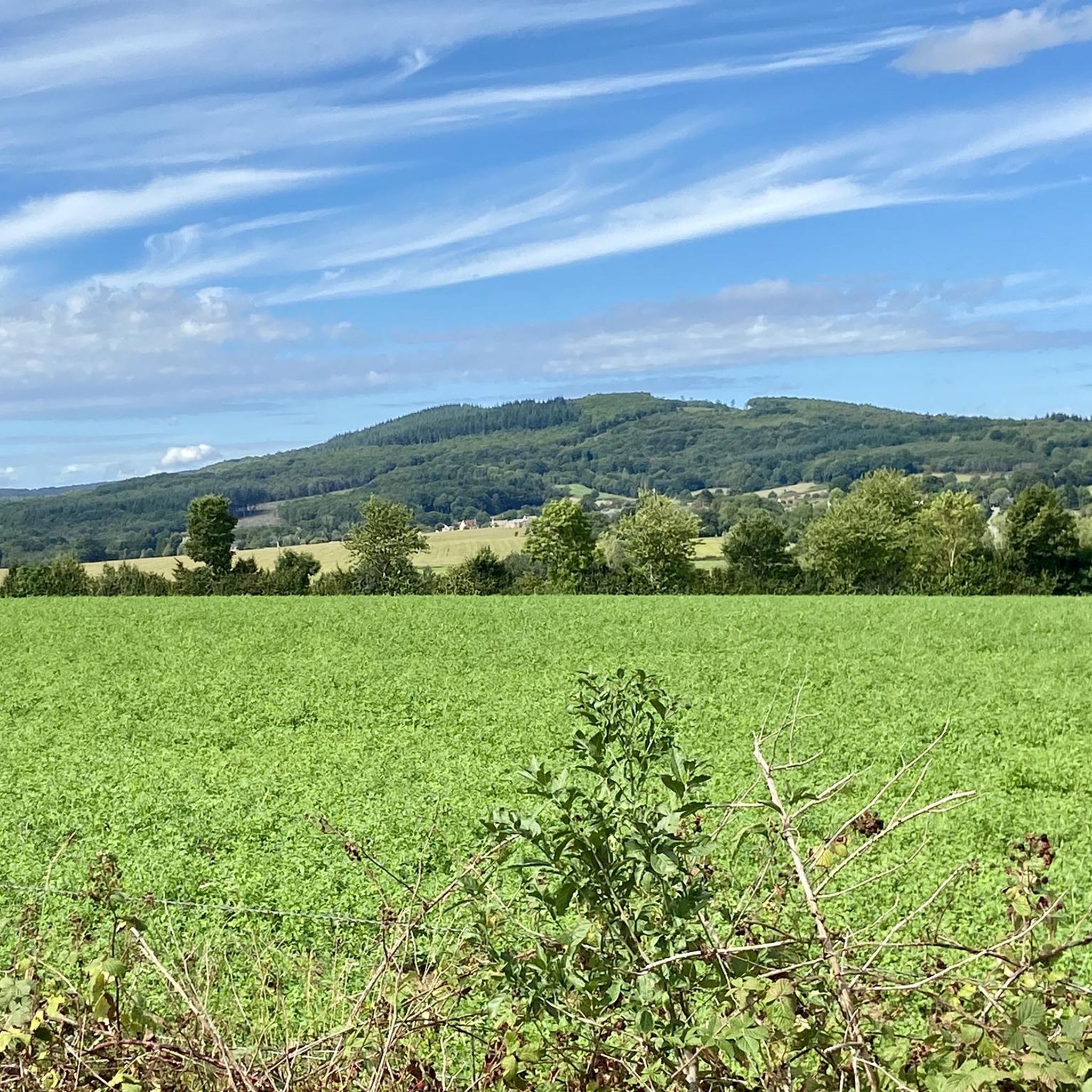
Hiking around Saint-Denis-Sur-Sarthon offers access to diverse landscapes, including expansive forests and rolling hills. The region is characterized by the extensive Écouves, Perseigne, and Multonne Forests, providing varied terrain for outdoor activities. Situated at the gateway to the Normandie-Maine Regional Nature Park, the area features deep forests, moorland, and hedged farmland. Notable natural features include the Mont des Avaloirs, a prominent hill offering panoramic views, and the unique "granite chaos" of Multonne Forest.
Best hiking trails around Saint-Denis-Sur-Sarthon
- The most…
Last updated: July 2, 2026
4.7
(6)
46
hikers
Moderate hike. Good fitness required. Easily-accessible paths. Suitable for all skill levels.
4.6
(5)
18
hikers
8.13km
02:18
180m
180m
Moderate hike. Good fitness required. Easily-accessible paths. Suitable for all skill levels.

Sign up for free
5.0
(6)
20
hikers
6.98km
01:59
160m
160m
Easy hike. Great for any fitness level. Easily-accessible paths. Suitable for all skill levels.
4.6
(7)
23
hikers
Easy hike. Great for any fitness level. Easily-accessible paths. Suitable for all skill levels.
5.0
(3)
9
hikers
Moderate hike. Good fitness required. Easily-accessible paths. Suitable for all skill levels.
Get access to more routes and recommendations from other explorers.
Sign up for free
Already have an account?
Our route recommendations are based on thousands of hikes, rides, and runs completed by other people on komoot.
Start today with a free account
Your next adventure awaits.
Login or Signup



Tips from the Community

Very pretty place, nicely designed. Unfortunately, it's overcrowded with tourists. Perhaps a good stop on a hike.
0
0
Riding up there by bike was quite strenuous, but the view from the top was worth the effort. It was well worth it.
0
0

very varied and pleasant hike
0
0

Beautiful little village. Would also have been ideal for hiking.
0
0

Beautiful 360 degree view
1
0

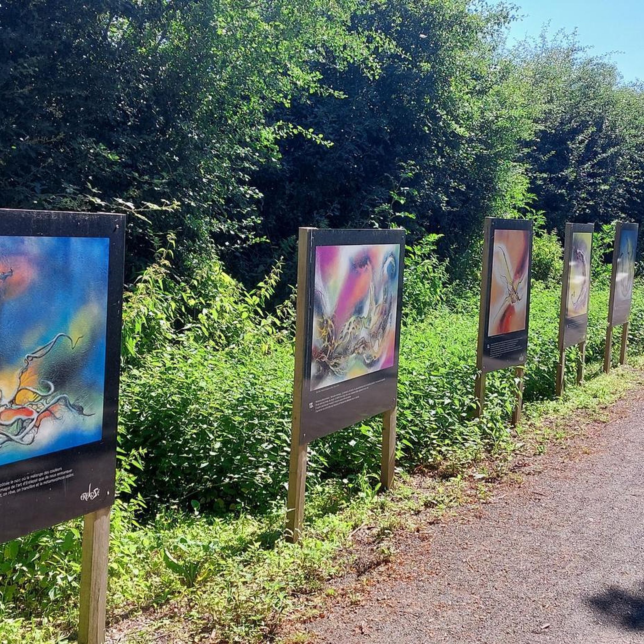
Located in Mayenne, Mont des Avaloirs is the highest point of the Armorican massif. It is part of the Normandy-Maine Regional Natural Park and enjoys the status of a Global Geopark. The belvedere, built in 1994 and covered with a magnificent colorful fresco, painted in 2019 by the Franco-British artist Seb Toussaint. It offers a 360° view of all the surrounding forests and peaks.
0
0

From its height of 416 meters, Mont des Avaloirs is the highest point of the Armorican Massif. At the top there is a belvedere which offers a 360 degree panorama.
2
0

Starting from the center of the village and crossing the bridge to this point, remember to look back and appreciate the view of the village and the church towering above you.
2
0
Frequently Asked Questions
How many hiking trails are available around Saint-Denis-Sur-Sarthon?
There are nearly 120 hiking routes around Saint-Denis-Sur-Sarthon, catering to various difficulty levels. You'll find 42 easy routes, 74 moderate routes, and 3 difficult options, ensuring there's a trail for every hiker.
What are the best areas for hiking in the region?
The region is rich in natural beauty, with extensive forests like Écouves Forest, Perseigne Forest, and Multonne Forest offering diverse hiking experiences. Saint-Denis-Sur-Sarthon is also at the gateway to the Normandie-Maine Regional Nature Park, which features deep forests, moorland, and hedged farmland.
Are there any family-friendly hiking options?
Yes, the area offers several easy routes suitable for families. For instance, the Sainte-Anne de Champfrémont loop from Champfrémont is an easy 7.0 km trail, often completed in under 2 hours. Another accessible option is the House of the Courtemiche Maquis – Sainte-Anne de Champfrémont loop from Champfrémont, which is 6.4 km long.
What kind of natural landmarks or viewpoints can I expect to see on the trails?
Hikers can discover several notable natural features and viewpoints. The Perseigne Forest hosts the 30-meter high Perseigne lookout, offering panoramic views. Within Écouves Forest, you can explore the "Rochers du Vignage" trail for admirable forest views and find the unique Carrefour du Chêne au Verdier. The Mont des Avaloirs viewpoint is also a prominent feature, providing expansive vistas.
Are there any circular hiking routes available?
Yes, many routes in the area are circular, allowing you to start and end at the same point. Examples include the moderate Mont des Avaloirs and the house of Maquis Courtemiche — loop from Champfrémont, and the Forêt de Multonne loop from Saint-Denis-sur-Sarthon, which takes you through the unique Multonne Forest.
What do other hikers enjoy most about the trails in Saint-Denis-Sur-Sarthon?
The area is highly rated by the komoot community, with an average score of 4.6 stars from over 600 reviews. Hikers often praise the diverse landscapes, from extensive forests to rolling hills, and the well-maintained network of trails that cater to all abilities.
Can I access long-distance hiking routes from Saint-Denis-Sur-Sarthon?
Yes, the Perseigne Forest, located near Saint-Denis-Sur-Sarthon, is part of the renowned GR22 hiking route. This long-distance trail stretches from Paris to Mont Saint-Michel, offering opportunities for extended treks.
Are there any specific trails known for unique geological features?
The Multonne Forest is particularly known for its unique "granite chaos," heather carpets, and tall deciduous trees, offering a distinct and peaceful setting for hikes. You can experience this on the Forêt de Multonne loop from Saint-Denis-sur-Sarthon.
What is the highest point in the region that I can hike to?
The highest point in the Sarthe département is the Perseigne lookout, located in the Perseigne Forest at 340 meters. It provides spectacular panoramic views of the surrounding hedged farmland and distant villages. The Mont des Avaloirs and the house of Maquis Courtemiche — loop from Champfrémont also includes the Mont des Avaloirs, another significant high point.
Are there any cultural attractions or picturesque villages nearby to visit after a hike?
Yes, the picturesque village of Saint-Cénéri-le-Gérei, recognized as one of France's "Most Beautiful Villages," is only 8 km away. It offers a charming cultural interlude, historically attracting painters with its scenic beauty. You can even find a moderate route like Saint-Céneri-le-Gérei – Saint-Cénéri-le-Gérei loop from La Ferrière-Bochard that explores this area.
Where can I find more information about the forests in the area?
For more details on the extensive forests surrounding Saint-Denis-Sur-Sarthon, including Écouves, Perseigne, and Multonne, you can visit the local tourism website: alencontourisme.com.
Are there any specific trail stations or hubs for hikers?
The Écouves trail station serves as a hub for hikers within the Écouves Forest. It provides seven signposted routes ranging from 5 to 30 km, suitable for all abilities, making it a great starting point for exploring the forest.
Most popular routes around Saint-Denis-Sur-Sarthon
Most popular attractions around Saint-Denis-Sur-Sarthon

Get inspired with the komoot mobile app


Explore more
Browse the best Hikes in other regions.
