The best walks and hikes around Longuenoë
4.6
(115)
562
hikers
67
hikes
Hiking around Longuenoë offers a diverse landscape characterized by rolling hills and varied terrain. The region features a mix of open countryside and forested areas, providing a range of environments for outdoor exploration. Trails often include moderate elevation gains, making them suitable for hikers seeking active routes.
Best hiking trails around Longuenoë
- The most popular hiking route is Superb panorama loop from La Roche-Mabile, a 3.0 miles (4.7 km) trail that takes 1 hour 24 minutes to complete. This…
Last updated: June 25, 2026
4
hikers
4.75km
01:24
140m
140m
Easy hike. Great for any fitness level. Easily-accessible paths. Suitable for all skill levels.
5.0
(1)
6
hikers
11.2km
03:02
150m
150m
Moderate hike. Good fitness required. Easily-accessible paths. Suitable for all skill levels.

Sign up for free
5.0
(2)
6
hikers
10.7km
03:04
260m
260m
Moderate hike. Good fitness required. Mostly accessible paths. Sure-footedness required.
5
hikers
11.2km
03:08
220m
220m
Moderate hike. Good fitness required. Easily-accessible paths. Suitable for all skill levels.
5.0
(2)
8
hikers
Moderate hike. Good fitness required. Mostly accessible paths. Sure-footedness required.
Get access to more routes and recommendations from other explorers.
Sign up for free
Already have an account?
Our route recommendations are based on thousands of hikes, rides, and runs completed by other people on komoot.
Start today with a free account
Your next adventure awaits.
Login or Signup



Tips from the Community

Perhaps the small botanical problem only exists in the German translation that the komoot system displays via Google, but: The highlight name refers to an "oak," but the text then refers to a "mammoth tree." But aside from this minor linguistic confusion, a beautiful carving can be found at this point in the forest.
0
0
Perhaps the small botanical problem only exists in the German translation that the komoot system displays via Google, but: The highlight name refers to an "oak," but the text then refers to a "mammoth tree." But aside from this minor linguistic confusion, a beautiful carving can be found at this point in the forest.
0
0
At this central location in the forest—where six streets converge to form an open space—the brightly lit small sacred monument rises above a slab and a small stone base. The simply crafted wooden cross (without a body) bearing the name "La Croix Madame" is painted white, forming a radiant centerpiece in the middle of the forest.
0
0

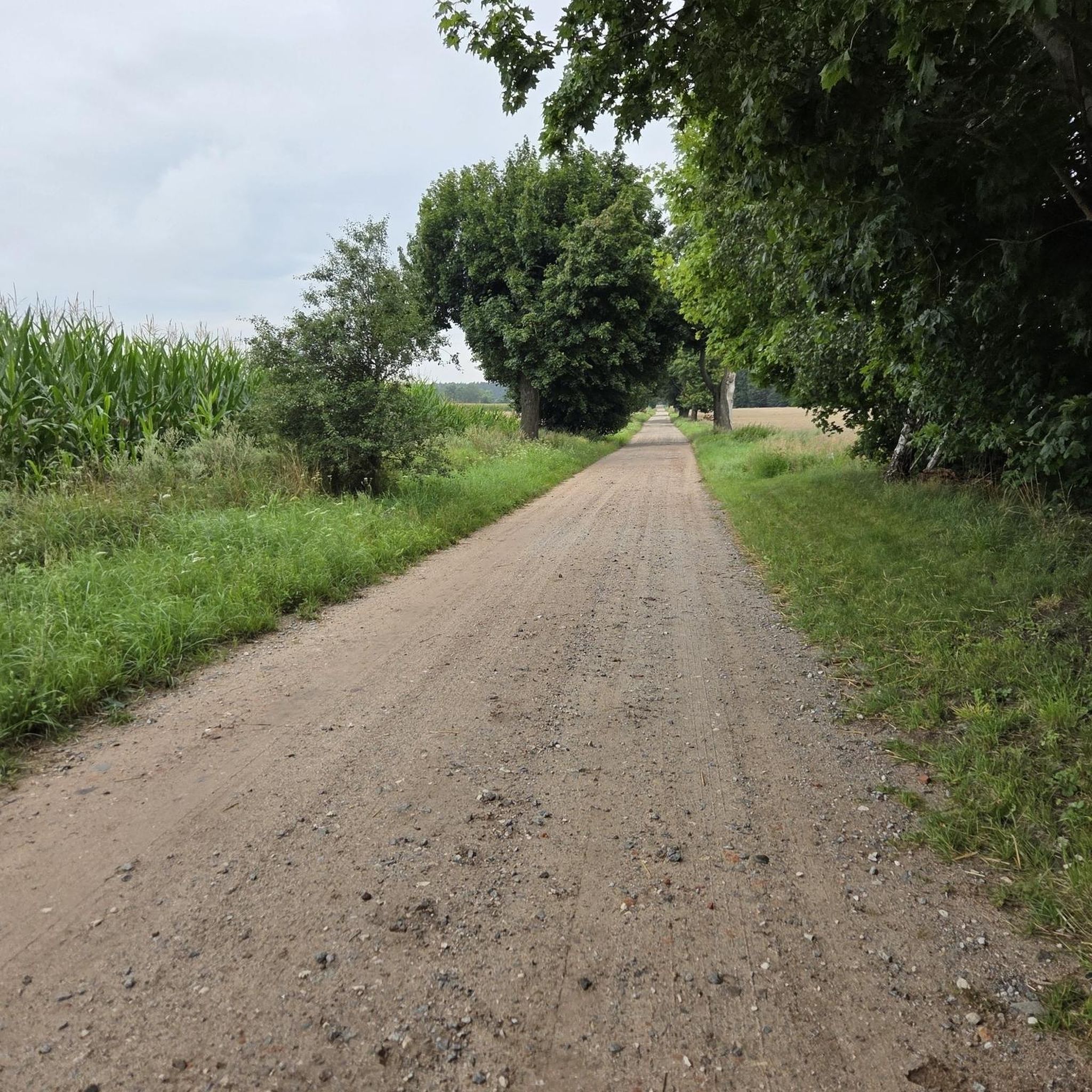
To the north of L'Orée-d'Écouves, this place takes up the name of the town perfectly. Located on the edge of the Écouves forest, on a pretty tree-lined road, it offers superb landscapes over the surrounding countryside.
0
0
“Each of these crosses can tell its own story and what motivated people to erect“ their ”cross at this point. (...) These crossroads were erected as visible signs and attract the eyes of many people. The cross is a symbol of life. It stands as a sign of our Christian hope and wants to direct our gaze to Jesus Christ, who overcame death (...). The cross is part of our life, just as it was part of the life of Jesus. So I wish that many people ... visit the crossroads, whether as places of silence and breathing before God, whether as places of congregation meeting, prayer and praise of God. " (Text source: Dean Rainald M. Ollig in: "Crosses of the way ... Small sacred monuments as a sign of popular piety")
2
0

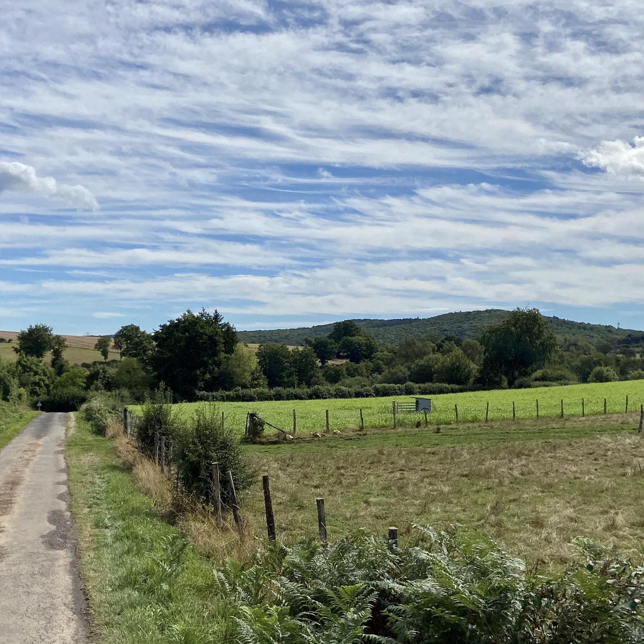
La Roche Mabile is a small village of barely 150 inhabitants, but the landscapes are worth seeing. Stone houses, small paths and hilly landscapes make La Roche Mabile a magnificent passage along the Véloscénie.
1
0

From Alençon to Carrouges, I passed through this village and as for Carrouges, it must be earned, these are magnificent places
0
0

A remarkable crossroads in the Ecouves forest with its giant sculpted sequoia. The latter, a victim of lightning, was doomed to disappear. It was decided to give it a second life, in the form of a totem pole this time! The sculptures represent a ranger, an owl and an eagle, guardians of the forest.
1
0
Frequently Asked Questions
How many hiking trails are available around Longuenoë?
There are over 60 hiking trails in the Longuenoë region, offering a diverse range of experiences. These include 18 easy routes and 48 moderate trails, ensuring options for various fitness levels.
Are there any easy or beginner-friendly hikes in Longuenoë?
Yes, Longuenoë offers 18 easy hiking routes suitable for beginners or those looking for a relaxed stroll. An excellent option is the Superb panorama loop from La Roche-Mabile, which is 4.7 km long and takes about 1 hour 24 minutes to complete, offering scenic views.
What are some good circular walks in the Longuenoë area?
Many trails in Longuenoë are circular, allowing you to start and end at the same point. The Hiking loop from Saint-Didier-sous-Écouves is a popular moderate option, covering 11.2 km. Another great choice is the Madame's Cross loop from Les Arcis, a 9.6 km trail through fields and woodlands.
Are the hiking trails in Longuenoë suitable for families with children?
Longuenoë's varied terrain includes several easy routes that are well-suited for families. The shorter, less strenuous paths, particularly those under 5 km, are ideal for walks with children. Consider the Superb panorama loop from La Roche-Mabile for a family-friendly outing.
Can I bring my dog on the hiking trails in Longuenoë?
Most hiking trails in Longuenoë are dog-friendly, but it's always recommended to keep your dog on a leash, especially in areas with livestock or protected wildlife. The region's mix of open countryside and forested areas provides plenty of opportunities for you and your canine companion to explore.
What kind of scenery and attractions can I expect to see along the trails?
The Longuenoë region is characterized by rolling hills, varied countryside, and forested paths. Along the trails, you can discover interesting landmarks such as Madame's Cross and the historic Carrouges Castle. For panoramic views, head towards the Mont des Avaloirs viewpoint.
What is the best time of year to go hiking in Longuenoë?
The best time for hiking in Longuenoë is generally from spring to autumn (April to October), when the weather is mild and the natural scenery is at its most vibrant. Summer offers longer daylight hours, while spring and autumn provide pleasant temperatures and beautiful foliage.
Are there opportunities for wildlife spotting while hiking?
The diverse landscapes of Longuenoë, including its forests and open fields, provide habitats for various wildlife. Keep an eye out for local bird species, deer, and other small mammals, particularly during quieter times of the day like early morning or late afternoon.
What do other hikers say about the trails in Longuenoë?
The hiking routes in Longuenoë are highly rated by the komoot community, with an average score of 4.6 stars from over 100 reviews. Nearly 600 hikers have used komoot to explore the region, often praising the well-maintained paths and the peaceful, varied countryside.
Is parking available at the trailheads in Longuenoë?
Parking is generally available near the starting points of many popular trails and in the villages surrounding Longuenoë. It's advisable to check specific route descriptions on komoot for detailed parking information for your chosen hike.
Are there any longer, more challenging hikes for experienced hikers?
While Longuenoë doesn't feature 'difficult' graded trails, it offers several moderate routes that provide a good challenge for experienced hikers. The The Oak at Verdier – La Croix Madame loop from Saint-Nicolas-des-Bois, at 13.2 km with over 300m of elevation gain, is a good option for a longer outing.
Can I reach the hiking trails using public transport?
Public transport options to reach specific trailheads in Longuenoë may be limited. It is generally recommended to use a car for greater flexibility in accessing the various starting points for hikes in the region. Always check local transport schedules if planning to rely on public services.
Most popular routes around Longuenoë
Most popular attractions around Longuenoë

Get inspired with the komoot mobile app


Explore more
Browse the best Hikes in other regions.
