The best road cycling routes around Vers
4.6
(55)
1,364
riders
170
rides
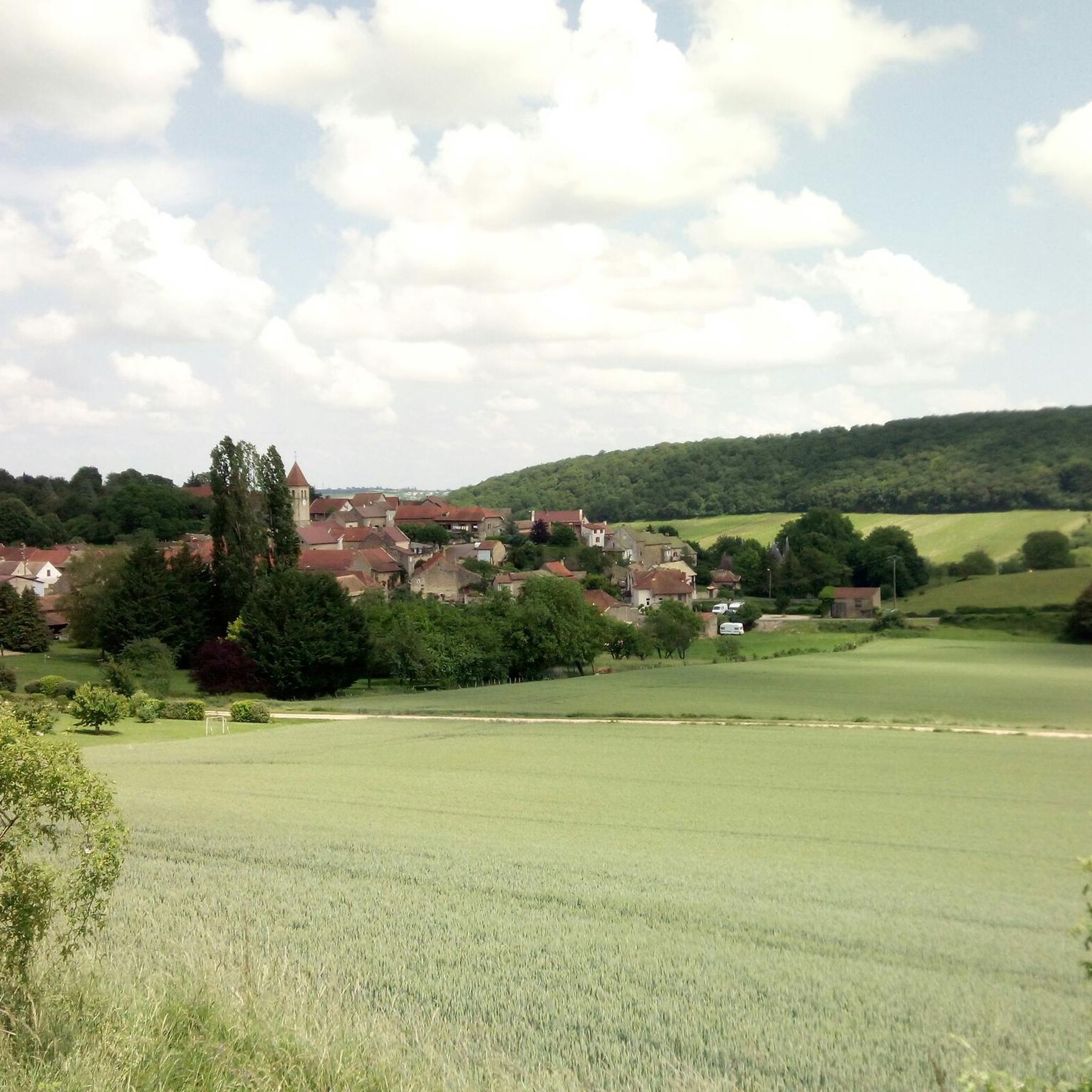
Road cycling routes around Vers traverse a landscape characterized by rolling hills, river valleys, and forested areas. The region offers varied terrain, including notable climbs and passes, providing diverse experiences for road cyclists. Elevations range from gentle ascents to more challenging climbs, with some routes featuring significant elevation gains. The area's natural features include numerous hills and scenic viewpoints.
Best road cycling routes around Vers
- The most popular road cycling route is Col de Brancion — loop from Tournus,…
Last updated: October 13, 2026
5.0
(1)
15
riders
42.5km
02:13
710m
710m
Moderate road ride. Good fitness required. Mostly well-paved surfaces and easy to ride.
4.5
(2)
39
riders
40.6km
02:07
440m
440m
Moderate road ride. Good fitness required. Some segments of this route may be unpaved and difficult to ride.

5.0
(1)
33
riders
57.8km
02:32
570m
570m
Moderate road ride. Good fitness required. Mostly well-paved surfaces and easy to ride.
32
riders
42.9km
02:10
650m
650m
Moderate road ride. Good fitness required. Mostly well-paved surfaces and easy to ride.
3.0
(1)
32
riders
67.1km
03:52
1,410m
1,410m
Hard road ride. Very good fitness required. Some segments of this route may be unpaved and difficult to ride.
Get access to more routes and recommendations from other explorers.
Already have an account?
Our route recommendations are based on thousands of hikes, rides, and runs completed by other people on komoot.
Start today with a free account
Your next adventure awaits.


Tips from the Community

The Col de Beaufer is located in the Monts du Mâconnais, west of Tournus in the Saône-et-Loire department. With a height of only 303 meters, it is more of a gentle transition between the hills of the Tournugeois than a distinct mountain pass. The surrounding area is characterized by forests, meadows, and the typical wine landscapes of southern Burgundy. The pass is the starting point for several hiking and mountain biking trails, which lead through Plottes and the surrounding hills, among other places. The area "Le Cra et Col de Beaufer" is also designated as an ecologically valuable nature zone and covers around 982 hectares.
0
0

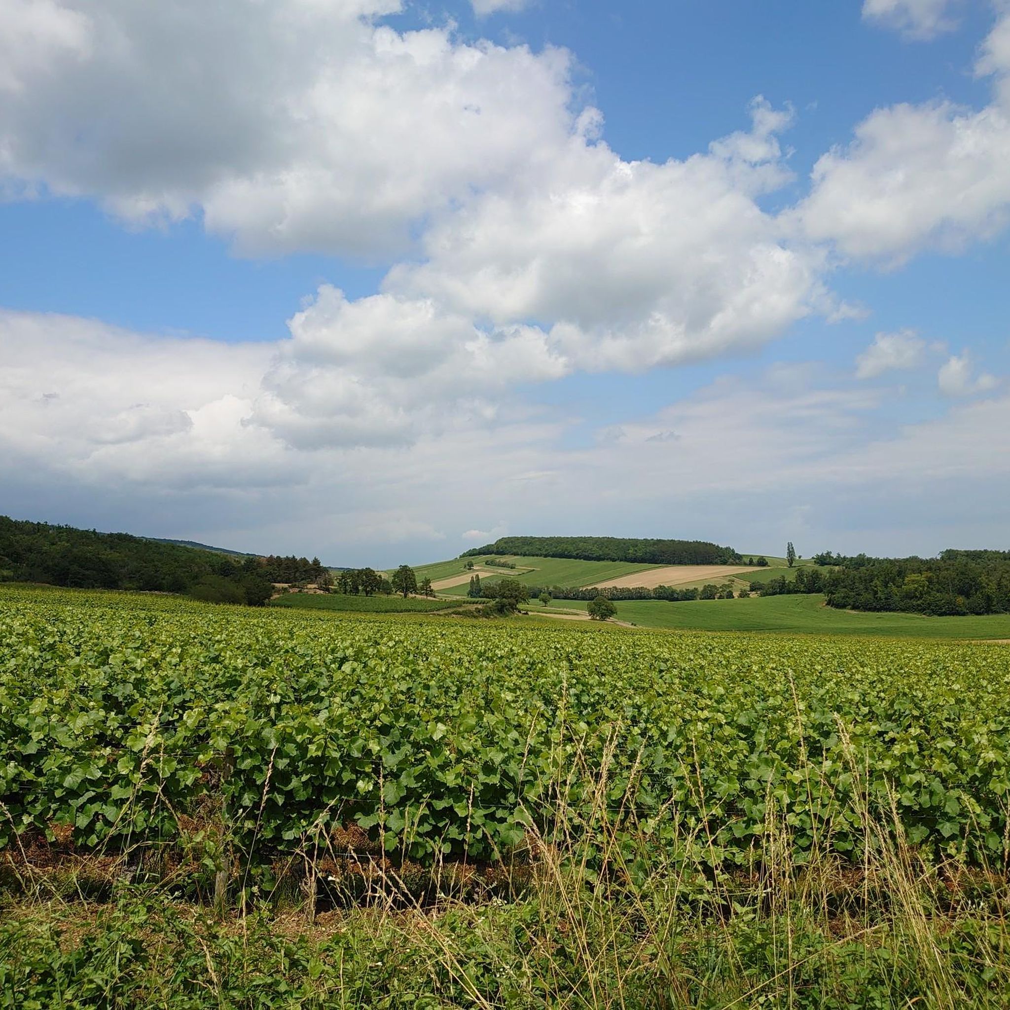
In this small town with its surrounding endless vineyards, everyone seems to live from viticulture.
1
0
Exclusive wine tastings are also offered here.
1
0
More of a climb than a pass, but a nice section.
2
0
Magnificent view, which is worth the climb. Unfortunately, the refreshment stop was closed.
1
0
Mont Saint-Romain is a 579-meter-high mountain in the Mâconnais mountains above the picturesque valley of Blanot. From the summit, you have a comprehensive 360-degree view. To the west, you look out over the hills of Clunisois, and to the east, over the Saône valley. In very clear weather, the view extends to the Alps and Mont Blanc. On the roof of the local Auberge, there is a distinctive, historic orientation table, which was erected in 1948 by the Touring-Club de France. Directly at the viewpoint, a small Auberge (mountain inn) with an outdoor terrace invites you to stop for a break.
1
0
The classic ascent from Mancey is considered a tough short climb in Category 3. Over a distance of 2.2 kilometers, 166 meters of altitude must be overcome. The average gradient is 7.55%, with peak sections of up to 14%. The path junction leads to various hiking trails and gravel paths through the wooded and wine-rich hilly landscape of the Mâconnais.
0
0
The historic old town of Tournus, a French town in the Burgundy region (Saône-et-Loire department). Main attractions: Saint-Philibert Abbey Church: One of the most important Romanesque buildings in France from the 11th and 12th centuries. Picturesque alleys: The old town is characterized by narrow, right-angled streets, colorful facades, and flat roofs with round tiles that have a Mediterranean feel. Hôtel-Dieu: A historic hospital with a well-preserved, ornate 17th-century pharmacy. Greuze Monument: A statue in honor of the famous painter Jean-Baptiste Greuze, born in Tournus in 1725.
0
0
Frequently Asked Questions
What is the general terrain like for road cycling around Vers?
The terrain around Vers is diverse, featuring rolling hills, picturesque river valleys, and forested areas. Depending on the specific location, you might encounter challenging Alpine environments with significant elevation changes and mountain passes like those in Haute-Savoie, or more gentle rides along river valleys with limestone cliffs and historic villages, as found in the Lot region. The area offers a mix of ascents and descents, providing varied experiences for road cyclists.
How many road cycling routes are available in Vers?
There are nearly 180 road cycling routes around Vers, catering to various skill levels. This includes 42 easy routes, 107 moderate routes, and 30 difficult routes, ensuring options for everyone from beginners to experienced cyclists.
What natural features or landmarks can I see while road cycling in Vers?
Road cycling routes around Vers offer views of diverse natural features. In areas like Haute-Savoie, you can expect majestic mountains, pristine lakes such as Lake Annecy, and dramatic gorges. In the Lot region, you'll find winding rivers, limestone cliffs, and lush valleys. Specific highlights near some routes include the Cycle Path along the Saône, offering scenic riverside riding.
Are there historical sites or cultural points of interest along the routes?
Yes, the region around Vers is rich in history and culture. Cyclists can encounter medieval villages, ancient churches, and other historical landmarks. Notable points of interest include Chapaize Church, Saint-Philibert Abbey in Tournus, and Brancion Castle, which is near the Col de Brancion — loop from Tournus route.
What do other road cyclists enjoy about the routes around Vers?
The road cycling routes around Vers are highly rated by the komoot community, with an average score of 4.6 stars from over 40 reviews. More than 1,000 road cyclists have explored the varied terrain, often praising the scenic views, the mix of challenging climbs and gentle sections, and the overall quality of the routes.
Are there challenging road cycling routes for experienced cyclists?
Absolutely. For experienced cyclists seeking a challenge, Vers offers routes with substantial elevation gains and demanding climbs. An example is the Mount Saint-Romain – View of Royer loop from Tournus, which covers 41.1 miles (66.2 km) and features significant ascents, often completed in about 3 hours 49 minutes.
Are there any circular road cycling routes around Vers?
Many of the road cycling routes around Vers are designed as loops, allowing you to start and finish at the same point. For instance, the popular Col de Brancion — loop from Tournus and the Beaufer Pass – Chardonnay loop from Tournus are excellent circular options.
What is the best time of year to go road cycling in Vers?
The best time for road cycling in Vers generally depends on the specific region. In areas with mountainous terrain like Haute-Savoie, late spring to early autumn (May to October) offers the most favorable conditions, avoiding snow and ice on higher passes. In regions like the Lot Valley, spring and autumn provide pleasant temperatures for cycling through vineyards and river valleys, though summer can also be enjoyable, especially along shaded routes.
Are there family-friendly road cycling options in Vers?
Yes, Vers offers family-friendly cycling options, particularly in regions like the Lot Valley where the terrain is generally more gentle. The Lot Valley Cycle Route (V86) includes dedicated cycle paths and low-traffic shared roads, making it suitable for families. Look for routes categorized as 'easy' in the komoot guide, which typically have less elevation gain and shorter distances.
Is parking available near the road cycling routes in Vers?
Parking availability varies by specific starting points. Many routes, especially those originating from towns like Tournus, will have designated parking areas. It's advisable to check the route details on komoot for specific parking information at the trailhead or starting point of your chosen route.
Can I find places to stop for refreshments or accommodation along the routes?
Yes, many road cycling routes in Vers pass through or near villages and towns where you can find cafes, pubs, and accommodation. The Lot Valley, for example, is known for its traditional riverside villages offering amenities. In other regions, larger towns like Annecy or Tournus serve as excellent bases with numerous options for food and lodging.
What are some moderate road cycling routes around Vers?
Vers offers a wide selection of moderate road cycling routes, perfect for those looking for a good workout without extreme difficulty. The Beaufer Pass – Chardonnay loop from Tournus, a 35.7 miles (57.5 km) path, is a popular choice that winds through varied terrain with scenic views. Another option is the Tournus – Col de Navois loop from Tournus, covering 40.1 km with moderate elevation.
Most popular attractions around Vers

Get inspired with the komoot mobile app


Explore more
Browse the best Road cycling routes in other regions.
