The best walks and hikes around Saint-Sauveur-De-Carrouges
4.4
(45)
177
hikers
41
hikes
Hiking around Saint-Sauveur-De-Carrouges offers diverse natural landscapes within the Orne department of Normandy, France. The region is situated within the Normandie-Maine Regional Natural Park and borders the Forêt d'Écouves, providing a preserved environment for outdoor activities. Characterized by hilly landscapes and wooded areas, including the Bois de la Tonnelière, the commune's highest point reaches 313 meters. Several streams flow through the area, adding to the varied terrain for hikers.
Best hiking trails around Saint-Sauveur-De-Carrouges
- The most popular hiking route is…
Last updated: July 8, 2026
4.0
(4)
13
hikers
6.13km
01:37
60m
60m
Easy hike. Great for any fitness level. Easily-accessible paths. Suitable for all skill levels.
4.5
(2)
4
hikers
12.5km
03:23
170m
170m
Moderate hike. Good fitness required. Easily-accessible paths. Suitable for all skill levels.

Sign up for free
4.5
(4)
9
hikers
6.35km
01:44
90m
90m
Easy hike. Great for any fitness level. Easily-accessible paths. Suitable for all skill levels.
5.0
(1)
5
hikers
16.0km
04:31
340m
330m
Moderate hike. Good fitness required. Easily-accessible paths. Suitable for all skill levels.
5.0
(1)
6
hikers
11.2km
03:04
170m
170m
Moderate hike. Good fitness required. Easily-accessible paths. Suitable for all skill levels.
Get access to more routes and recommendations from other explorers.
Sign up for free
Already have an account?
Our route recommendations are based on thousands of hikes, rides, and runs completed by other people on komoot.
Start today with a free account
Your next adventure awaits.
Login or Signup
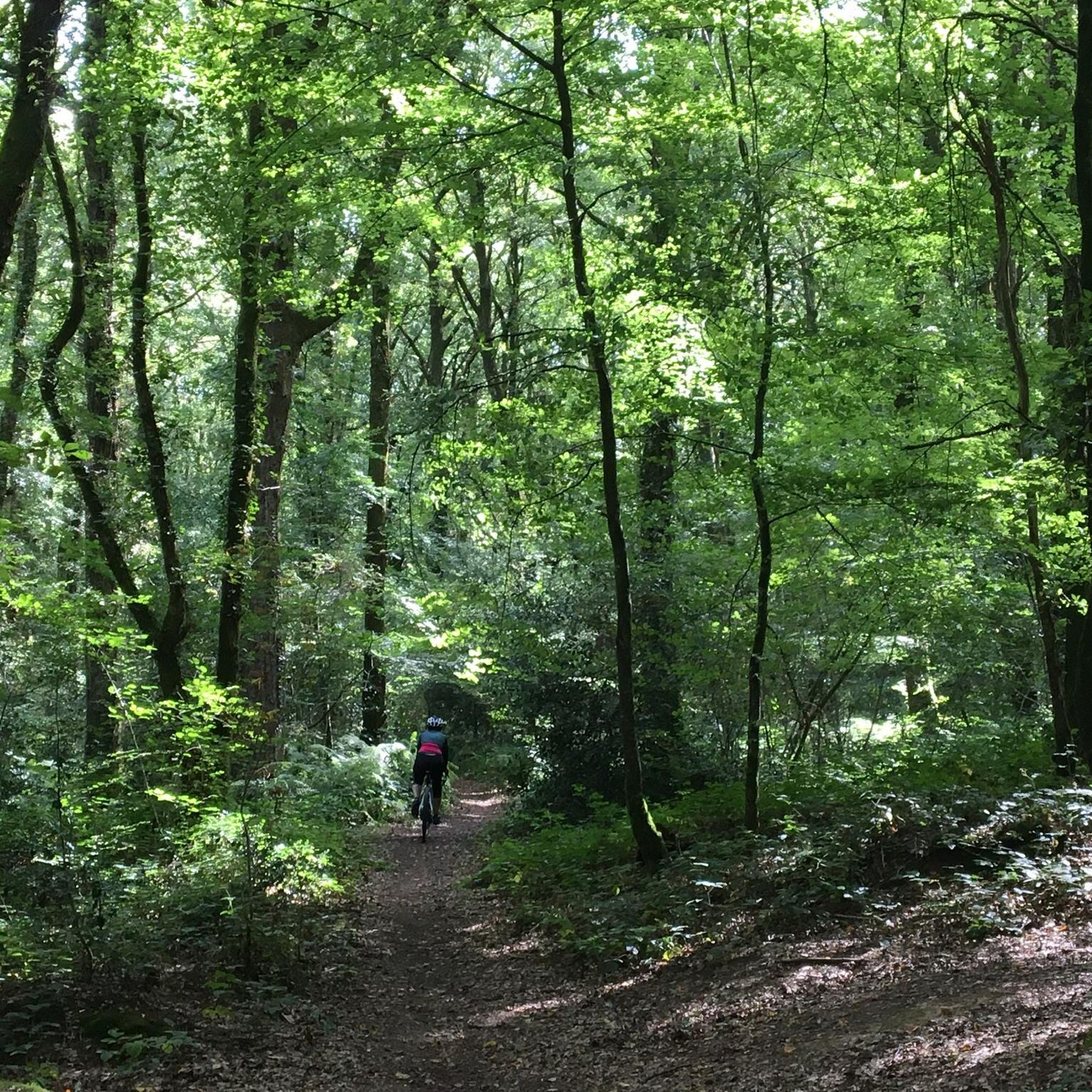
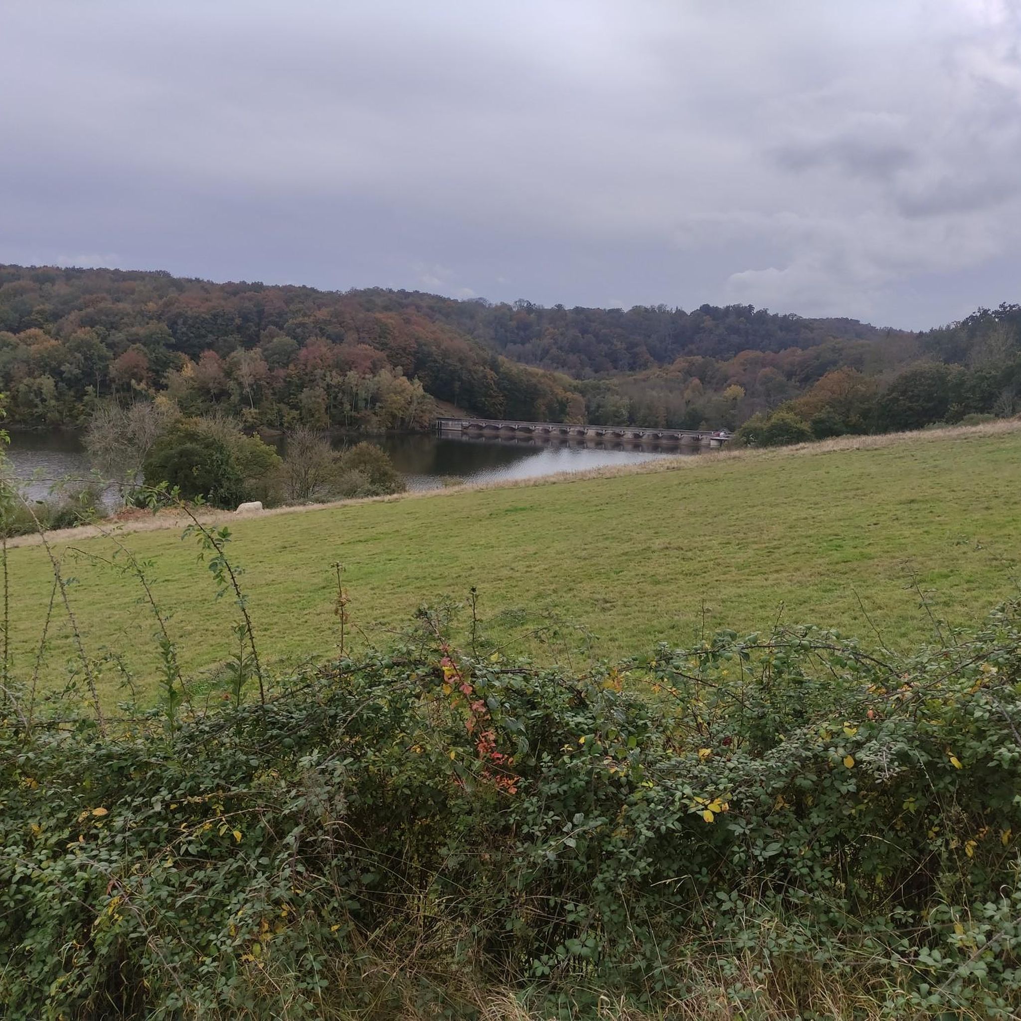


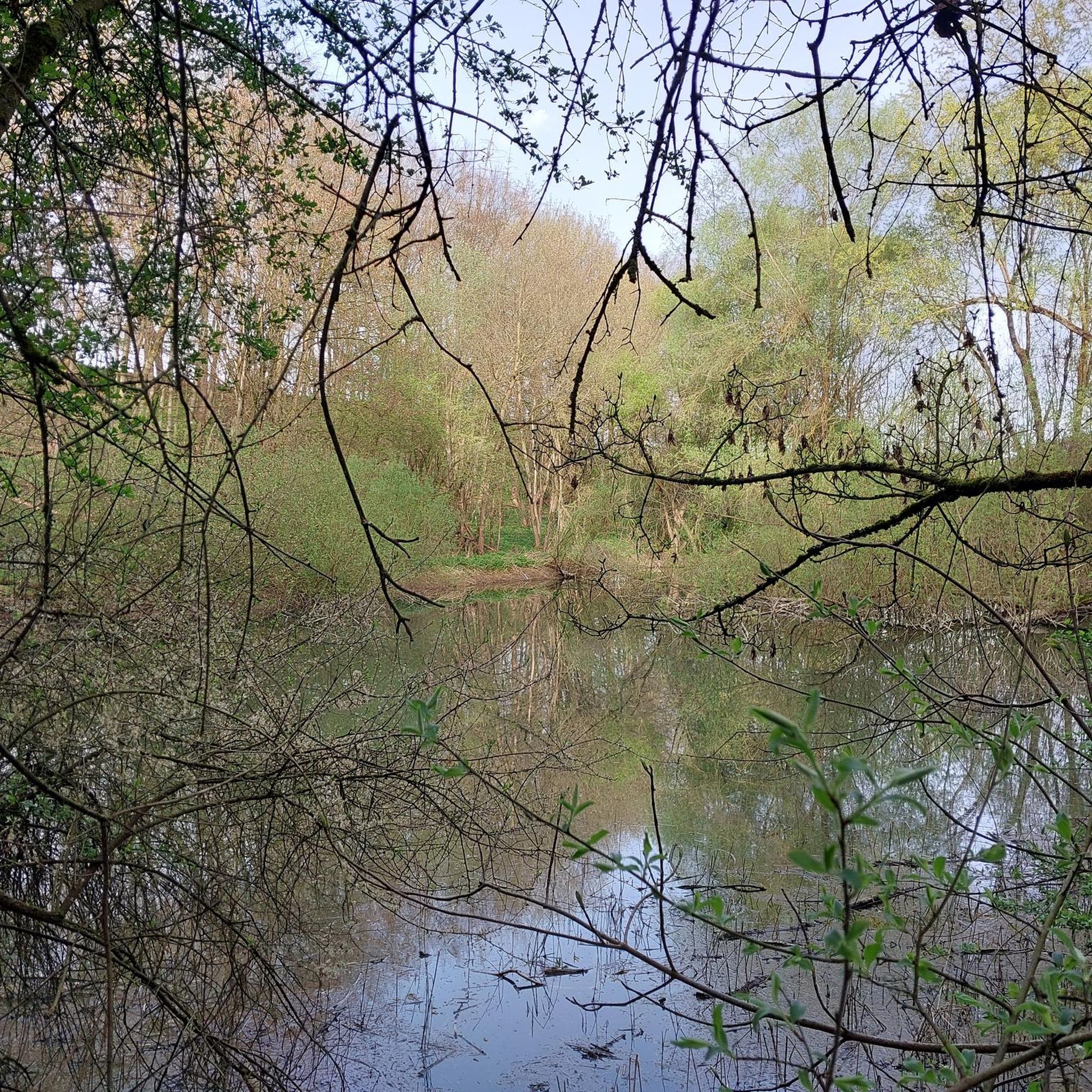
Tips from the Community

Very beautiful castle. The outside area is very interesting and a nice walk. Unfortunately I didn't see the inside of the castle. The bicycle parking area is behind the archway on the inside on the right.
0
0

The castle is one of the largest in Normandy. It has been a listed building since 1927. From the free car park, a gravel path leads first to a gatehouse, then to the square castle, which is as defensive as it is representative and stands next to the small castle garden and a pasture. Beyond the castle stretches the beech and oak forest of the Forêt d’Ecouves, which is part of the Normandy-Maine Regional Nature Park. Inside, the Château de Carrouges invites you to travel through three centuries. The dining room with its marble fireplace and the bishops’ room with its wood-paneled prayer chamber are particularly beautiful.
1
0

To the north of L'Orée-d'Écouves, this place takes up the name of the town perfectly. Located on the edge of the Écouves forest, on a pretty tree-lined road, it offers superb landscapes over the surrounding countryside.
0
0

A very beautiful castle in a historic city.
0
0

Carrouges Castle was built at the end of the 14th century to serve as a stately residence. Over the centuries, the castle has been remodeled and is now managed by the National Monuments Center which restored it. It is possible to visit the castle and its park on a self-guided tour or guided tour.
1
0

On the occasion of the veloscenie, I finished my first day here. You should know that Carrouges is a town located at an altitude of 320 meters, on the northern slope of the signal d'Écouves, the highest peak in Normandy (417 meters). In other words, Carrouges, it must be earned.
1
0

A pretty village in the middle of the woods, surrounded by ponds which supplied forges. These old forges can be visited by appointment. Hiking trail nearby (departure from Rânes, yellow markings).
0
0

Carrouges was first in the 14th century a stronghold of the Hundred Years War (dungeon). It became a stately home in the 15th century (Blosset wing), augmented in the 16th century by an entrance gatehouse considered to be the first witness of Renaissance architecture in Normandy.
0
0
Frequently Asked Questions
How many hiking trails are available around Saint-Sauveur-De-Carrouges?
There are over 40 hiking trails in the Saint-Sauveur-De-Carrouges area, offering a wide range of options for different skill levels. You'll find routes varying from easy strolls to more challenging excursions through the diverse landscapes of the Normandie-Maine Regional Natural Park.
Are there any easy, family-friendly hiking trails in the area?
Yes, Saint-Sauveur-De-Carrouges offers several easy trails suitable for families. For instance, the Le Champ-de-la-Pierre – La Raitière chapel loop from Le Champ-de-la-Pierre is an easy 3.1-mile (5.0 km) path that takes about 1 hour 20 minutes, leading through pleasant wooded areas. There are 16 easy routes in total to choose from.
What kind of landscapes can I expect to see while hiking here?
The region is characterized by beautiful hilly landscapes and dense woodlands, including the Bois de la Tonnelière, all within the protected Normandie-Maine Regional Natural Park. You'll also encounter several streams like the Grand Pied and Moulin de Besnard, adding varied terrain and scenic beauty to your hikes.
Are there any circular hiking routes available?
Yes, many of the trails around Saint-Sauveur-De-Carrouges are circular, allowing you to start and end at the same point. A popular moderate option is the Carrouges – Carrouges Castle loop from Carrouges, which is 7.8 miles (12.5 km) long and explores the area around the historic castle.
What historical sites or attractions can I visit while hiking?
The area is rich in history. You can explore the magnificent Carrouges Castle, a historical monument with centuries of history, often integrated into hiking routes. Other nearby historical sites include Rânes Castle and the elegant Château de Sassy with its French garden.
Are there any challenging hikes for experienced trekkers?
While most routes are easy to moderate, there is at least one difficult trail for those seeking a greater challenge. The varied terrain and elevation changes, particularly within the Normandie-Maine Regional Natural Park, can provide a rewarding experience for experienced hikers.
What do other hikers say about the trails in Saint-Sauveur-De-Carrouges?
The trails in Saint-Sauveur-De-Carrouges are highly rated by the komoot community, with an average score of 4.4 stars from over 39 reviews. Hikers often praise the quiet woodlands, well-preserved natural environment, and the variety of routes available for different skill levels.
Is public transport available to reach hiking trailheads?
Information on specific public transport links directly to trailheads in Saint-Sauveur-De-Carrouges is limited. It is generally recommended to use a car to access many of the starting points for hikes in this rural region of Normandy, especially for flexibility.
Where can I find parking for hiking trails?
Parking is typically available near the starting points of many trails, especially in and around the villages like Carrouges or Le Champ-de-la-Pierre. Look for designated parking areas or roadside spots where permitted, particularly near popular attractions like Carrouges Castle.
Are there any specific permits required for hiking in the Normandie-Maine Regional Natural Park?
Generally, no specific permits are required for day hiking on marked trails within the Normandie-Maine Regional Natural Park. However, always respect private property, stay on marked paths, and follow any local signage regarding access or conservation efforts.
What is the best time of year to go hiking in Saint-Sauveur-De-Carrouges?
The best time for hiking is typically during spring, summer, and early autumn when the weather is mild and the natural landscapes are at their most vibrant. The deciduous forests offer beautiful foliage in autumn, and the streams are pleasant during warmer months. Winter hiking is possible but may require appropriate gear for colder, potentially wetter conditions.
Are there any longer distance routes for multi-hour hikes?
Yes, for those looking for longer excursions, routes like the Chapelle St-Michel loop from La Lande-de-Goult offer a moderate 9.9-mile (16.0 km) path that takes approximately 4 hours 30 minutes to complete, providing a good option for a half-day adventure.
Most popular routes around Saint-Sauveur-De-Carrouges
Most popular attractions around Saint-Sauveur-De-Carrouges

Get inspired with the komoot mobile app


Explore more
Browse the best Hikes in other regions.
