The best road cycling routes around Saint-Prix
4.7
(57)
1,805
riders
12
rides
Road cycling around Saint-Prix is characterized by its varied terrain, featuring rolling hills and significant elevation changes within the Morvan Regional Natural Park. The region includes notable climbs and descents, with routes often traversing through forested areas and open landscapes. Road cyclists can expect a network of roads that navigate through passes and offer diverse challenges.
Best road cycling routes around Saint-Prix
- The most popular road cycling route is Rebout Pass – Haut-Folin Pass loop from Vermenot, a 23.8…
Last updated: July 6, 2026
5.0
(1)
28
riders
102km
05:30
1,860m
1,870m
Hard road ride. Very good fitness required. Mostly well-paved surfaces and easy to ride.
5.0
(1)
35
riders
48.6km
02:39
1,000m
1,000m
Hard road ride. Very good fitness required. Mostly well-paved surfaces and easy to ride.

Sign up for free
18
riders
22.7km
01:22
530m
530m
Moderate road ride. Good fitness required. Mostly well-paved surfaces and easy to ride.
9
riders
53.4km
03:05
1,190m
1,190m
Hard road ride. Very good fitness required. Some segments of this route may be unpaved and difficult to ride.
8
riders
55.5km
02:37
660m
670m
Moderate road ride. Good fitness required. Mostly well-paved surfaces and easy to ride.
Get access to more routes and recommendations from other explorers.
Sign up for free
Already have an account?
Our route recommendations are based on thousands of hikes, rides, and runs completed by other people on komoot.
Start today with a free account
Your next adventure awaits.
Login or Signup
Tips from the Community


Here is the route for the ascent of Mont Beuvray from the Col du Rebout, a one-way road, only possible in this direction.
1
0
Nice climb, tough from Mesvres
0
0

The archaeological site of Bibracte—an ancient fortified Gallic town (an oppidum), capital of the Aedui people—located a few kilometers from Mont Beuvray, welcomes researchers and students. The site, classified as a "Grand Site de France," reveals an exceptional heritage.
0
0

What a view! Wonderful to enjoy the view from a tree trunk.
0
0
A beautiful forest cycle ride, winding through the remains of the Gaulish village of Bibracte! The goal after the Col du Rebout is a one-way loop that descends to Saint-Léger-sous-Beuvray.
0
0


Each of these crosses, which the hiker often encounters in the fields or (as here) on a prominent mountain location high above the city, is a sign of remembrance of the crucifixion and resurrection of Jesus Christ. "Here on earth there is His memory, but in the kingdom of heaven there is His presence: this presence is the joy of those who have already attained salvation. The memory is our consolation, as we are still wanderers and journeying towards our homeland." (Bernard of Clairvaux)
1
0
Frequently Asked Questions
What is the general difficulty level of road cycling routes in Saint-Prix?
The road cycling routes around Saint-Prix offer a range of challenges, with the majority being moderate to difficult. The region is characterized by its varied terrain, featuring rolling hills and significant elevation changes within the Morvan Regional Natural Park. You'll find 8 moderate routes and 3 difficult routes, alongside 1 easy option, providing diverse experiences for different skill levels.
Are there any family-friendly road cycling routes in Saint-Prix?
While many routes in Saint-Prix feature significant elevation changes, there is one easy road cycling route available. For families or those seeking a less strenuous ride, it's advisable to check the elevation profiles and distances of moderate routes carefully. The region's network offers options, but some may require a good level of fitness.
What kind of terrain can I expect on road cycling routes around Saint-Prix?
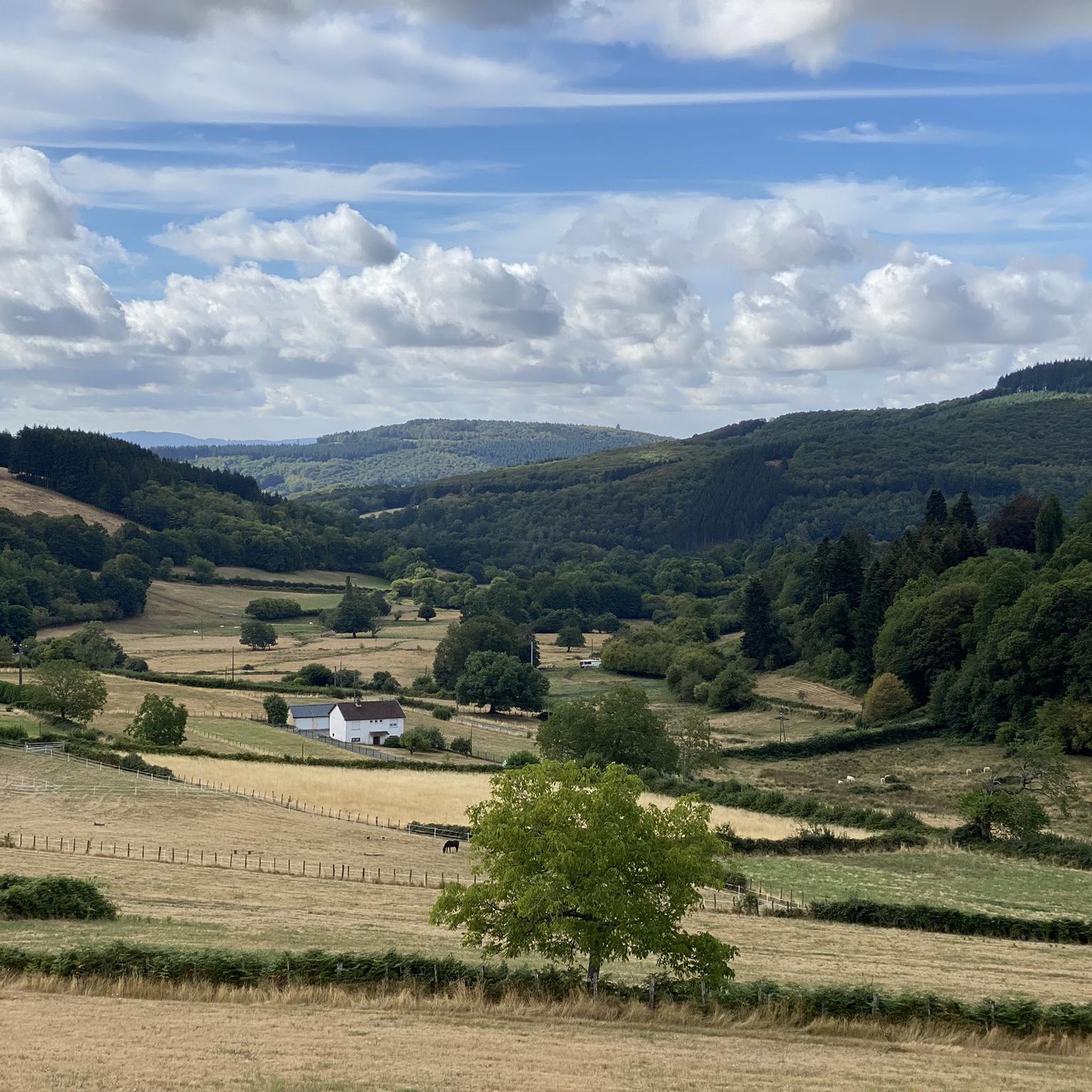
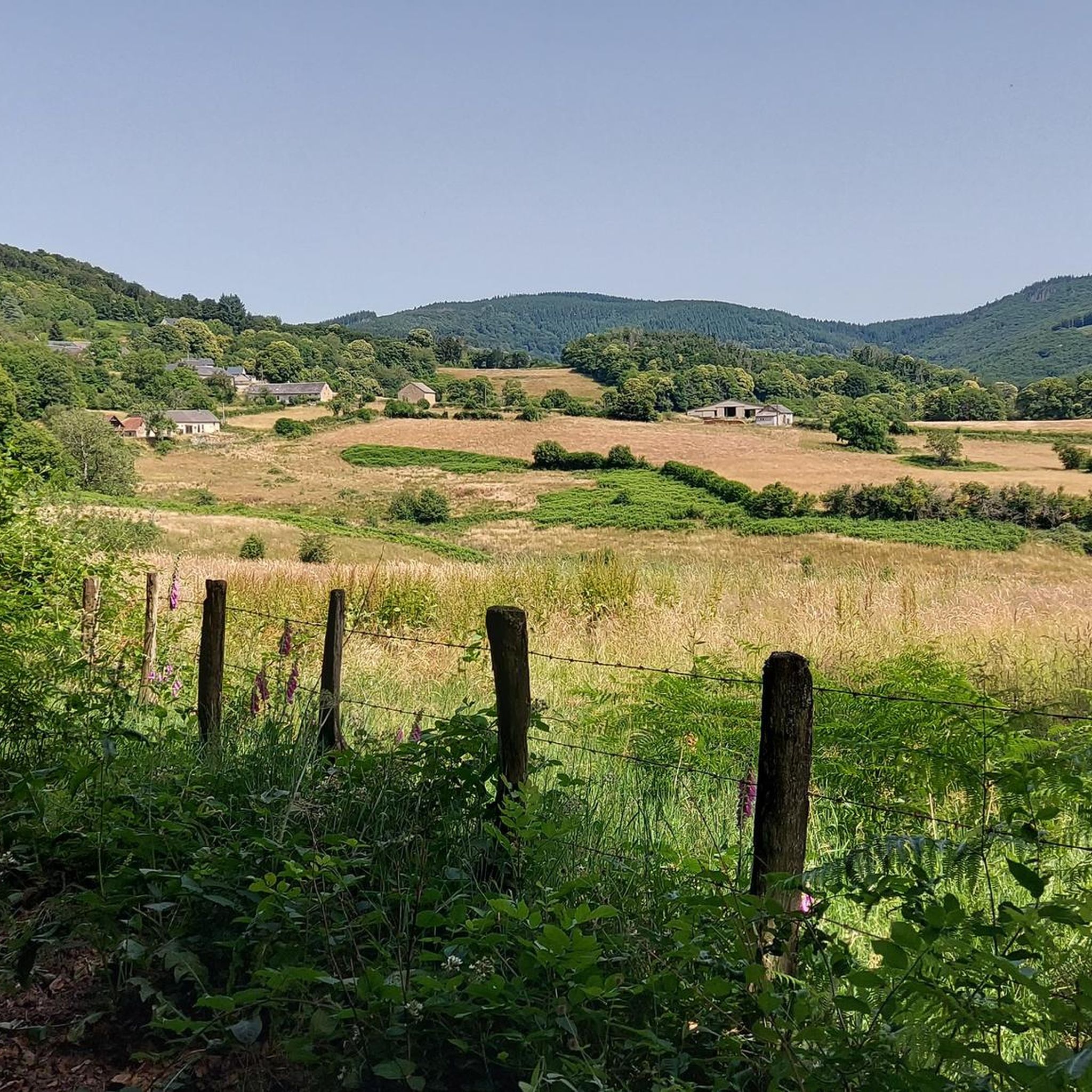
Road cycling around Saint-Prix is defined by its varied terrain, including rolling hills and significant elevation changes, particularly within the Morvan Regional Natural Park. Routes often traverse through forested areas and open landscapes, navigating through passes. You can expect a mix of gradients and scenic views.
Are there any circular road cycling routes in Saint-Prix?
Yes, many of the road cycling routes around Saint-Prix are designed as loops. For example, the Rebout Pass – Haut-Folin Pass loop from Vermenot is a popular moderate circular route. Another option is the Descent from Haut-Folin – Haut-Folin Pass loop from Saint-Prix, which also offers a return loop with varied gradients.
What are some notable natural attractions I can see near the road cycling routes?
The Saint-Prix area is rich in natural beauty. You might encounter highlights such as the beautiful Dragne Waterfall, the tranquil La Canche Pond, or the historic Monumental Beech Trees of Bibracte. These natural monuments offer picturesque stops along your ride.
What historical or cultural sites can I explore while road cycling in Saint-Prix?
Beyond the natural landscapes, you can explore interesting sites like the Bibracte Museum, which offers insights into the region's past. The Haut-Folin Pass itself is a significant landmark, and you might also come across the Old Hydroelectric Power Station, showcasing local industrial heritage.
How long do road cycling routes in Saint-Prix typically take to complete?
The duration of road cycling routes in Saint-Prix varies significantly based on distance and difficulty. For instance, a moderate route like the Col du Haut Folin – Haut-Folin Pass loop from Saint-Prix can take around 1 hour 20 minutes. Longer, more difficult routes, such as the Haut-Folin Pass – Liberation Cross loop from Haut Folin, may require over 5 hours to complete.
What do other road cyclists say about the routes in Saint-Prix?
The road cycling routes in Saint-Prix are highly regarded by the komoot community, holding an average rating of 4.8 stars from over 30 reviews. Cyclists often praise the challenging passes, the beauty of the forested sections, and the open country roads that provide a diverse and engaging riding experience.
Are there any routes that offer views or viewpoints?
Many routes in Saint-Prix traverse through areas with excellent views, particularly those that climb to higher elevations or pass through open landscapes. The Haut-Folin Pass, a prominent feature in several routes, is known for its scenic vistas. Routes like the Saint-Prix Village Square – Temple of Janus loop from Saint-Prix also offer diverse scenery.
When is the best time of year for road cycling in Saint-Prix?
Given the region's varied terrain and potential for significant elevation changes, the best time for road cycling in Saint-Prix is typically during the spring, summer, and early autumn months. These seasons offer more favorable weather conditions, making the climbs and descents more enjoyable and safer. Winter can bring colder temperatures and potentially challenging road conditions.
Most popular routes around Saint-Prix
Most popular attractions around Saint-Prix

Get inspired with the komoot mobile app


Explore more
Browse the best Road cycling routes in other regions.
