The best running trails around Colombier-En-Brionnais
4.6
(28)
516
runners
104
runs
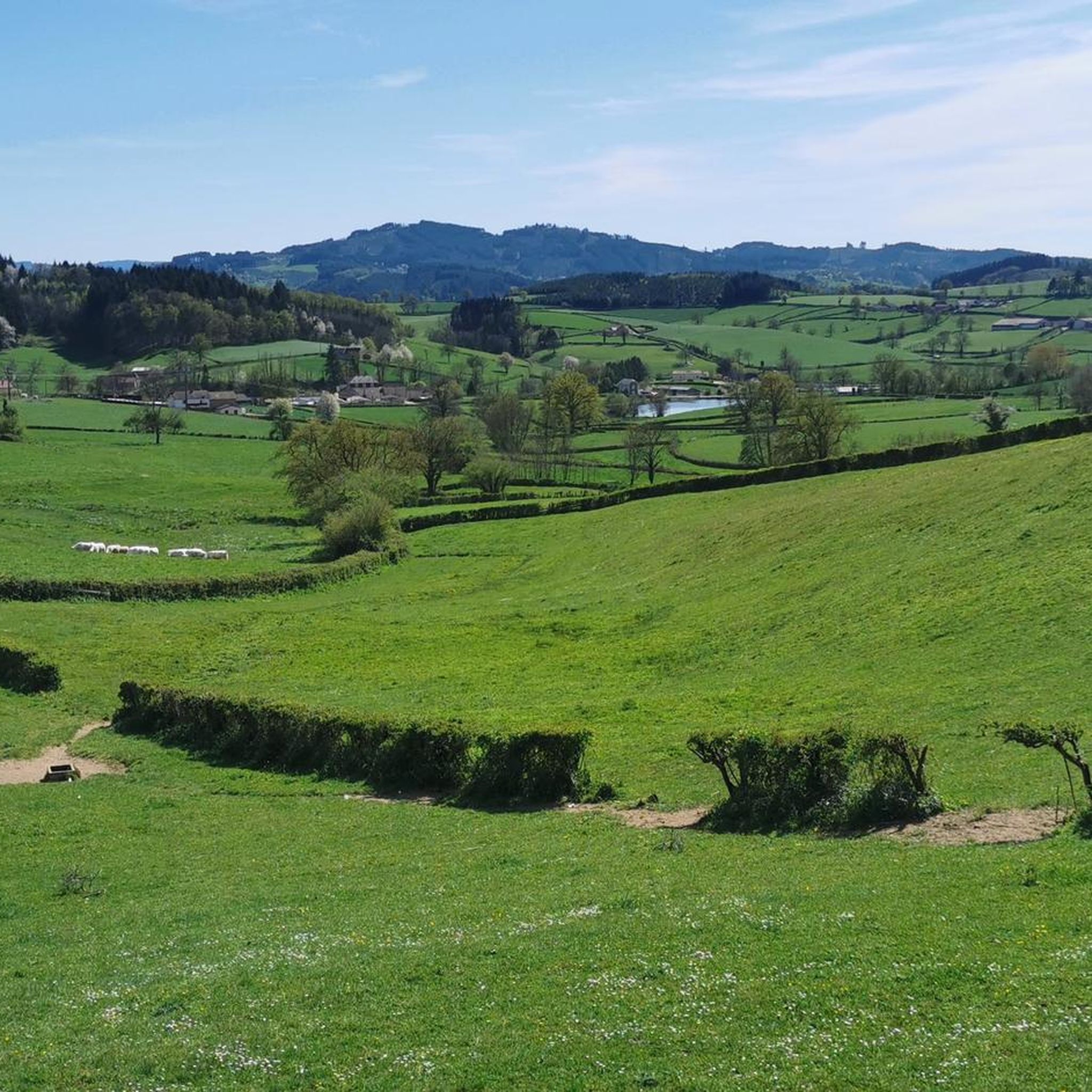
Jogging routes around Colombier-En-Brionnais traverse a serene rural landscape characterized by rolling countryside, gentle hills, and extensive farmland. The region features significant wooded areas, including Bois-Dieu and Bois Bardot, offering shaded trails. Lakes such as Gorges Pierres and Leurres add to the scenic variety, while bocage landscapes provide unique ecological zones for exploration.
Best jogging routes around Colombier-En-Brionnais
- The most popular jogging route is Running loop from Gibles, an 8.1 miles (13.0 km) trail that takes 1 hour 27…
Last updated: July 1, 2026
5.0
(9)
17
runners
8.76km
00:55
90m
90m
Moderate run. Good fitness required. Mostly paved surfaces. Suitable for all skill levels.
10
runners
13.0km
01:27
230m
230m
Moderate run. Good fitness required. Mostly paved surfaces. Suitable for all skill levels.

Sign up for free
9
runners
10.5km
01:12
230m
230m
Moderate run. Good fitness required. Mostly paved surfaces. Suitable for all skill levels.
7
runners
10.1km
01:06
110m
110m
Moderate run. Good fitness required. Mostly paved surfaces. Suitable for all skill levels.
4.0
(1)
9
runners
14.5km
01:42
440m
440m
Hard run. Very good fitness required. Mostly paved surfaces. Suitable for all skill levels.
Get access to more routes and recommendations from other explorers.
Sign up for free
Already have an account?
Our route recommendations are based on thousands of hikes, rides, and runs completed by other people on komoot.
Start today with a free account
Your next adventure awaits.
Login or Signup
Tips from the Community

Opening hours: Open from the beginning of April to the end of October. June, July and August. Open daily from 10:00 to 18:30. April, May, September and October: Open from 14:00 to 18:00 (closed on Mondays and Tuesdays, except on public holidays). Admission prices: Combined ticket (Castle tour & Gardens): €16 for adults, €10 for youths and students, children under 7 years are free. Gardens only: €8 for adults, €7 reduced.
0
0
Mont Saint-Cyr is located in southern Burgundy (Département Saône-et-Loire) in the municipality of Montmelard and, at 771 meters, is the highest point in the Mâconnais mountains. From the summit, there is a wide panoramic view of the surrounding landscapes of Charolais, Brionnais, and Clunisois. In very clear weather, the view to the east even extends to Mont Blanc in the Alps. On the mountain are the historical remains of a 10th-century monastery that was destroyed during the Huguenot Wars. There is a picnic area in the forest, as well as orientation panels that are helpful in identifying the surrounding peaks and valleys.
0
0
Mont Saint-Cyr is located in southern Burgundy (Saône-et-Loire department) in the municipality of Montmelard and, at 771 meters, is the highest point of the Mâconnais mountains. From the summit, there is a wide panoramic view of the surrounding landscapes of Charolais, Brionnais, and Clunisois. In very clear weather, the view extends eastwards to Mont Blanc in the Alps. On the mountain are the historical remains of a 10th-century monastery, which was destroyed during the Huguenot Wars. There is a picnic area in the forest as well as orientation panels that are helpful in identifying the surrounding peaks and valleys.
0
0

Impressive views over southern Burgundy and Haut-Beaujolais
1
0

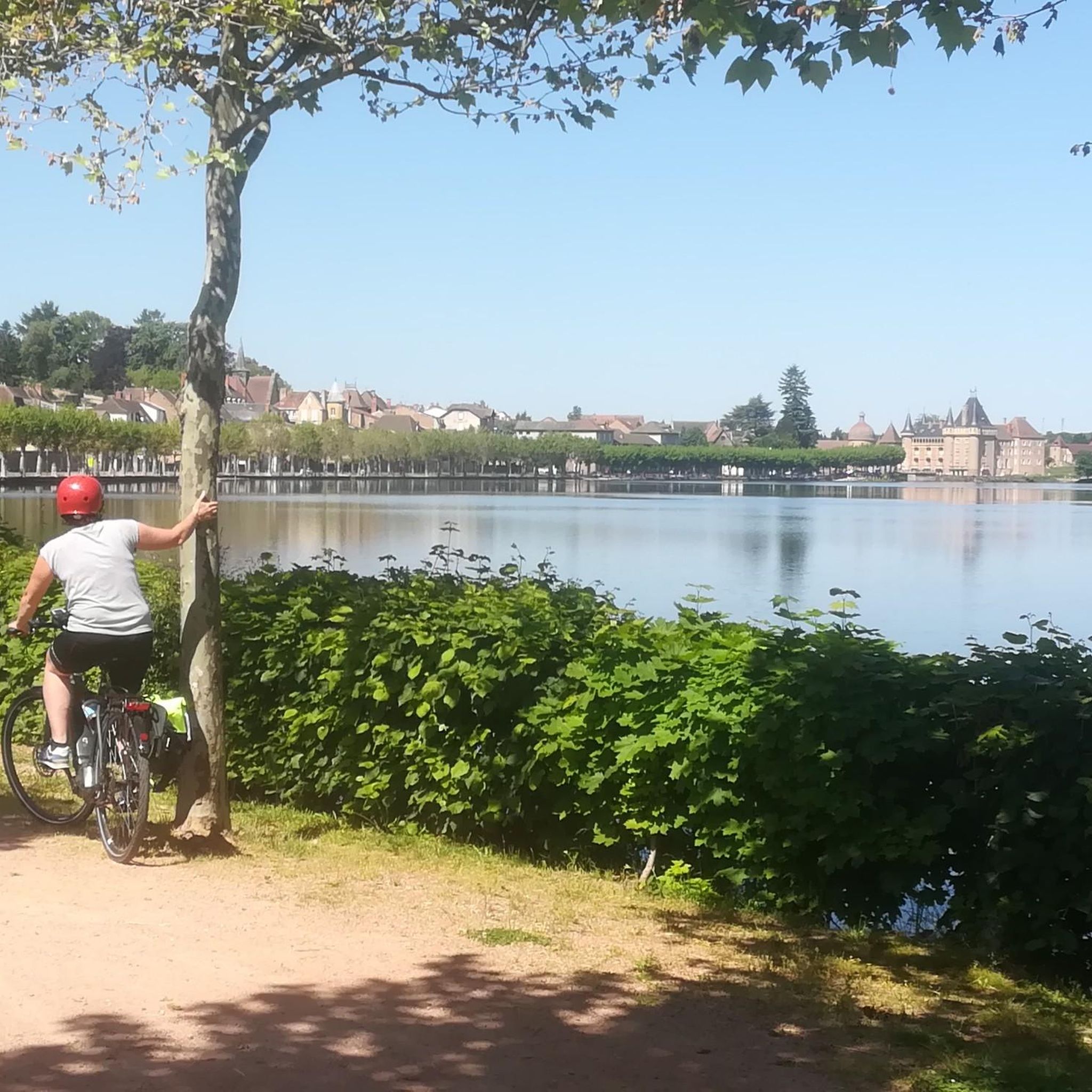
This ceremonial castle was built in the 17th century. A visit to this residence nicknamed “Little Versailles of Charolais” reveals a sumptuous interior. THE. French garden is classified as a Remarkable Garden by the DRAC (Regional Directorate of Cultural Affairs) of Burgundy.
2
0

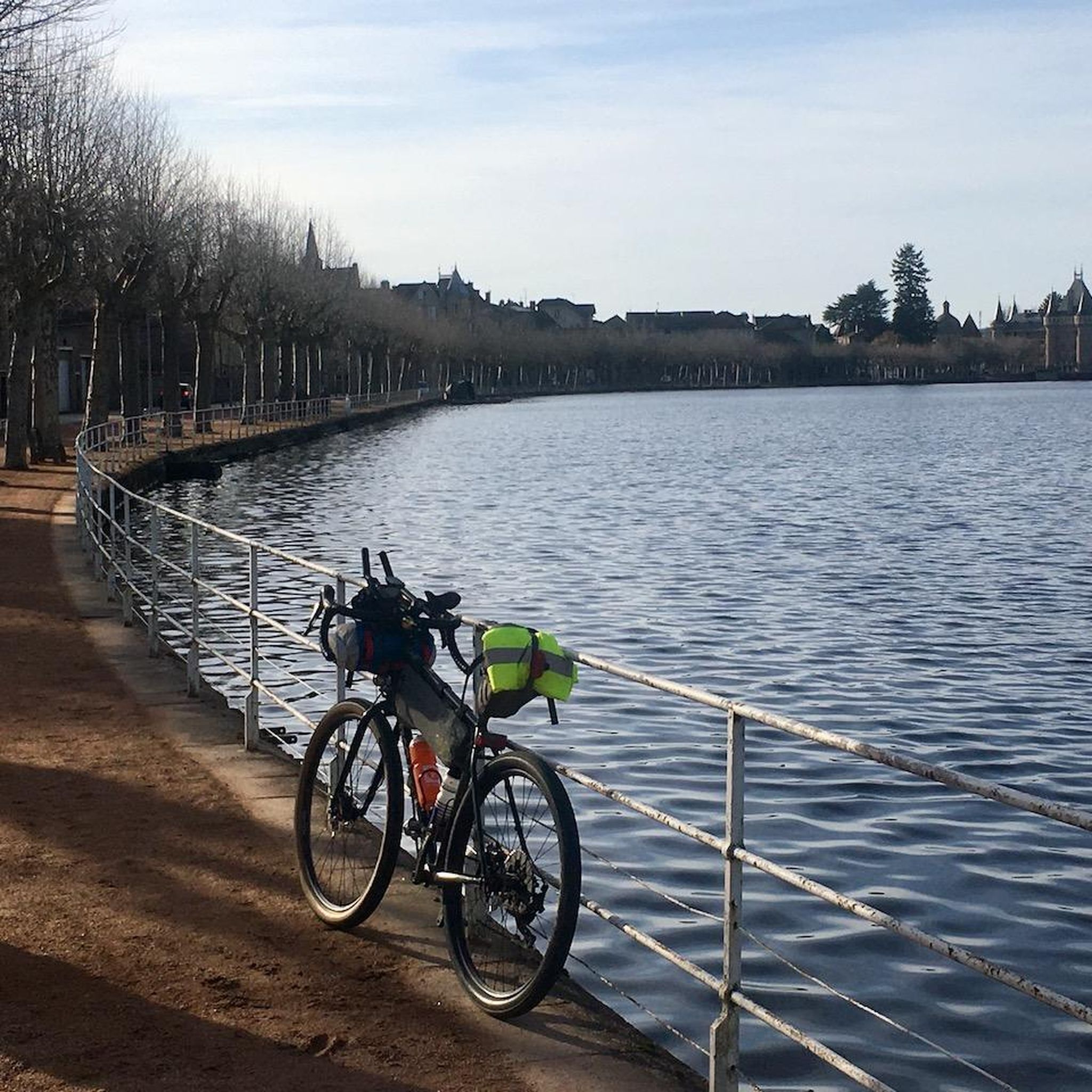
A couple of great bar/restaurants to eat or drink at near the châteaux
0
0

A very steep climb from Montmelard, not much fun by bike. View is good, best very early or in the evening.
1
0

Mont Saint-Cyr, with its 771 m, is the highest point of the Mâconnais mountains. From its summit, you can enjoy a 360° view of the surroundings and even of the Alps when the weather allows it.
3
0
Frequently Asked Questions
How many running routes are available around Colombier-En-Brionnais?
There are over 90 running routes around Colombier-En-Brionnais, offering a wide variety of options for different fitness levels and preferences. The region's diverse landscape, from rolling countryside to wooded areas, provides a scenic backdrop for your runs.
What kind of terrain can I expect on the jogging trails in Colombier-En-Brionnais?
Jogging trails in Colombier-En-Brionnais feature a mix of terrain. You'll find routes winding through serene rolling countryside and extensive farmland, as well as shaded paths in significant wooded areas like Bois-Dieu and Bois Bardot. Some routes also pass by tranquil lakes, offering picturesque water views.
Are there any easy running routes for beginners in the area?
Yes, Colombier-En-Brionnais offers a few easy running routes suitable for beginners. While most routes are moderate, there are 3 designated easy trails that allow you to enjoy the beautiful rural landscape without significant challenge. These are perfect for a gentle introduction to running in the region.
Can I find circular running routes around Colombier-En-Brionnais?
Absolutely! Many of the running routes in Colombier-En-Brionnais are circular, allowing you to start and finish at the same point. For example, the Running loop from Gibles is a popular moderate 8.1-mile (13.0 km) option, and the Étang des Clefs loop from Gibles offers a scenic 6.5-mile (10.5 km) run around the tranquil lake.
What are some scenic highlights or landmarks I might see while running?
While running around Colombier-En-Brionnais, you can encounter various scenic highlights. Routes often pass through charming rural countryside, alongside tranquil lakes like Étang des Clefs, and through peaceful wooded areas. For specific landmarks, consider routes near Mount St. Cyr, or those that offer glimpses of historical elements like the Château de La Clayette in the wider region.
What do other runners say about the trails in Colombier-En-Brionnais?
The running routes in Colombier-En-Brionnais are highly rated by the komoot community, with an average score of 4.5 stars from over 20 reviews. More than 350 runners have explored the area, often praising the serene rural landscapes, varied terrain, and the peaceful atmosphere of the wooded and lakeside paths.
Are there any challenging running trails for experienced runners?
Yes, for experienced runners seeking a challenge, there are 14 difficult routes available. A notable option is the Montagne Saint-Cyr – Mount St. Cyr loop from Gibles, a 9.0-mile (14.5 km) trail that leads through hilly woodlands with significant elevation gain, often taking around 1 hour 42 minutes to complete.
Are the running routes suitable for families?
The rural and tranquil nature of Colombier-En-Brionnais makes it generally suitable for family outings. While specific 'family-friendly' designations aren't always present, the 3 easy routes and many moderate trails with gentle inclines and peaceful surroundings can be enjoyed by families looking for a leisurely run or walk together. The varied landscapes, including woods and lakes, offer engaging scenery for all ages.
What is the best time of year to go running in Colombier-En-Brionnais?
The best time to go running in Colombier-En-Brionnais is typically during spring, summer, and early autumn. These seasons offer pleasant temperatures and lush scenery. The wooded areas provide welcome shade during warmer months, while the rolling countryside is vibrant with flora. Winter running is also possible, but be prepared for cooler temperatures and potentially muddy paths.
Are there any running routes that feature lakes or water features?
Yes, several running routes in the region incorporate beautiful lakes and water features. The Étang des Clefs loop from Gibles is a prime example, circling the tranquil Étang des Clefs and offering picturesque views. Other routes may pass by Lake Gorges Pierres or the carp-filled lake of Leurres, adding to the scenic variety.
Are there any running routes that explore the bocage landscapes of the Brionnais?
Yes, as part of the wider Brionnais region, Colombier-En-Brionnais features unique bocage landscapes, characterized by a mosaic of small fields, hedges, and woods. Many of the running routes naturally traverse these areas, offering a distinct natural beauty and varied terrain for your run, allowing you to experience this characteristic ecological zone.
What is the average distance of running routes in Colombier-En-Brionnais?
The running routes in Colombier-En-Brionnais vary in distance, but many fall into the moderate category, typically ranging from 6 to 9 miles (10 to 14.5 km). For instance, the Running loop from Gibles is 8.1 miles (13.0 km), and the Étang de Rambuteau loop from Montmelard is 7.3 miles (11.7 km).
Most popular routes around Colombier-En-Brionnais
Most popular attractions around Colombier-En-Brionnais

Get inspired with the komoot mobile app


Explore more
Browse the best Running Trails & Routes in other regions.
