The best road cycling routes around Grury
4.5
(15)
888
riders
141
rides
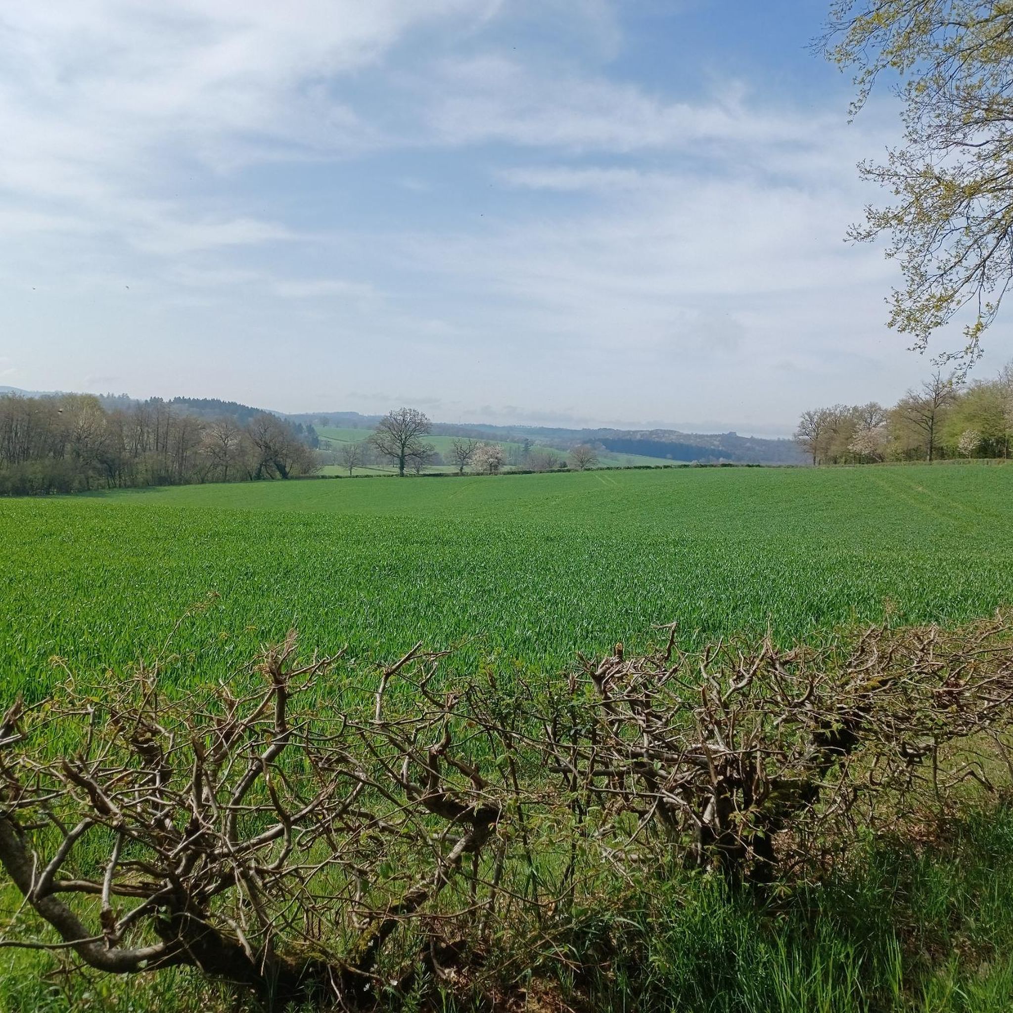
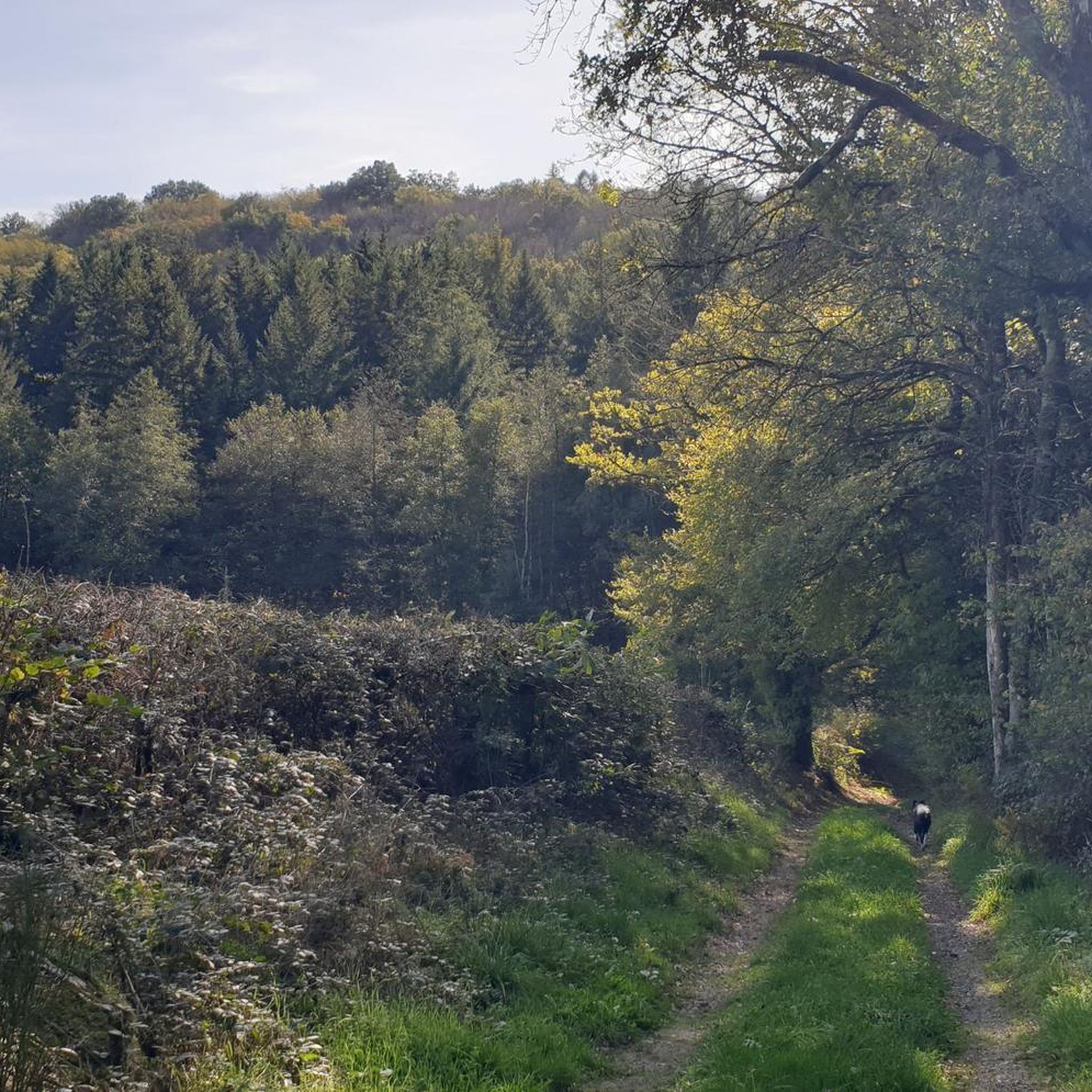
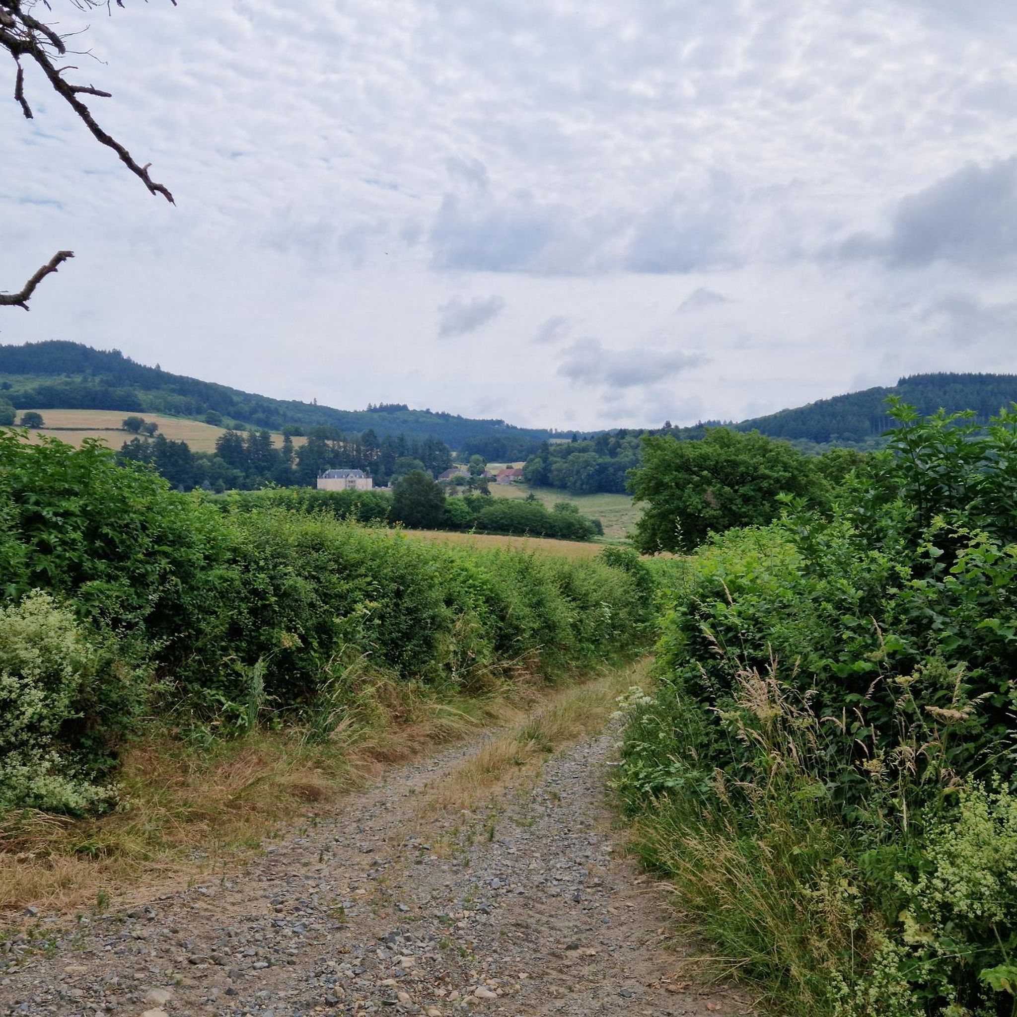
Road cycling around Grury, located in the Saône-et-Loire department of Burgundy-Franche-Comté, offers diverse landscapes for cyclists. The terrain is characterized by rolling hills, lush countryside, and serene river valleys, providing varied routes. Cyclists traverse tranquil rural roads, often with low traffic, passing through hedge-divided pastures and dense forests. The nearby Morvan Regional Natural Park presents a more challenging landscape with significant altitude differences, catering to cyclists seeking climbs.
Best road cycling routes around Grury
- The most popular road cycling route is Col des Montarons – Larochemillay Village Center loop from Cressy-sur-Somme, a 46.8 miles (75.3 km) difficult trail that takes 3 hours 50 minutes to complete. This route features significant elevation gain through the region's rolling hills.
- Another top favourite among local road cyclists is Étang de Montperroux – Signal of Mont loop from La Chapelle-au-Mans, a difficult 49.3 miles (79.3 km) path. This route offers views of the countryside and includes challenging ascents.
- Local road cyclists also love the Vandenesse Castle – Moulins-Engilbert loop from Cressy-sur-Somme, a 70.0 miles (112.7 km) trail leading through rural roads and hedge-divided pastures, often completed in about 5 hours 1 minute.
- Road cycling around Grury is defined by rolling hills, lush countryside, and serene river valleys. The network offers options for different ability levels, from moderate rides through rural areas to difficult climbs in the Morvan.
- The routes in Grury are highly rated by the komoot community with an average score of 4.4 stars from over 14 reviews. More than 797 road cyclists have used komoot to explore Grury's varied terrain.
Last updated: July 3, 2026
8
riders
92.5km
04:45
1,500m
1,500m
Hard road ride. Very good fitness required. Mostly well-paved surfaces and easy to ride.
5.0
(1)
8
riders
79.3km
04:06
1,090m
1,090m
Hard road ride. Very good fitness required. Mostly well-paved surfaces and easy to ride.

Sign up for free
7
riders
113km
05:03
1,070m
1,070m
Hard road ride. Very good fitness required. Mostly well-paved surfaces and easy to ride.
7
riders
99.2km
05:00
1,380m
1,380m
Hard road ride. Very good fitness required. Mostly well-paved surfaces and easy to ride.
7
riders
103km
05:22
1,530m
1,520m
Hard road ride. Very good fitness required. Some segments of this route may be unpaved and difficult to ride.
Get access to more routes and recommendations from other explorers.
Sign up for free
Already have an account?
Our route recommendations are based on thousands of hikes, rides, and runs completed by other people on komoot.
Start today with a free account
Your next adventure awaits.
Login or Signup

Tips from the Community


Here is the route for the ascent of the Col de la Croix de Messire Jean starting from La Tagnière
1
0
Nice climb, tough from Mesvres
0
0

The Signal de Mont is located at an altitude of 469 meters. The observation tower is 12 meters high and offers a 360° panorama of the rolling Burgundy landscape. You can decipher the view thanks to the eight orientation tables. At the foot of the tower, you will find the remains of a World War II aircraft defense post.
0
0


Beautiful, recommended walk. Small problem: the indicated right turn at km 6.44 is a non-accessible private road. Simply continue and turn right at km 7.32 to find the proposed road again after +/- 150 m (uphill).
2
0

Pretty village typical of the region with several shops, cafes and restaurants. All that remains are the ramparts and two partially preserved buildings of the Moulins-Engilbert castle which dates from the 10th to the 15th centuries.
0
0
While this bridge allows you to cross the Aron River with a beautiful view of the river, when you look up you cannot ignore the statue of Notre-Dame du Nivernais which dominates from its abutment in the center of the city.
0
0
Frequently Asked Questions
How many road cycling routes are available around Grury?
There are over 140 road cycling routes available around Grury, offering a wide range of options for different skill levels. You'll find everything from moderate rides through rural areas to more challenging climbs.
What kind of terrain can I expect when road cycling near Grury?
The terrain around Grury is characterized by rolling hills, lush countryside, and serene river valleys. You'll often traverse tranquil rural roads with low traffic, passing through hedge-divided pastures and dense forests. For more challenging rides, the nearby Morvan Regional Natural Park offers steep, narrow roads and significant altitude differences.
Are there options for beginner or easy road cycling routes in the Grury area?
While many routes feature rolling hills, the Saône-et-Loire department, where Grury is located, is known for its extensive network of Greenways (Voie Verte) and Blueways (Voie Bleue). These car-free routes, often converted from disused railway lines or canal towpaths, offer accessible and safe cycling experiences, ideal for beginners or those seeking a more relaxed ride. The EuroVelo 6 also offers relatively flat sections along river valleys.
Where can I find more challenging road cycling routes around Grury?
For experienced cyclists seeking climbs, the nearby Morvan Regional Natural Park provides a more challenging landscape. Routes like the 'Morvan des Sommets' can take you up to Mont Beuvray (821m), Mont Préneley (856m), and Haut Folin (901m), offering substantial ascents and rewarding panoramic views. Routes such as Col des Montarons – Larochemillay Village Center loop from Cressy-sur-Somme also feature significant elevation gain.
Are there any long-distance or multi-day cycling routes accessible from Grury?
Yes, Grury's location provides access to several major cycling networks. The EuroVelo 6 (the 'Rivers Route') passes through the Saône-et-Loire department, offering a long-distance journey largely following river valleys and canals. You can also connect to sections of the Tour de Bourgogne à Vélo, an extensive loop that encompasses various Burgundian itineraries, including canal towpaths and country roads, perfect for multi-day exploration.
What are some scenic highlights or attractions I can see along road cycling routes near Grury?
Road cycling routes near Grury offer views of lush countryside, charming villages, and historic sites. You might pass by the Medieval quarter of Bourbon-Lancy, the Luzy Church, or the scenic Signal of Mont. The region also features beautiful natural spots like Breuil Pond. Many routes showcase the rich cultural heritage of Burgundy, including châteaux and Romanesque churches.
Are there any circular road cycling routes available?
Yes, many road cycling routes around Grury are designed as loops, allowing you to start and finish in the same location. For example, the Étang de Montperroux – Signal of Mont loop from La Chapelle-au-Mans is a popular circular option. The region's extensive network also allows for creating custom circular tours through komoot.
Is the Véloire (V71) route accessible from Grury, and what does it offer?
The Véloire (V71) route, which focuses on the upper reaches of the Loire River, is accessible from the Grury area, particularly around Paray-le-Monial, which is about 30 km away. This route utilizes minor roads through hedge-divided pastures and greenways beside the Canal de Roanne à Digoin, offering a green and tranquil cycling experience through villages and past châteaux. It seamlessly connects with EuroVelo 6. You can find more details about the Véloire route on France Vélo Tourisme.
What is the best time of year for road cycling in the Grury region?
The change of seasons adds to the appeal of cycling in Grury. Spring brings blooming nature, while autumn offers vibrant colors, making these seasons particularly pleasant for rides. The summer months are also popular, but it's advisable to start earlier in the day to avoid the midday heat. Winter cycling is possible, but be prepared for cooler temperatures and potentially wet conditions.
What do other cyclists say about road cycling in Grury?
The road cycling routes around Grury are highly rated by the komoot community, with an average score of 4.4 stars from over 14 reviews. Cyclists often praise the varied terrain, from rolling hills to serene river valleys, and the tranquil rural roads with low traffic, which provide an enjoyable and immersive experience.
Are there family-friendly road cycling options in the Saône-et-Loire department?
Yes, the Saône-et-Loire department is well-suited for family cycling, particularly due to its extensive network of Greenways (Voie Verte) and Blueways (Voie Bleue). These car-free paths, often along canals or disused railway lines, provide safe and flat surfaces, perfect for families with children. The EuroVelo 6 also offers many gentle sections suitable for all ages. For more information on greenways in Southern Burgundy, you can visit Burgundy Tourism.
Where can I find parking for road cycling routes near Grury?
Many villages and towns near Grury, including starting points for popular routes, offer public parking facilities. For specific routes, it's often possible to find parking near trailheads or in the centers of small towns like Cressy-sur-Somme or La Chapelle-au-Mans, which are common starting points for komoot tours such as Étang Neuf – Le Theurot du Beau loop from Croix du Gendarme.
Most popular attractions around Grury

Get inspired with the komoot mobile app


Explore more
Browse the best Road cycling routes in other regions.
