The best walks and hikes around Saint-Maurice-Des-Champs
4.5
(234)
1,014
hikers
108
hikes
Hiking around Saint-Maurice-Des-Champs, located in the Saône-et-Loire department of the Bourgogne-Franche-Comté region, offers diverse outdoor experiences. The terrain features a mix of river plains, forested landscapes, and elevated rock formations, providing varied scenery for hikers. The region is characterized by its natural beauty and rich cultural heritage, with routes often passing through or near historical sites.
Best hiking trails around Saint-Maurice-Des-Champs
- The most popular hiking route is Saint-Gengoux-le-National and Sercy Castle Loop, an easy 4.4 miles (7.1 km) trail…
Last updated: July 6, 2026
4.6
(7)
21
hikers
7.05km
01:54
90m
90m
Easy hike. Great for any fitness level. Easily-accessible paths. Suitable for all skill levels.
5.0
(2)
15
hikers
Moderate hike. Good fitness required. Easily-accessible paths. Suitable for all skill levels.

Sign up for free
4.8
(9)
26
hikers
Moderate hike. Good fitness required. Easily-accessible paths. Suitable for all skill levels.
4.8
(9)
26
hikers
Moderate hike. Good fitness required. Easily-accessible paths. Suitable for all skill levels.
4.8
(5)
16
hikers
10.9km
03:08
260m
260m
Moderate hike. Good fitness required. Easily-accessible paths. Suitable for all skill levels.
Get access to more routes and recommendations from other explorers.
Sign up for free
Already have an account?
Our route recommendations are based on thousands of hikes, rides, and runs completed by other people on komoot.
Start today with a free account
Your next adventure awaits.
Login or Signup
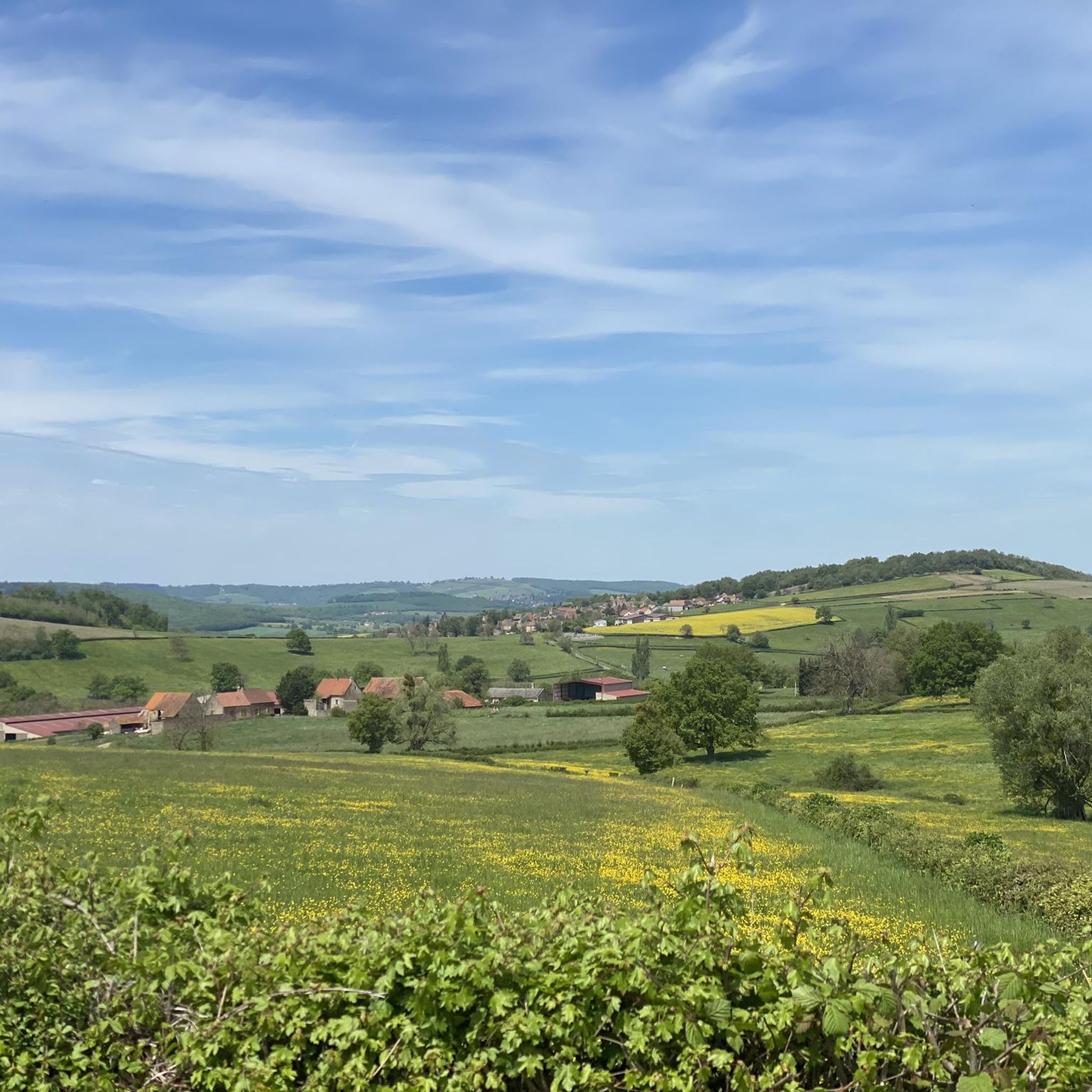
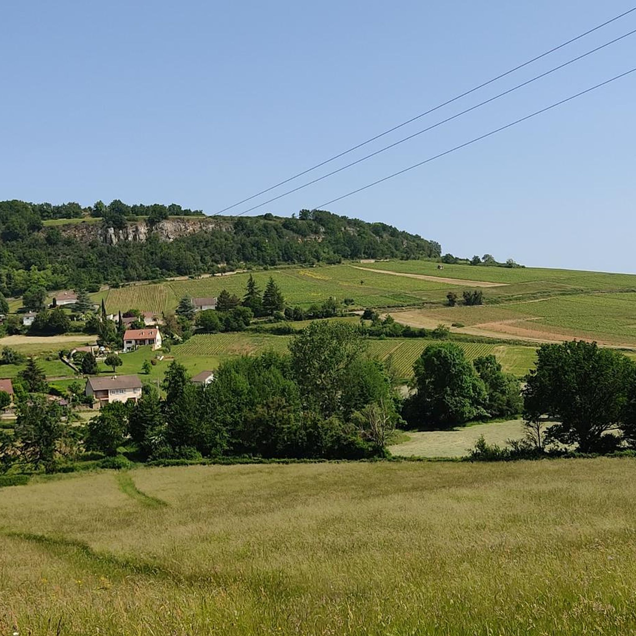
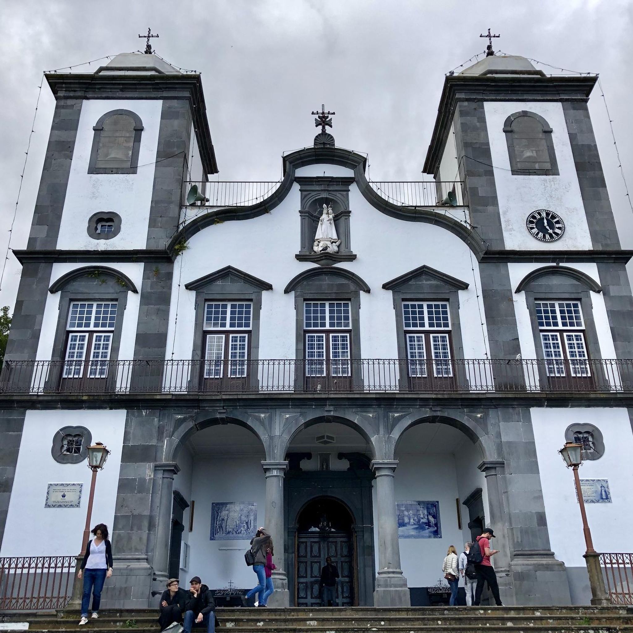
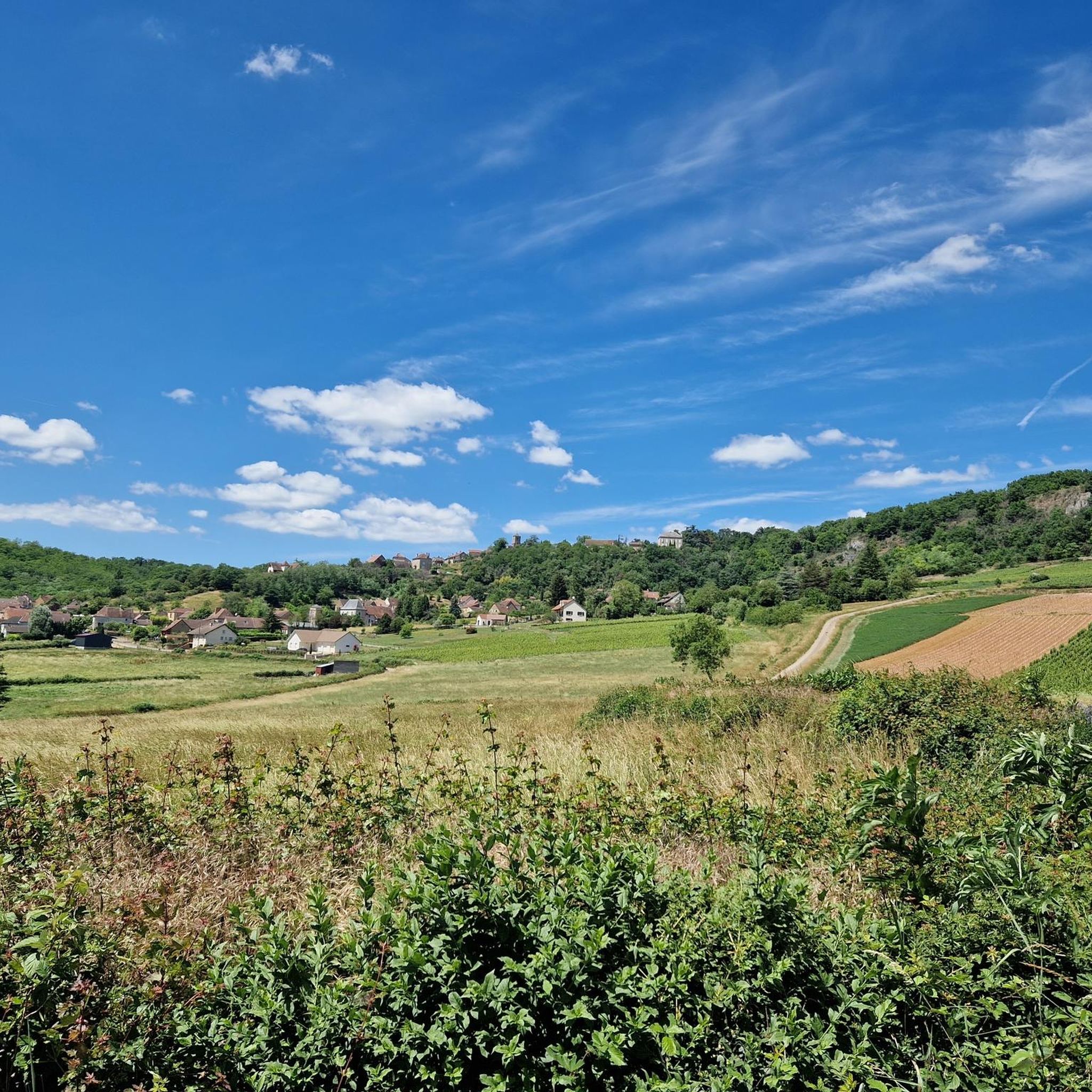

Tips from the Community

Superb view, pleasant place for a break. Presence of a fitness trail.
1
0


At the rest area with the Madonna statue there is a drinking water fountain right at the entrance on the right.
0
0


Superb little town, all shops and services.
2
0

Picnic table, or lawn on the other side of the road, for those who want to picnic with a view. Few tourists even on a long weekend!
1
0

Saint-Gengoux-le-National owes its medieval town to the dual supervision exercised by the Abbey of Cluny and by King Louis VII from the 12th century. Walking through the streets of this city is a real pleasure, it has managed to preserve its urban, architectural and landscape heritage.
3
0
Frequently Asked Questions
How many hiking trails are available around Saint-Maurice-Des-Champs?
There are over 100 hiking trails around Saint-Maurice-Des-Champs, offering a diverse range of experiences for all skill levels. The komoot community has explored over 107 routes in the area.
What kind of terrain can I expect on hikes in the Saint-Maurice-Des-Champs region?
The region around Saint-Maurice-Des-Champs features a varied landscape, including picturesque river plains, dense forested areas, and elevated rock formations. This mix provides diverse scenery, from gentle riverside walks to more challenging ascents with panoramic views.
Are there any easy hiking trails suitable for beginners or families?
Yes, there are 35 easy hiking trails in the area. A great option is the Saint-Gengoux-le-National and Sercy Castle Loop, an easy 4.4-mile (7.1 km) trail that offers views of the countryside and passes by the historic Sercy Castle.
What historical sites or landmarks can I discover while hiking?
The region is rich in history. You can explore the medieval town of Saint-Gengoux-le-National, known for its preserved heritage. The Around Mont Péjus and the Roman oppidum loop specifically includes historical elements like a Roman oppidum. Additionally, the Ruins of Saint-Hippolyte Church are an 11th-century site offering historical interest and potentially scenic views.
Are there any castles or grand estates to visit near the hiking routes?
Absolutely. The magnificent Cormatin Castle, an early 17th-century estate with grand interiors and extensive gardens, is about 11 km from Saint-Maurice-Des-Champs. You can also find Sercy Castle, a well-preserved medieval castle, along some routes like the Saint-Gengoux-le-National and Sercy Castle Loop.
What do other hikers enjoy most about hiking in Saint-Maurice-Des-Champs?
The area is highly rated by the komoot community, with an average score of 4.5 stars from over 200 reviews. Hikers often praise the varied terrain, which includes river plains, forested areas, and elevated viewpoints, as well as the opportunity to combine natural beauty with rich cultural heritage.
Are there any circular hiking routes available?
Yes, many routes in the area are designed as loops, allowing you to start and end in the same location. Examples include the La lavoir The washhouse – Historic Washhouse loop from Saint-Gengoux-le-National and the Historic Washhouse – The Culles-les-roches cave loop from Culles-les-Roches.
Can I find hikes that feature natural water elements like rivers or lakes?
The region is characterized by its waterways, including the confluence of the Seille and Saône rivers. Many trails offer picturesque settings along these rivers, providing opportunities for riverside walks and enjoying local flora and fauna. While specific routes are not listed, the natural features suggest ample opportunities for water-adjacent hikes.
What is the best time of year to go hiking in Saint-Maurice-Des-Champs?
The Bourgogne-Franche-Comté region generally offers pleasant hiking conditions from spring through autumn. Spring brings blooming landscapes, while autumn showcases vibrant fall foliage. Summer is also suitable, though it can be warmer. Always check local weather conditions before heading out.
Are there any challenging trails for experienced hikers?
Yes, for more experienced hikers, there are 6 difficult trails available. Additionally, there are 66 moderate trails that offer a good challenge without being overly strenuous, such as the Saint-Gengoux-le-National – Saint-Gengoux Church loop, which covers over 10 km with significant elevation gain.
Is public transport available to access hiking trailheads?
While specific public transport links directly to all trailheads in Saint-Maurice-Des-Champs are not detailed, the region's smaller communes often rely on local bus services or personal vehicles. It's advisable to check local transport schedules for Saint-Gengoux-le-National or other nearby towns if you plan to use public transport.
Are there options for parking near the hiking trails?
Many trailheads, especially those starting from towns like Saint-Gengoux-le-National, typically offer designated parking areas. For routes in more rural settings, roadside parking might be available. It's always recommended to check specific route details on komoot for parking information before your hike.
Most popular routes around Saint-Maurice-Des-Champs
Most popular attractions around Saint-Maurice-Des-Champs

Get inspired with the komoot mobile app


Explore more
Browse the best Hikes in other regions.
