The best mountain hikes around Bengel
5.0
(31)
136
hikers
8
hikes
Mountaineering routes around Bengel traverse the steep, vineyard-clad slopes of the Moselle Valley. The region is characterized by challenging via ferrata sections and exposed rock faces, offering a unique mountaineering experience. Trails often follow the winding Moselle River, providing panoramic views of the valley and surrounding hills.
Best mountaineering routes around Bengel
- The most popular mountaineering route is Calmont Via Ferrata Entrance – View of Ediger-Eller loop from Bremm, a 3.5 miles (5.6 km) trail that takes 1 hour…
Last updated: June 26, 2026
4.9
(10)
37
hikers
5.59km
01:57
150m
150m
Hard mountaineering route. Great for any fitness level. Sure-footedness, sturdy shoes and alpine experience required.
5.0
(10)
41
hikers
10.8km
03:49
380m
380m
Hard mountaineering route. Good fitness required. Sure-footedness, sturdy shoes and alpine experience required.

Sign up for free
11
hikers
Hard mountaineering route. Very good fitness required. Sure-footedness, sturdy shoes and alpine experience required.
5.0
(1)
4
hikers
5.84km
02:06
320m
320m
Moderate mountaineering route. Good fitness required. Mostly accessible paths. Sure-footedness required.
8
hikers
13.2km
03:54
320m
320m
Hard mountaineering route. Good fitness required. Sure-footedness, sturdy shoes and alpine experience required.
Get access to more routes and recommendations from other explorers.
Sign up for free
Already have an account?
Our route recommendations are based on thousands of hikes, rides, and runs completed by other people on komoot.
Start today with a free account
Your next adventure awaits.
Login or Signup
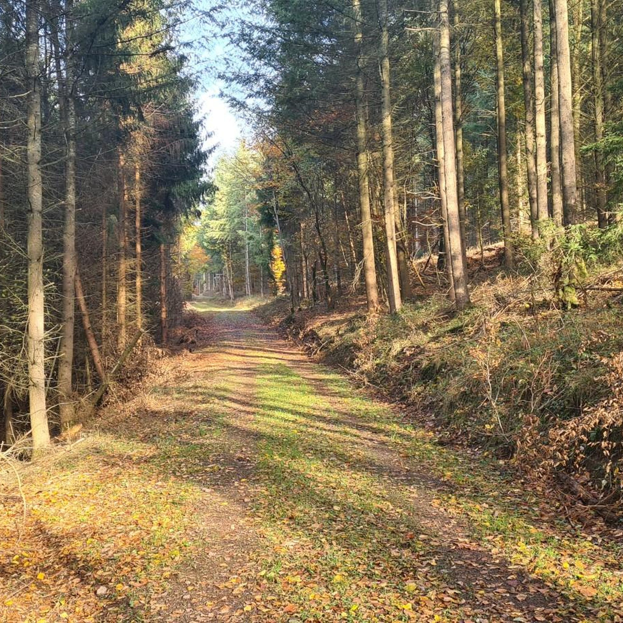
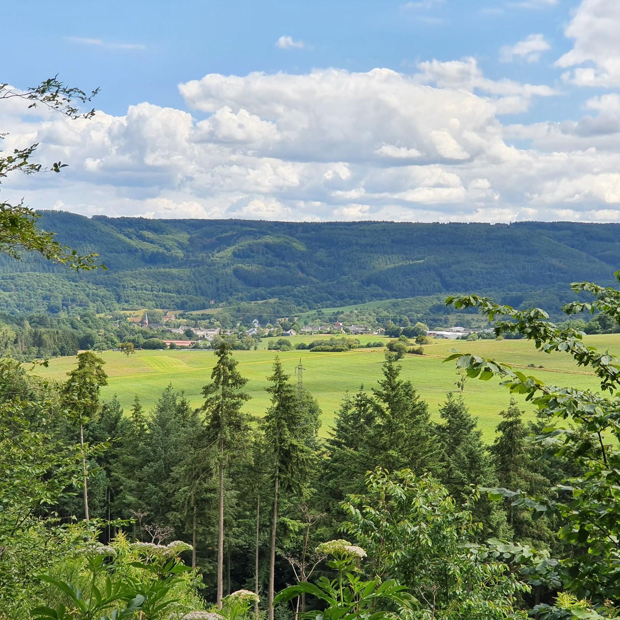
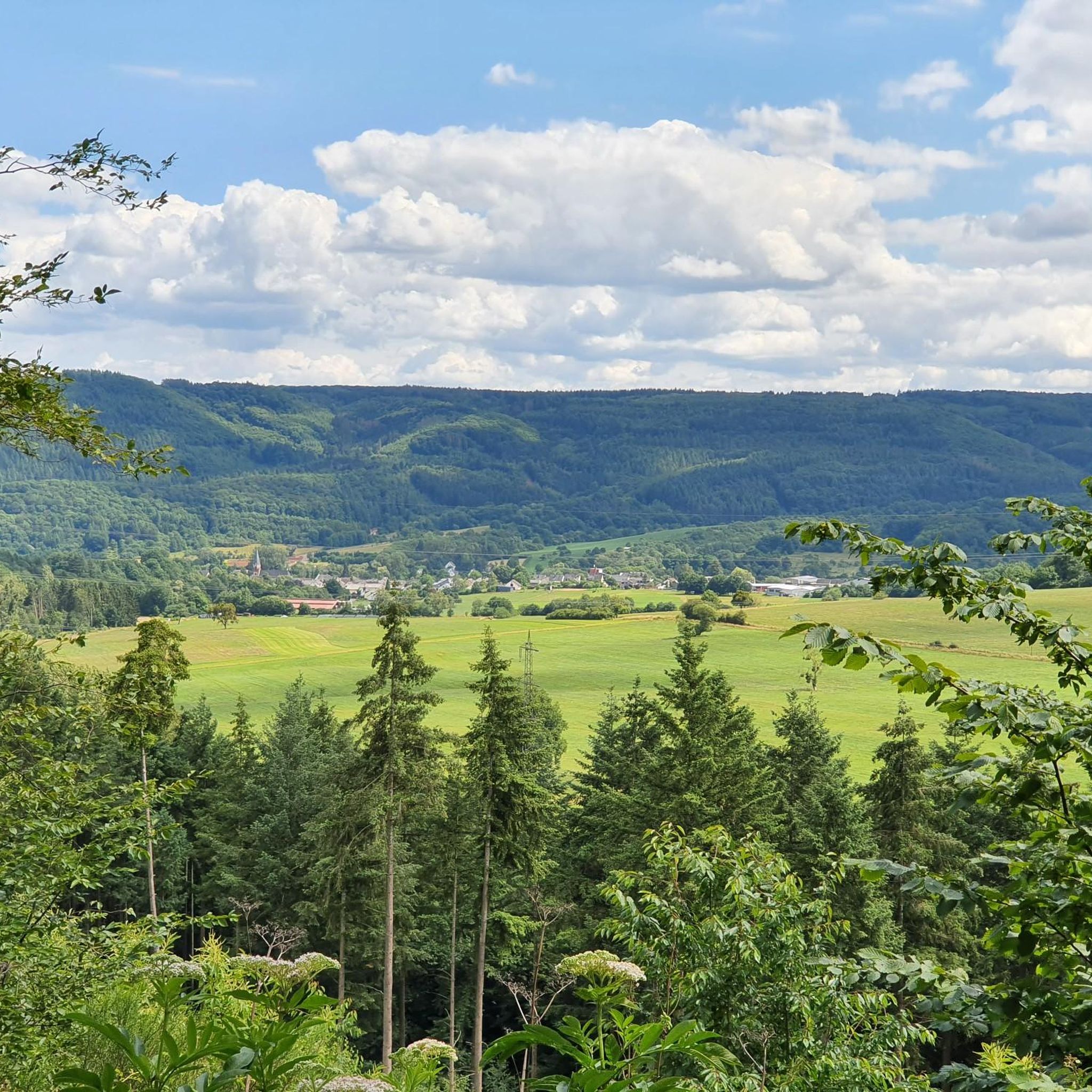
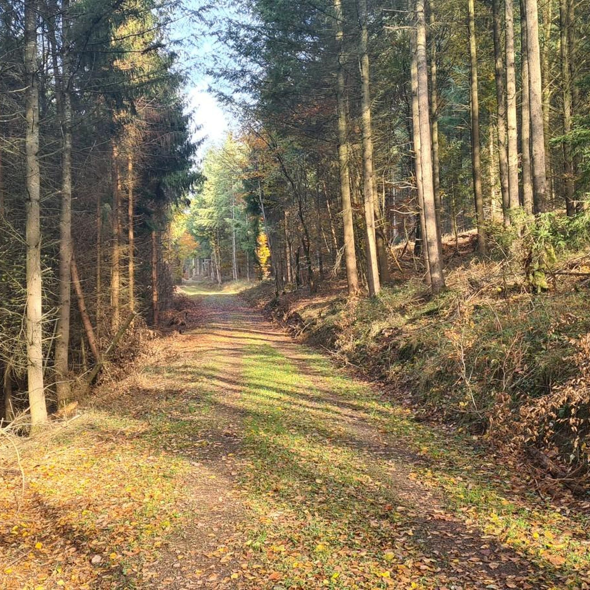
Tips from the Community


"Zeller Schwarze Katz" Roundabout Figure, Zell On August 18, 2012, the new oversized Zeller Schwarze Katz sculpture was finally unveiled on the new roundabout with an opening ceremony hosted by the Wine Queen. Standing 5 meters tall, it now raises its glass to the sky, toasting the crowd. So, I can now let the cat out of the bag and reveal the final secret of my pyramid, in whose (weather) protection this oversized sculpture, weighing almost 9 tons, was created since November of last year. To ensure smooth transport from the studio's outdoor area to Zell on the Moselle, certain dimensions and weights could not be exceeded. Therefore, the iron-reinforced foundation plate with a diameter of 2.5 meters and the almost 1.90-meter-long half wine barrel on top was created first. The upper, second half of the barrel is the base plate for the actual cat sculpture. The three iron reinforcements for the tail and legs were cast into it, each consisting of a 70 mm outer tube, an inserted 50 mm inner tube, and an inserted 20 mm steel rod, which were cast into each other. After the legs and tail were constructed and finished, the body block, also made of iron, was constructed and then finished. The surfaces consist of a black or dark brown cement coating. The gray base area, still visible in the photos, is filled with fill to create the core of a typical Mosel vineyard, from which this Zell Black Cat welcomes visitors. Text: Atelier FFreiburg https://www.rlp-tourismus.com/de/infosystem/infosystem/Zeller-Schwarze-Katz-Kreiselfigur_Zell/infosystem.html
15
0

There is a wine bar at the cross at the top of Calmont. Taste the wines of Calmont where they are grown. Enjoy the sparkling Riesling wines that are grown here, with homemade cakes and small snacks. The panoramic view of the steepest vineyard in Europe and the Mosel loop is included for free.
2
0

From up here you have a great view of Zell and the Moselle
5
0

Highly recommended. Possible without safety equipment. Sure-footedness and a head for heights are required. It can be quite hot here in summer.
1
0

Another beautiful place on the Moselle. A visit to Zell is worthwhile.
6
0

Connection between the districts of Zell↔️Kaimt. Pedestrians and cyclists are advised to push their bikes as indicated by signs. Mutual consideration and everyone can reach their destination stress-free 🫱🏻🫲🏼
5
0
It's beautiful up here, with a bit of luck you can watch paragliders taking off.
3
0
Frequently Asked Questions
What kind of terrain can I expect on mountaineering routes around Bengel?
Mountaineering routes around Bengel are characterized by steep, vineyard-clad slopes of the Moselle Valley. You'll encounter challenging via ferrata sections and exposed rock faces, offering a unique and demanding experience. Trails often follow the winding Moselle River, providing panoramic views of the valley and surrounding hills.
Are there any easy mountaineering routes in Bengel?
While many routes in Bengel are considered difficult due to the challenging terrain, there are some moderate options available. For example, the Calmont Summit – Calmont Summit Cross loop from Bremm is a moderate 5.8 km route that takes around 2 hours to complete, offering a less strenuous but still rewarding experience.
What are some of the longer mountaineering routes in the Bengel area?
For those seeking a longer challenge, the View of Ediger-Eller – Calmont Via Ferrata Entrance loop from Ediger-Eller is a difficult 14.2 km trail, typically completed in about 5 hours 7 minutes. Another substantial option is the Zell (Moselle) – Collisturm loop from Zell (Mosel), which spans 13.3 km and takes approximately 3 hours 54 minutes.
Are there any circular mountaineering routes available?
Yes, many of the mountaineering routes around Bengel are designed as loops. Examples include the Calmont Via Ferrata Entrance – View of Ediger-Eller loop from Bremm, the Calmont Summit – View of Ediger-Eller loop from Ediger-Eller, and the Calmont Summit – Calmont Summit Cross loop from Bremm, all offering circular paths.
What kind of views can I expect on these routes?
The routes frequently offer expansive views over the Moselle River and its picturesque valley. From points like the Calmont Summit, you can enjoy panoramic vistas of the surrounding vineyards and the charming village of Ediger-Eller.
What do other mountaineers say about the routes in Bengel?
The mountaineering routes in Bengel are highly rated by the komoot community, with an average score of 5.0 stars from over 30 reviews. Users often praise the unique challenge of the via ferrata sections, the stunning views of the Moselle Valley, and the well-maintained trails.
Are there any interesting natural features or landmarks to see along the routes?
Yes, the region offers several points of interest. You can find viewpoints like the View of Zell and the Schwarze Katz vineyard. For those interested in geological features, there are several maars (volcanic lakes) nearby, such as Immerath Maar and Trautzberger Maar. Additionally, you might encounter caves like the Elf Grotto and Elbesbach Waterfall.
Can I find any waterfalls or lakes near the mountaineering trails?
While the primary focus is on the Moselle River, the broader Bengel area features several beautiful lakes, including Immerath Maar, Lake Sterenbach, and Trautzberger Maar. You can also discover the Elbesbach Waterfall near the Elf Grotto.
What is the best time of year for mountaineering in Bengel?
The Moselle Valley region is generally pleasant for outdoor activities from spring through autumn. Spring offers blooming vineyards, while autumn provides vibrant fall colors. Summer can be warm, but the river breeze often provides relief. It's always advisable to check local weather forecasts before heading out, especially given the exposed sections of some routes.
Are there any specific challenges or unique features on these routes?
Yes, the routes are known for their challenging via ferrata sections, particularly on the Calmont. These sections involve fixed cables, ladders, and steps, requiring a good head for heights and appropriate gear. The steep vineyard paths also present a unique physical challenge.
How many mountaineering routes are there in Bengel?
There are 8 mountaineering routes around Bengel listed in this guide, offering a range of options from moderate to difficult. This includes 3 moderate and 5 difficult trails.
Are there any historical or cultural sites along the trails?
While the routes primarily focus on natural beauty and mountaineering challenges, the Moselle Valley is rich in history. You might encounter small chapels, such as the Kreuzweg Chapel Merl, or remnants of historical structures, reflecting the region's long viticultural and cultural heritage.
Most popular routes around Bengel
Most popular attractions around Bengel

Get inspired with the komoot mobile app


Explore more
Browse the best Mountain Hikes & Routes in other regions.
