The best road cycling routes around Montauban-De-Picardie
4.5
(40)
986
riders
59
rides
Road cycling routes around Montauban-De-Picardie traverse the gentle plains of the Somme department in Hauts-de-France. The area features agricultural fields, river valleys, and historical sites, offering varied terrain for road cyclists. Routes often follow quiet country roads or converted towpaths alongside the Somme River and Canal de la Somme, with some moderate elevation changes. The landscape includes features like the tranquil Somme River and significant World War I landmarks.
Best road cycling routes around Montauban-De-Picardie
- The most popular road cycling…
Last updated: July 15, 2026
14
riders
23.2km
02:16
110m
110m
Moderate road ride. Good fitness required. Mostly well-paved surfaces and easy to ride.
8
riders
68.0km
03:18
460m
460m
Moderate road ride. Good fitness required. Mostly well-paved surfaces and easy to ride.

Sign up for free
5
riders
Easy road ride. Great for any fitness level. Mostly well-paved surfaces and easy to ride.
5
riders
Moderate road ride. Great for any fitness level. Some segments of this route may be unpaved and difficult to ride.
8
riders
14.8km
03:24
80m
80m
Moderate road ride. Good fitness required. Mostly well-paved surfaces and easy to ride.
Get access to more routes and recommendations from other explorers.
Sign up for free
Already have an account?
Our route recommendations are based on thousands of hikes, rides, and runs completed by other people on komoot.
Start today with a free account
Your next adventure awaits.
Login or Signup



Tips from the Community

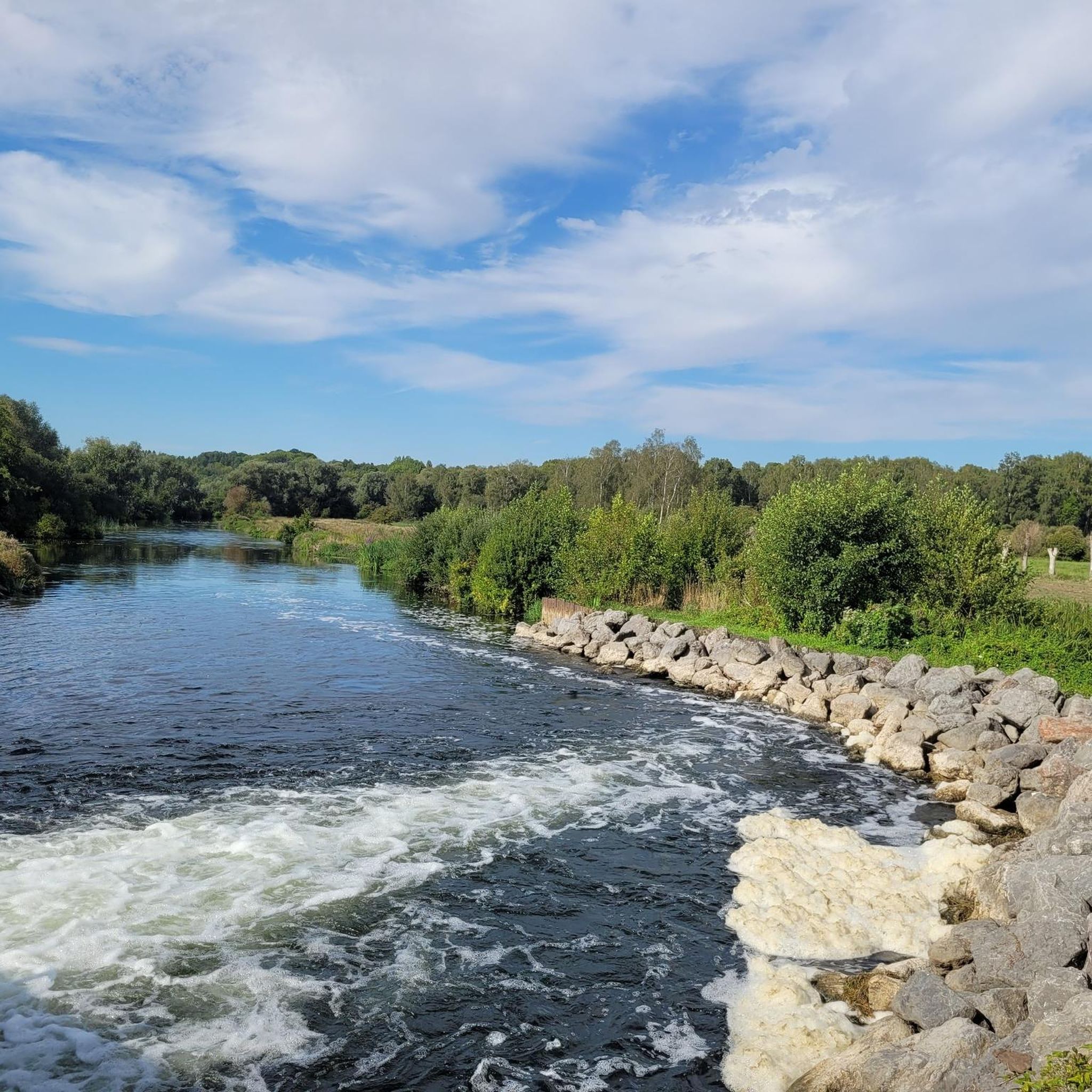
The Somme 245 km is a river in Hauts-de-France (France). The old Gallic name of the river is "Samara", meaning "the calm one". It is the river from which the Somme department derives its name.
8
0
The castle served for centuries as a meeting place for the regional nobility and thinkers.
10
0
There are several locks near Frise, all with fish ladders.
15
0

There are several small locks with benches to view them well
3
0

There are several of these bridges - unfortunately I didn't see any of them in action.
0
0

The Cratère de Lochnagar, an impressive war memorial, was created by a huge mine blown up by the British Royal Engineers on 1 July 1916, as part of the Battle of the Somme. The explosion marked the beginning of the battle and left a crater 90 metres in diameter and 25 metres deep. Interestingly, the crater was named after Lochnagar Street, the trench from which the tunnel was dug. The crater is now a preserved site of remembrance and a religious service is held there every year on 1 July in memory of those who died.
8
0

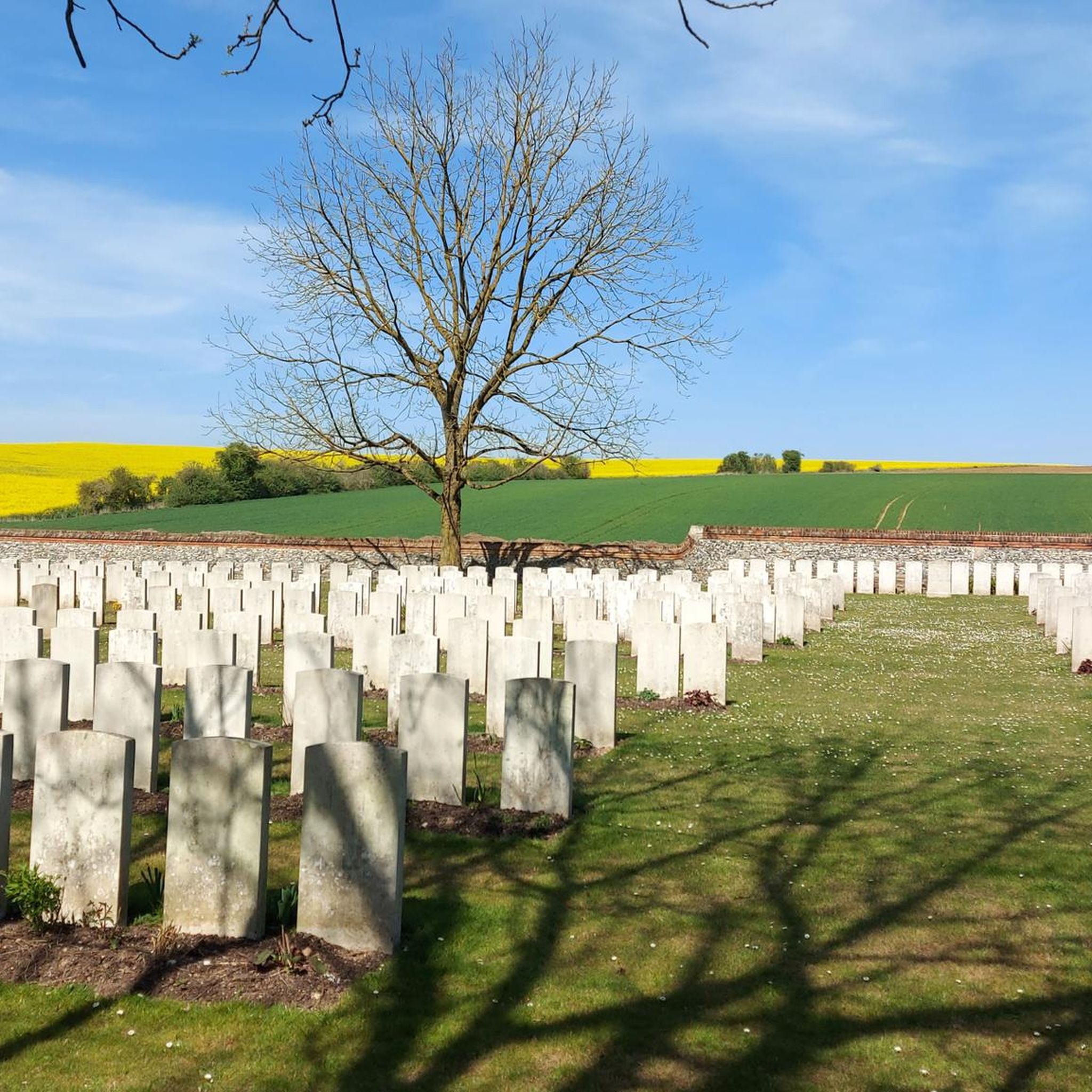
Inaugurated in 1930 at a location known as Red Cross Corner, the Pozières Memorial comprises a cemetery with 2,756 graves (1,828 British, 708 Australian, 219 Canadian, and 1 German), including 1,374 unidentified, as well as a memorial commemorating 14,649 victims (14,328 British and 321 South African) who have no known grave, who fell during the German counterattack of March 1918. Their names are engraved on the walls surrounding it. Pozières was attacked on July 23, 1916, by the 1st Australian Division and the 48th (South Midland) Division, and was captured the following day. It was lost on March 24 and 25, 1918, during the major German advance, and recaptured by the 17th Division on August 24. Quote on the entrance pediment: "In memory of the officers and men of the 5th and 4th Armies who fought on the battlefields of the Somme between March 21 and August 7, 1918, and of those of their dead who have no known grave"
0
0

When crossing the summers, you can see very well this extraordinary landscape, which reminds you of swamps on other continents
2
0
Frequently Asked Questions
How many road cycling routes are available around Montauban-de-Picardie?
There are over 50 road cycling routes available around Montauban-de-Picardie, offering a variety of options for different skill levels and preferences.
What kind of terrain can I expect on road cycling routes in Montauban-de-Picardie?
The region features gently rolling plains, agricultural fields, and river valleys, particularly along the Somme River. Routes often follow quiet country roads and canal paths, with some moderate elevation changes to keep things interesting.
Are there road cycling routes suitable for beginners or families in Montauban-de-Picardie?
Yes, Montauban-de-Picardie offers a good selection of routes suitable for beginners and families. There are 17 easy routes and 37 moderate routes, many of which follow canal paths or quiet roads, providing a pleasant cycling experience. For example, the La Boisselle Mine Crater – Lochnagar Crater loop from Ovillers-la-Boisselle is a moderate option that covers about 31.6 km.
What are the typical distances and durations for road cycling routes in this region?
Road cycling routes around Montauban-de-Picardie vary significantly. You can find shorter routes around 30-40 km, taking a couple of hours, up to longer excursions exceeding 90 km, which might take 4-7 hours to complete, depending on your pace and the route's difficulty.
Are there challenging road cycling routes for experienced cyclists?
Yes, for experienced cyclists seeking a challenge, there are 4 difficult routes available. One notable option is the Château de Péronne – Doingt Greenway loop from Nécropole nationale de France à l'Ouvrage des Bois, which covers approximately 70 km with significant elevation changes.
What historical sites or landmarks can I see while road cycling in Montauban-de-Picardie?
The region is rich in World War I history. Many routes pass by significant sites such as the Lochnagar Crater, La Boisselle Mine Crater, and the Thiepval Memorial. You might also encounter various monuments like the Dorsetshire Regiment Monument and the Mametz Wood Welsh Division Memorial.
Can I find circular road cycling routes around Montauban-de-Picardie?
Yes, many of the road cycling routes in Montauban-de-Picardie are designed as loops, allowing you to start and finish at the same point. Examples include the Canal de la Somme Cycle Path – Saint-Léger Church loop from Carnoy-Mametz and the Suzanne Castle loop from Montauban-de-Picardie.
What do other road cyclists enjoy the most about road cycling in Montauban-de-Picardie?
The area is highly rated by the komoot community, with an average score of 4.4 stars from over 40 reviews. Cyclists often praise the varied terrain, the historical significance of the routes, and the peaceful experience of cycling along river valleys and quiet country roads.
What is the best time of year to go road cycling in Montauban-de-Picardie?
The best time for road cycling in Montauban-de-Picardie is generally during the spring and summer months (April to September) when the weather is milder and the agricultural fields are vibrant. This period offers comfortable temperatures and longer daylight hours for exploring the region's routes.
Are there any scenic viewpoints along the road cycling routes?
Yes, several routes offer scenic viewpoints. For instance, you can find the Frise Viewpoint and the Vaux Viewpoint, providing panoramic views of the surrounding landscapes and river valleys.
Are there routes that follow the Canal de la Somme?
Absolutely. The Canal de la Somme Cycle Path is a prominent feature, and several road cycling routes incorporate sections along the canal, offering flat, scenic riding beside the waterway. The Château de Suzanne – Towpath Along the Somme River loop from Cléry-sur-Somme is a great example.
Most popular routes around Montauban-De-Picardie
Most popular attractions around Montauban-De-Picardie

Get inspired with the komoot mobile app


Explore more
Browse the best Road cycling routes in other regions.
