The best walks and hikes around Guillemont
4.4
(138)
711
hikers
49
hikes
Hiking around Guillemont offers routes through the gently rolling terrain of the Somme region. The landscape is characterized by the Somme River, its associated locks and dam viewpoints, and areas of woodland. Elevations are generally low, with most trails featuring modest ascents. The area provides a network of paths suitable for exploring the local natural and historical features.
Best hiking trails around Guillemont
- The most popular hiking route is Somme River and Dam Viewpoint – Frise Lock loop from Feuillères…
Last updated: June 26, 2026
4.7
(9)
61
hikers
10.0km
02:34
40m
40m
Moderate hike. Good fitness required. Easily-accessible paths. Suitable for all skill levels.
4.0
(6)
30
hikers
4.71km
01:12
20m
20m
Easy hike. Great for any fitness level. Easily-accessible paths. Suitable for all skill levels.

Sign up for free
4.5
(4)
18
hikers
5.54km
01:27
40m
40m
Easy hike. Great for any fitness level. Easily-accessible paths. Suitable for all skill levels.
4.6
(5)
18
hikers
18.8km
05:00
130m
130m
Moderate hike. Good fitness required. Mostly accessible paths. Sure-footedness required.
3.5
(4)
13
hikers
16.4km
04:14
90m
90m
Moderate hike. Good fitness required. Easily-accessible paths. Suitable for all skill levels.
Get access to more routes and recommendations from other explorers.
Sign up for free
Already have an account?
Our route recommendations are based on thousands of hikes, rides, and runs completed by other people on komoot.
Start today with a free account
Your next adventure awaits.
Login or Signup


Tips from the Community

There are several small locks with benches to view them well
3
0
Also a bicycle repair and electric bike charging point
0
0

The town of Péronne is truly charming and well worth a visit. The Somme River forms natural ponds that surround the city, giving it an undeniable appeal. Its old town is located on a small hill overlooking the entire area.
2
0

The museum covers the period of the First World War in all its aspects: military, social, cultural.
0
0


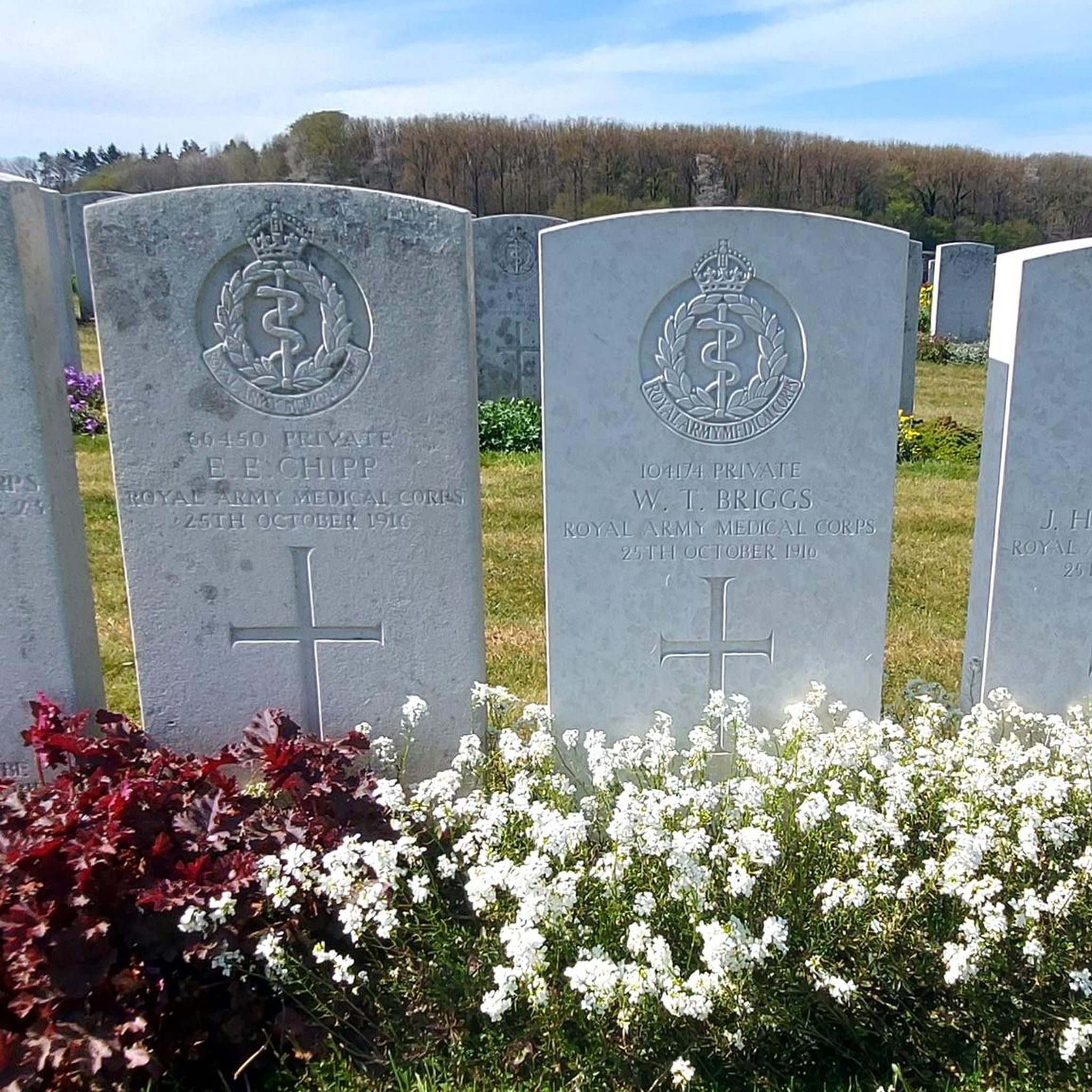
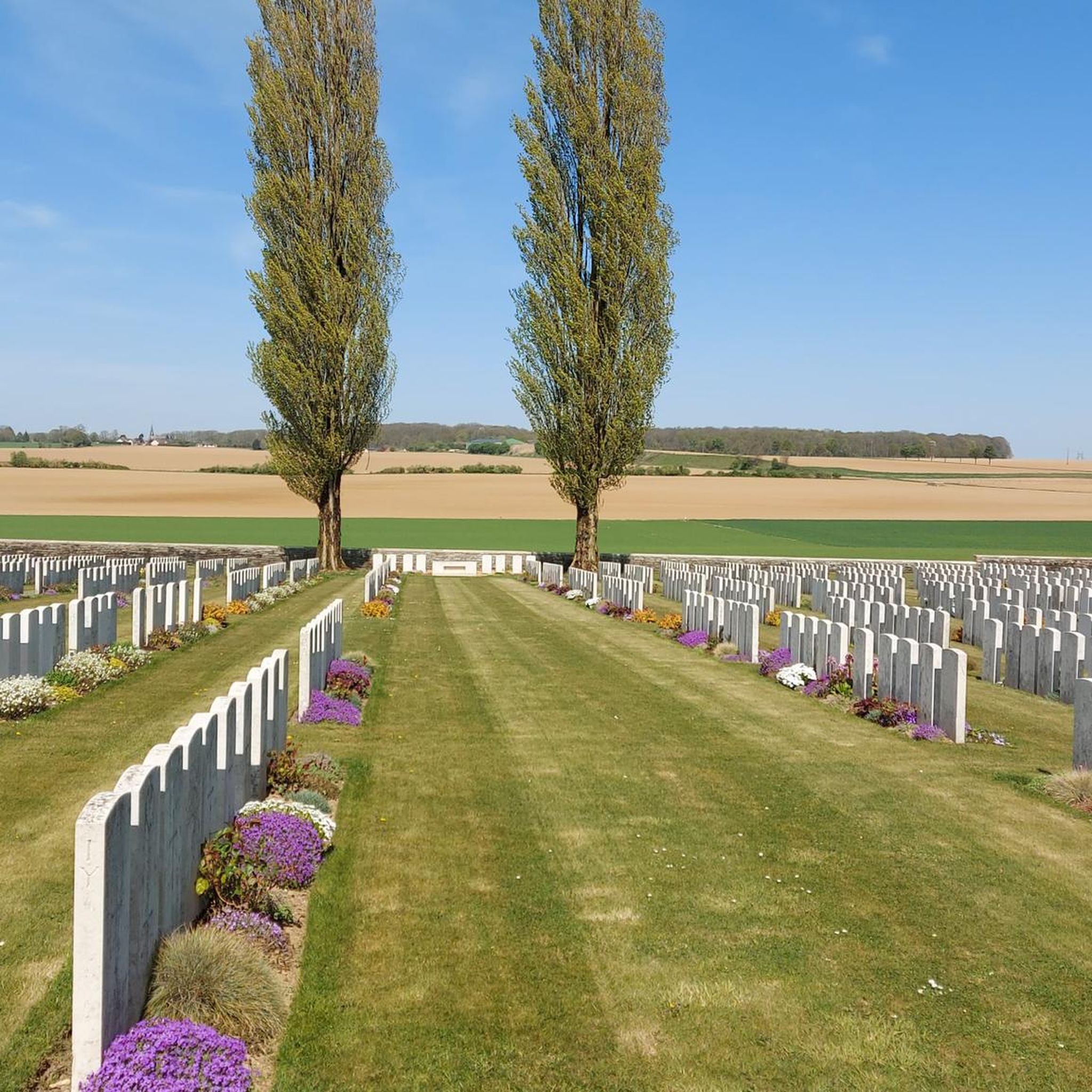
Place of memory with a beautiful panoramic view.
0
0

This museum is located on the front lines of the Battle of the Somme. The white concrete design by architect Henri-Edouard Ciriani describes a gentle arc set into the southwest wall of the medieval castle. It forms a harmonious whole with the four large round towers, each with a diameter of 9 m. The building at the Etang du Cam stands on a series of smooth white concrete columns, creating a beautiful reflection in the water. The rooms are accessed through an opening in the wall of the 13th-century castle, which was built by the Counts of Vermandois. Charles the Bold imprisoned Louis XI in one of the towers.
2
0

Beautiful little coast on the Vaux mountain
0
0
Frequently Asked Questions
How many hiking trails are available around Guillemont?
There are over 40 hiking trails around Guillemont, offering a variety of options for different skill levels and preferences. The region's network of paths is well-suited for exploring the local natural and historical features.
What is the general difficulty level of hiking trails in Guillemont?
The hiking trails around Guillemont are predominantly easy to moderate. Out of over 40 routes, about 12 are considered easy, and 30 are moderate, making the area accessible for most hikers. There is also a single difficult route for those seeking a greater challenge.
Are there any family-friendly hiking routes in Guillemont?
Yes, Guillemont offers several family-friendly hiking routes, particularly among the 12 easy trails available. These routes typically feature gentle terrain and low elevations, making them suitable for all ages. The area's river paths and woodlands provide pleasant scenery for a family outing.
What kind of scenery can I expect on hikes around Guillemont?
Hiking around Guillemont offers diverse scenery characterized by the Somme River, its associated locks and dam viewpoints, and tranquil woodland areas. The terrain is generally gently rolling, providing varied perspectives of the Somme region's natural beauty.
Are there any circular hiking routes in Guillemont?
Yes, many of the trails around Guillemont are circular, allowing you to start and end at the same point. An example is the Frise Lock loop from Feuillères, an easy 2.9-mile (4.7 km) route that takes about 1 hour 12 minutes to complete.
What are some notable landmarks or points of interest to see while hiking in Guillemont?
While hiking around Guillemont, you can explore several significant landmarks. These include historical sites like the Lochnagar Crater and the La Boisselle Mine Crater, which offer insights into the region's past. You can also visit scenic spots such as the Frise Viewpoint and Vaux Viewpoint for panoramic views.
How long do hikes typically take in the Guillemont area?
Hiking durations in Guillemont vary depending on the route. Shorter, easy trails like the Frise Lock loop from Feuillères can be completed in just over an hour. Moderate routes, such as the Bois, the mountain of vaux – Vaux Viewpoint loop from Éclusier-Vaux, typically take around 2 hours 10 minutes for its 4.9 miles (7.9 km).
What do other hikers say about the trails in Guillemont?
The hiking trails in Guillemont are highly regarded by the komoot community, holding an average rating of 4.4 stars from over 100 reviews. Hikers often praise the gentle terrain, the peaceful riverside paths, and the historical points of interest along the routes.
Are there any longer, more challenging hikes available in Guillemont?
While most trails are easy to moderate, Guillemont does offer longer options for those seeking more extensive walks. For example, the Frise Viewpoint – Frise Lock loop from Feuillères is a moderate 11.7-mile (18.8 km) route that provides a longer exploration of the riverside landscapes.
Is Guillemont suitable for dog-friendly walks?
Guillemont's gently rolling terrain and numerous paths through woodlands and along the Somme River make it a pleasant area for dog walking. Many trails are suitable for dogs, but always ensure your dog is under control and check local regulations regarding leash requirements, especially near wildlife or agricultural areas.
What is the best time of year to go hiking in Guillemont?
The best time to hike in Guillemont is generally from spring through autumn (April to October). During these months, the weather is typically mild and pleasant, making for comfortable walking conditions. Spring brings blooming flora, while autumn offers beautiful foliage along the river and in the woodlands.
Are there any routes that offer views of the Somme River and its locks?
Yes, many routes in Guillemont highlight the Somme River and its engineering features. The Somme River and Dam Viewpoint – Frise Lock loop from Feuillères is a prime example, offering excellent views of the river and a lock along its 6.2-mile (10.0 km) path.
Most popular attractions around Guillemont

Get inspired with the komoot mobile app


Explore more
Browse the best Hikes in other regions.
