The best walks and hikes around Bayonvillers
4.3
(100)
492
hikers
56
hikes
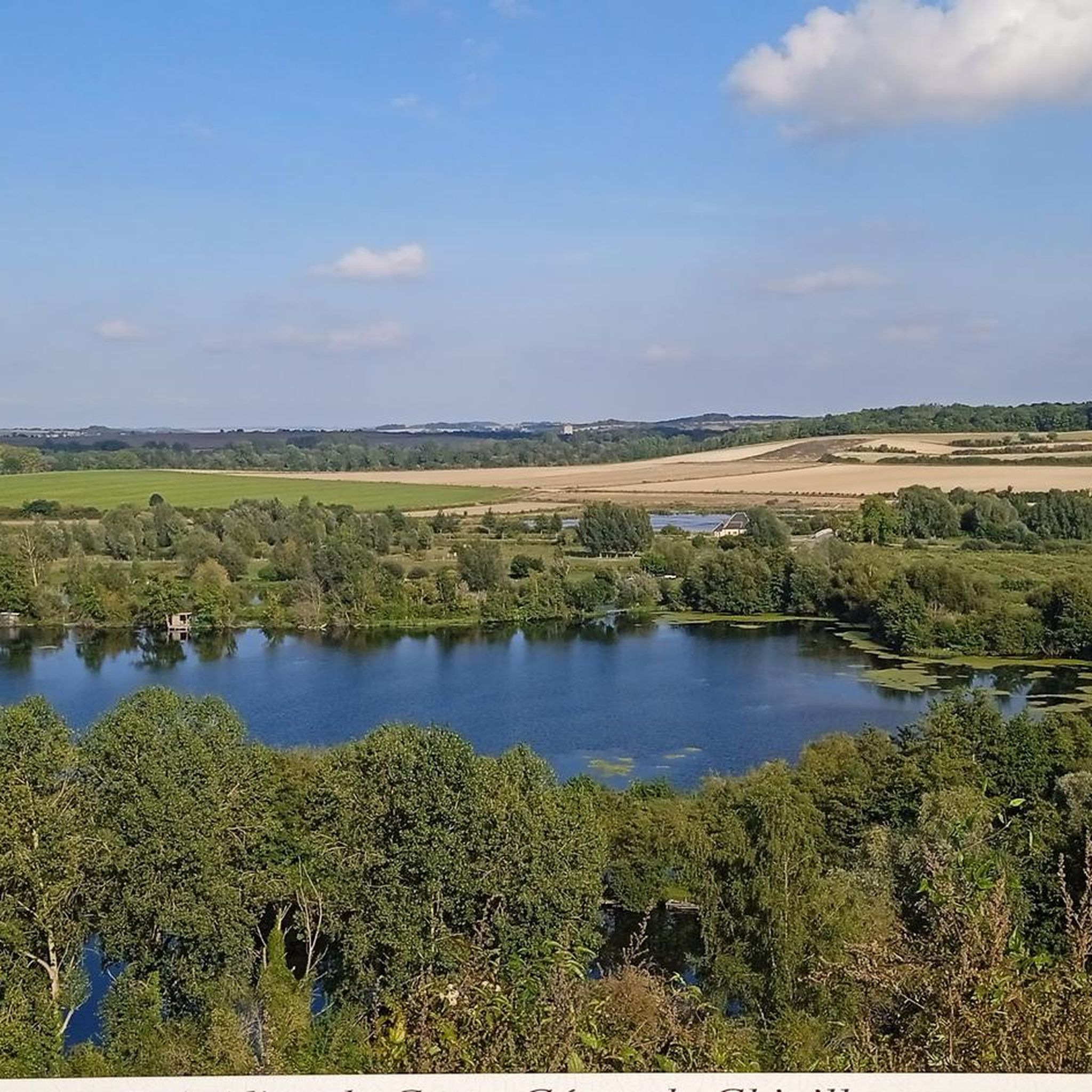
Hiking around Bayonvillers, located in the Somme department of France, offers access to the diverse landscapes of the Somme Valley. The region is characterized by tranquil natural reserves, historic river towpaths, and green meadows. Terrain is generally flat, with routes winding along rivers and through wetlands, providing opportunities for nature observation.
Best hiking trails around Bayonvillers
- The most popular hiking route is Old Dite Bridge loop from Cerisy, a 4.3 miles (7.0 km) trail that takes 1 hour 46…
Last updated: July 9, 2026
4.0
(3)
13
hikers
6.98km
01:46
20m
20m
Easy hike. Great for any fitness level. Easily-accessible paths. Suitable for all skill levels.
4.7
(3)
18
hikers
8.21km
02:08
50m
50m
Moderate hike. Good fitness required. Easily-accessible paths. Suitable for all skill levels.

Sign up for free
4.0
(2)
6
hikers
6.38km
01:37
10m
10m
Easy hike. Great for any fitness level. Easily-accessible paths. Suitable for all skill levels.
3.8
(5)
7
hikers
8.99km
02:18
30m
30m
Moderate hike. Good fitness required. Easily-accessible paths. Suitable for all skill levels.
5.0
(4)
7
hikers
11.6km
03:02
90m
90m
Moderate hike. Good fitness required. Easily-accessible paths. Suitable for all skill levels.
Get access to more routes and recommendations from other explorers.
Sign up for free
Already have an account?
Our route recommendations are based on thousands of hikes, rides, and runs completed by other people on komoot.
Start today with a free account
Your next adventure awaits.
Login or Signup




Frequently Asked Questions
What kind of hiking trails can I expect around Bayonvillers?
The Bayonvillers area offers a variety of hiking trails, primarily characterized by river landscapes, green meadows, and tranquil wetlands within the Somme Valley. You'll find options ranging from easy walks along historic towpaths to moderate routes through the countryside. The terrain is generally flat, making it accessible for many hikers.
How many hiking routes are available in the Bayonvillers region?
There are over 50 hiking routes available around Bayonvillers, catering to various preferences. This includes approximately 24 easy trails, 33 moderate trails, and a few more challenging options for experienced hikers.
Are there any family-friendly hiking options near Bayonvillers?
Yes, the region offers several family-friendly options, particularly along the flat, well-maintained towpaths. The Path from Corbie to Sailly-le-Sec, which follows the Somme River, is an excellent choice for families due to its gentle terrain and scenic views. The Réserve Naturelle de l'Étang Saint-Ladre also features marked trails with wooden footbridges, accessible even for those with reduced mobility, offering an engaging nature experience.
What natural features or landmarks can I see while hiking near Bayonvillers?
Hikers can discover several natural and historical landmarks. The Les Étangs de la Barette offers serene lake views, while the historic Towpath Along the Somme River provides picturesque river landscapes. The Réserve Naturelle de l'Étang Saint-Ladre, near Boves, is a significant wetland area known for its diverse flora and fauna, including rare plant and animal species. You can find more information about this reserve at somme-tourisme.com.
Are there any circular hiking routes in the area?
Yes, many routes around Bayonvillers are designed as loops. For example, the Old Dite Bridge loop from Cerisy is an easy 7 km circular trail that takes about 1 hour 46 minutes to complete, offering views of the Somme River.
What is the best time of year to go hiking in the Somme Valley near Bayonvillers?
The Somme Valley, including the area around Bayonvillers, is enjoyable for hiking year-round. Spring and autumn offer pleasant temperatures and vibrant natural colors, while summer provides longer daylight hours. Even in winter, the generally flat terrain and well-maintained paths make for accessible walks, though conditions can be damp.
What do other hikers say about the trails in Bayonvillers?
The hiking trails around Bayonvillers are highly regarded by the komoot community, with an average rating of 4.2 stars from nearly 90 reviews. Hikers often praise the peaceful river landscapes, the ease of navigation along the towpaths, and the opportunities for nature observation in the tranquil wetlands.
Are there dog-friendly hiking trails near Bayonvillers?
Many of the trails in the Bayonvillers region, especially the open towpaths along the Somme River, are suitable for walking with dogs. It's always recommended to keep dogs on a leash, particularly in nature reserves or areas with wildlife, and to respect local regulations regarding pets.
Where can I find parking for hiking trails around Bayonvillers?
Parking is generally available in the villages surrounding Bayonvillers, which serve as starting points for many trails. For routes along the Corbie Towpath, you can often find parking in towns like Corbie, Sailly-le-Sec, or Vaux-sur-Somme, which provide access to the river paths.
Can I access hiking trails near Bayonvillers using public transport?
While public transport options directly to trailheads might be limited in smaller villages, regional bus services or trains to larger towns like Corbie or Amiens (a short distance away) can provide access points. From these towns, you might be able to connect to local trails or use shorter walks to reach the main hiking areas like the Somme towpaths.
Are there any longer, more challenging hikes available?
While the region is known for its generally flat and easy to moderate trails, you can find longer routes. The In the heart of nature – Marcelcave loop from Marcelcave is a moderate 11.6 km trail that takes around 3 hours to complete, offering a more extended experience through varied landscapes.
What kind of wildlife can I expect to see on hikes in the Somme Valley?
The Somme Valley is rich in biodiversity. Along the river and in wetland areas like the Réserve Naturelle de l'Étang Saint-Ladre, you might spot various bird species, including kingfishers, as well as dragonflies and butterflies. The tranquil environment provides excellent opportunities for nature observation.
Most popular routes around Bayonvillers
Most popular attractions around Bayonvillers

Get inspired with the komoot mobile app


Explore more
Browse the best Hikes in other regions.
