The best running trails around Niederzissen
4.4
(715)
11,164
runners
412
runs
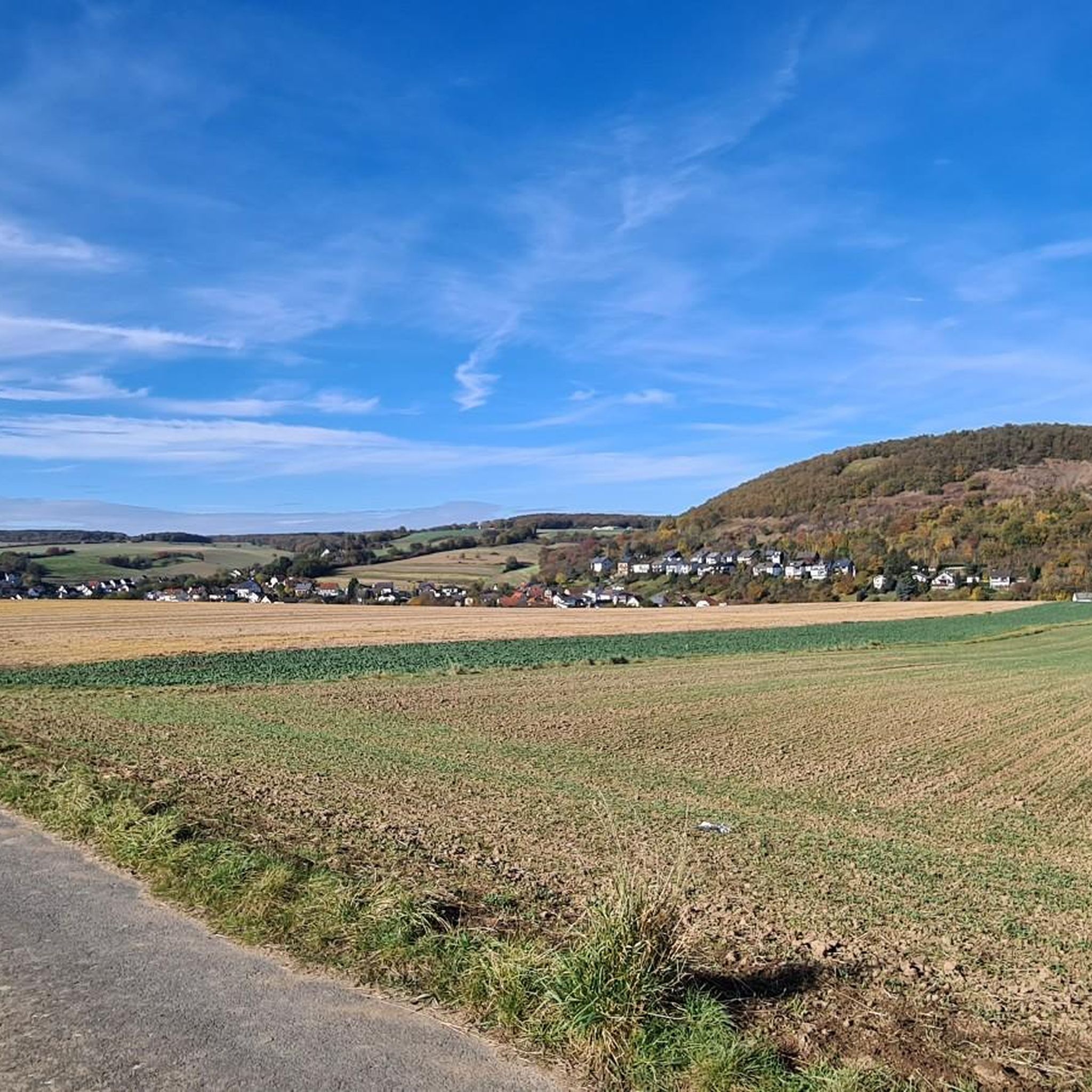
Jogging around Niederzissen offers diverse landscapes within the Eifel low mountain range and the Brohltal valley. The region features varied terrain, including extensive forests, picturesque valleys, and rolling hills. Unique volcanic formations, such as the Laacher See and Bausenberg, provide distinct natural features along many running routes. This area is characterized by a well-developed network of trails suitable for various jogging preferences.
Best jogging routes around Niederzissen
- The most popular jogging route is View of the Siebengebirge – Rodder Maar…
Last updated: October 13, 2026
4.2
(5)
32
runners
5.14km
00:32
50m
50m
Moderate run. Good fitness required. Mostly paved surfaces. Suitable for all skill levels.
24
runners
13.6km
01:31
210m
210m
Moderate run. Good fitness required. Mostly paved surfaces. Suitable for all skill levels.

2.7
(3)
20
runners
Moderate run. Good fitness required. Mostly paved surfaces. Suitable for all skill levels.
20
runners
7.94km
00:54
140m
140m
Moderate run. Good fitness required. Mostly paved surfaces. Suitable for all skill levels.
4.8
(4)
10
runners
11.6km
01:18
200m
200m
Moderate run. Good fitness required. Mostly paved surfaces. Suitable for all skill levels.
Get access to more routes and recommendations from other explorers.
Already have an account?
Our route recommendations are based on thousands of hikes, rides, and runs completed by other people on komoot.
Start today with a free account
Your next adventure awaits.
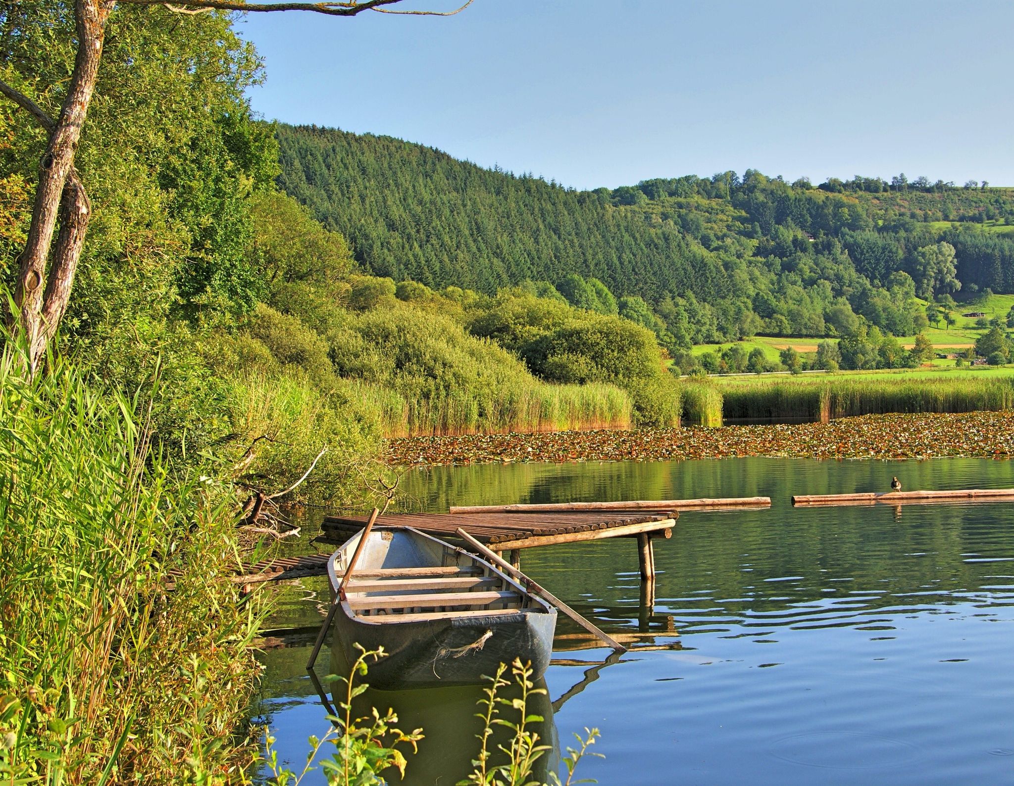
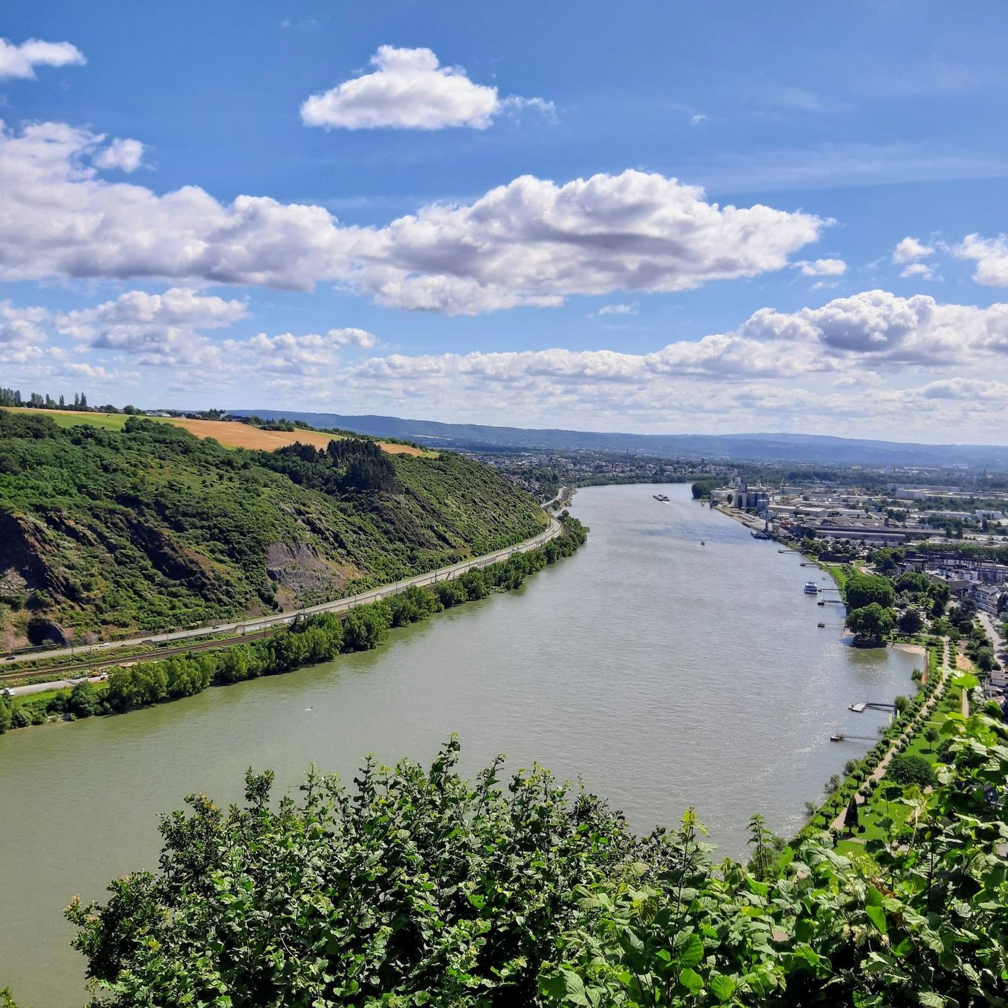
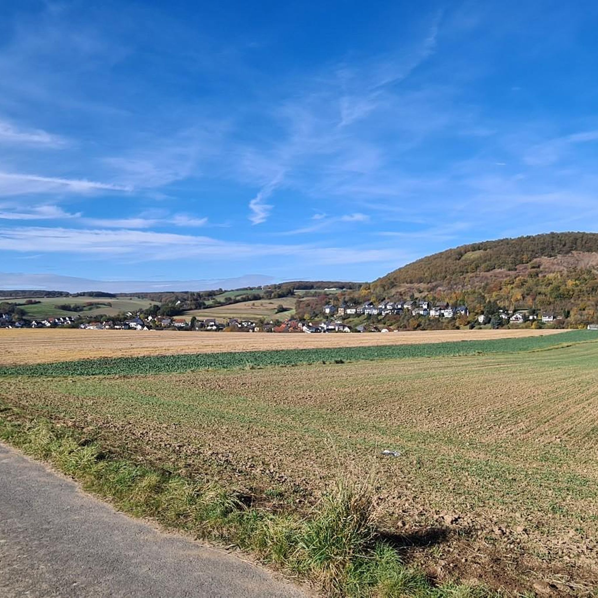
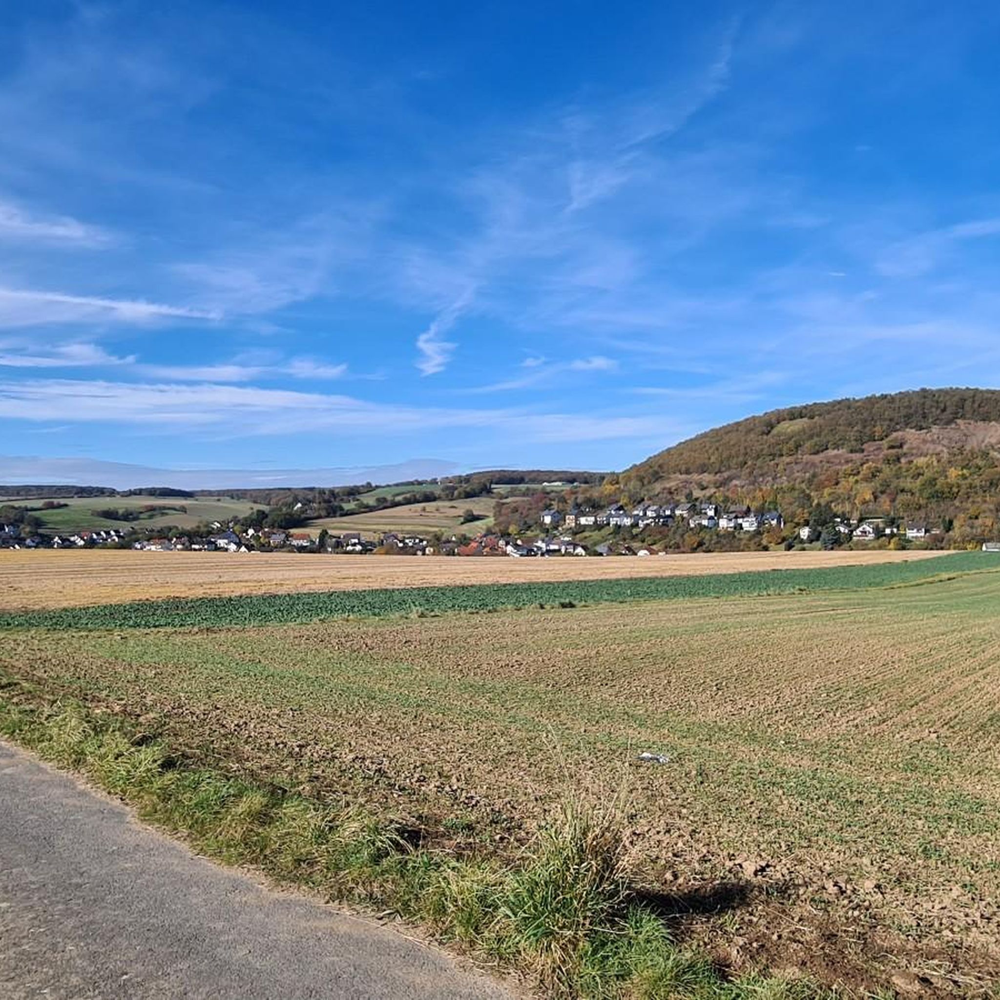
Other adventures around Niederzissen

Tips from the Community

The Herchenberg is a former volcanic crater in the Osteifel near Burgbrohl (approx. 90 km south of Ratingen). In the active open-cast mine, Eifel lava has been extracted for over 50 years, allowing deep insights into the interior of the cinder cone. Hikers can reach the lava pit via the Vulkan-Panoramaweg. The approximately 210,000 to 500,000-year-old volcano is picturesquely located in the Brohltal valley and offers great distant views from its slopes all the way to the Siebengebirge. The interior of the crater itself is strongly shaped by the extraction of the red and black Eifel lava.
0
0


Beautiful view of the maar and Olbrück Castle in the background
2
0
This information is really helpful for who really needs this. I hope you will many more write post like this.. https://www.catmeowsounds.com
0
0
East of Oberdürenbach lies the former basalt cone "Steinberg" (Steimerich), one of the three Tertiary volcanoes in the Brohltal. The quality of the basalt rock was excellently suited for road construction (cobblestones), as track ballast or as basalt chippings. As early as 1870, there were interested parties who considered the industrial extraction of this natural treasure. In the 1920s, Steinhandel Rauen AG from Mühlheim/Ruhr acquired the concession for operating the quarry on the Steinberg in order to extract the coveted natural stone on a large scale. For this purpose, the company built a large gravel plant in Oberzissen in 1924. Initially, the material was transported there by horse-drawn and ox-drawn carts. From 1925 onwards, the construction of a cable car created a practical connection between the quarry and the gravel plant. Further transport of the stone material to the Rhine port in Brohl was carried out by the Brohltalbahn. From Brohl, the building material for road construction, for bank reinforcements on rivers, canals and the sea, continued to destinations at home and abroad by ship or Reichsbahn. After a short time, the hilltop disappeared. Over the years, the workers created an almost 75 m deep funnel with their pneumatic drills. In the process, they encountered two springs that yielded over 30 cubic meters per day. These water masses had to be pumped out every day before work began. During World War II, work on the Steimerich was stopped. In a very short time, the quarry filled with spring water. This created a lake of about one hectare with a water depth of up to 30 m. Even during the war, the clean water was used for swimming. The idea of reactivating the quarry in the 1950s was quickly abandoned. The Rauen company preferred to invest in the already existing quarry on the Hannebacher Ley... CONTINUATION and FURTHER INFORMATION: https://www.osteifel-aktiv.de/41527/41928.html
1
0
Beautiful! 👌 It is a little off the main path and can be reached via a narrow meadow path. But the little detour is definitely worth it! 😃
0
0

A deep cut is being dug here: the materials from the eruption of the Maria Laach volcano are being mined using open-cast mining methods; the mountain is already very hollow. From the path, the area is mostly so sealed off that no direct view is possible, but there are two places opposite where you can see.
9
0
A deep cut is being dug here: the materials from the eruption of the Maria Laach volcano are being mined using open-cast mining methods; the mountain is already very hollow. From the path, the area is mostly so sealed off that no direct view is possible, but there are two places opposite where you can see.
8
0
Frequently Asked Questions
How many running routes are available around Niederzissen?
There are over 340 running routes available around Niederzissen, offering a wide variety of options for different preferences and fitness levels. This includes routes through volcanic landscapes, forests, and along picturesque valleys.
What kind of terrain can I expect on running trails in Niederzissen?
Running trails in Niederzissen offer a diverse terrain, characteristic of the Eifel low mountain range and the Brohltal valley. You'll find routes through extensive forests, along scenic valleys, and over rolling hills. Many paths also feature unique volcanic formations, with some routes utilizing mostly paved surfaces.
Are there running routes suitable for beginners in Niederzissen?
Yes, Niederzissen offers several routes suitable for beginners. There are over 35 easy running trails, perfect for those new to running or looking for a less challenging experience. These routes often feature gentler inclines and well-maintained paths.
What do other runners say about the trails in Niederzissen?
The running trails in Niederzissen are highly regarded by the komoot community, with an average rating of 4.4 stars from over 600 reviews. Runners frequently praise the varied terrain, the beautiful natural scenery, and the well-marked paths that make exploring the region enjoyable.
Are there any unique natural features to see while running in Niederzissen?
Absolutely! The region is part of the Brohltal/Laacher See Volcano Park, so you can expect to encounter unique geological sights. Highlights include the stunning Laacher See, a large crater lake, and the Rodder Maar, a natural spectacle that serves as a starting point for many picturesque circular routes. You might also spot volcanic cones and other Eifel lakes.
Can I find routes with historical landmarks or viewpoints in Niederzissen?
Yes, many running routes in Niederzissen incorporate historical landmarks and offer fantastic viewpoints. For instance, the Eifelleiter trail passes by the medieval Burg Olbrück, an 11th-century castle ruin with magnificent views. You can also find routes leading to observation towers like the Weiselstein Observation Tower, providing panoramic vistas of the surrounding landscape.
Are there any circular running routes in Niederzissen?
Yes, Niederzissen is well-known for its circular running routes. Many popular options, such as the View of the Siebengebirge – Rodder Maar loop from Niederzissen and the Auf Mötschert – Rodder Maar loop from Oberdürenbach, are designed as loops, allowing you to start and finish at the same point without retracing your steps.
Are the running trails in Niederzissen suitable for families?
Many of the running trails in Niederzissen are suitable for families, especially the easier and shorter routes. The varied landscapes, including forests and lakes, provide an engaging environment for all ages. Look for routes with mostly paved surfaces or gentle inclines for a more family-friendly experience.
Are dogs allowed on the running routes in Niederzissen?
Generally, dogs are welcome on many running routes in Niederzissen, especially those through forests and open landscapes. However, it's always advisable to keep your dog on a leash, particularly in nature reserves or near wildlife, and to check specific trail regulations if available.
What is the best time of year to go jogging in Niederzissen?
Niederzissen offers a great jogging experience year-round. Spring brings beautiful flower fields, autumn showcases colorful landscapes, and even winter offers unique views. The extensive forests provide shaded routes during warmer months, making it comfortable for running throughout the seasons.
Are there any shorter running routes for a quick workout?
Yes, if you're looking for a shorter run, there are several options. For example, the Rodder Maar – Rodder Maar loop from Brohltal is a moderate 1.5-mile (2.5 km) trail that can be completed in under 20 minutes, perfect for a quick and scenic workout.
What are some of the longer, more challenging running routes in the area?
For those seeking a longer challenge, routes like the View of the Siebengebirge – Rodder Maar loop from Niederzissen, at 8.5 miles (13.6 km), offer more distance and elevation. There are over 50 difficult routes in the region, providing significant climbs and extended distances for experienced runners.
Most popular routes around Niederzissen
Most popular attractions around Niederzissen

Get inspired with the komoot mobile app


Explore more
Browse the best Running Trails & Routes in other regions.
