The best running trails around Le Poizat-Lalleyriat
4.5
(134)
5,150
runners
270
runs
Jogging around Le Poizat-Lalleyriat offers varied terrain within the Ain department of eastern France. The region is characterized by its valley location, bordering the Retord plateau to the south and the Jura Mountains to the north. This landscape features a mix of dense forests, elevated plateaus, and several natural lakes, providing diverse running routes. The area's blend of open spaces and wooded sections, including the accessible Plateau de Retord, offers a range of experiences for runners.
Best jogging routes around…
Last updated: July 11, 2026
35
runners
7.94km
00:53
120m
120m
Moderate run. Good fitness required. Mostly paved surfaces. Suitable for all skill levels.
22
runners
23.7km
02:56
470m
470m
Hard run. Very good fitness required. Mostly paved surfaces. Suitable for all skill levels.

Sign up for free
11
runners
14.4km
01:45
310m
310m
Hard run. Very good fitness required. Mostly paved surfaces. Suitable for all skill levels.
11
runners
12.0km
01:29
250m
250m
Moderate run. Good fitness required. Mostly paved surfaces. Suitable for all skill levels.
11
runners
6.90km
00:51
120m
120m
Moderate run. Good fitness required. Mostly paved surfaces. Suitable for all skill levels.
Get access to more routes and recommendations from other explorers.
Sign up for free
Already have an account?
Our route recommendations are based on thousands of hikes, rides, and runs completed by other people on komoot.
Start today with a free account
Your next adventure awaits.
Login or Signup
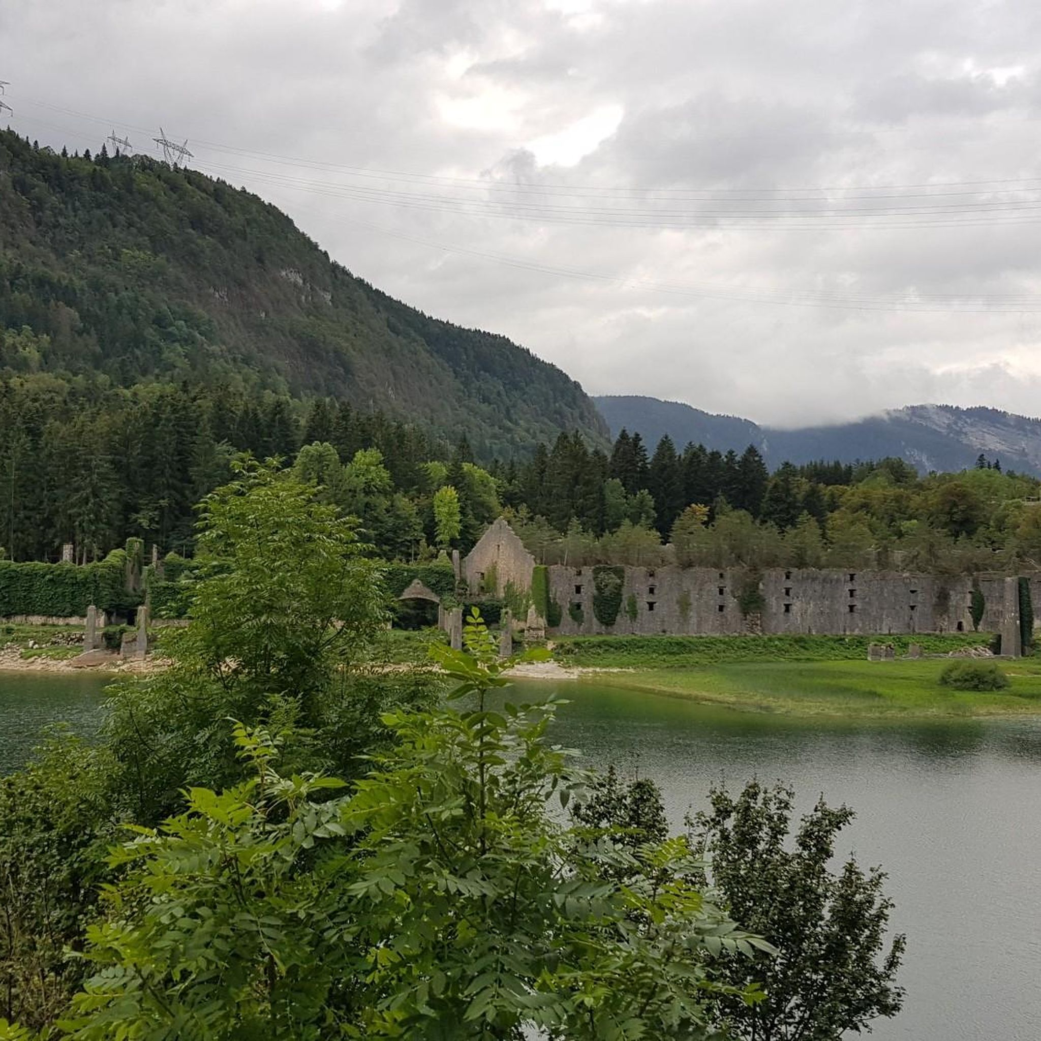

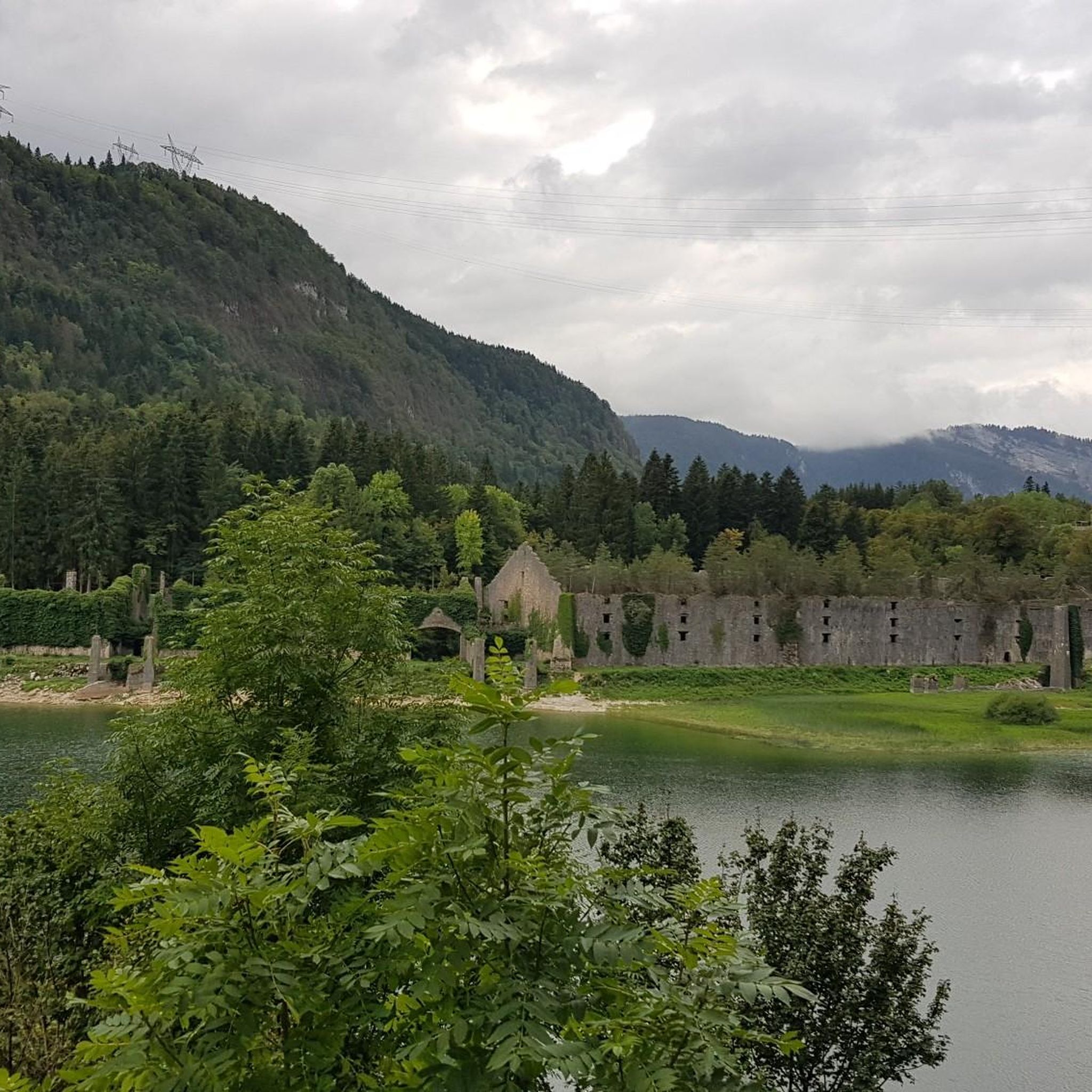
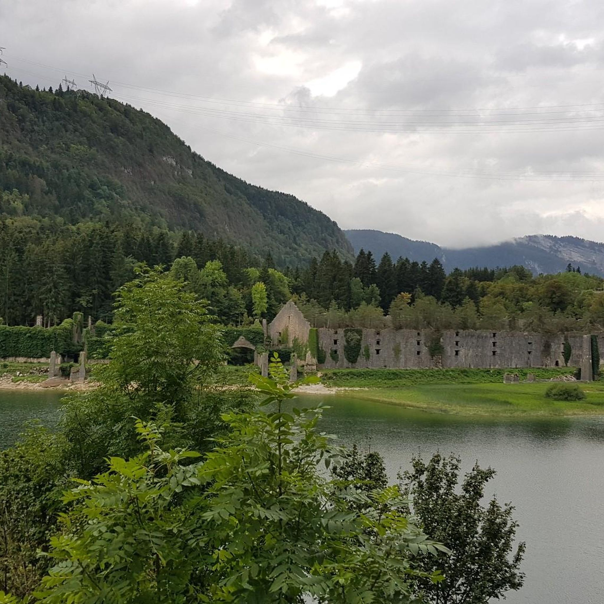
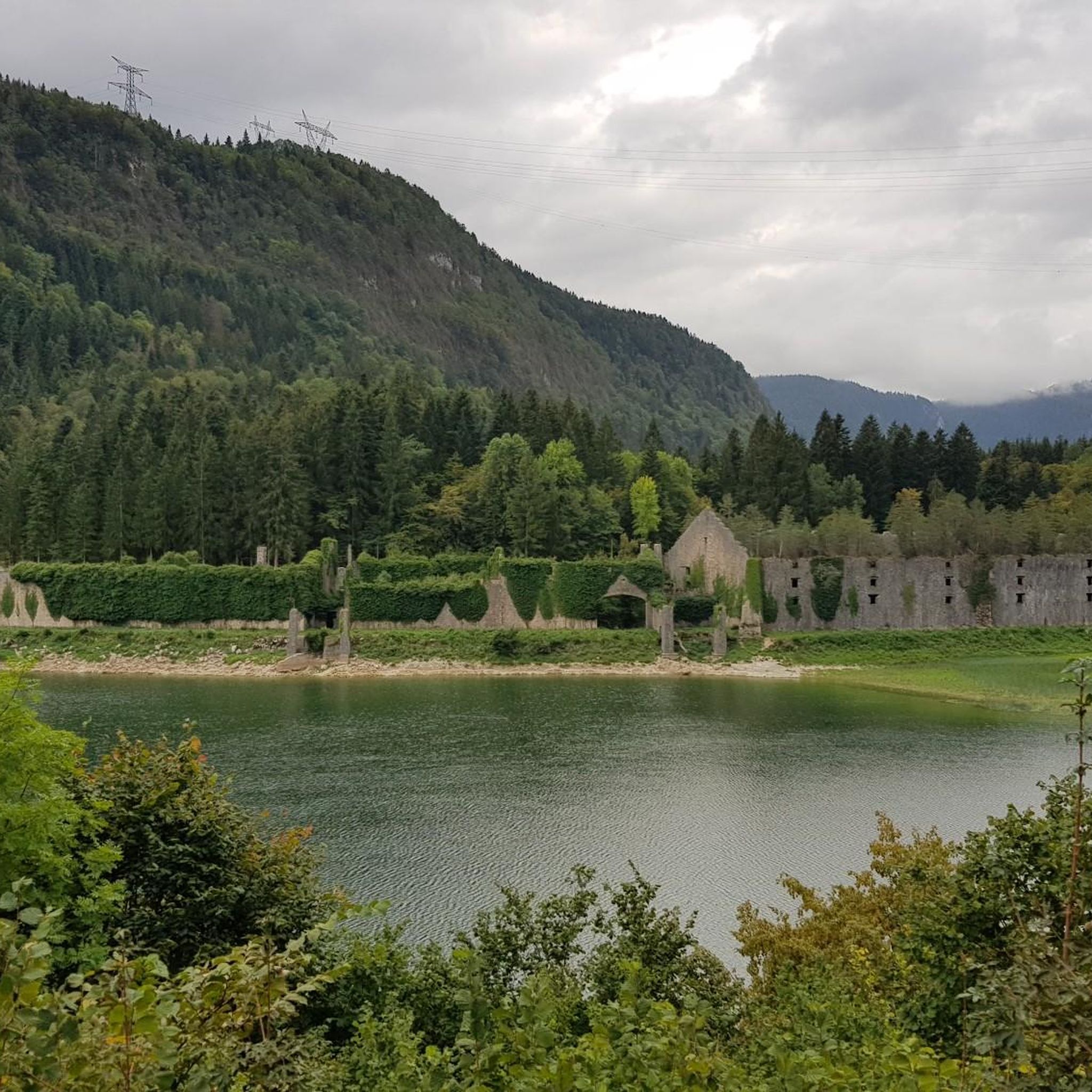
Tips from the Community

This passage through the woods is a beautiful shady alternative for connecting Lake Genin and Lake Sylans.
0
0

Pretty little lake in the heart of the small Jura mountains
0
0

A 10 km climb from the small roundabout in Châtillon, it's more like 14 km from the Nantua road or the center of Bellegarde. The gradient is fairly steady, ranging from 5.5% to 7.2%, with about ten small steep sections at +8.5%. Very quiet, with very few cars. The road is generally in good condition, but nothing more. There are some beautiful views along the way.
1
1

Extraordinary panorama, ideal place for a break on the GTJ route, a picnic or even a stopover in a gîte (booking: https://refugelaconay.clubalpinbourgenbresse.fr/reservation/)
0
0

This human-sized resort offers many activities available all year round. It is the starting point for VTT, Gravel and hiking circuits. It also has a biathlon stadium usable in summer and winter, unique in the Ain. Ideal for exploring the Jura massif.
0
0


A fantastic panorama of Mont Blanc and all the Alps 🤩. The course is great for the start of the season and a little meal at Lisa's with lots of kindness
2
0

Frequently Asked Questions
How many running routes are available in Le Poizat-Lalleyriat?
Le Poizat-Lalleyriat offers a wide selection of running trails, with over 260 routes available. These range from easy paths to more challenging runs, catering to various fitness levels.
Are there any easy jogging routes for beginners or casual runners?
Yes, the region provides several easy running options. There are 17 routes specifically categorized as easy, perfect for beginners or those looking for a relaxed jog through the scenic landscape.
What kind of terrain can I expect on the running trails around Le Poizat-Lalleyriat?
The terrain is quite varied, reflecting the region's diverse geography. You'll find routes traversing dense forests, elevated plateaus like the Retord Plateau, and paths alongside natural lakes such as Lake Sylans and Lake Nantua. Some trails also feature significant elevation changes as they climb into the Jura Mountains.
Can I find running routes that offer scenic viewpoints?
Absolutely. The region is known for its stunning vistas. You can find routes that lead to viewpoints like Peney Viewpoint and Roche Carrelet Viewpoint, offering magnificent views of Lake Sylans and the Nantua viaduct. The Retord Plateau also provides expansive views, including Mont Blanc on clear days.
Are there any running trails that pass by lakes or other natural attractions?
Many routes incorporate the region's beautiful natural features. You can run alongside the pure waters of Lake Sylans, or explore areas near the picturesque Lake Nantua and the alpine-like Lake Genin. Some trails also venture near the impressive Valserine Gorges, where the river has carved deep ravines.
Are there any circular running routes in the area?
Yes, many of the running trails in Le Poizat-Lalleyriat are circular, allowing you to start and finish at the same point. For example, the Plateau de Retord – Cuvéry Pass loop from Ochiaz is a moderate 7.9 km option, and the Cuvéry Pass loop from Ochiaz offers a 6.9 km run through varied terrain.
What do other runners say about the trails in Le Poizat-Lalleyriat?
The running routes in Le Poizat-Lalleyriat are highly regarded by the komoot community, holding an average rating of 4.3 stars from over 70 reviews. Runners often praise the diverse landscapes, from tranquil forests to stunning lake views, and the variety of difficulty levels available.
Are there any longer, more challenging running routes for experienced athletes?
For experienced runners seeking a challenge, Le Poizat-Lalleyriat offers 112 difficult routes. A notable option is the Étang de Lalleyriat loop from Le Poizat-Lalleyriat, a demanding 36.4 km trail with significant elevation gain, typically taking over 5 hours to complete.
Is Le Poizat-Lalleyriat suitable for family-friendly running or walking?
Yes, the region offers routes suitable for families. The 'Squirrel Trail' is an official 14.09 km hike with a modest elevation gain, marked with orange signs and yellow squirrels, indicating its family-friendly nature. Many of the easier and moderate routes can be enjoyed by families looking for a pleasant outdoor experience.
What is the best time of year to go running in Le Poizat-Lalleyriat?
Le Poizat-Lalleyriat experiences an oceanic climate with mild summers and cool winters. This makes it generally pleasant for outdoor activities throughout much of the year. While rain is consistent, the mild summers are ideal for running, and the cooler seasons offer a different, often quieter, experience of the natural landscape.
Are there any running routes that explore the Retord Plateau?
Yes, the Retord Plateau is a prominent feature of the region and offers excellent running opportunities. The Plateau de Retord – Cuvéry Pass loop from Ochiaz is a moderate 7.9 km route that provides views of this elevated area, known for its open spaces and wooded sections.
Can I find running trails that go through forested areas?
The region boasts extensive forested areas, such as the great forest of Meyriat, providing many opportunities for shaded runs. The Cuvéry Pass – Refuge de la Conay loop from Ochiaz is a 14.4 km trail that leads through beautiful forested sections, offering a refreshing experience.
Most popular routes around Le Poizat-Lalleyriat
Most popular attractions around Le Poizat-Lalleyriat

Get inspired with the komoot mobile app


Explore more
Browse the best Running Trails & Routes in other regions.
