The best walks and hikes around Champdor-Corcelles
4.3
(277)
2,015
hikers
125
hikes
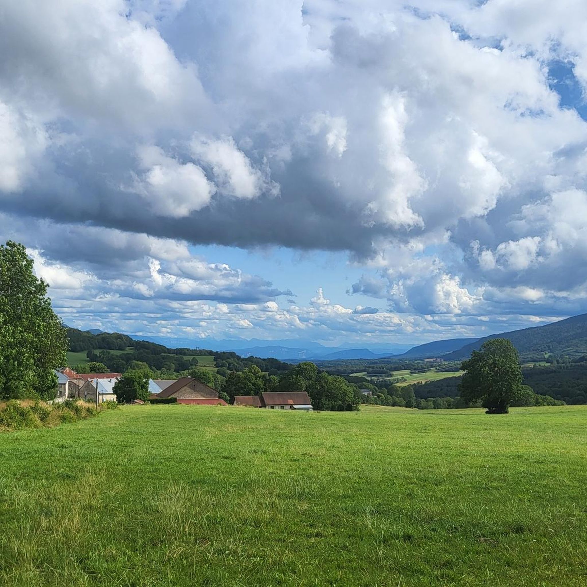
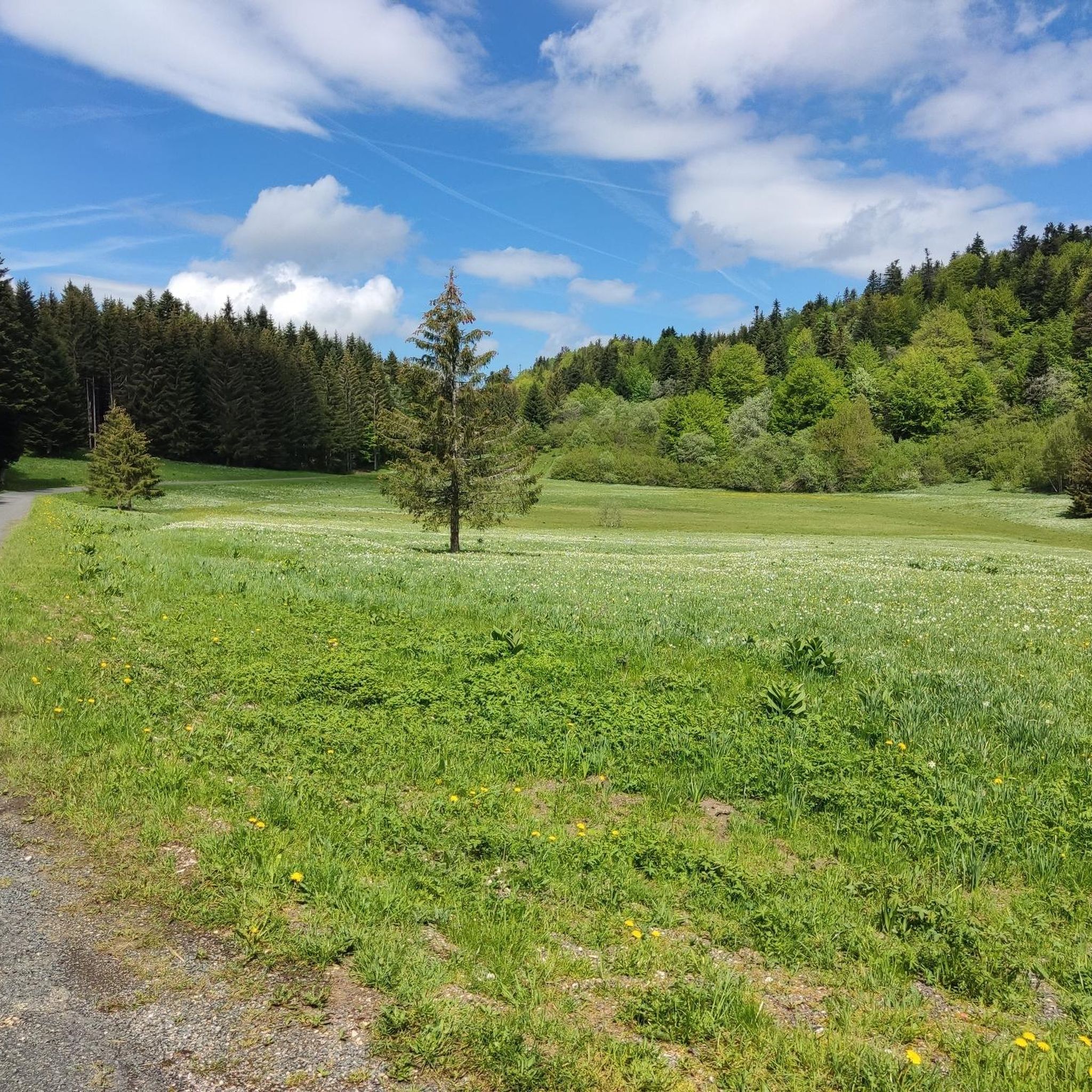
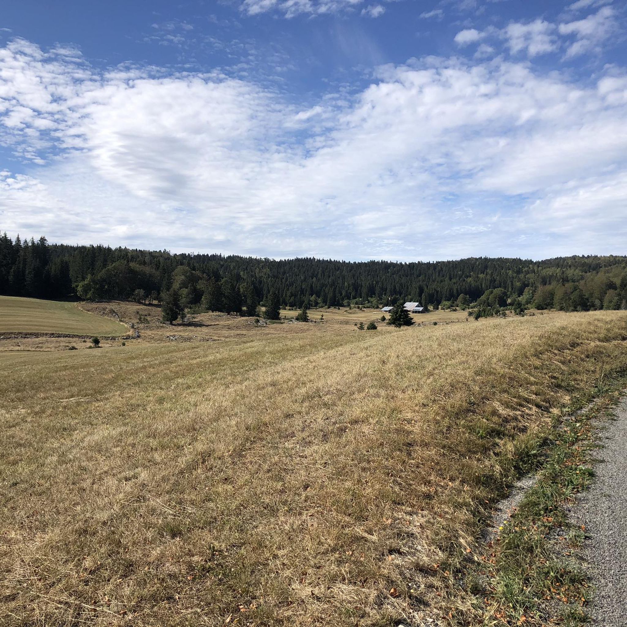
Hiking around Champdor-Corcelles offers exploration of the elevated Plateau d'Hauteville, situated at an average altitude of about 840 meters in the Ain department. The region is characterized by dense forests and varied terrain, providing a range of ecosystems for hikers. Routes often feature panoramic views over the Ain plain and include smaller water elements like ponds, fountains, and washhouses. The area's diverse landscapes make it suitable for various outdoor activities.
Best hiking trails around Champdor-Corcelles
- The most popular hiking route…
Last updated: October 14, 2026
5.0
(1)
14
hikers
11.7km
03:11
170m
170m
Moderate hike. Good fitness required. Easily-accessible paths. Suitable for all skill levels.
4.0
(1)
7
hikers
9.18km
02:39
200m
200m
Moderate hike. Good fitness required. Easily-accessible paths. Suitable for all skill levels.

5.0
(1)
3
hikers
8.18km
02:26
250m
250m
Moderate hike. Good fitness required. Easily-accessible paths. Suitable for all skill levels.
3
hikers
10.6km
03:10
320m
320m
Moderate hike. Good fitness required. Mostly accessible paths. Sure-footedness required.
4
hikers
8.79km
02:25
140m
140m
Moderate hike. Good fitness required. Easily-accessible paths. Suitable for all skill levels.
Get access to more routes and recommendations from other explorers.
Already have an account?
Our route recommendations are based on thousands of hikes, rides, and runs completed by other people on komoot.
Start today with a free account
Your next adventure awaits.

Tips from the Community

Magnificent brown ponds, calm and relaxing, a must-see stop!
0
0

The Marron ponds are named after a family from Brénod, it is not a reference to the color of the water. Only one of them remains filled with water all year round. This one served as a water reserve and fishing spot for the monks of the Meyriat abbey. In spring, a multitude of water lilies cover the surface.
0
0


Nice little town with a beautiful church, the town hall is also beautiful.
2
0

Having passed there many times, especially by bike, I did not know the history of the brown ponds. Thank you for these explanations !
1
0

Brénod is located 850 meters above sea level, in the upper Bugey, south of the Jura massif. The town has a historical heritage, as well as a unique and completely preserved natural setting for peaceful, outdoor holidays.
1
0
Frequently Asked Questions
How many hiking trails are available in Champdor-Corcelles?
Champdor-Corcelles offers a wide variety of hiking opportunities, with over 120 trails mapped on komoot. These include 21 easy routes, 76 moderate paths, and 23 more challenging excursions, ensuring options for all skill levels.
Are there easy or family-friendly hiking options in the area?
Yes, the region is well-suited for families. There are 21 easy routes available. The "Chemin Buissonnier" connecting Champdor and Corcelles is specifically designed for family exploration. Additionally, activities like geocaching and guided donkey treks offer engaging ways for families to discover the local forests and heritage.
Can I find hikes with waterfalls in Champdor-Corcelles?
Yes, you can. The Brénod – Brénod waterfall loop from Brénod is a popular moderate trail that leads through forested areas to a local waterfall. For another option, the Melogne Waterfalls are also a notable natural feature in the vicinity.
Where can I find panoramic views on a hike around Champdor-Corcelles?
Many routes on the Hauteville Plateau offer breathtaking panoramic views, often overlooking the Ain plain. Trails leading to belvederes or higher elevations provide excellent vantage points. For example, the Brénod – Meyriat Heights loop from Brénod offers views from the Meyriat Heights. The Grand Colombier, though about 40 km away, is the highest point in Bugey and provides fantastic vistas for more ambitious excursions.
Are there any circular hiking routes available?
Yes, many of the trails in Champdor-Corcelles are designed as loops, allowing you to start and end at the same point. An example is the Brénod – Brown Ponds loop from Brénod, which explores local pond areas and woodlands.
What kind of natural features can I expect to see on the trails?
The region is characterized by dense forests, varied terrain of the Hauteville Plateau, and smaller water elements like ponds, fountains, and washhouses. You'll also encounter diverse ecosystems and opportunities to discover hidden curiosities within the woodlands.
What do other hikers enjoy most about hiking in Champdor-Corcelles?
The hiking routes in Champdor-Corcelles are highly rated by the komoot community, with an average score of 4.5 stars from over 200 reviews. Hikers often praise the varied terrain, the dense forests, and the opportunities for panoramic views over the Ain plain.
Are there any historical or cultural landmarks to explore while hiking?
Yes, several routes allow you to discover local architectural heritage. You might encounter the church, various fountains and washhouses, old houses, and the Château de Champdor, which dates back to 1743. The "Le Sentier Aragon" trail also blends nature with literary discovery.
Is it possible to hike in Champdor-Corcelles during winter?
While the region is great for hiking in warmer months, the Hauteville plateau also offers winter activities. Nearby sites like Terre Ronde and La Praille provide opportunities for cross-country and alpine skiing, snowshoeing, and even dog sledding, suggesting that some trails may be suitable for winter exploration, especially with snowshoes.
What are some other outdoor activities available near Champdor-Corcelles besides hiking?
Beyond hiking, the wider Hauteville plateau area offers a range of outdoor pursuits. These include grass scootering, golf practice, canyoning, caving, climbing, via ferrata, and tree climbing. Lac de Nantua, nearby, is also ideal for water leisure activities.
Are there any specific trails that lead to mountain passes?
Yes, the area features several mountain passes that can be incorporated into hikes. Notable passes include Col de Bérentin, Rochette Pass, Belleroche Pass, Valorse Pass, and Col de Richemond (1060 m).
Can I find trails that explore specific forest features?
Absolutely. The region is known for its dense forests. The Meyriat Heights – Sapin Président loop from Brénod is one such trail that guides you through varied forest terrain. There's also a dedicated 3.5-hour 'Forest Trail' mentioned in local guides, designed to lead hikers through the woodlands to discover hidden gems.
Most popular routes around Champdor-Corcelles
Most popular attractions around Champdor-Corcelles

Get inspired with the komoot mobile app


Explore more
Browse the best Hikes in other regions.
