The best walks and hikes around La Chailleuse
4.5
(242)
1,472
hikers
138
hikes
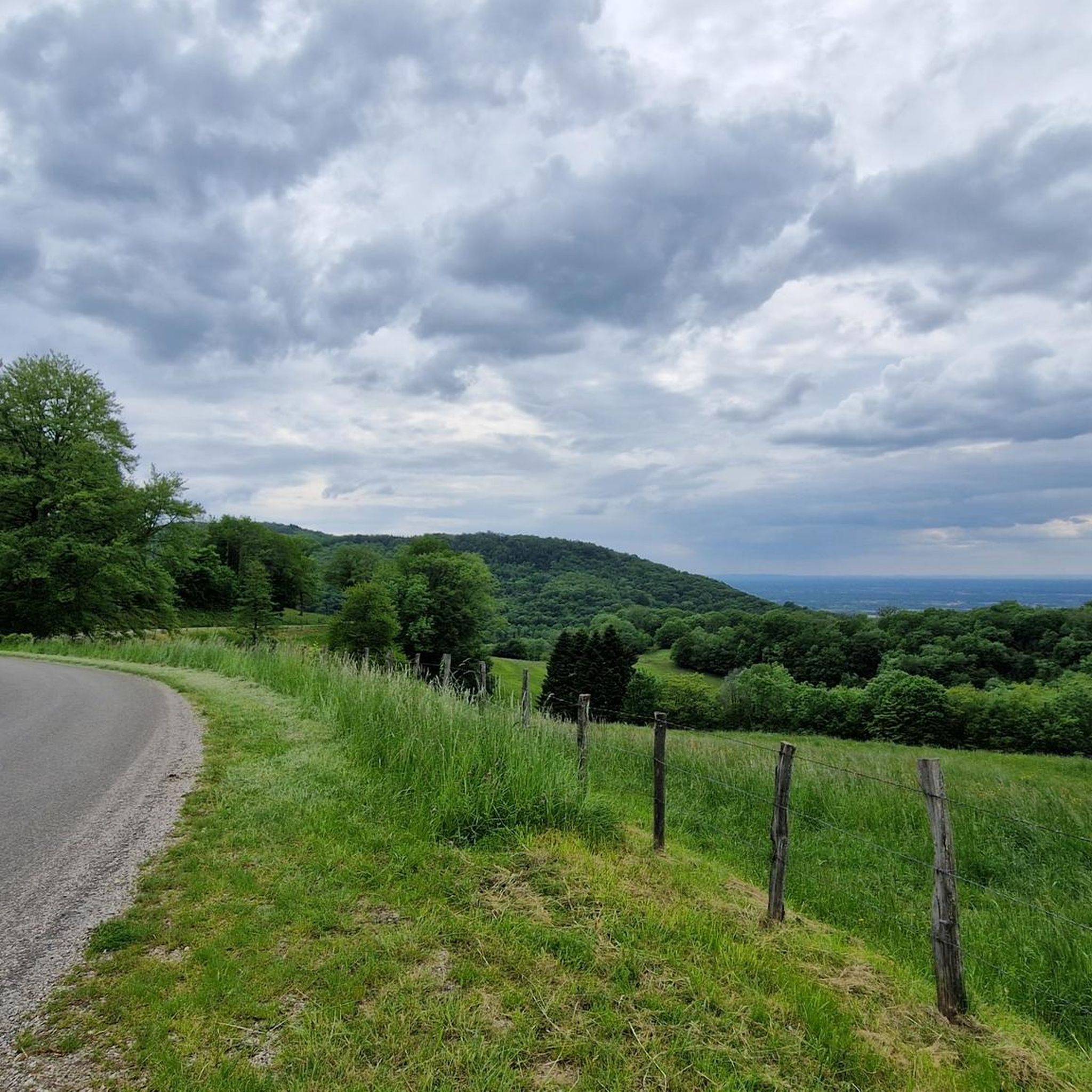
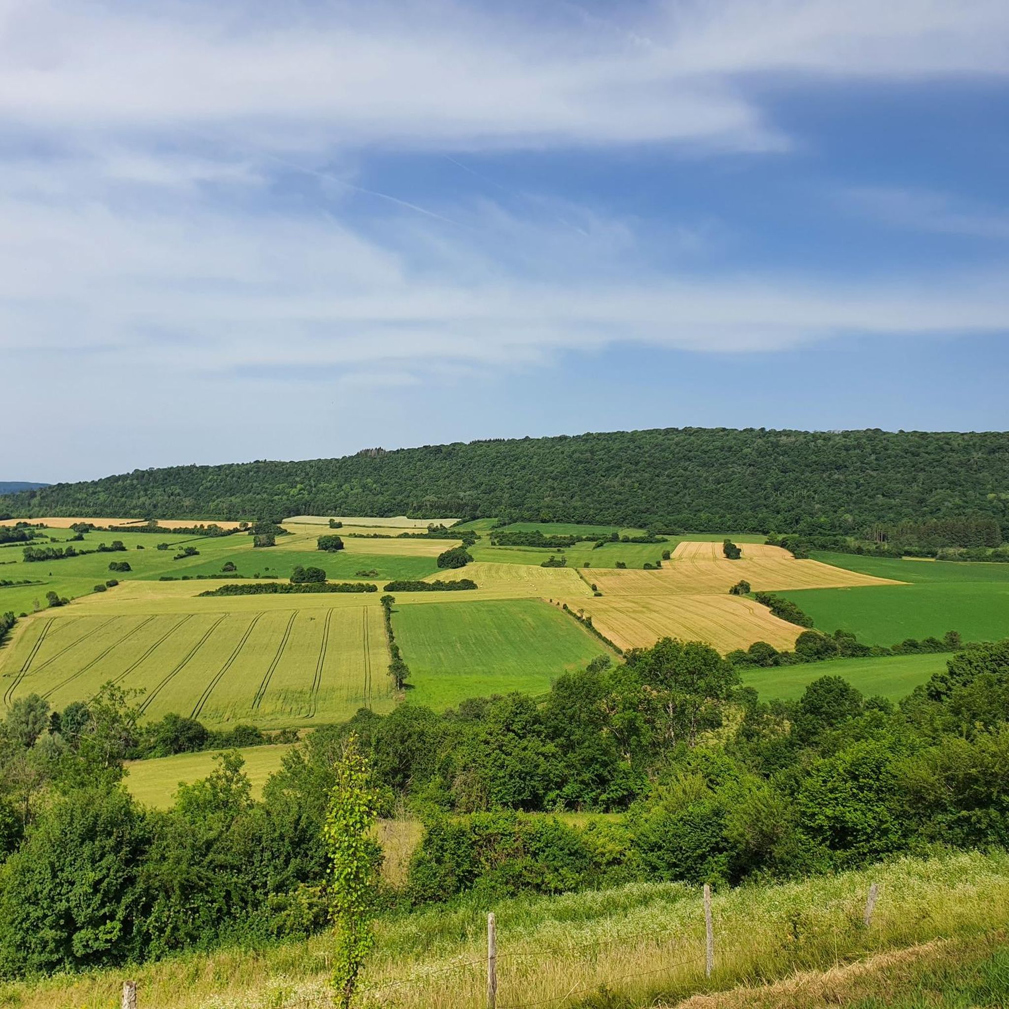
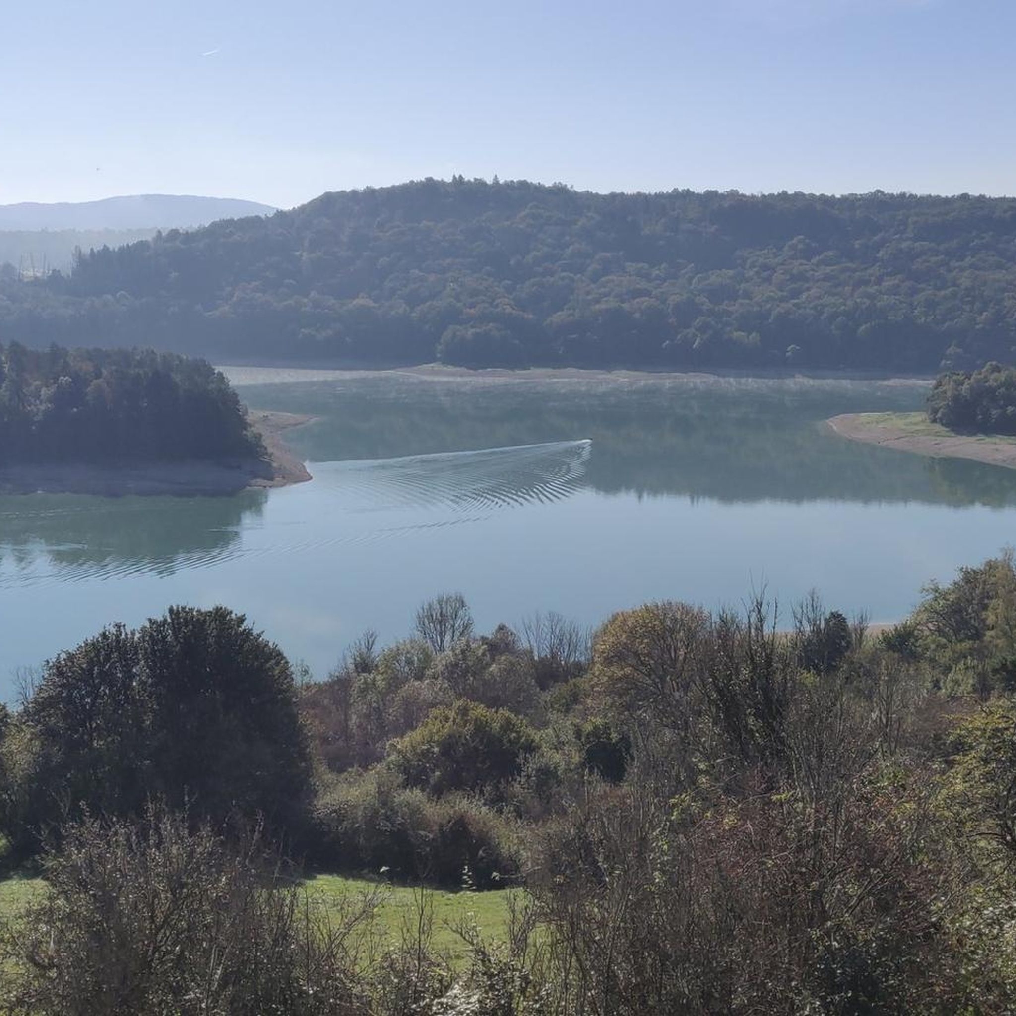
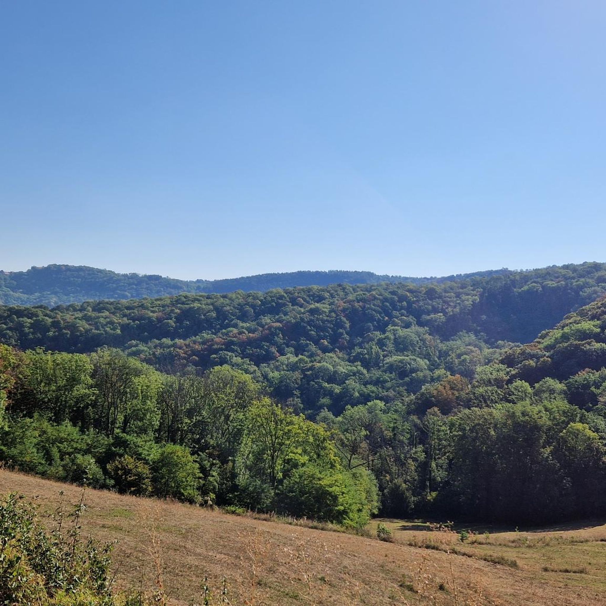
Hiking around La Chailleuse provides access to a rural landscape within the Jura department of eastern France, featuring forests, agricultural lands, and elevations between 270 and 672 meters. This varied topography places it within the "Petite Montagne" area, supporting diverse flora including fir, beech, and oak forests. The region's semi-continental climate contributes to its rich natural environment, offering a range of hiking experiences.
Best hiking trails around La Chailleuse
- The most popular hiking route is Montorient Viewpoint – The Revermont…
Last updated: October 9, 2026
5.0
(4)
24
hikers
12.2km
03:24
230m
230m
Moderate hike. Good fitness required. Easily-accessible paths. Suitable for all skill levels.
4.7
(3)
28
hikers
Moderate hike. Great for any fitness level. Mostly accessible paths. Sure-footedness required.

5.0
(3)
19
hikers
Moderate hike. Good fitness required. Easily-accessible paths. Suitable for all skill levels.
4.5
(2)
13
hikers
17.3km
05:09
510m
510m
Hard hike. Very good fitness required. Easily-accessible paths. Suitable for all skill levels.
5.0
(5)
27
hikers
13.6km
04:00
400m
400m
Moderate hike. Good fitness required. Easily-accessible paths. Suitable for all skill levels.
Get access to more routes and recommendations from other explorers.
Already have an account?
Our route recommendations are based on thousands of hikes, rides, and runs completed by other people on komoot.
Start today with a free account
Your next adventure awaits.

Tips from the Community

Beautiful resting place with wonderful views.
1
0

The Montorient belvedere offers an unobstructed 180 degree view. From there you can see Lons-le-Saunier. An orientation table allows you to find your bearings. It is an ideal place for a break or a picnic.
1
0
This ridge path offers a breathtaking view of the Bresse. You progress here in the middle of green meadows. I recommend that you stop at the Vuarde belvedere where the panorama is the clearest.
1
0

Nice view on Lons le Saunier and surroundings with pic nic table
2
0

Well secured even in front of the camera by a high wall is this beautiful privately owned castle. Although not much is visible from the castle, the place is well worth it.
6
1
Frequently Asked Questions
What kind of terrain can I expect when hiking in La Chailleuse?
La Chailleuse is characterized by a varied rural landscape, including forests, agricultural lands, and elevations ranging from 270 to 672 meters. This places it within the "Petite Montagne" area of the Jura, offering diverse topography with fir, beech, and oak forests. You'll find paths winding through woodlands, across open fields, and along ridges that provide panoramic views.
Are there hiking trails suitable for families with children in La Chailleuse?
Yes, La Chailleuse offers several family-friendly options. The region's varied terrain includes many easy to moderate paths. For example, the area around Saint-Laurent-la-Roche, part of La Chailleuse, is known for walks like the one to Le belvédère de Montorient, which is described as family-friendly and offers superb views.
What are the best viewpoints or natural features to discover on a hike in La Chailleuse?
Many trails in La Chailleuse offer excellent viewpoints. The Montorient Viewpoint – The Revermont ridges loop from Geruge and the Montorient Viewpoint – The Revermont ridges loop from Saint-Laurent-la-Roche both provide superb views over the Bresse plain and the Burgundy hillsides. Additionally, the region's forests, particularly around Varessia, are rich in diverse flora and trees, offering natural beauty.
How many hiking trails are available in La Chailleuse?
There are over 140 hiking routes available in La Chailleuse, catering to various skill levels. This includes 64 easy trails, 71 moderate trails, and 5 more difficult options, ensuring a suitable path for almost every hiker.
Are there any historical sites or landmarks I can visit while hiking in La Chailleuse?
Yes, La Chailleuse has historical points of interest. The village of Saint-Laurent-la-Roche, now part of La Chailleuse, was an ancient medieval town. While hiking, you might encounter remnants of its past. For a broader historical experience in the region, consider visiting Chevreaux Castle, which is a notable landmark nearby.
What do other hikers enjoy most about the trails in La Chailleuse?
The hiking trails in La Chailleuse are highly rated by the komoot community, with an average score of 4.6 stars from over 180 reviews. Hikers often praise the rural landscape, diverse forests, and the varied topography, including the scenic views over the Bresse plain. The network offers well-regarded options for different ability levels.
Are there any circular hiking routes in La Chailleuse?
Yes, many of the trails in La Chailleuse are designed as circular routes, allowing you to start and end in the same location. Examples include the Pointe de la Vuarde loop from Saint-Laurent-la-Roche, which takes you through varied forests and ridges, and the The Revermont ridges – Montorient Viewpoint loop from Gevingey.
What is the typical duration for a hike in La Chailleuse?
Hike durations in La Chailleuse vary significantly depending on the route and your pace. Shorter loops like the Pointe de la Vuarde loop from Saint-Laurent-la-Roche can be completed in under 2 hours, while longer, more challenging routes such as the Château de Gevingey – Montorient Viewpoint loop from Gevingey might take over 5 hours.
Are there any easy hiking trails suitable for beginners in La Chailleuse?
Absolutely. La Chailleuse offers 64 easy trails, making it a great destination for beginners or those looking for a relaxed walk. These routes typically feature less elevation gain and shorter distances, allowing for a comfortable introduction to the region's natural beauty.
What is the best time of year to go hiking in La Chailleuse?
La Chailleuse experiences a semi-continental climate, making spring, summer, and early autumn ideal for hiking. During these seasons, the weather is generally pleasant, and the natural landscapes, including the forests and agricultural lands, are at their most vibrant. Winter hiking is also possible, but trails may be affected by snow or ice, especially at higher elevations.
Are there any challenging hikes for experienced hikers in La Chailleuse?
Yes, for experienced hikers seeking a challenge, La Chailleuse offers 5 difficult routes. An example is the Château de Gevingey – Montorient Viewpoint loop from Gevingey, which features significant elevation gain and covers a distance of over 17 kilometers, providing a formidable panoramic experience in the Sud Revermont.
Most popular routes around La Chailleuse
Most popular attractions around La Chailleuse

Get inspired with the komoot mobile app


Explore more
Browse the best Hikes in other regions.
