The best cycling routes around Mignovillard
4.2
(148)
2,263
riders
247
rides
Touring cycling around Mignovillard offers routes through varied landscapes, characterized by rolling hills, forests, and open countryside. The region's terrain includes moderate ascents and descents, providing diverse cycling experiences. These routes often connect small villages and natural areas, suitable for exploring the local environment.
Best touring cycling routes around Mignovillard
- The most popular touring cycling route is Nozeroy – Chaux-Neuve loop from Bief-du-Fourg, a 40.0 miles (64.4 km) trail that takes 4 hours 12 minutes to complete. This difficult…
Last updated: June 22, 2026
46
riders
92.1km
05:46
980m
980m
Hard bike ride. Very good fitness required. Mostly paved surfaces. Suitable for all skill levels.
10
riders
24.3km
01:31
250m
250m
Moderate bike ride. Good fitness required. Mostly paved surfaces. Suitable for all skill levels.

Sign up for free
4.0
(1)
7
riders
25.0km
01:29
150m
150m
Moderate bike ride. Good fitness required. Mostly paved surfaces. Suitable for all skill levels.
5.0
(2)
13
riders
46.0km
03:01
660m
660m
Hard bike ride. Very good fitness required. Mostly paved surfaces. Suitable for all skill levels.
6
riders
23.1km
01:45
160m
160m
Moderate bike ride. Good fitness required. Mostly paved surfaces. Suitable for all skill levels.
Get access to more routes and recommendations from other explorers.
Sign up for free
Already have an account?
Our route recommendations are based on thousands of hikes, rides, and runs completed by other people on komoot.
Start today with a free account
Your next adventure awaits.
Login or Signup
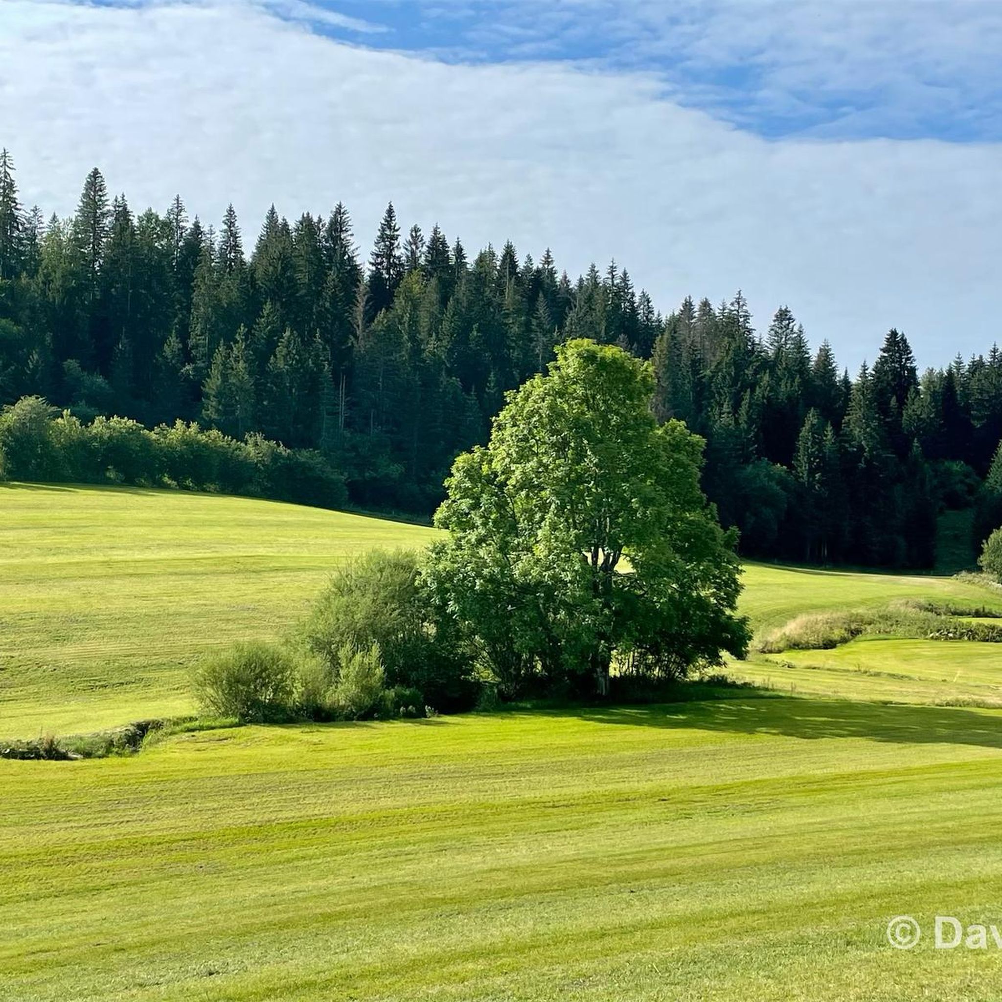
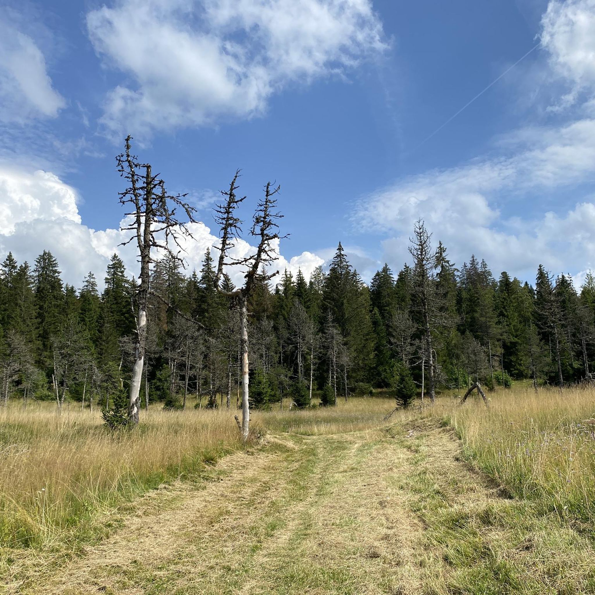
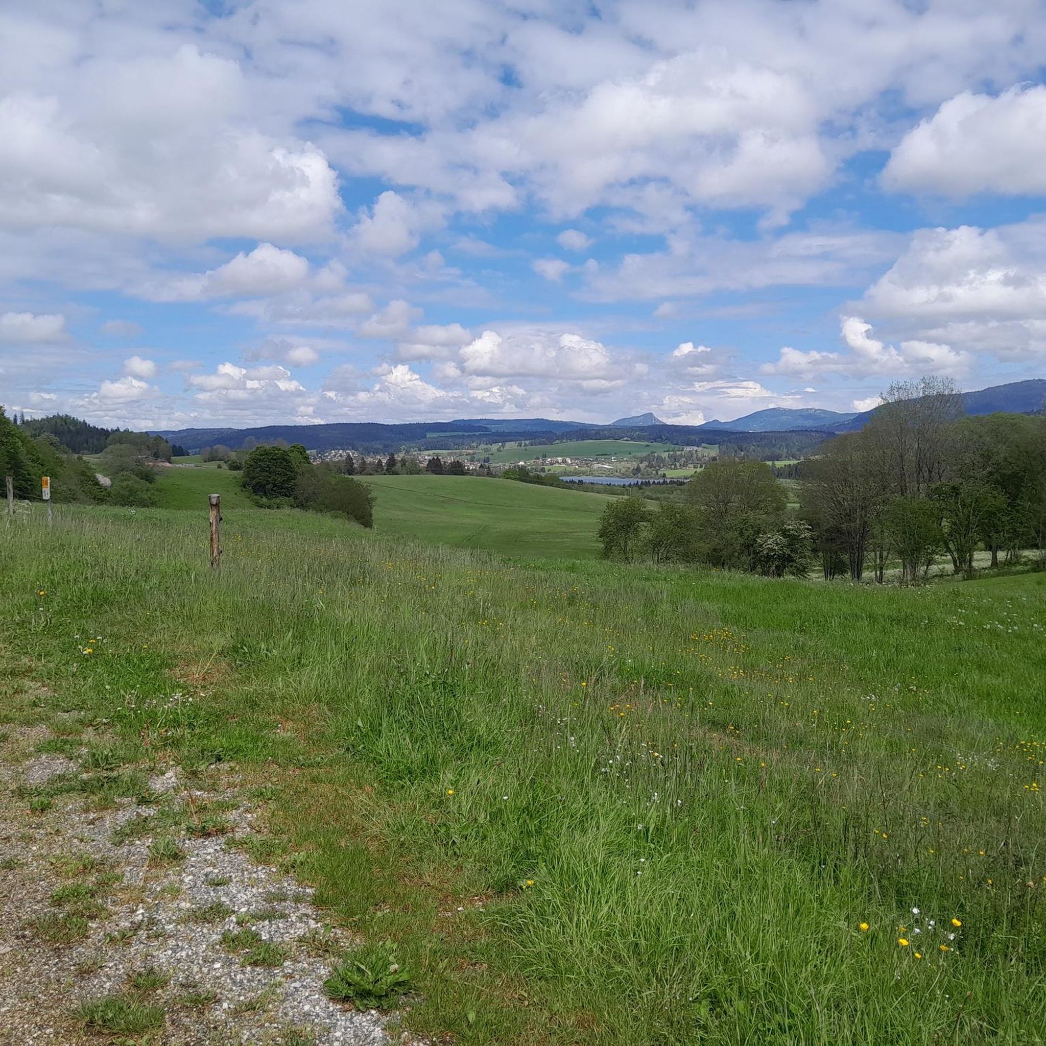

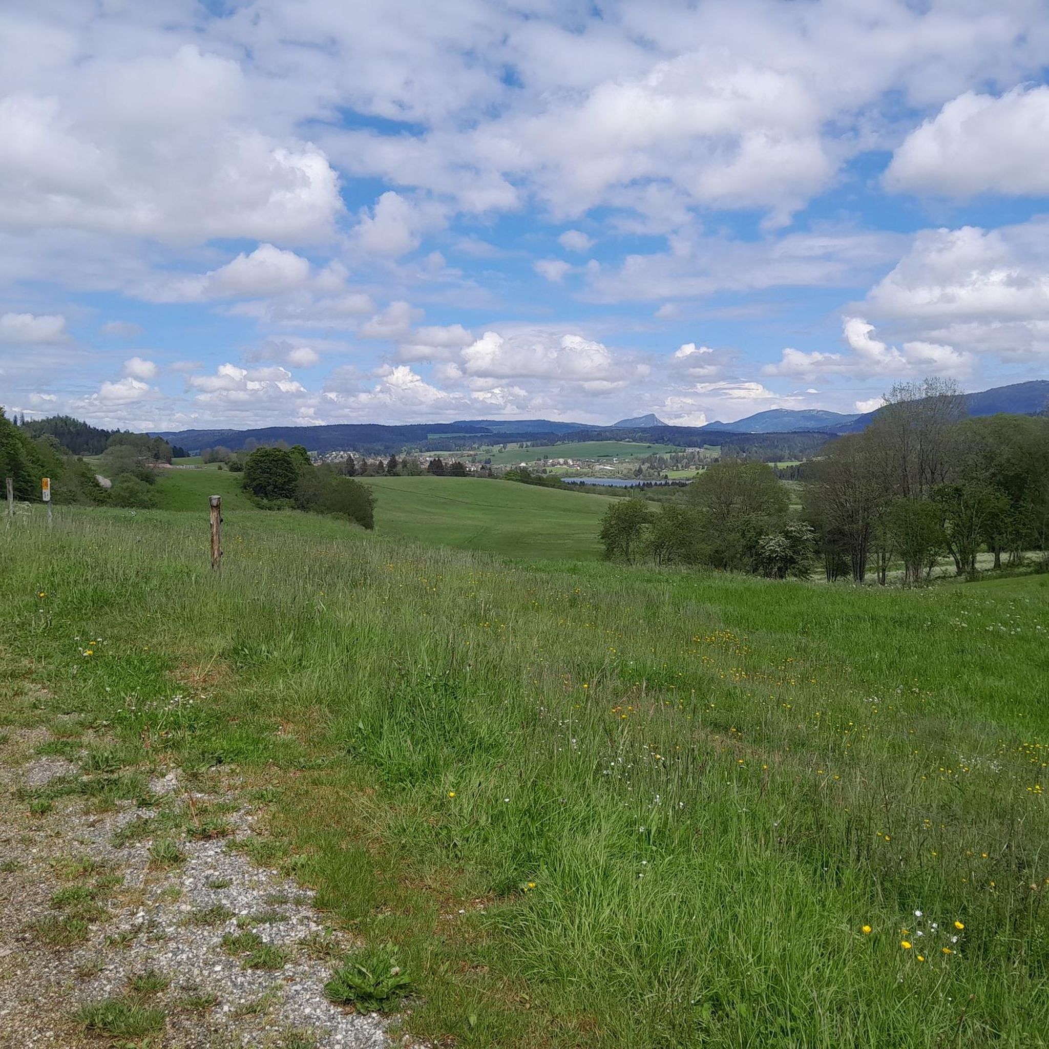
Tips from the Community

A very pretty viewpoint from the road overlooking Lake Remoray, a discreet neighbor of Lake Saint-Point. Located in the heart of a wild and preserved natural environment, it benefits from the status of a national nature reserve, and shelters a biological treasure: more than 200 species of birds, nearly 1,300 species of insects and 42 species of mammals find refuge there.
0
0


Here we drive along the Doubs, but it is not always visible because it is lower.
7
0


This lake, known for its bright blue water, crosses the Doubs in a 'valley'. This lake once formed one large body of water together with Lake Remoray. The lake is 6.3 km long and 800m wide, making it the fourth largest natural lake in France. In winter it freezes. By constructing a dam on the north side, it helps regulate the water of the Doubs.
6
0
This lake, known for its brilliant blue water, crosses the Doubs River in a valley. It once formed a single, large body of water along with Lake Remoray. The lake is 6.3 km long and 800 m wide, making it the fourth-largest natural lake in France. It freezes over in winter. Thanks to the construction of a dam on its north side, it helps regulate the flow of the Doubs.
6
0
Frequently Asked Questions
How many touring cycling routes are available around Mignovillard?
There are over 225 touring cycling routes around Mignovillard, offering a wide range of options for different skill levels and preferences.
What are the general difficulty levels of touring cycling routes in Mignovillard?
Mignovillard offers a diverse range of routes. You'll find approximately 23 easy routes, 111 moderate routes, and 91 difficult routes, ensuring options for all experience levels.
Are there any circular touring cycling routes in Mignovillard?
Yes, many touring cycling routes in Mignovillard are designed as loops. For example, the Cerniébaud loop from Mignovillard is a moderate 10.8-mile route that provides a balanced cycling experience through local landscapes.
What kind of scenery can I expect on touring cycling routes in Mignovillard?
Touring cycling around Mignovillard is characterized by rolling hills, dense forests, and expansive open countryside. Routes often connect charming small villages and natural areas, offering picturesque views throughout the Jura region.
Are there family-friendly touring cycling routes in Mignovillard?
While many routes involve moderate ascents and descents, there are easier options suitable for families. Look for routes categorized as 'easy' or 'moderate' with shorter distances, such as the Bonnevaux Church – Border Between Doubs and Jura loop from Mignovillard, which is a moderate 15.4-mile path.
What natural attractions can I explore while touring cycling around Mignovillard?
The region boasts several natural highlights. You can visit the source of the Doubs, enjoy the serene Lac de Saint-Point, or discover the beautiful Moulin du Saut Waterfall. These attractions offer great spots for a break or further exploration.
Is parking available near the touring cycling routes in Mignovillard?
Parking is generally available in and around Mignovillard, particularly in villages and near popular starting points for routes. Specific parking information can often be found on individual route pages on komoot or local tourism websites.
What do other touring cyclists enjoy most about cycling in Mignovillard?
The komoot community highly rates touring cycling in Mignovillard, with an average score of 4.2 stars from over 100 reviews. Cyclists often praise the varied terrain, the peaceful rural roads, and the opportunity to explore charming villages and natural beauty.
Are there options for beginner touring cyclists in Mignovillard?
Yes, beginners can find suitable routes. There are approximately 23 easy routes available. These typically feature less elevation gain and shorter distances, providing a gentle introduction to touring cycling in the region.
Can I bring my dog on touring cycling routes in Mignovillard?
Many touring cycling routes in Mignovillard are suitable for cycling with dogs, especially those on quiet country roads or designated paths. However, it's always advisable to check local regulations and ensure your dog is accustomed to cycling alongside you. Remember to bring water for your pet.
Are there places to eat or drink along the touring cycling routes?
Routes often pass through small villages like Nozeroy or Mouthe, where you can find local cafes, bakeries, or restaurants. It's a good idea to check the route details or a map beforehand to plan your stops for refreshments.
What is the best season for touring cycling in Mignovillard?
The best seasons for touring cycling in Mignovillard are typically spring and autumn, when the weather is mild and the landscapes are particularly beautiful. Summer can also be pleasant, though it can get warmer, especially in open areas. Winters can be cold with snow, making cycling more challenging.
Most popular routes around Mignovillard
Most popular attractions around Mignovillard

Get inspired with the komoot mobile app


Explore more
Browse the best Cycling routes in other regions.
