The best running trails around Grand-Bourgtheroulde
4.4
(59)
2,813
runners
38
runs
Jogging around Grand-Bourgtheroulde offers diverse landscapes across the Roumois plateau in Normandy, France. The region features a network of paths, including forest trails and routes that traverse varied terrain. Natural elements like the Londe-Rouvray State Forest and the Seine cliffs provide distinct environments for running. The area's topography includes gentle elevations and flat sections, catering to different fitness levels.
Best jogging routes around Grand-Bourgtheroulde
- The most popular jogging route is Running loop from Bosc-Bénard-Commin, a 6.4 miles (10.2 km)…
Last updated: July 5, 2026
21
runners
10.4km
01:06
60m
60m
Moderate run. Good fitness required. Mostly paved surfaces. Suitable for all skill levels.
21
runners
23.9km
02:51
270m
270m
Hard run. Very good fitness required. Mostly paved surfaces. Suitable for all skill levels.

Sign up for free
4.0
(2)
18
runners
8.49km
00:53
60m
60m
Moderate run. Good fitness required. Mostly paved surfaces. Suitable for all skill levels.
7
runners
5.75km
00:36
50m
50m
Moderate run. Good fitness required. Mostly paved surfaces. Suitable for all skill levels.
3.0
(1)
8
runners
7.75km
00:54
60m
60m
Moderate run. Good fitness required. Mostly paved surfaces. Suitable for all skill levels.
Get access to more routes and recommendations from other explorers.
Sign up for free
Already have an account?
Our route recommendations are based on thousands of hikes, rides, and runs completed by other people on komoot.
Start today with a free account
Your next adventure awaits.
Login or Signup



Frequently Asked Questions
How many running routes are available around Grand-Bourgtheroulde, and what are their difficulty levels?
There are over 35 jogging routes in the Grand-Bourgtheroulde area. These routes cater to various fitness levels, with 2 easy paths perfect for a relaxed run, 30 moderate trails offering a good workout, and 4 more challenging routes for experienced runners.
What kind of landscapes can I expect to see while jogging near Grand-Bourgtheroulde?
Jogging in Grand-Bourgtheroulde offers diverse landscapes across the Roumois plateau. You'll encounter dense woodlands, such as the significant Londe-Rouvray State Forest, and routes that provide breathtaking views of the Seine River and its limestone cliffs, particularly around the Roches d'Orival. Many paths also incorporate 'chemins forestiers' (forest paths).
Are there any family-friendly running trails in the Grand-Bourgtheroulde area?
While specific 'family-friendly' routes aren't explicitly detailed, the area does offer easier paths suitable for a more relaxed pace. The Keller Castle Park within Bourgtheroulde, with its three-hectare wooded area, is ideal for peaceful walks or gentle jogs that families might enjoy. For a structured route, look for the easier-rated paths available on komoot.
What do other runners enjoy most about the trails in Grand-Bourgtheroulde?
The running routes in Grand-Bourgtheroulde are highly rated by the komoot community, with an average score of 4.3 stars from over 50 reviews. Runners often praise the varied terrain, from forest paths to routes with scenic views, and the options available for different ability levels.
Can I find circular jogging routes around Grand-Bourgtheroulde?
Yes, many of the running routes in the area are circular. For instance, the Running loop from Grand Bourgtheroulde is a popular 8.5 km (5.3 miles) trail that takes you through the immediate surroundings of the town.
Are there any historical or natural landmarks to explore along the running paths?
Absolutely! The region is rich in both natural and historical sites. You can run near the spectacular White cliffs, the Roches d'Orival, which offer panoramic views of the Seine valley. The Orival Troglodyte Caves, once inhabited by 17th-century textile workers, also add a unique historical dimension to outdoor exploration in the area.
What is a good moderate-difficulty running route to try in the region?
A popular moderate-difficulty option is the Running loop from Bosc-Bénard-Commin. This 10.2 km (6.4 miles) trail typically takes about 1 hour and 5 minutes to complete and offers a good challenge through the local landscape.
Are there any longer, more challenging running routes for experienced runners?
For those seeking a more challenging run, the Étangs de la Terre à Pots loop from Bourgtheroulde - Thuit-Hébert is a difficult 23.9 km (14.9 miles) path. This longer route explores natural features, including the Étangs de la Terre à Pots, and requires good physical condition.
What are the trail conditions like, especially regarding mud?
Many routes in the Grand-Bourgtheroulde area incorporate 'chemins forestiers' (forest paths). While these offer beautiful natural surroundings, some sections can be muddy, especially after rain. It's advisable to wear appropriate footwear, particularly during wetter seasons.
Is there a running route that offers a good overview of the local natural features?
The Running loop from Bourgtheroulde-Infreville is a moderate 13.6 km (8.5 miles) route that provides a good exploration of the area's natural beauty, including sections of the Roumois plateau and glimpses of the diverse landscapes.
Are there any routes that pass by water features or lakes?
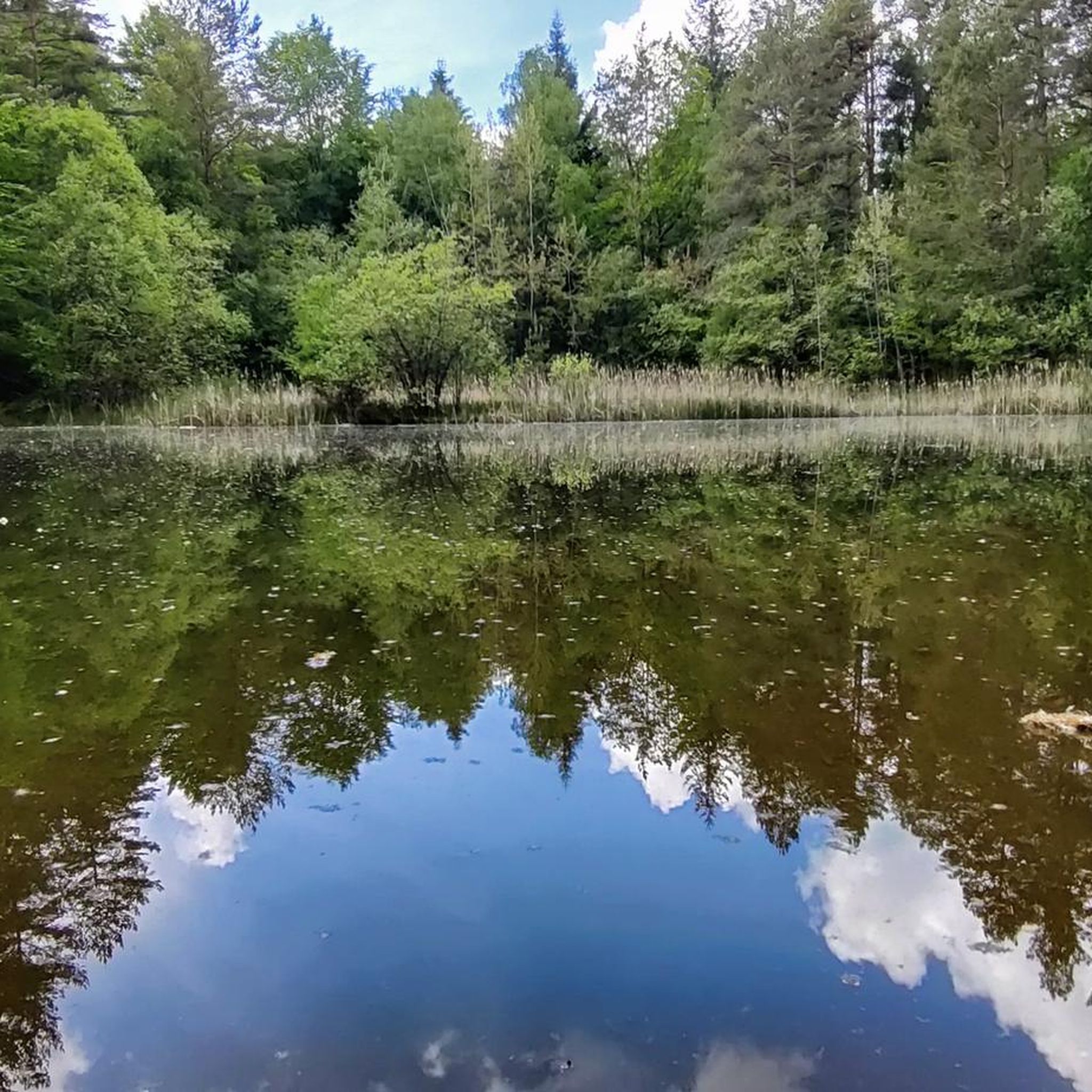
Yes, the Étangs de la Terre à Pots loop from Bosc-Bénard-Commin, a moderate 7.75 km (4.8 miles) route, specifically highlights the Étangs de la Terre à Pots, offering scenic views around these water bodies.
Most popular routes around Grand-Bourgtheroulde
Most popular attractions around Grand-Bourgtheroulde

Get inspired with the komoot mobile app


Explore more
Browse the best Running Trails & Routes in other regions.
