The best MTB trails around Le Haut-Soultzbach
4.3
(420)
1,924
riders
241
rides
Mountain biking around Le Haut-Soultzbach, located in the Haut-Rhin department of northeastern France, offers diverse landscapes for riders. The region is characterized by its proximity to the Vosges Mountains, featuring varied topography with moderate climbs and descents. Trails often wind through dense forests and provide access to the natural beauty of Alsace.
Best mountain bike trails around Le Haut-Soultzbach
- The most popular mountain bike trail is Sentheim Train Station – The Big Oak loop from Le Haut-Soultzbach, a 21.4…
Last updated: October 16, 2026
4.8
(20)
36
riders
35.2km
03:24
880m
880m
Moderate mountain bike ride. Good fitness required. Advanced riding skills necessary.
4.8
(14)
12
riders
28.4km
02:04
150m
150m
Moderate mountain bike ride. Good fitness required. Suitable for all skill levels.

5.0
(2)
14
riders
27.5km
03:08
960m
960m
Hard mountain bike ride. Very good fitness required. Advanced riding skills necessary. Some portions of the route may require you to push your bike.
4.5
(6)
9
riders
24.2km
01:40
240m
240m
Easy mountain bike ride. Great for any fitness level. Suitable for all skill levels.
4.3
(4)
9
riders
17.5km
01:13
100m
100m
Easy mountain bike ride. Great for any fitness level. Suitable for all skill levels.
Get access to more routes and recommendations from other explorers.
Already have an account?
Our route recommendations are based on thousands of hikes, rides, and runs completed by other people on komoot.
Start today with a free account
Your next adventure awaits.


Tips from the Community

During the First World War, this spring was part of the German fortifications. It was redeveloped in 1931, recalling the town's military past and how water was supplied there. It is one of the points of interest on the Bunker Trail.
1
0

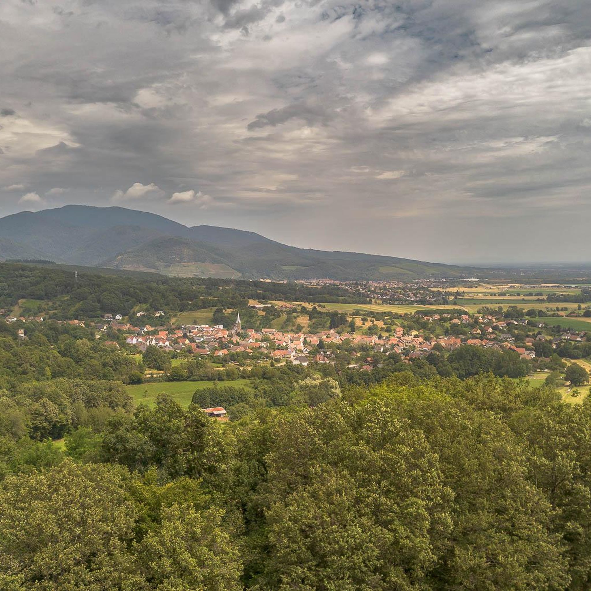
The Col du Hunsrück (748 m) is a quiet and wooded pass above Willer-sur-Thur. The steady climb and beautiful nature make this a pleasant classic in the southern Vosges, with connections to both the Thur and Dollervallei valleys.
6
0

Hagendorn Spring The Hagendorn spring near Burnhaupt-le-Bas is a very old and particularly abundant spring. Its name has been documented as a field name since 1412. The name „Hagendorn“ probably refers to a place overgrown with hawthorn. The place name Burnhaupt is also likely connected to the old word for „spring“ or „well“. The spring gained particular significance for the history of the place during the First World War. After the stabilization of the front in Upper Alsace, the German-French front ran approximately along the line Cernay – Pont d’Aspach – Ammerzwiller. East of or in the vicinity of this front line, German troops erected numerous concrete shelters, observation posts, and artillery positions. German fortifications were also built at the Hagendorn spring. Traces of the fortification from that time can still be recognized there today, including concrete components. The spring was thus part of a larger military system of positions that the German troops used during trench warfare. Numerous other shelters and observation posts from that period can be discovered along the current Sentier des Bunkers. The spring itself was rebuilt or redesigned in 1931. The current structure partially covers the preserved remains of the wartime fortification underneath. Thus, the Hagendorn spring connects two very different aspects of the place's history: a centuries-old water supply and the military landscape of the First World War. Today, the spring is station 18 of the Sentier des Bunkers, an approximately nine-kilometer-long historical circular trail through the former front landscape of Burnhaupt-le-Bas. https://burnhaupt-le-bas.fr/sentier-des-bunkers/?utm_source=chatgpt.com
0
1

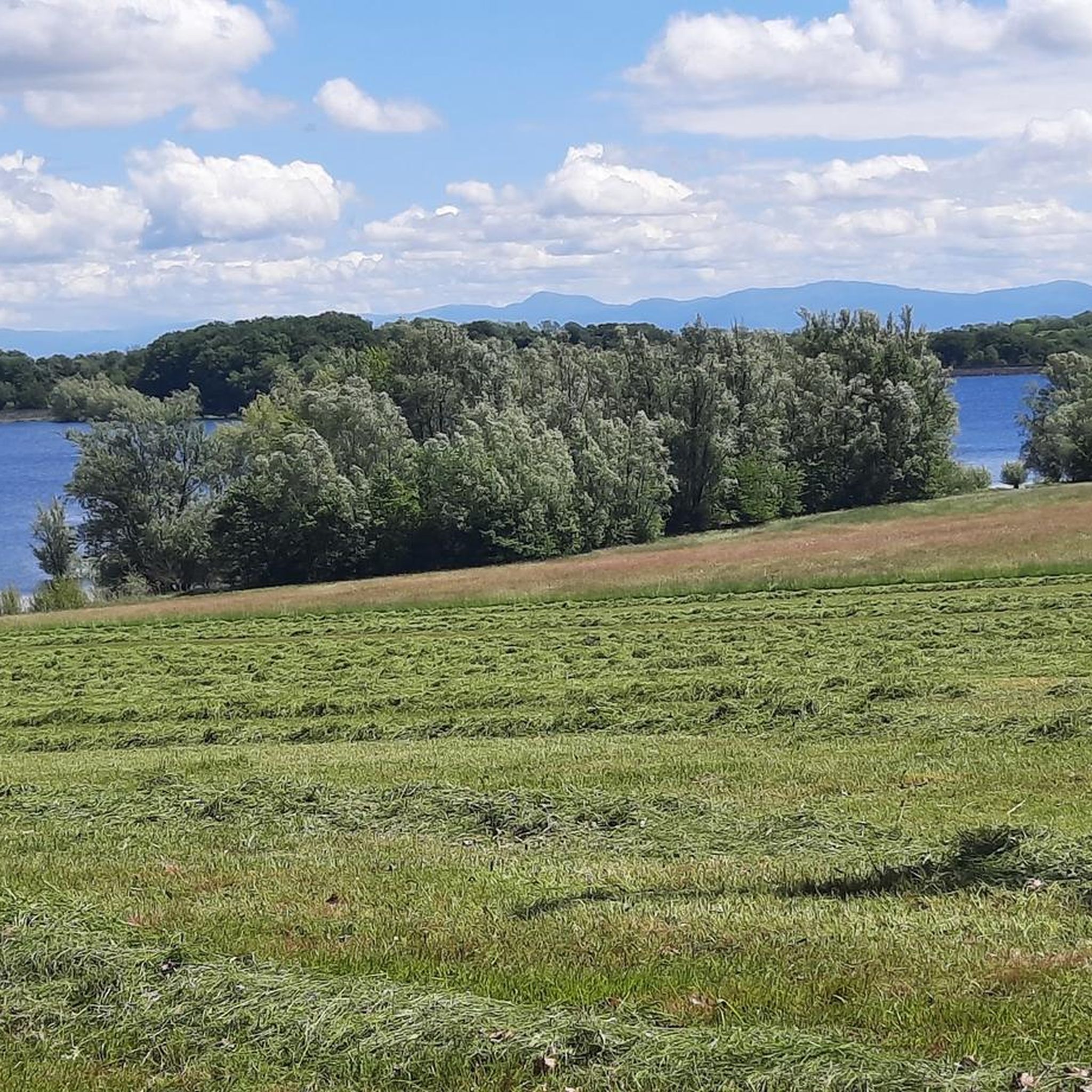
the Michelbach lake is a place where you can stop for a picnic during hikes or bike rides
0
0

Please take the nature conservation restrictions seriously. Otherwise, you will not only disturb the fauna, but the rangers on site are also very conscientious and ensure strict adherence. Dogs on a leash, take your trash with you, stay on the paths, and do not picnic in the grass. But that goes without saying.
0
0


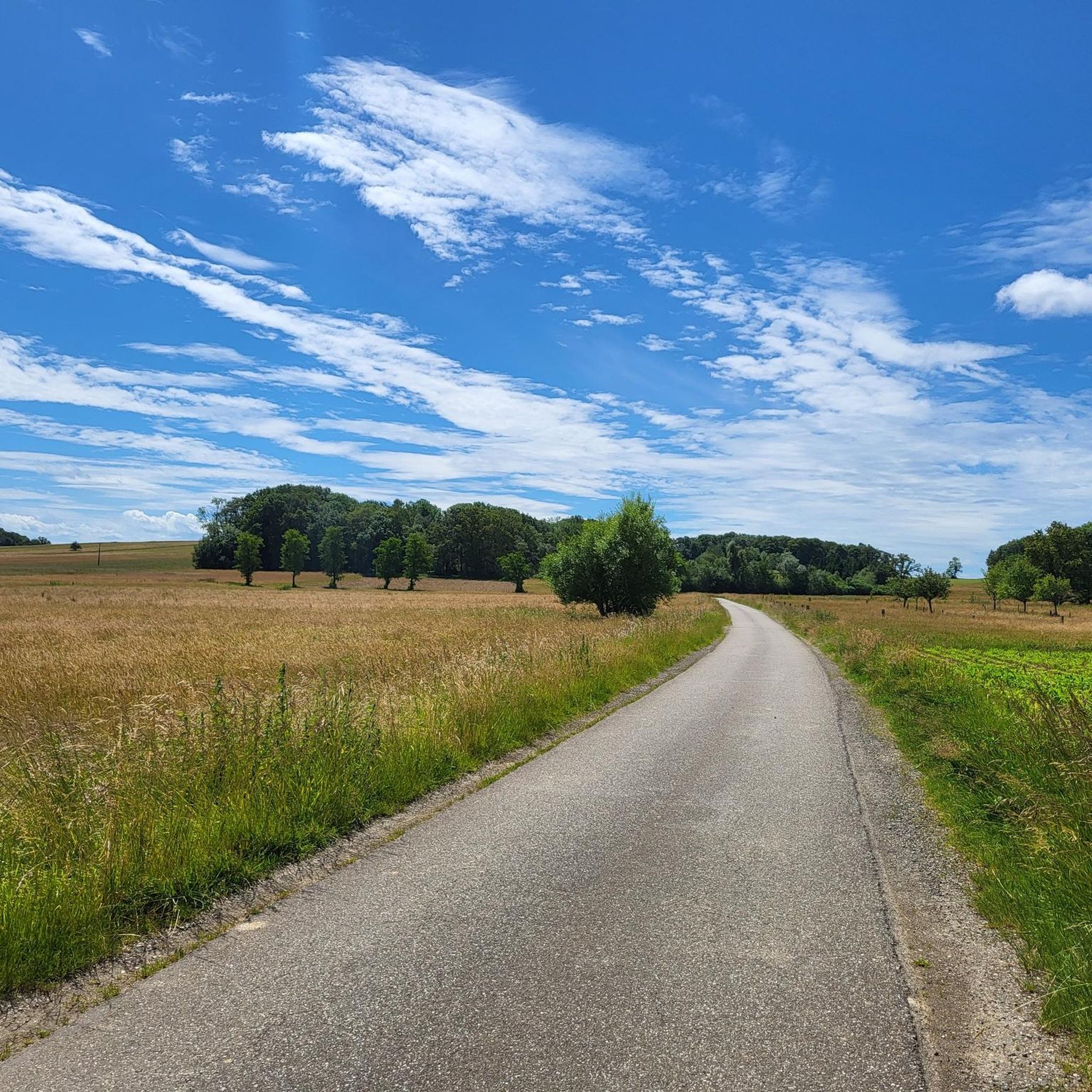
This bike path is very, very nice, and there's even a bench. The bike path is also under trees.
0
0
Frequently Asked Questions
How many mountain bike trails are available around Le Haut-Soultzbach?
There are over 200 mountain bike routes around Le Haut-Soultzbach. These trails cater to various skill levels, with 48 easy, 131 moderate, and 60 difficult options, ensuring a diverse riding experience in the Vosges Mountains.
Are there easy mountain bike trails suitable for beginners or families near Le Haut-Soultzbach?
Yes, there are several easy mountain bike trails. For a gentle ride, consider the Bellemagny – Le puits fontaine loop from Bretten, which is 24.2 km long and takes about 1 hour 40 minutes. Another accessible option is the Michelbach Dam – Michelbach Lake loop from Guewenheim, a 17.4 km route that can be completed in about 1 hour 12 minutes.
What kind of terrain can I expect on mountain bike trails in Le Haut-Soultzbach?
The terrain around Le Haut-Soultzbach is diverse, characterized by its proximity to the Vosges Mountains. You can expect varied topography with moderate climbs and descents, dense forests, and some routes offering panoramic views of the Alsace plain. Trails often wind through natural landscapes, including gentle mountain pastures.
Are there any challenging mountain bike routes for experienced riders?
Absolutely. For experienced riders seeking a challenge, the Ballon d'Alsace – Ballon d'Alsace loop from Le Haut-Soultzbach is a difficult 65.2 km path featuring significant elevation changes within the Vosges Mountains. This route provides substantial climbs and breathtaking views.
What are some scenic viewpoints or natural features to look out for on the trails?
Many trails offer scenic views, especially those in the Vosges Mountains. On clear days, routes like those near the Hundsrück pass can offer views of the Alsace plain, Franche-Comté, Jura, and even the Alps. You might also encounter natural features like Michelbach Lake or the Fuchsfelsen Viewpoint.
What do other mountain bikers enjoy most about mountain biking in Le Haut-Soultzbach?
The area is highly rated by the komoot community, with an average score of 4.4 stars from over 280 reviews. Reviewers often praise the diverse landscapes, the variety of trails for different skill levels, and the opportunity to explore the natural beauty of the Vosges Mountains and surrounding forests. Over 1,400 mountain bikers have used komoot to explore this region.
Are there any circular mountain bike routes available?
Yes, many routes around Le Haut-Soultzbach are designed as loops. Examples include the moderate Sentheim Train Station – The Big Oak loop from Le Haut-Soultzbach, which is 34.4 km, and the easy Michelbach Dam – Michelbach Lake loop from Guewenheim, covering 17.4 km.
What is the best time of year to go mountain biking in Le Haut-Soultzbach?
The region is generally suitable for mountain biking from spring through autumn. During these seasons, the weather is typically more favorable, and the trails through the forests and mountain pastures are most enjoyable. Winter conditions, especially in the higher elevations of the Vosges Mountains, can bring snow and ice, making some trails impassable or more challenging.
Are there any historical or cultural attractions near the mountain bike trails?
While the focus is on natural beauty, the broader Alsace region offers cultural points of interest. You might find historical sites such as the The Witch's Eye (Engelbourg Castle) or the Valdieu-Lutran lock scale. The charm of Alsatian villages also provides a picturesque backdrop for your rides.
Are there any routes that follow waterways or feature dams?
Yes, you can find routes that incorporate water features. The Michelbach Dam – Michelbach Lake loop from Guewenheim is an easy route that takes you around Michelbach Lake. Another option is the moderate Singletrack Along the Water – Michelbach Dam loop from Guewenheim, which also explores the area around the dam.
Is it possible to combine mountain biking with exploring vineyards in the area?
While Le Haut-Soultzbach itself is more focused on forests and mountains, the Alsace region is renowned for its vineyards. You can find routes like Through the vineyards along the Thur, which allows you to experience the viticultural landscape, often on dedicated cycle paths.
Where can I find more information about mountain biking in the broader Alsace region?
For more general information about mountain biking circuits and opportunities in the wider Alsace region, you can consult resources like visit.alsace, which provides details on various routes and bases in the area.
Most popular routes around Le Haut-Soultzbach
Most popular attractions around Le Haut-Soultzbach

Get inspired with the komoot mobile app


Explore more
Browse the best MTB trails in other regions.
