The best road cycling routes around Thoras
4.5
(30)
977
riders
96
rides
Road cycling routes around Thoras are situated in a rural commune within France's Haute-Loire department, part of the Auvergne-Rhône-Alpes region. This area is characterized by a medium-mountain zone, with terrain elevation ranging from 960 to 1,371 meters. The landscape offers diverse road cycling opportunities through valleys and past historical sites, providing a challenging and scenic environment for cyclists.
Best road cycling routes around Thoras
- The most popular road cycling route is Route de la Vallée (D88) – Joncherette fountain loop…
Last updated: June 29, 2026
5.0
(2)
84
riders
52.6km
02:45
970m
970m
Hard road ride. Very good fitness required. Mostly well-paved surfaces and easy to ride.
13
riders
54.7km
02:40
770m
770m
Moderate road ride. Good fitness required. Mostly well-paved surfaces and easy to ride.

Sign up for free
4.0
(1)
9
riders
44.0km
02:16
780m
780m
Moderate road ride. Good fitness required. Mostly well-paved surfaces and easy to ride.
7
riders
78.3km
03:55
1,250m
1,250m
Hard road ride. Very good fitness required. Mostly well-paved surfaces and easy to ride.
10
riders
48.9km
02:35
920m
920m
Hard road ride. Very good fitness required. Mostly well-paved surfaces and easy to ride.
Get access to more routes and recommendations from other explorers.
Sign up for free
Already have an account?
Our route recommendations are based on thousands of hikes, rides, and runs completed by other people on komoot.
Start today with a free account
Your next adventure awaits.
Login or Signup
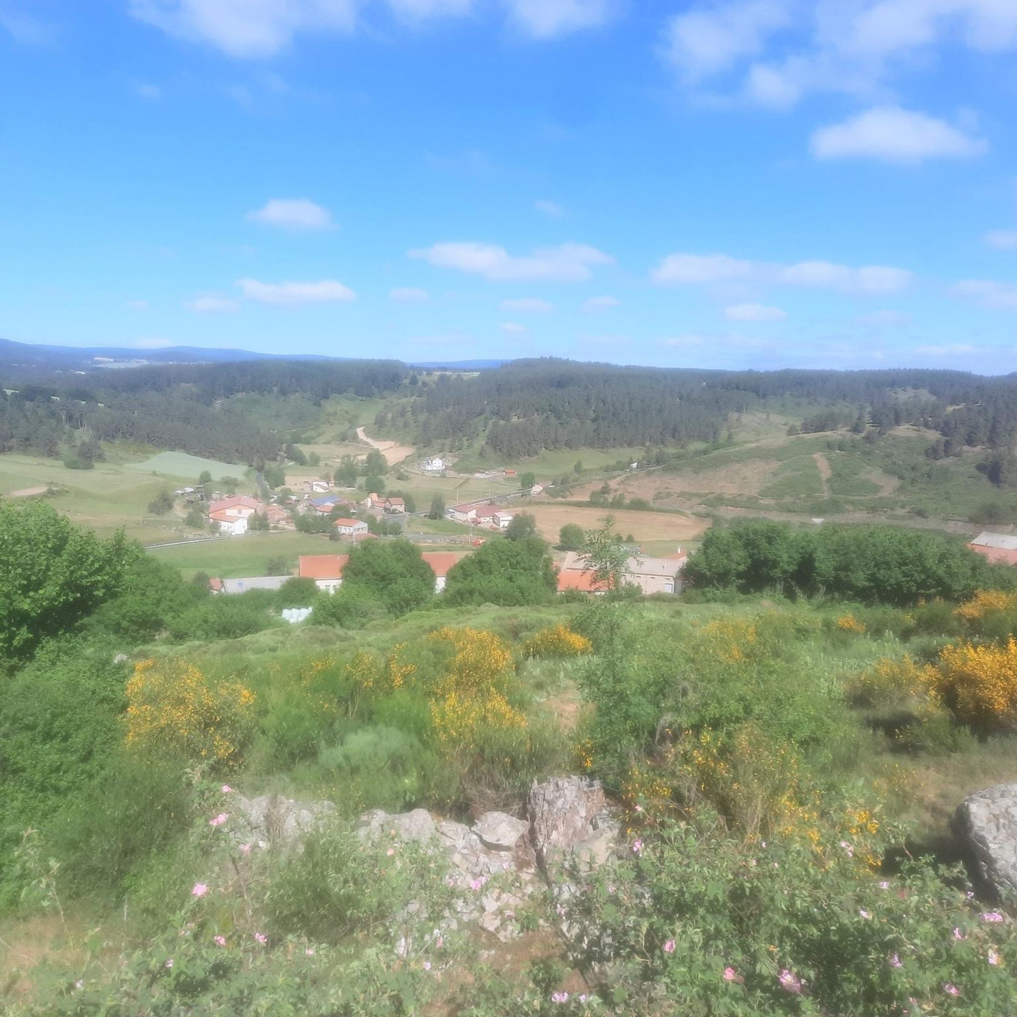
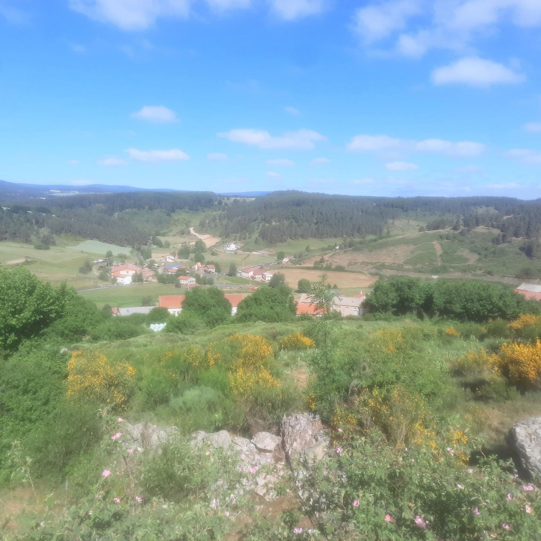
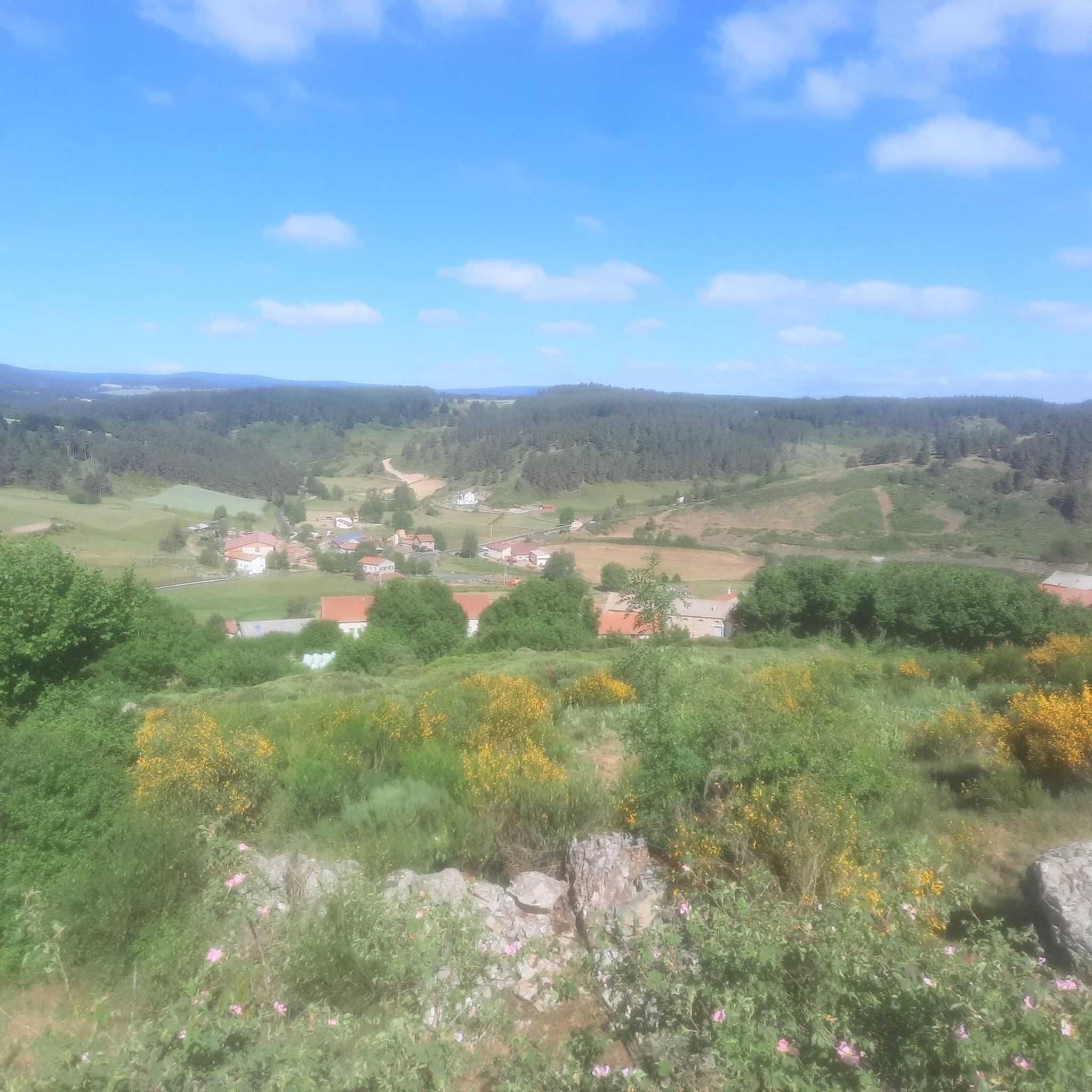
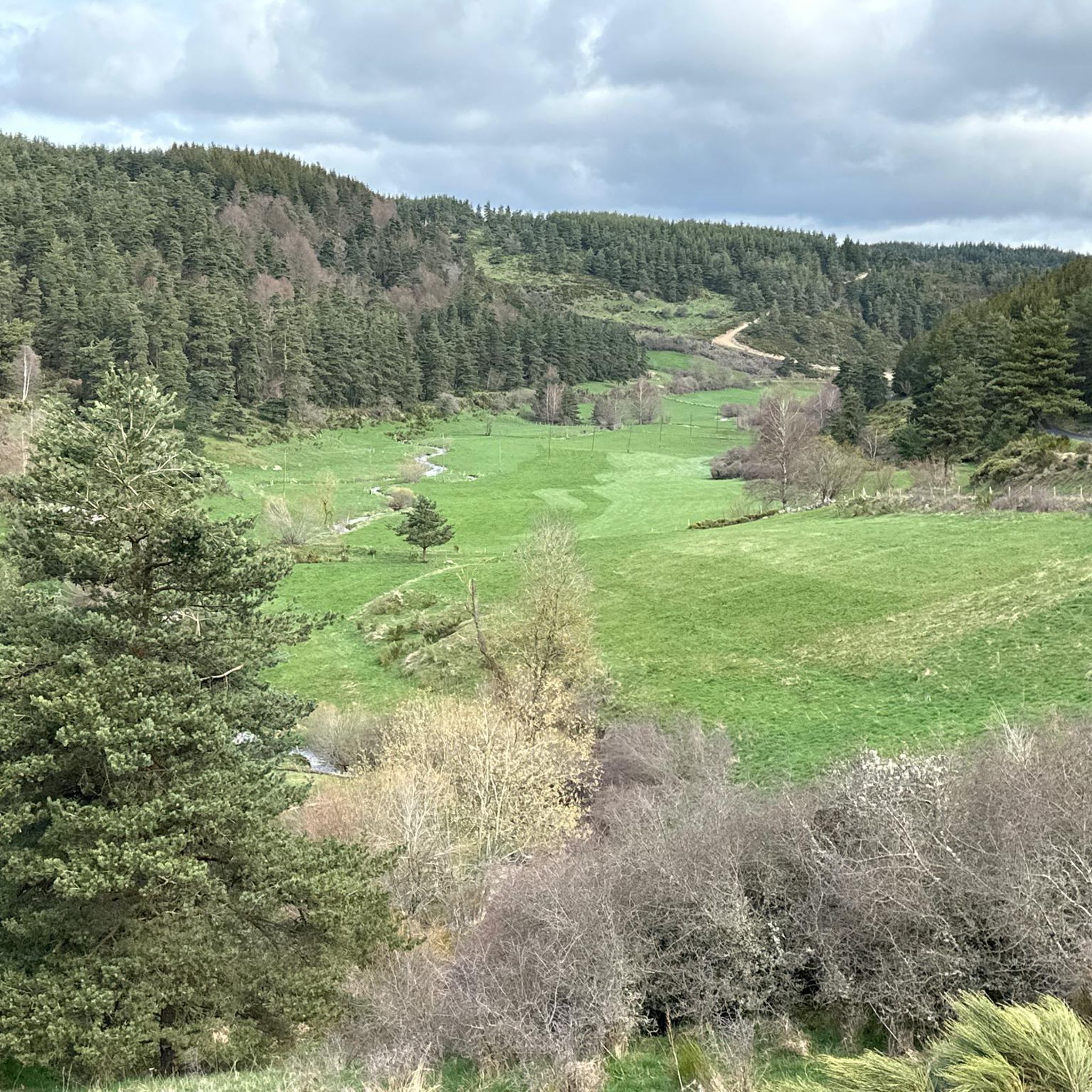

Tips from the Community

We passed and enjoyed this during our Camino trip in 2025: https://youtu.be/xZkbnoCtUzE
1
0
We passed and enjoyed this during our Camino trip in 2025: https://youtu.be/xZkbnoCtUzE
0
0
On our Camino / GR65 path: https://youtu.be/xZkbnoCtUzE
0
0

The existence of this fortified castle is mentioned as early as the 12th century. It is believed to have been built on an even older fortress. In 1764, the Château de Saint-Alban was requisitioned as headquarters to organize raids aimed at eliminating the Beast of Gévaudan.
1
0
Unexpected and yet very present! In the middle of this wild part of the Margeride massif you will find this superb washing and repair station for your bike: compressor, all valves and tools are available free of charge, while the washing device requires a contribution (normal). Also take the opportunity to fill your water bottles thanks to the small tap on the left.
0
0

He not only constructed the Eiffel Tower, Gustav Eiffel
0
0


Look out for a sign for the bar/restaurant belonging to the camping - in Spring 2025 it is the only open gastronomy we encountered in this beautiful town
0
0
Frequently Asked Questions
What kind of terrain can I expect on road cycling routes around Thoras?
Thoras is situated in a medium-mountain zone within France's Haute-Loire department, with elevations ranging from 960 to 1,371 meters. You can expect diverse road cycling opportunities through valleys and past historical sites, offering a challenging and scenic environment with significant elevation changes.
How many road cycling routes are available in the Thoras area?
There are over 80 road cycling routes around Thoras documented on komoot, catering to various skill levels. This includes 1 easy route, 33 moderate routes, and 49 difficult routes, ensuring options for every cyclist.
Are there any family-friendly road cycling options in Thoras?
While many routes in Thoras feature significant elevation changes and are rated moderate to difficult, there is at least one easy route available. For families, it's advisable to check the specific route details for distance and elevation to ensure it matches your family's cycling ability.
What do other cyclists say about road biking in Thoras?
The road cycling routes in Thoras are highly rated by the komoot community, with an average score of 4.6 stars from nearly 30 reviews. Over 1000 road cyclists have used komoot to explore the varied terrain, often praising the challenging climbs and scenic rural landscapes.
What are some notable landmarks or viewpoints I can see while cycling in Thoras?
Along the routes, you can discover several interesting points. Highlights include the historic Saint Madeleine Chapel, the Saint James Chapel of Rochegude, and the impressive Eiffel Bridge in Monistrol-d'Allier. You might also pass by Le Sauvage Pilgrims' Hostel or the unique Wooden sculptures in Saugues.
Are there any challenging road cycling climbs near Thoras?
Yes, Thoras is known for its challenging terrain. Many routes feature significant elevation gains, such as the difficult Saint-Haon – Le Pont d'Alleyras loop from Bel-Air-Val-d'Ance, which includes over 1200 meters of ascent over 62.5 km. Cyclists seeking demanding climbs will find plenty of options.
Can I find circular road cycling routes in Thoras?
Absolutely. Many of the road cycling routes around Thoras are designed as loops, allowing you to start and finish in the same location. Examples include the Route de la Vallée (D88) – Joncherette fountain loop from Chambon-le-Château and the Saugues Town Center – Esplantas Castle loop from Chanaleilles.
What is the best time of year for road biking in Thoras?
Given its medium-mountain climate, the best time for road cycling in Thoras is typically during the warmer months, from late spring to early autumn. This period offers more favorable weather conditions and less chance of adverse mountain weather, making for a more enjoyable ride.
Are there routes that connect towns or historical sites?
Yes, several routes are designed to connect local towns and historical points. For instance, the Esplantas Castle – Saugues Town Center loop from Chambon-le-Château leads through rolling hills and past historical landmarks, offering a blend of scenic beauty and cultural exploration.
Are there any routes along rivers or valleys?
Yes, the region's landscape includes valleys that offer scenic cycling. The Saugues Town Center – Along the Ance River loop from Esplantas is a great example, providing a route that follows the Ance River through picturesque surroundings.
What is the general difficulty level of road cycling in Thoras?
Road cycling in Thoras is generally characterized by its medium-mountain zone, meaning routes often involve significant elevation changes. While there are moderate options, a large number of routes are rated as difficult, making it a rewarding destination for experienced cyclists seeking a challenge.
Most popular attractions around Thoras

Get inspired with the komoot mobile app


Explore more
Browse the best Road cycling routes in other regions.
