The best MTB trails around Les Trois-Châteaux
4.2
(48)
222
riders
51
rides
Mountain biking around Les Trois-Châteaux offers a diverse landscape of rolling hills, dense forests, and open valleys. The region is characterized by its varied terrain, providing a mix of challenging climbs and flowing descents. Trails often navigate through wooded areas and past agricultural lands, with some routes featuring moderate elevation changes.
Best mountain bike trails around Les Trois-Châteaux
- The most popular mountain bike trail is Singletrail – Singletrail loop from Verjon, a 29.1 miles (46.9 km) trail that takes…
Last updated: July 2, 2026
4.4
(7)
27
riders
74.9km
04:51
570m
570m
Moderate mountain bike ride. Good fitness required. Suitable for all skill levels.
5.0
(1)
8
riders
24.3km
02:22
630m
630m
Moderate mountain bike ride. Good fitness required. Advanced riding skills necessary.

Sign up for free
5.0
(1)
6
riders
19.8km
01:46
480m
480m
Moderate mountain bike ride. Good fitness required. Advanced riding skills necessary.
5.0
(2)
9
riders
54.0km
05:04
1,300m
1,300m
Hard mountain bike ride. Very good fitness required. Advanced riding skills necessary. Some portions of the route may require you to push your bike.
5.0
(1)
3
riders
27.2km
02:32
720m
720m
Moderate mountain bike ride. Good fitness required. Advanced riding skills necessary.
Get access to more routes and recommendations from other explorers.
Sign up for free
Already have an account?
Our route recommendations are based on thousands of hikes, rides, and runs completed by other people on komoot.
Start today with a free account
Your next adventure awaits.
Login or Signup
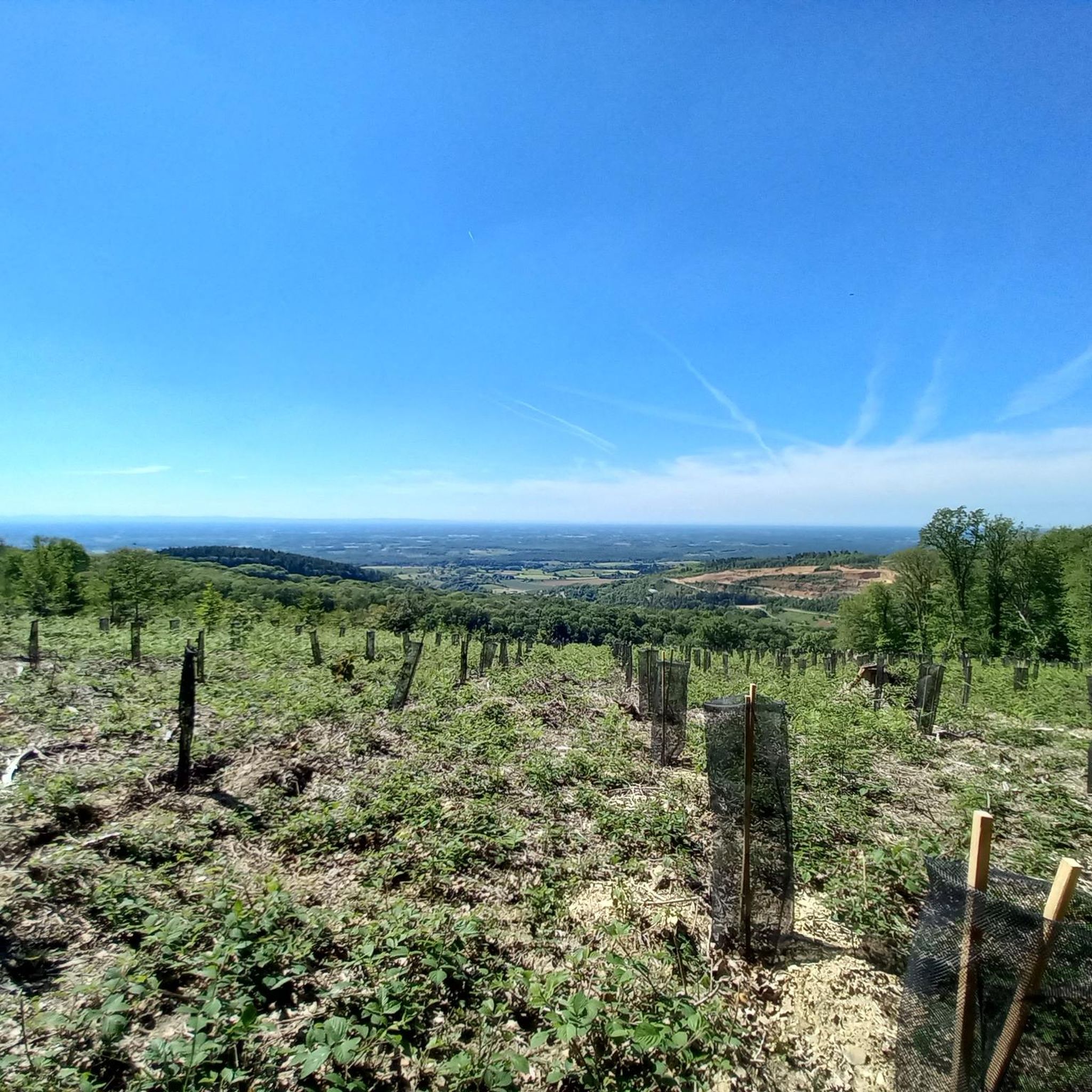
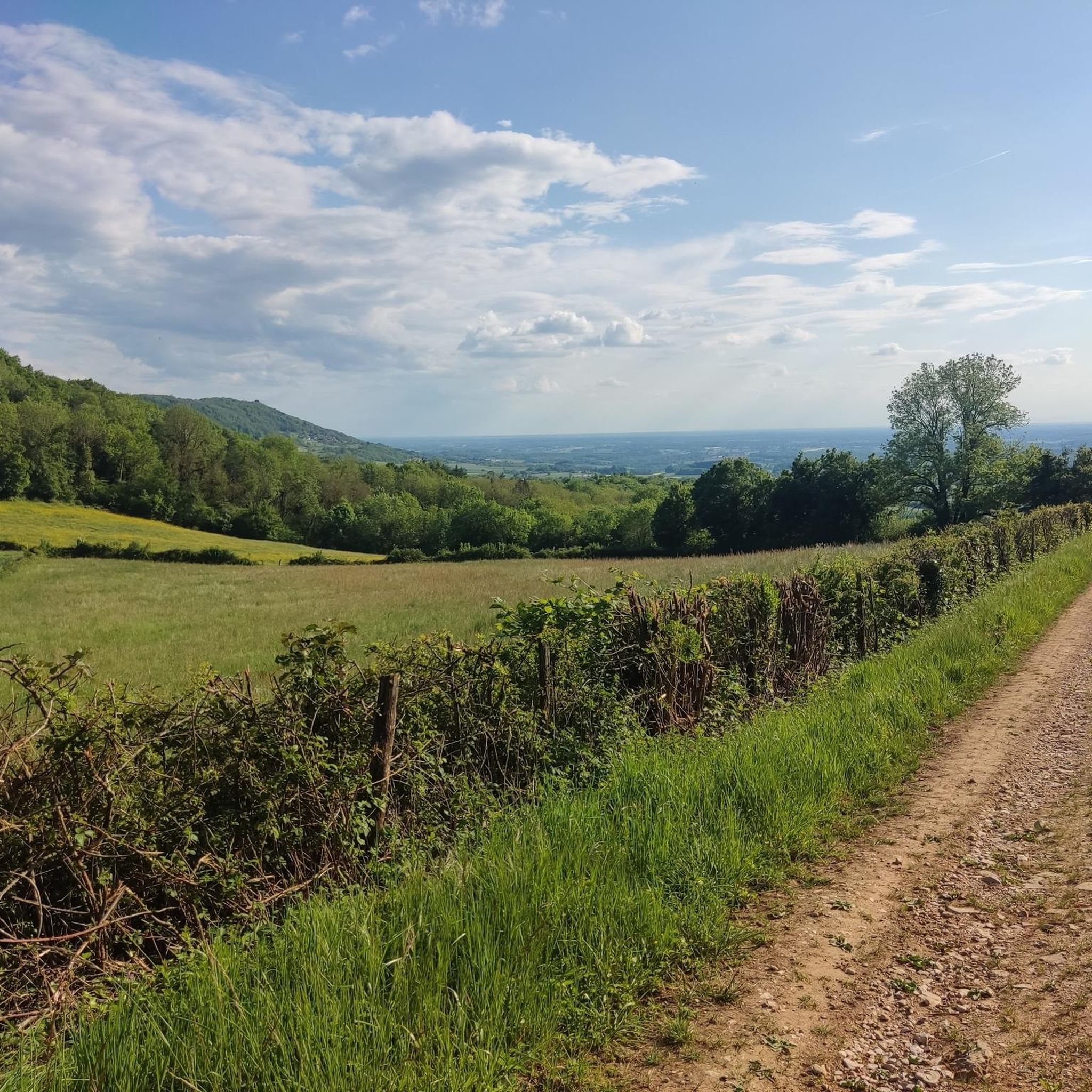
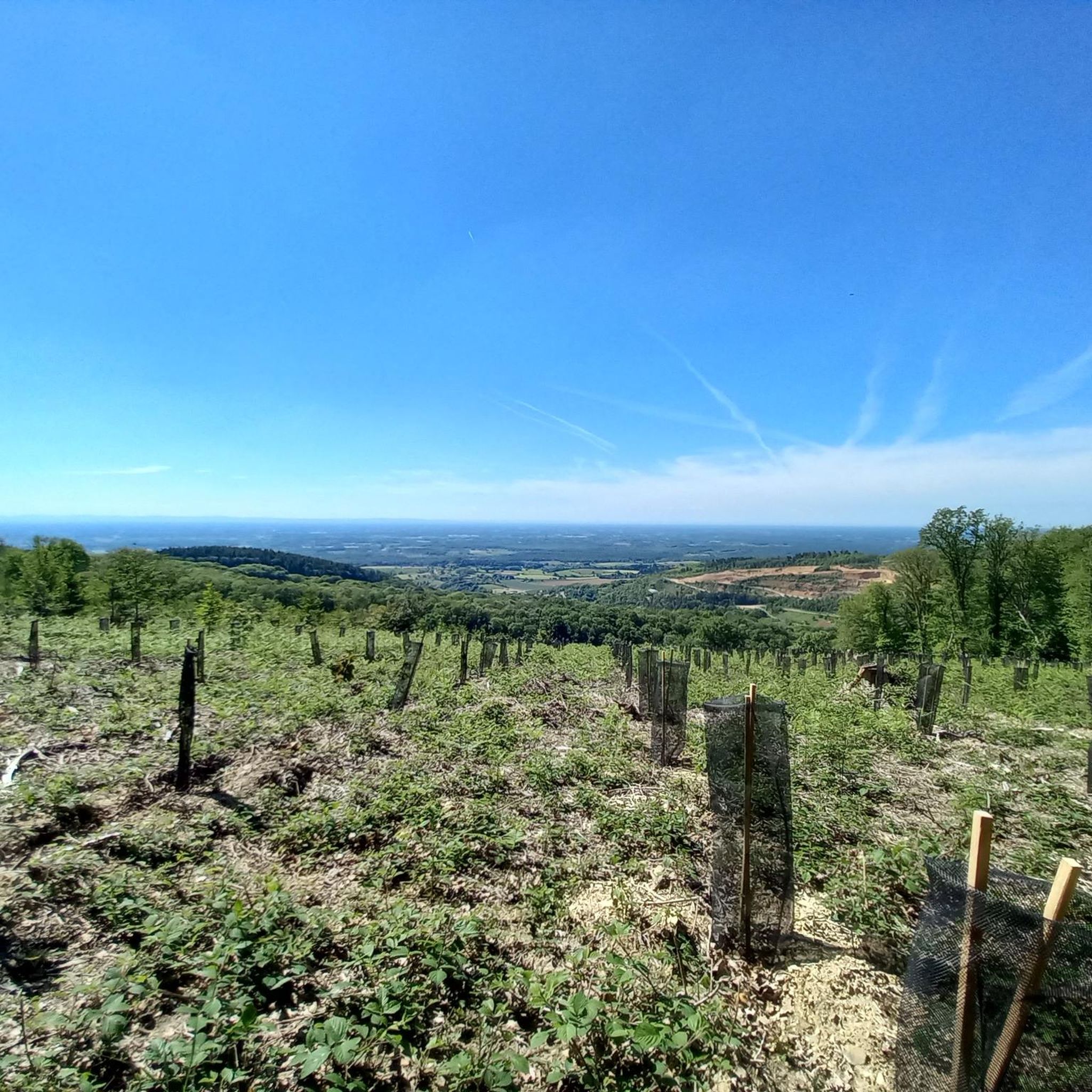

Tips from the Community

The lake of Montrevel-en-Bresse hosts numerous activities and infrastructures on its shore, such as the leisure center La Plaine Tonique, its campsite and its aquatic area, a must-see in the Ain region.
1
0
The Cézille mill is a typical watermill from the Bresse region. It formerly used the motive power of the Reyssouze, an emblematic river of the region, to grind the product of the important local grain cultivation. Today it houses a museum.
0
0


Foissiat has a striking water tower. Foissiat is a French commune with 2,014 inhabitants in the Ain department in the Auvergne-Rhône-Alpes region. It belongs to the canton of Attignat in the arrondissement of Bourg-en-Bresse. Wikipedia
0
0
Relay station on the Mont du Gouillat
0
0

The Roman roads of Revermont make it possible to make the connection between various cities and nearby ancient agglomerations (Bourg-en-Bresse, Coligny, Lons-le-Saunier). Difficult to date and little studied, this building was the subject of a vast restoration campaign in the 1980s carried out by volunteers, which today allows us to walk in the footsteps of our ancestors. You can discover the traces left by the passage of wheels in the cobblestones and enjoy the shaded path that leads to the Montagna belvedere.
0
0
Frequently Asked Questions
How many mountain bike trails are available in Les Trois-Châteaux?
There are over 40 mountain bike trails recorded in Les Trois-Châteaux on komoot, offering a variety of options for different skill levels. This includes 7 easy, 27 moderate, and 6 difficult routes.
What do other mountain bikers say about the trails in Les Trois-Châteaux?
The mountain bike trails in Les Trois-Châteaux are highly rated by the komoot community, with an average score of 4.2 stars from over 40 reviews. Riders often praise the diverse landscape, including rolling hills, dense forests, and scenic ponds.
Are there easy mountain bike trails for beginners in Les Trois-Châteaux?
Yes, Les Trois-Châteaux offers 7 easy mountain bike trails suitable for beginners. These routes typically feature less challenging terrain and elevation changes, allowing new riders to enjoy the region's natural beauty at a comfortable pace.
Are there challenging mountain bike trails for experienced riders in Les Trois-Châteaux?
Absolutely. For experienced riders seeking a challenge, there are 6 difficult mountain bike trails. An example is the Singletrail – Singletrail loop from Verjon, which is 29.1 miles (46.9 km) long and features significant elevation gain through varied forest paths.
Are there mountain bike trails that form a loop in Les Trois-Châteaux?
Many of the mountain bike trails in Les Trois-Châteaux are designed as loops, allowing you to start and finish at the same point. For instance, the Nice view – Louvarel Pond loop from Louvarel is a popular 15.9 miles (25.5 km) circular route through woodlands and past Louvarel Pond.
What are the typical distances for mountain bike trails in Les Trois-Châteaux?
Trail distances vary significantly, ranging from shorter loops of around 12 miles (20 km) to longer, more extensive routes exceeding 45 miles (70 km). For example, the Foissiat Water Tower – Singletrail with muddy parts loop from Saint-Amour covers 45.6 miles (73.3 km).
Is there parking available near the mountain bike trails in Les Trois-Châteaux?
Yes, parking is generally available at or near the trailheads in Les Trois-Châteaux, especially in villages or designated recreational areas. It's advisable to check specific starting points for the most convenient parking options.
Are there family-friendly mountain bike trails in Les Trois-Châteaux?
While specific 'family-friendly' designations aren't always explicit, many of the 7 easy and 27 moderate trails can be suitable for families, depending on their experience level. Look for routes with less technical terrain and manageable distances.
What is the best time of year for mountain biking in Les Trois-Châteaux?
The best time for mountain biking in Les Trois-Châteaux is typically from spring through autumn (April to October). During these months, the weather is generally mild, and the trails are less likely to be muddy, offering optimal riding conditions. Winter riding is possible but can be challenging due to colder temperatures and potentially wet or icy conditions.
Can I find cafes or places to eat near the mountain bike trails?
Yes, the region has several villages and towns, such as Cuiseaux and Châtel, where you can find cafes, bakeries, and restaurants to refuel before or after your ride. Many trails pass close to these settlements, making it convenient to stop for a break.
What kind of views or viewpoints can I expect on the mountain bike trails?
The trails often offer scenic views of the rolling hills, dense forests, and open valleys characteristic of the region. You might also encounter specific viewpoints like the Chanelet Viewpoint, providing panoramic vistas of the surrounding landscape.
Are there any historical sites or landmarks to see while mountain biking?
Yes, the area around Les Trois-Châteaux is rich in history. You can encounter landmarks such as Chevreaux Castle or sections of the Ancient Roman Road of Montagna, adding a cultural dimension to your ride.
Are there any less-trafficked or 'hidden gem' mountain bike trails in Les Trois-Châteaux?
While popular routes like the Mountainbike loop from Saint-Amour are well-loved, the region's extensive network means you can often find quieter paths, especially on weekdays or by exploring some of the moderate-difficulty routes that venture deeper into the forests and less populated areas.
Most popular attractions around Les Trois-Châteaux

Get inspired with the komoot mobile app


Explore more
Browse the best MTB trails in other regions.
