The best walks and hikes around Oskarshamn
4.5
(213)
815
hikers
38
hikes
Hiking around Oskarshamn offers diverse landscapes, from deep forests to a unique archipelago. The region is characterized by its varied terrain, including coastal paths, cultural landscapes with pastures, and areas shaped by ancient geological events. Hikers can explore a network of trails that traverse peninsulas, points by the sea, and the characteristic forests of Småland. This area provides opportunities for exploring both inland and coastal environments.
Best hiking trails around Oskarshamn
- The most popular hiking route is Tjust Trail and Stora Ramm Loop, a 11.6 miles (18.6 km) trail that takes about 4 hours 50 minutes to complete. This moderate route passes by Stora Ramm Lake within Västra Marströmmens Naturreservat.
- Another top favourite among local hikers is Döderhultsdalen Trail, an easy 2.8 miles (4.5 km) path. This trail winds through meadows and pine forests, making it suitable for various fitness levels.
- Local hikers also love the The church – Blå Jungfrun Summit loop from Blå Jungfrun National Park, a 2.2 miles (3.5 km) trail leading through Blå Jungfrun National Park, often completed in about 1 hour.
- Hiking around Oskarshamn is defined by its archipelago with thousands of islands, deep forests, and historic cultural landscapes. The network offers options for different ability levels, from easy strolls to moderate long-distance routes.
- The routes in Oskarshamn are highly rated by the komoot community with an average score of 4.5 stars from more than 160 reviews. More than 600 hikers have used komoot to explore Oskarshamn's varied terrain.
Last updated: October 12, 2026
7
hikers
3.98km
01:03
10m
10m
Easy hike. Great for any fitness level. Easily-accessible paths. Suitable for all skill levels.
4.5
(2)
6
hikers
18.6km
04:52
140m
140m
Hike the moderate 11.6-mile Roundabout Mörtfors trail in Västra Marströmmens Naturreservat, passing Stora Ramm Lake and Mörtfors.

5.0
(1)
8
hikers
3.83km
00:58
10m
10m
Easy hike. Great for any fitness level. Easily-accessible paths. Suitable for all skill levels.
4.0
(1)
4
hikers
4.55km
01:11
20m
20m
Hike the easy Döderhultsdalen trail, a 2.8-mile route through meadows and pine forests near Oskarshamn, perfect for families.
4.7
(10)
59
hikers
Easy hike. Great for any fitness level. Easily-accessible paths. Suitable for all skill levels.
Get access to more routes and recommendations from other explorers.
Already have an account?
Our route recommendations are based on thousands of hikes, rides, and runs completed by other people on komoot.
Start today with a free account
Your next adventure awaits.

Tips from the Community

The Trojaborg labyrinths have existed since the Bronze Age. They consist of an arrangement of hundreds of stones laid out in 7 or 11 concentric circles. These stone labyrinths are very common throughout the Nordic region, particularly in Sweden. There are more than 300 of them, dating from different periods, varying in size, and in varying states of preservation.
0
0
Blå Jungfrun the summit of an uninhabited island int the Kalmarsund. It is the highest point of it and is located in the middle of the Blå Jungfrun National Park since 1926. Up there, you have an incredible view over the sea and find a rocky platform to have a rest and enjoy a calm moment.
0
0
“Kyrkan” (which means “church” in Swedish) is a series of natural caves and rock formations dating back to the Ice Age. They form a tunnel that you enter through a wooden staircase waving through the rock.
0
0
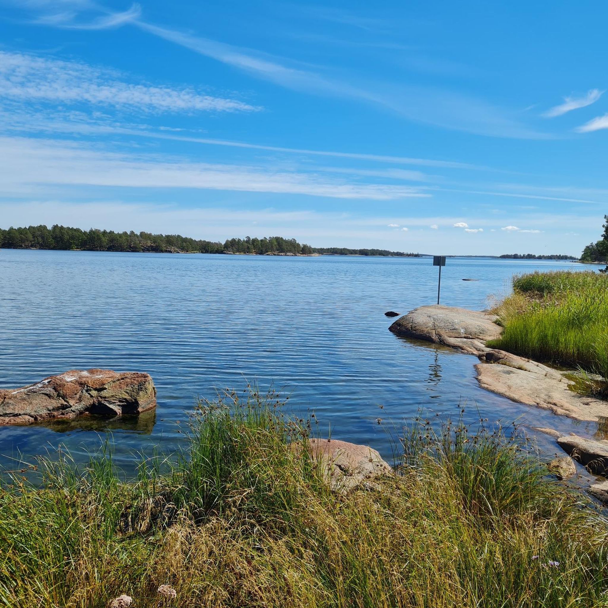
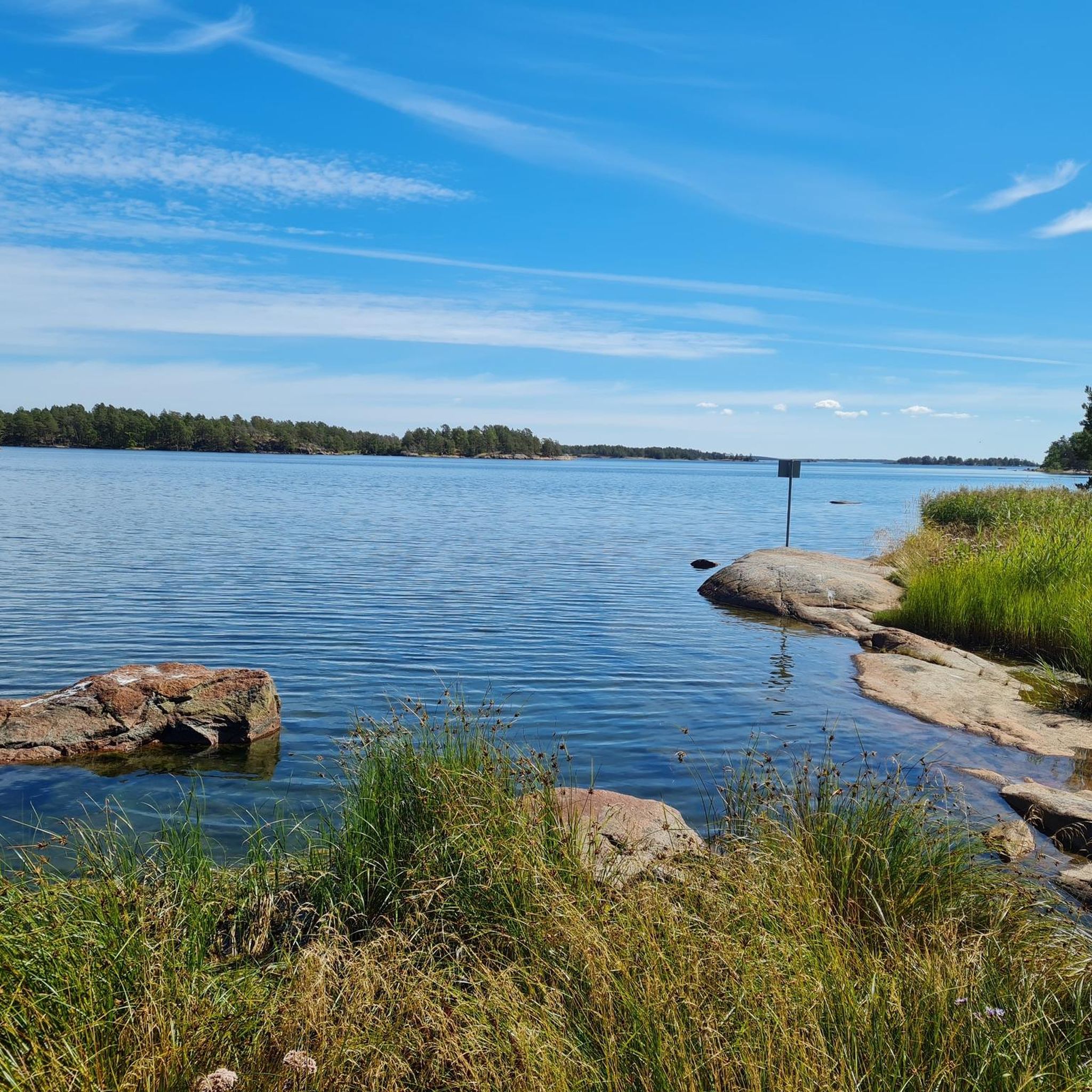
What could be better than a little secluded bench facing the sea to spend a moment of tranquility, enjoying the peace and quiet and breathing in the fresh air? You're there!
0
0
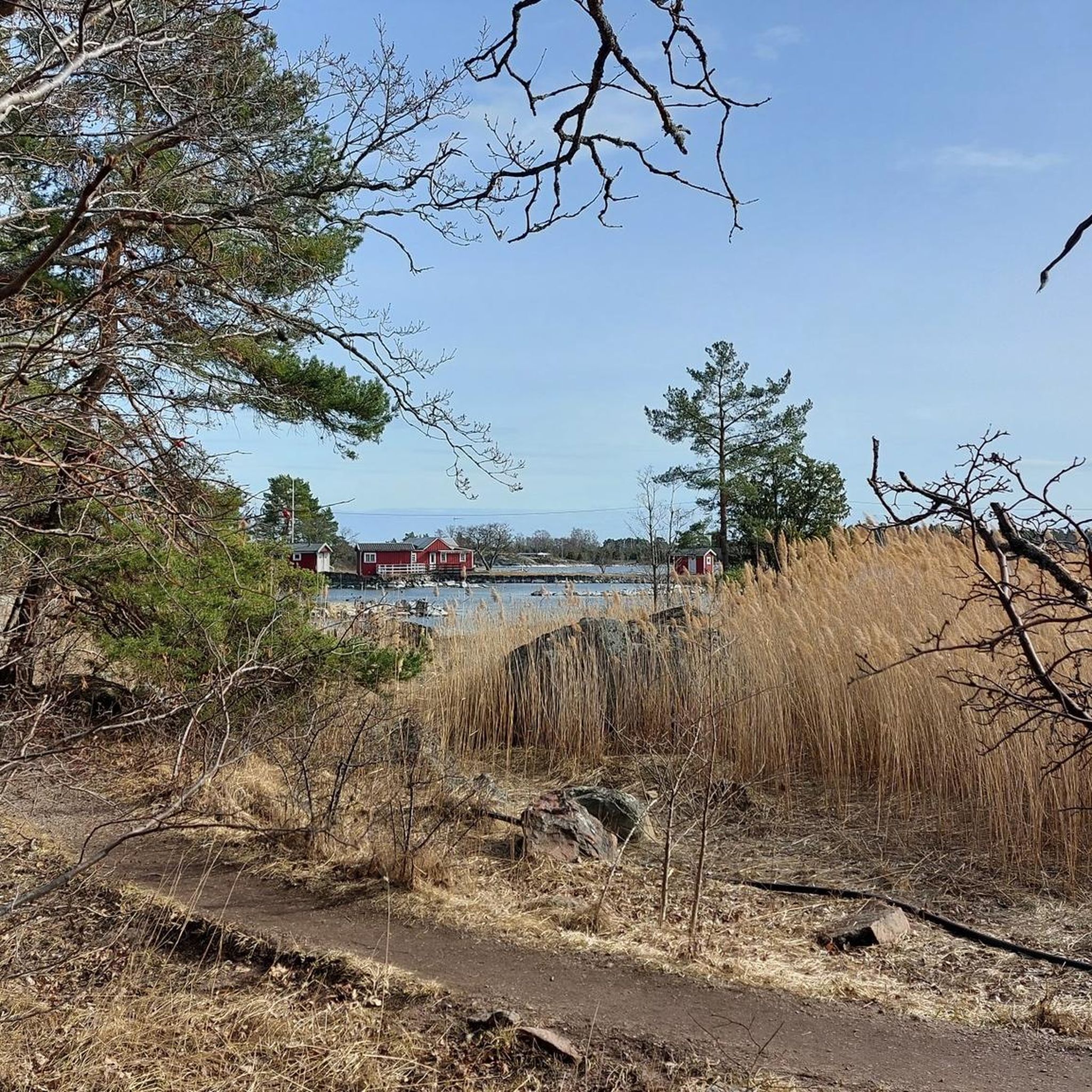
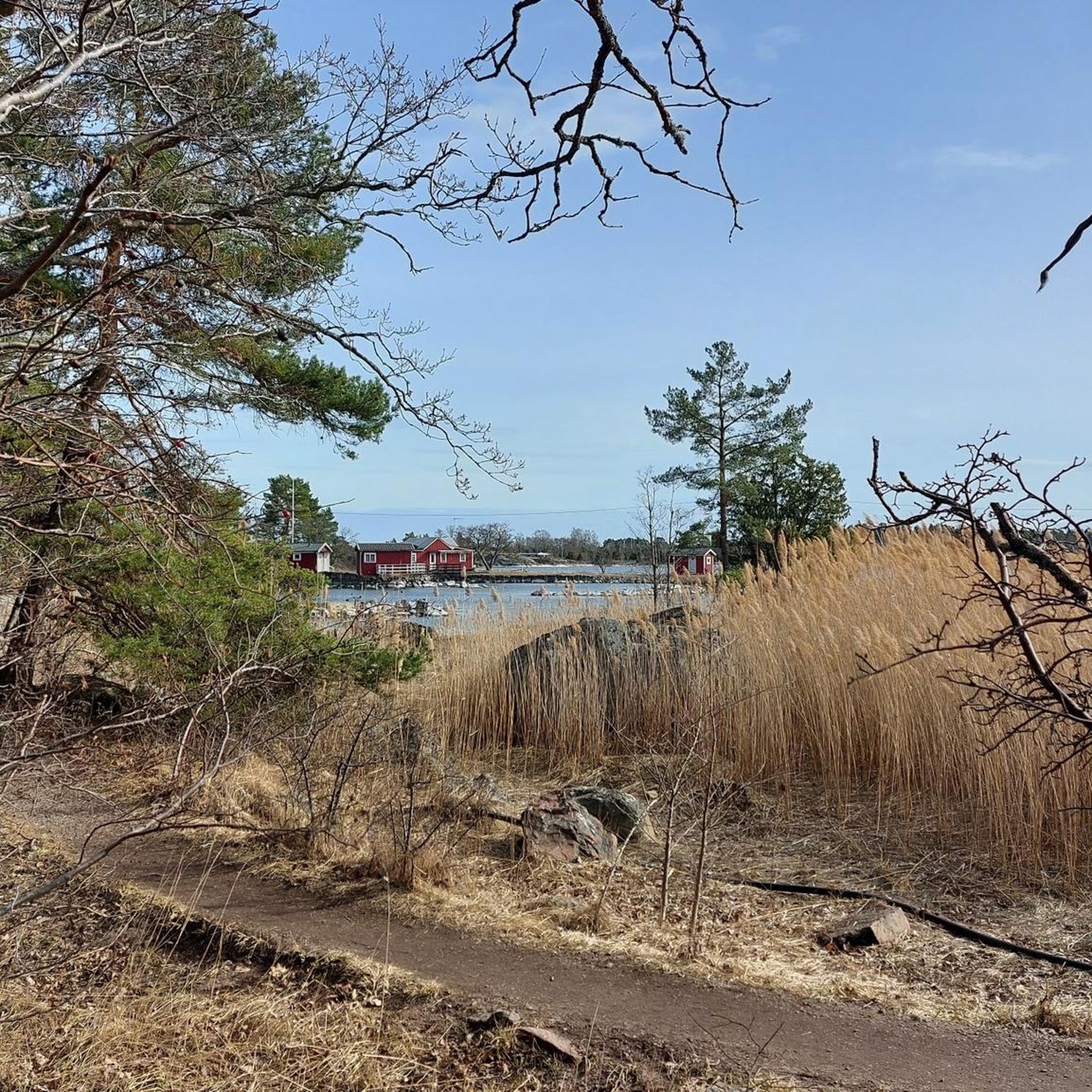
Here, you walk through a wide open section, on rock slabs and can enjoy a charming view on the bay.
0
0
This charming little bridge is your only way onto the Uvö Peninsula. The view from there is magnificent, and you can spot waterbirds if you look toward the reeds.
0
0

The Kristineberg Electric Light Trail is a popular 2.3-kilometre (1.4-mile) loop trail that goes through a pristine forest environment. It is a great facility, as it has an illuminated path that is so important during those long winter months. It also has an outdoor gym and obstacle course.
0
0

Döderhults Church is one of the oldest buildings in Oskarshamn. It stands out for miles in the midst of the flat fields, and is well worth a visit up close. The church has medieval origins but the current building was built in the 1770s.
0
0
Frequently Asked Questions
How many hiking trails are available around Oskarshamn?
Oskarshamn offers a diverse network of over 35 hiking routes, catering to various skill levels. You'll find a good mix of easy strolls and more moderate, longer trails to explore the region's unique landscapes.
What is the best time of year to go hiking in Oskarshamn?
The most pleasant seasons for hiking in Oskarshamn are typically spring, summer, and early autumn. During these months, you can best enjoy the archipelago, deep forests, and cultural landscapes. Autumn also offers beautiful fall foliage, while summer provides longer daylight hours for extended adventures.
Are there any family-friendly hiking trails suitable for children in Oskarshamn?
Yes, several trails are great for families. The Döderhultsdalen Trail is an easy 2.8-mile path winding through meadows and pine forests, perfect for various fitness levels. Another excellent option is an easy hike around Stensjö By Open-Air Museum, an idyllic village with historical charm.
Are there any circular hiking routes in Oskarshamn?
Yes, Oskarshamn features several enjoyable circular routes. For a longer option, consider the Tjust Trail and Stora Ramm Loop, which is 11.6 miles and passes by Stora Ramm Lake. Another popular choice is The church – Blå Jungfrun Summit loop from Blå Jungfrun National Park, a 2.2-mile trail offering stunning views.
What kind of terrain can I expect on the hiking trails around Oskarshamn?
The terrain around Oskarshamn is quite varied. You'll encounter deep forests characteristic of the Småland region, coastal paths along the archipelago, and historic cultural landscapes with pastures. Some trails, like the Tjust Trail and Stora Ramm Loop, feature moderate elevation changes, while others, such as the Döderhultsdalen Trail, are relatively flat and easy.
Are dogs allowed on hiking trails in Oskarshamn?
Generally, dogs are welcome on hiking trails in Oskarshamn, but they must be kept on a leash, especially in nature reserves and during certain times of the year (March 1 to August 20) to protect wildlife. Always check specific rules for each nature reserve or national park you plan to visit.
What interesting landmarks or natural attractions can I see while hiking?
Oskarshamn's trails offer access to diverse attractions. You can explore the unique archipelago, deep forests, and cultural landscapes. Highlights include the meteor-impact crater lake at Humlenäs Nature Reserve, and the historic village of Stensjö By. You might also encounter natural monuments like Byrums Raukar or Kevershälls Stone Gate, and enjoy views of lakes such as Stora Ramm Lake.
Are there any long-distance hiking trails that pass through Oskarshamn?
Yes, the magnificent Ostkustleden (The East Coast Trail) passes through the Oskarshamn region. This long-distance trail is divided into 8 stages, each approximately 12 miles long, making it a favorite for hikers looking for multi-day adventures. It includes amenities like overnight cabins, such as Nynässtugan in the Humlenäs Nature Reserve.
What do other hikers enjoy most about hiking in Oskarshamn?
The hiking routes in Oskarshamn are highly rated by the komoot community, with an average score of 4.5 stars from more than 160 reviews. Reviewers often praise the diverse landscapes, from the stunning archipelago to the peaceful deep forests, and the well-maintained paths that cater to various skill levels.
Is there public transport available to reach hiking trailheads in Oskarshamn?
Public transport options to reach specific trailheads can vary. While Oskarshamn itself is accessible, reaching some of the more remote starting points for trails might require local bus services or a car. It's advisable to check local transport schedules and routes in advance for your chosen trail.
Where can I find parking for hiking trails in Oskarshamn?
Many popular trailheads and nature reserves around Oskarshamn offer designated parking areas. For example, you can find parking near the starting points for trails like the Stensjö By Open-Air Museum loop. It's always a good idea to check specific trail information or local maps for parking details before you head out.
Are there any trails that explore the region's historical or cultural sites?
Absolutely. The region is rich in cultural landscapes. You can hike around Stensjö By Open-Air Museum, an idyllic village that offers a glimpse into historical Swedish life. Another interesting option is the Näset Stonemasons’ Museum loop, which explores the area's industrial heritage.
Most popular routes around Oskarshamn
Most popular attractions around Oskarshamn

Get inspired with the komoot mobile app


Explore more
Browse the best Hikes in other regions.
