The best cycling routes around Santa Marta De Penaguião
4.1
(66)
4,806
riders
31
rides
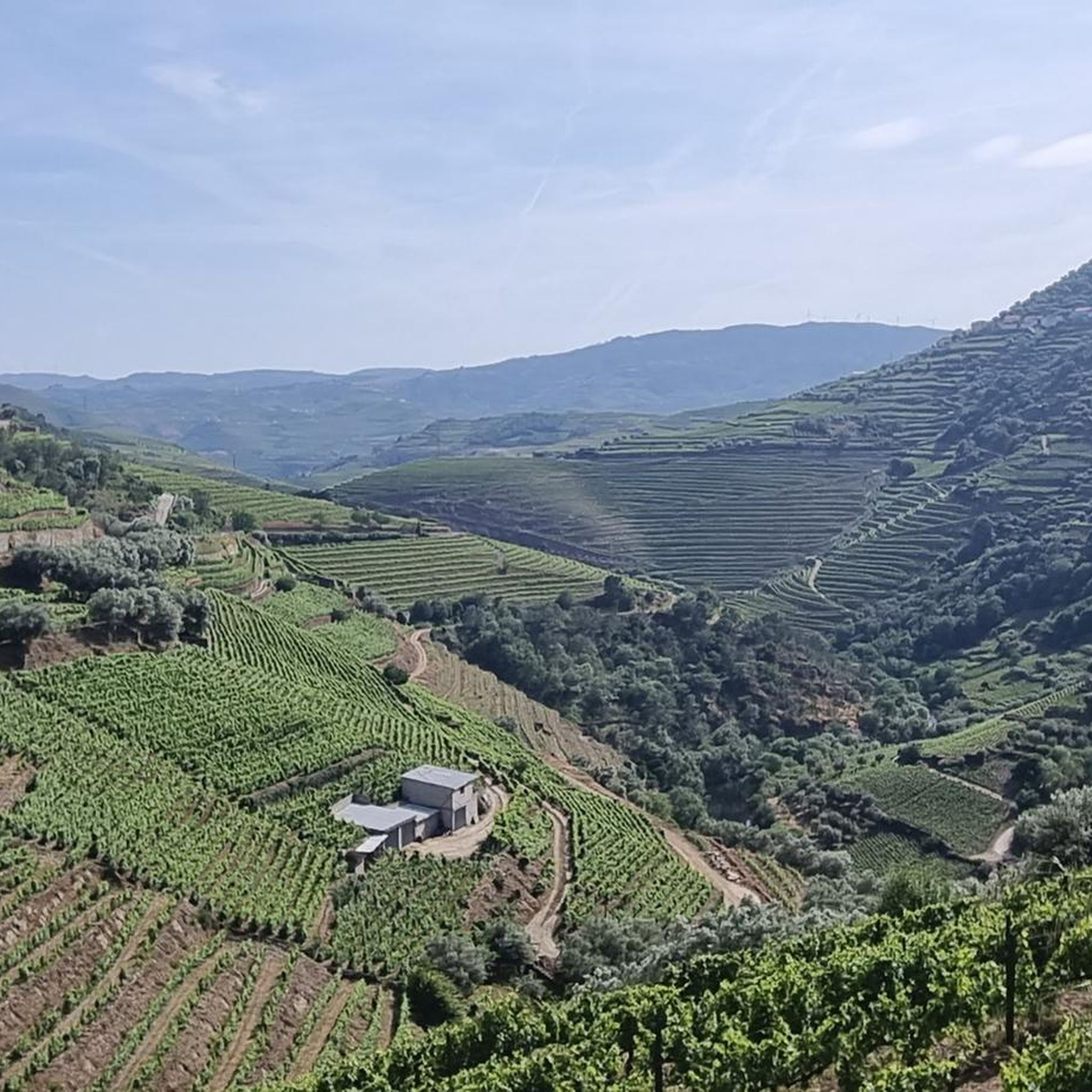
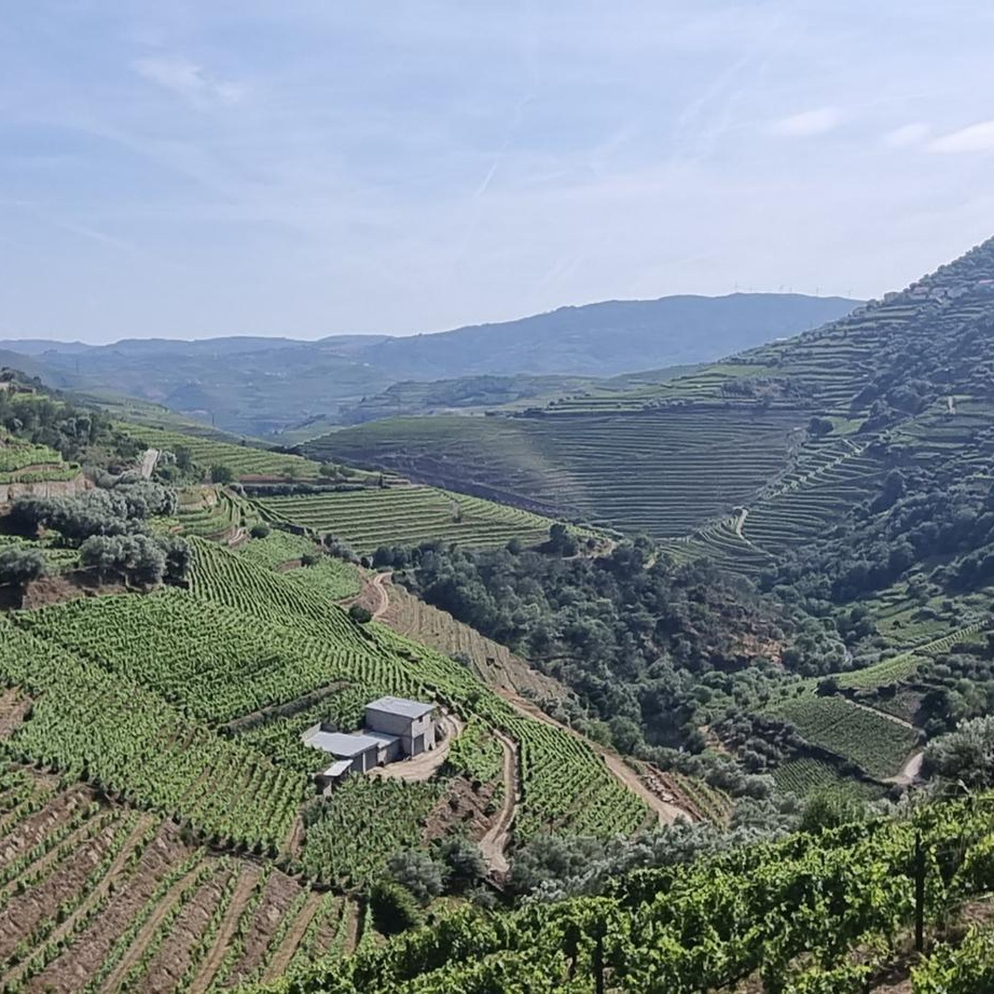
Touring cycling around Santa Marta De Penaguião offers diverse terrain within Northern Portugal's Alto Douro Wine Region. The area features challenging climbs through terraced vineyards, exhilarating descents, and tranquil roads along the Douro River. Cyclists encounter significant elevation gains, with routes often winding through valleys and past the Serra do Marão mountain range. This landscape provides varied experiences, from riverside paths to demanding mountain ascents.
Best touring cycling routes around Santa Marta De Penaguião
- The most popular touring cycling route…
Last updated: October 17, 2026
4.4
(24)
4,171
riders
41.6km
02:36
430m
430m
Moderate bike ride. Good fitness required. Mostly paved surfaces. Suitable for all skill levels.
3.0
(4)
79
riders
11.8km
00:46
130m
130m
Easy bike ride. Great for any fitness level. Mostly paved surfaces. Suitable for all skill levels.

4.5
(4)
37
riders
57.7km
03:59
1,000m
1,000m
Hard bike ride. Very good fitness required. Mostly paved surfaces. Suitable for all skill levels.
32
riders
134km
08:39
1,470m
1,470m
Hard bike ride. Very good fitness required. Mostly paved surfaces. Suitable for all skill levels.
29
riders
106km
07:34
2,170m
2,180m
Hard bike ride. Very good fitness required. Mostly paved surfaces. Suitable for all skill levels.
Get access to more routes and recommendations from other explorers.
Already have an account?
Our route recommendations are based on thousands of hikes, rides, and runs completed by other people on komoot.
Start today with a free account
Your next adventure awaits.

Tips from the Community

The parking area for motorhomes directly on the Douro River
1
0

Visiting the Castle of Chaves is worth it because it is, quite literally, the high point of the city—both in altitude and in history. Although "only" the imposing Keep (Torre de Menagem) and parts of the walls remain from the original grand defensive system, a visit is a must for these 4 reasons: 1. The Best View in the City Climbing to the top of the Keep (about 28 meters high) offers an unmatched reward. The Panorama: From there, you have a 360º view over the old rooftops, the Tâmega River winding below, the Roman Bridge, and the Brunheiro and Larouco mountains in the distance. It is the best place to understand the city's geography. 2. The Military Museum (A Journey Across 4 Floors) The tower is not empty. The interior has been transformed into a very interesting Military Museum (and the ticket is almost symbolic, usually costing around €1). As you climb the stairs, you pass through four themed floors showing the evolution of weaponry, from the Middle Ages to World War I. It is fascinating to see armor, swords, and uniforms in an authentic stone setting, which helps you imagine the lives of the soldiers who defended the border there. 3. The Castle Garden The tower is surrounded by a beautifully kept garden, which functions as an open-air museum. It is a peaceful space, full of flowers, where you can see Roman and medieval archaeological pieces displayed on the lawns. It is the ideal spot for a break in the shade after walking through the city. 4. A History of Resistance This castle is a symbol of Portugal's independence. Given its proximity to Spain (only 10 km away), Chaves was always the "Key to the Kingdom." Visiting the castle means standing on ground where countless battles were fought to keep the border safe against Castilian and French invasions. The climb is done via stairs (there is no elevator), but the view from the top makes up for every step. Try to go near the end of the day, when the setting sun hits the stones of the tower and the city below, creating a spectacular golden color.
3
0

The station is so run-down that it's almost in working order again. Old railway vehicles (burned-out steam locomotives and old wagons) are scattered around the large grounds. There are also many disused tracks, including turntables. At the end of the station, the former storage sheds have been converted into wine shops and restaurants.
2
0
A worthwhile museum, which scores points despite/or because of its very minimalist presentation of the subject matter. At the end, enjoy a port wine on the terrace of the museum's café.
1
0
The bridge is really well-made. The view from the bridge is beautiful, even though there's still a lot that could be done with the buildings at the end.
2
0
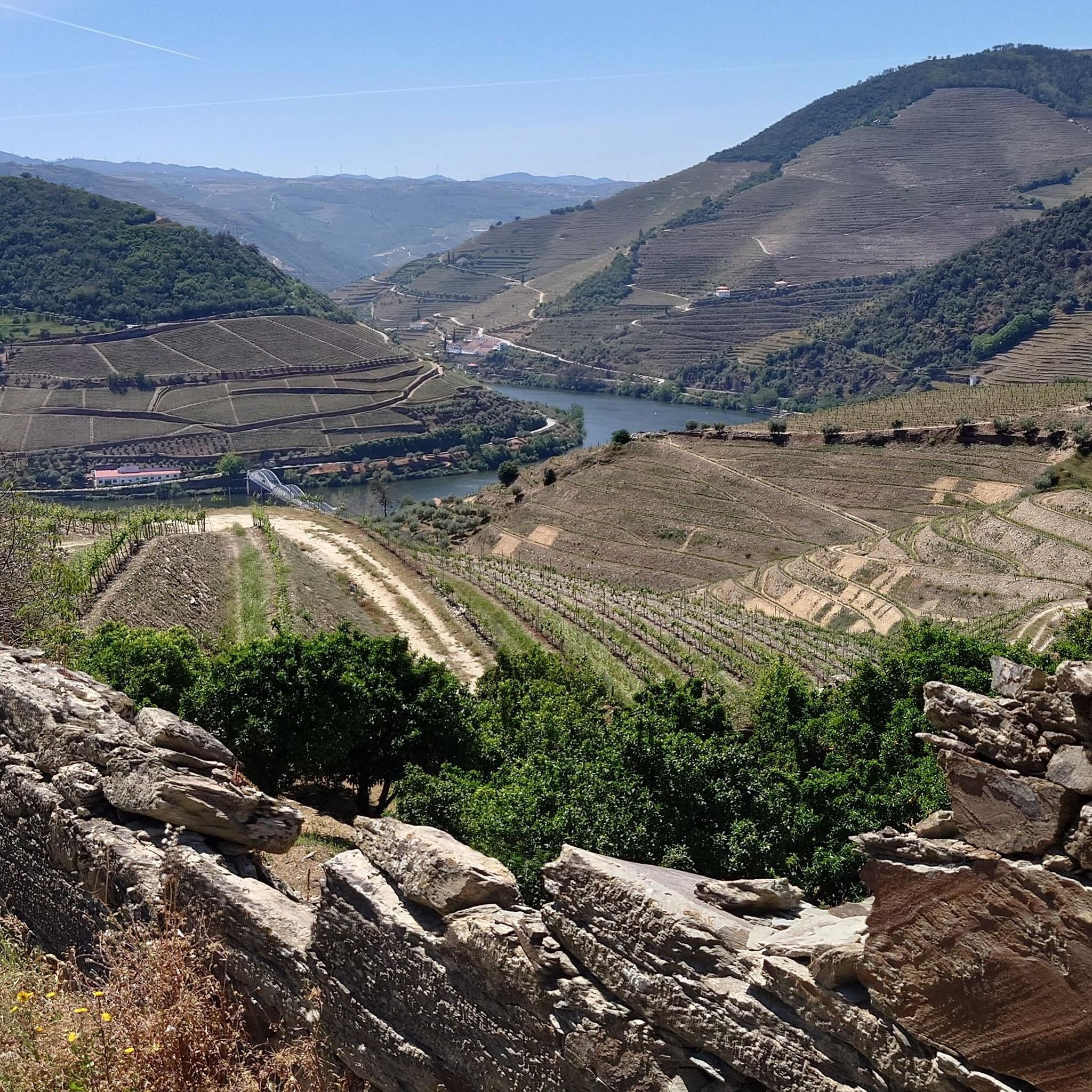
The Duero rises in the Picos de Urbión Mountains in the northern Spanish province of Soria at an altitude of 2,080 meters. It flows through the autonomous community of Castile and León, passing through the cities of Soria, Almazán, Aranda de Duero, Tordesillas, and Zamora. For 112 km, it forms the Spanish-Portuguese border, with the river landscape on both sides located in protected natural parks: Arribes del Duero and Douro Internacional. From here, it flows 213 km into Portugal, passing through the cities of Miranda do Douro, Pinhão, and Peso da Régua, as well as the Alto Douro wine region. The Duero flows into the Atlantic near Porto and Vila Nova de Gaia.
3
0

The slopes of the Douro are truly spectacular. Stunning landscapes. 👍🥾
1
0
Thank you for sharing the spectacular photos.👍
0
0
Frequently Asked Questions
How many touring cycling routes are available around Santa Marta De Penaguião?
There are over 40 touring cycling routes available around Santa Marta De Penaguião, offering a wide range of experiences for cyclists. The region is well-regarded by the komoot community, with over 4000 touring cyclists having explored its varied terrain.
What kind of terrain can I expect when touring cycling in Santa Marta De Penaguião?
The region offers a captivating mix of terrain, from challenging climbs through terraced vineyards and the Serra do Marão mountain range to exhilarating descents and tranquil roads along the Douro River. You can expect significant elevation gains, with some routes climbing 1000m to 2000m over 40km, providing breathtaking panoramic views.
Are there options for less experienced touring cyclists in the region?
Yes, while many routes feature significant climbs, there are easier options available. For instance, the Régua Pedestrian Bridge – Douro Valley loop from Régua is an easy 7.3-mile (11.7 km) path that offers a shorter, flatter experience along the Douro River, perfect for a more relaxed ride.
What are some notable landmarks or natural features I can see along the touring cycling routes?
The routes often pass through stunning landscapes and near significant attractions. You can expect to see the iconic terraced vineyards (socalcos), the majestic Douro River, and the dramatic Serra do Marão mountain range. Specific highlights include the View of the Douro Valley, the Régua Pedestrian Bridge, and the Gregos Waterfall. Many routes also offer panoramic vistas from various viewpoints (miradouros).
Are there any long-distance touring cycling routes in the area?
Yes, for those seeking longer rides, routes like the Corgo Ecotrail – Gravosfera – View of the Old Corgo Line loop from Vila Real cover over 80 miles (130 km) with substantial elevation gain, offering an immersive experience through the region's diverse landscapes.
Can I find circular touring cycling routes around Santa Marta De Penaguião?
Many of the touring cycling routes in the area are designed as loops, allowing you to start and end at the same point. Examples include the Douro Valley – Régua Pedestrian Bridge loop from Régua and the Régua Railway Station – Régua Pedestrian Bridge loop from Régua, which both offer extensive circular journeys through the Douro Valley.
What is the best time of year for touring cycling in Santa Marta De Penaguião?
The region is generally suitable for cycling for much of the year. Spring and autumn offer pleasant temperatures and vibrant scenery, with the terraced vineyards at their most beautiful. Summer can be warm, especially in the valleys, but the 'perfect tarmac' and winding paths are enjoyable. Winter might bring cooler temperatures but can still offer clear, crisp riding days.
Are there any family-friendly touring cycling options?
For families or those preferring a gentler pace, the flatter sections along the Douro River are ideal. The Régua Pedestrian Bridge – Douro Valley loop from Régua is an easy route that provides a scenic and accessible option for families to enjoy together.
What do other touring cyclists enjoy most about cycling in Santa Marta De Penaguião?
The area is highly rated by the komoot community, with an average score of 4.5 stars from over 50 reviews. Reviewers often praise the stunning scenic routes through UNESCO-listed terraced vineyards, the quiet roads, and the challenging yet rewarding terrain that offers breathtaking panoramic views of the Douro River and surrounding mountains.
Are there places to eat or stay that are cyclist-friendly in Santa Marta De Penaguião?
As part of the Alto Douro Wine Region, Santa Marta de Penaguião and its surroundings offer numerous opportunities for local gastronomy and accommodation. Many former wineries or medieval estates have been transformed into boutique hotels, and you'll find local farms and charming villages where you can stop for traditional dishes and the famous Port wine.
Is public transport available to access touring cycling routes in the region?
The region has some public transport options, particularly around larger towns like Régua, which has a railway station. This can be useful for accessing various starting points for routes, such as the Régua Railway Station – Régua Pedestrian Bridge loop from Régua. It's advisable to check local schedules and bike carriage policies in advance.
Where can I find parking for touring cycling routes?
Parking is generally available in and around the towns and villages that serve as common starting points for routes, such as Régua. Many local accommodations also offer parking facilities. For specific routes, checking the route details on komoot or local information can provide guidance on convenient parking spots.
Most popular routes around Santa Marta De Penaguião
Most popular attractions around Santa Marta De Penaguião

Get inspired with the komoot mobile app


Explore more
Browse the best Cycling routes in other regions.
