The best road cycling routes around Aguiar Da Beira
3.4
(8)
369
riders
55
rides
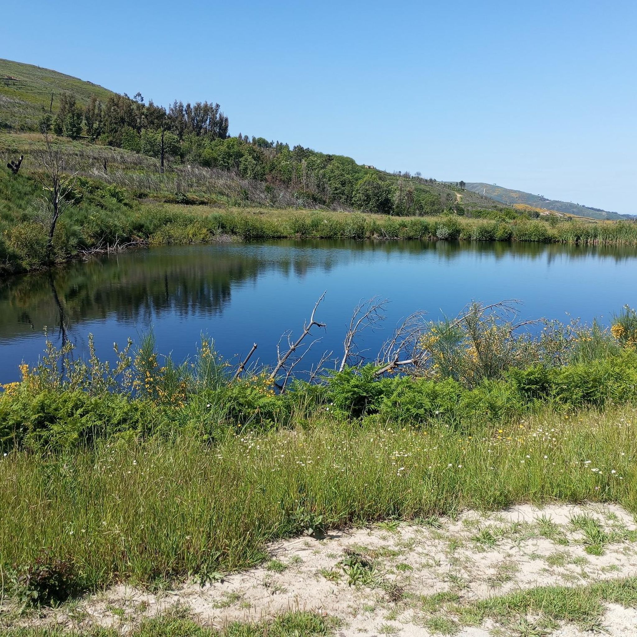
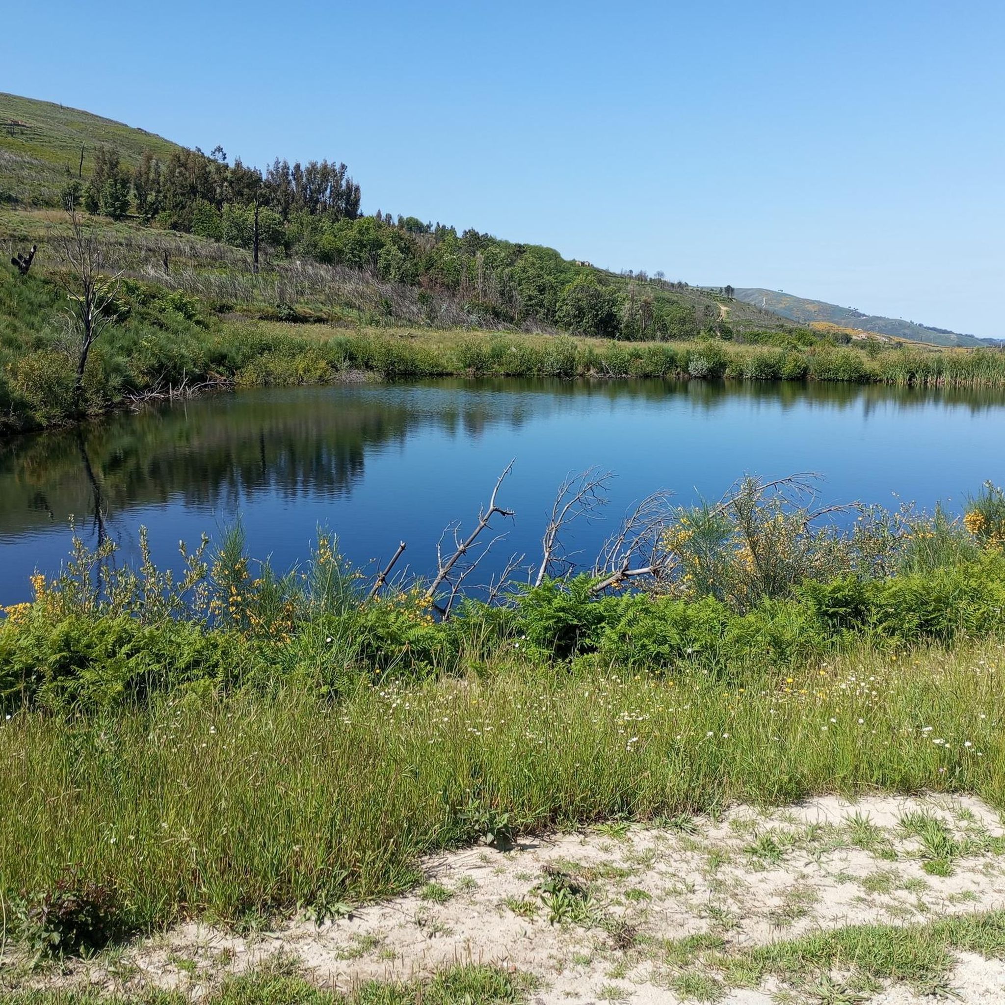
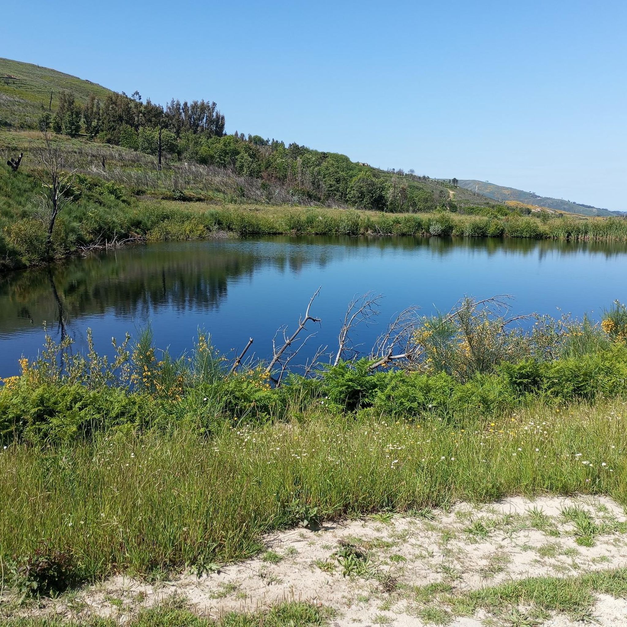
Road cycling around Aguiar Da Beira is characterized by its elevated plateau, situated at over 700 meters, offering diverse landscapes. The region features rolling hills, extensive forests, and river valleys shaped by the Dão, Vouga, and Távora rivers. Cyclists encounter varied terrain, including challenging climbs and descents, with panoramic views towards the Serra da Estrela mountain range. The presence of reservoirs like Barragem de Santa Maria de Aguilar also contributes to the scenic routes.
Best road cycling routes around Aguiar Da Beira
- The most popular road cycling route is Pelourinho de Aguiar da Beira – Medieval Castle Porta Do Sol loop from Aguiar da Beira, a 46.2 miles (74.4 km) trail that takes 3 hours 42 minutes to complete. This difficult route traverses varied terrain across the elevated plateau.
- Another top favourite among local road cyclists is Roadbike loop from Quintela, an easy 9.5 miles (15.4 km) path. This shorter route explores the local rolling hills and forested areas.
- Local road cyclists also love the Vila da Ponte River Beach – Pelourinho de Aguiar da Beira loop from Aguiar da Beira, a 20.9 miles (33.6 km) trail leading through river valleys and past historical sites, often completed in about 1 hour 41 minutes.
- Road cycling around Aguiar Da Beira is defined by its elevated plateau, rolling hills, and river valleys. The network offers options for different ability levels, from easy loops to difficult, longer rides.
- The routes in Aguiar Da Beira are highly rated by the komoot community with an average score of 3.5 stars from over 7 reviews. More than 337 road cyclists have used komoot to explore Aguiar Da Beira's varied terrain.
Last updated: July 11, 2026
10
riders
73.2km
03:31
970m
970m
Hard road ride. Very good fitness required. Mostly well-paved surfaces and easy to ride.
10
riders
15.4km
00:43
200m
200m
Easy road ride. Great for any fitness level. Mostly well-paved surfaces and easy to ride.

Sign up for free
8
riders
Moderate road ride. Good fitness required. Mostly well-paved surfaces and easy to ride.
8
riders
72.4km
03:31
1,010m
1,010m
Hard road ride. Very good fitness required. Mostly well-paved surfaces and easy to ride.
6
riders
Moderate road ride. Good fitness required. Mostly well-paved surfaces and easy to ride.
Get access to more routes and recommendations from other explorers.
Sign up for free
Already have an account?
Our route recommendations are based on thousands of hikes, rides, and runs completed by other people on komoot.
Start today with a free account
Your next adventure awaits.
Login or Signup

Tips from the Community

Cathedral next to the Plaza do Rei Dom Duarte
1
0
Magnificent sculpture telling the story
1
0

Penedono Castle (Portuguese: Castelo de Penedono) is a medieval castle located in the parish of Granja, in the municipality of Penedono, Viseu District, Portugal. This castle, also known as Magriço Castle, dominates the town and combines elements of a defensive fortification and a stately home.
7
0

The Távora walkways create a fascinating route along the banks of the Távora River and the Vilar Reservoir, a body of water that has transformed this landscape into a true natural refuge. In summer, the perfect plan is to get up early, walk the trails before the heat sets in and, at the end, cool off with a dip in one of the river beaches, a simple pleasure that feels so good on hot days.
1
0
The river beach of Vila de Ponte is one of the most beautiful secrets in the North of Portugal. With stunning views over the immense lake, it is the perfect refuge on hot days. At the end of May, the waters invite you to swim in the floating pools — one for adults, one for children. Ideal for families, the area also offers numerous spots for a pleasant picnic by the river.
1
0

Rossio is the central square in Viseu and the starting point for an exciting walk through the city. Several streets branch off from here. It is worth discovering the sixteenth-century houses, which still have Gothic gargoyles and windows.
4
1

Usually open daily from 9 a.m. to 7 p.m. The pilgrimage site has its origins in the time when Al-Mancor killed many nuns on his campaign in 982. Some managed to escape and hid a statue of the Madonna under a huge rock. Only 515 years later did a shepherd girl discover the Madonna and bring her home. However, the mother threw her into the fire and the girl, who had never been able to speak since birth, suddenly found her voice, protested loudly and took the Madonna out of the fire again. Subsequently, Lapa developed into a place of pilgrimage. Lapa and Santiago were once the two most important pilgrimage sites on the Iberian Peninsula.
0
0
Frequently Asked Questions
What types of landscapes can I expect when road cycling around Aguiar da Beira?
Aguiar da Beira is situated on an elevated plateau over 700 meters high, offering diverse and scenic landscapes. You'll encounter rolling hills, extensive lush forests, and river valleys shaped by the Dão, Vouga, and Távora rivers. Cyclists can expect varied terrain, including challenging climbs and descents, with panoramic views towards the Serra da Estrela mountain range. Reservoirs like the Barragem de Santa Maria de Aguilar also contribute to the picturesque routes.
How many road cycling routes are available in Aguiar da Beira?
There are over 50 road cycling routes available around Aguiar da Beira on komoot, catering to various skill levels. This includes 3 easy routes, 25 moderate routes, and 27 difficult routes, ensuring options for every cyclist.
Are there any easy road cycling routes suitable for beginners or families?
Yes, there are easy road cycling options. For instance, the Roadbike loop from Quintela is an easy 9.5 miles (15.4 km) path that explores local rolling hills and forested areas, perfect for a more relaxed ride.
What are the more challenging road cycling routes in the region?
For experienced cyclists seeking a challenge, routes like the Pelourinho de Aguiar da Beira – Medieval Castle Porta Do Sol loop from Aguiar da Beira offer a difficult 46.2 miles (74.4 km) ride with significant elevation changes. Another demanding option is the Santa Cristin Spring loop from Vila Longa, covering over 72 km with substantial climbs.
What historical or natural attractions can I see along the road cycling routes?
The region is rich in attractions. You might cycle past the significant Sanctuary of Nossa Senhora da Lapa or the ancient Megalithic Dolmen. The historic center of Aguiar da Beira itself boasts architectural gems like the Pillory and Clock Tower. Nearby, you can find the Castle Walls of Trancoso and the charming Historic Village of Trancoso.
Are there any circular road cycling routes available?
Yes, many routes are designed as loops. For example, the Vila da Ponte River Beach – Pelourinho de Aguiar da Beira loop from Aguiar da Beira is a moderate 20.9 miles (33.6 km) circular trail that takes you through river valleys and past historical sites.
What do other road cyclists say about the routes in Aguiar da Beira?
The routes in Aguiar da Beira are highly rated by the komoot community, with an average score of 3.5 stars from over 7 reviews. Cyclists often praise the varied terrain, the scenic beauty of the elevated plateau, and the blend of natural and historical sights along the way.
When is the best time of year to go road cycling in Aguiar da Beira?
Aguiar da Beira's elevated plateau means it can offer pleasant conditions. Spring and autumn generally provide the most comfortable temperatures for cycling. Summers can be warm, but the extensive forested areas along many routes offer welcome shade. Always check local weather forecasts before heading out.
Are there any specific viewpoints or scenic spots along the routes?
Given the region's elevated position, many routes offer panoramic views, especially towards the Serra da Estrela mountain range. Cycling along river valleys and around reservoirs like Barragem de Santa Maria de Aguilar also provides serene and picturesque scenery.
Is it possible to find bike rentals or cyclist-friendly accommodation in Aguiar da Beira?
While specific komoot data on bike rentals or dedicated cyclist accommodation isn't provided, Aguiar da Beira is known for its outdoor activity focus. It's advisable to check with local tourism offices or search online for bike rental services and accommodation options that cater to cyclists in the municipality.
What is the longest road cycling route available in Aguiar da Beira?
One of the longest routes is the Pelourinho de Aguiar da Beira – Santa Cristin Spring loop from Vila Longa, a difficult route spanning approximately 121.3 km (75.4 miles) with significant elevation gain, offering an extensive cycling adventure.
Most popular attractions around Aguiar Da Beira

Get inspired with the komoot mobile app


Explore more
Browse the best Road cycling routes in other regions.
