The best running trails around Alcoutim
5.0
(1)
131
runners
16
runs
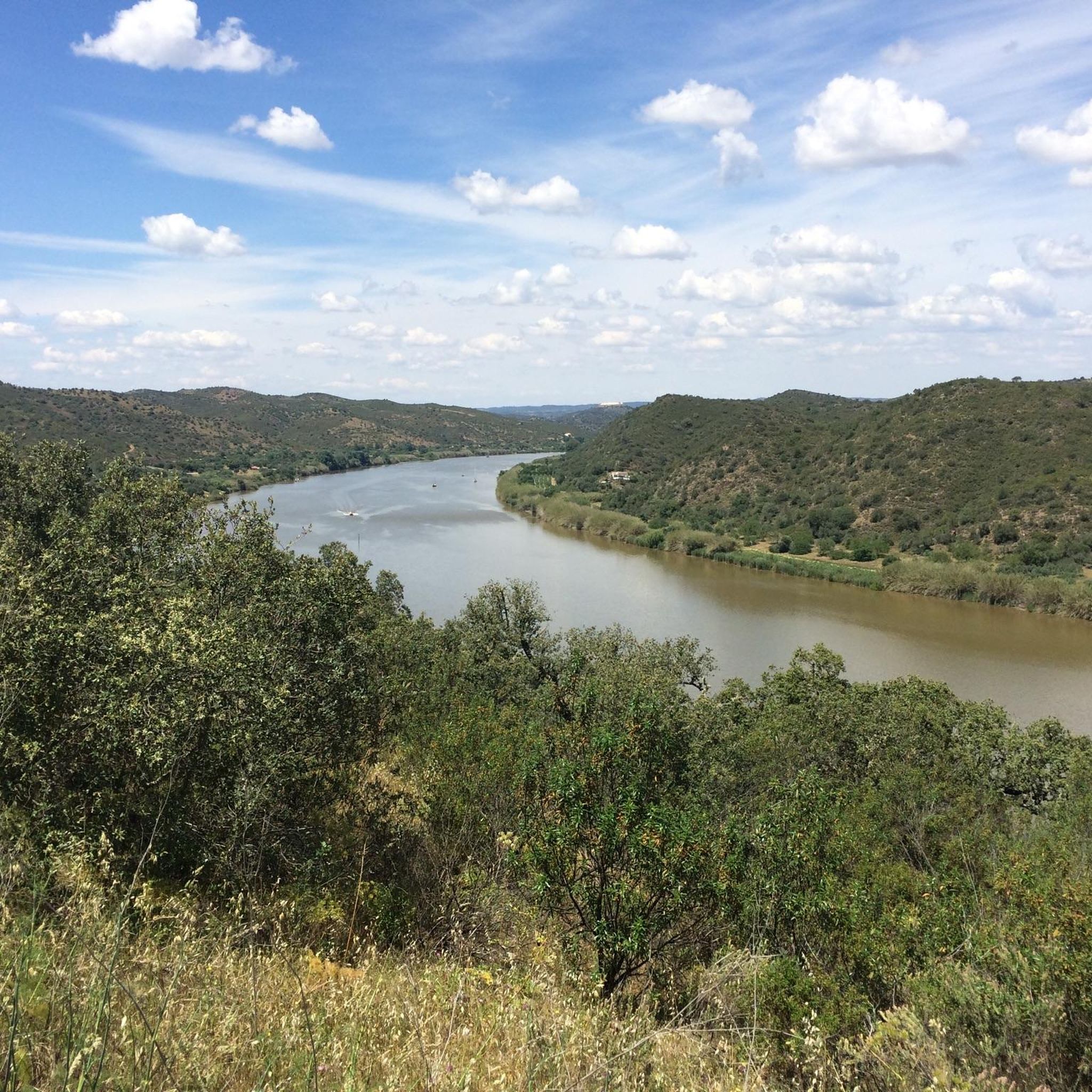
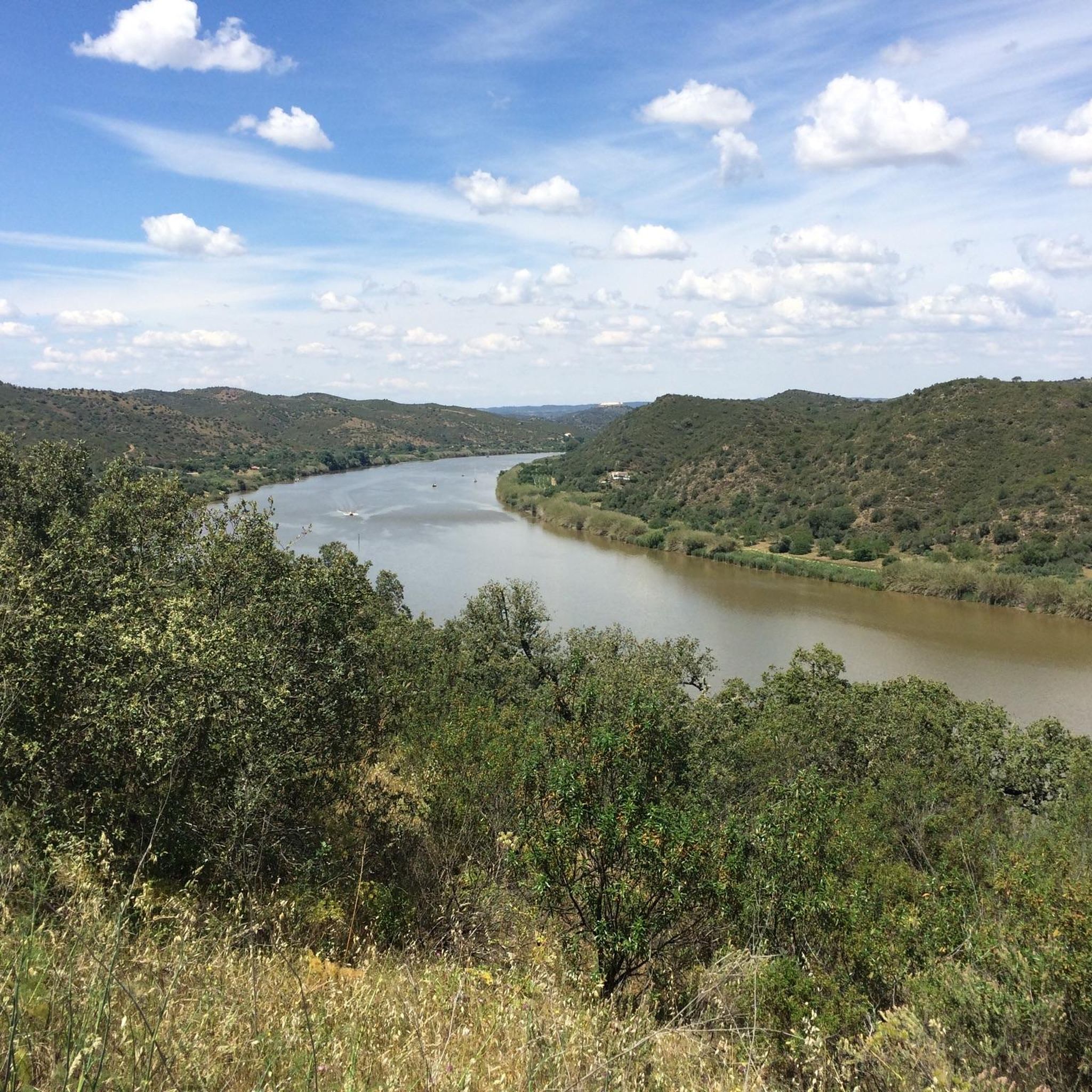
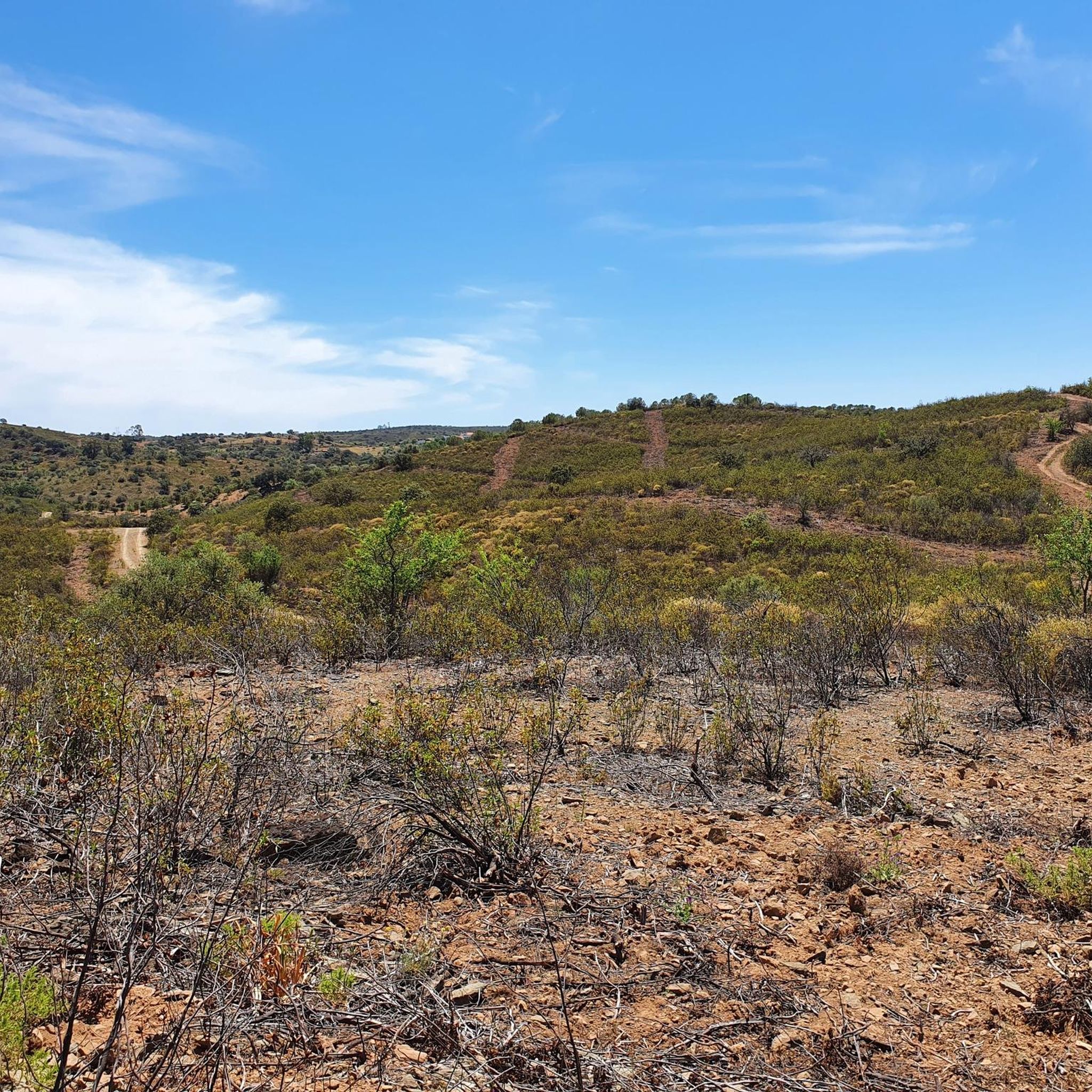
Jogging routes around Alcoutim are set in the southeastern corner of Portugal, characterized by the Guadiana River forming a natural border with Spain. The landscape features rolling hills, olive groves, and citrus orchards, providing varied terrain for runners. The region also includes the Serra do Caldeirão mountain range to the north, offering additional natural scenery. These natural features create a diverse environment for outdoor activities.
Best jogging routes around Alcoutim
- The most popular jogging route is Guadiana Natural Trail,…
Last updated: June 24, 2026
23
runners
10.4km
01:16
190m
190m
Moderate run. Good fitness required. Mostly paved surfaces. Suitable for all skill levels.
1
runners
11.1km
01:22
270m
270m
Moderate run. Good fitness required. Mostly accessible paths. Some sure footedness required.

Sign up for free
2
runners
5.44km
00:38
110m
110m
Moderate run. Good fitness required. Mostly accessible paths. Some sure footedness required.
1
runners
13.0km
01:39
300m
300m
Moderate run. Good fitness required. Mostly paved surfaces. Suitable for all skill levels.
1
runners
13.8km
01:34
360m
360m
Hard run. Very good fitness required. Mostly paved surfaces. Suitable for all skill levels.
Get access to more routes and recommendations from other explorers.
Sign up for free
Already have an account?
Our route recommendations are based on thousands of hikes, rides, and runs completed by other people on komoot.
Start today with a free account
Your next adventure awaits.
Login or Signup
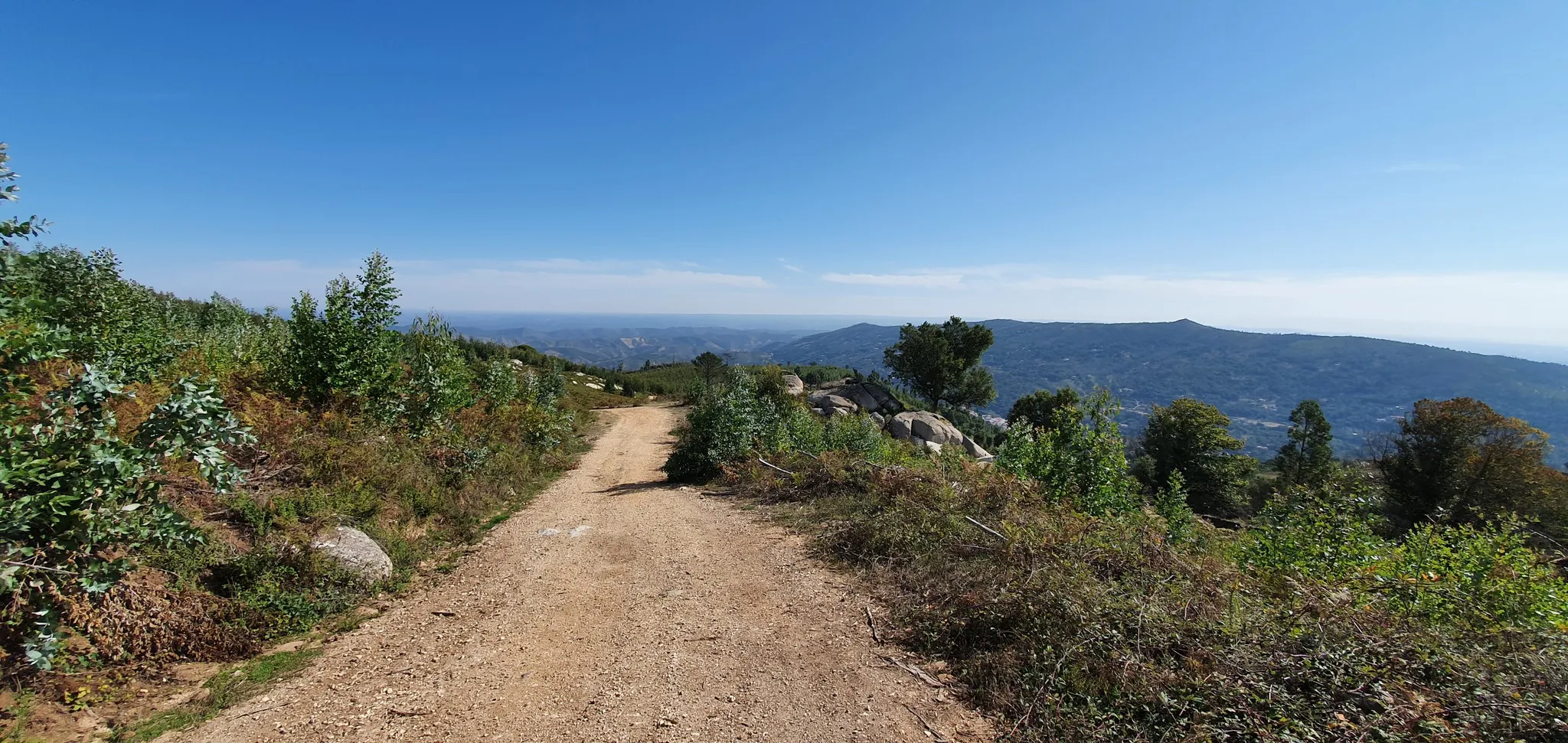
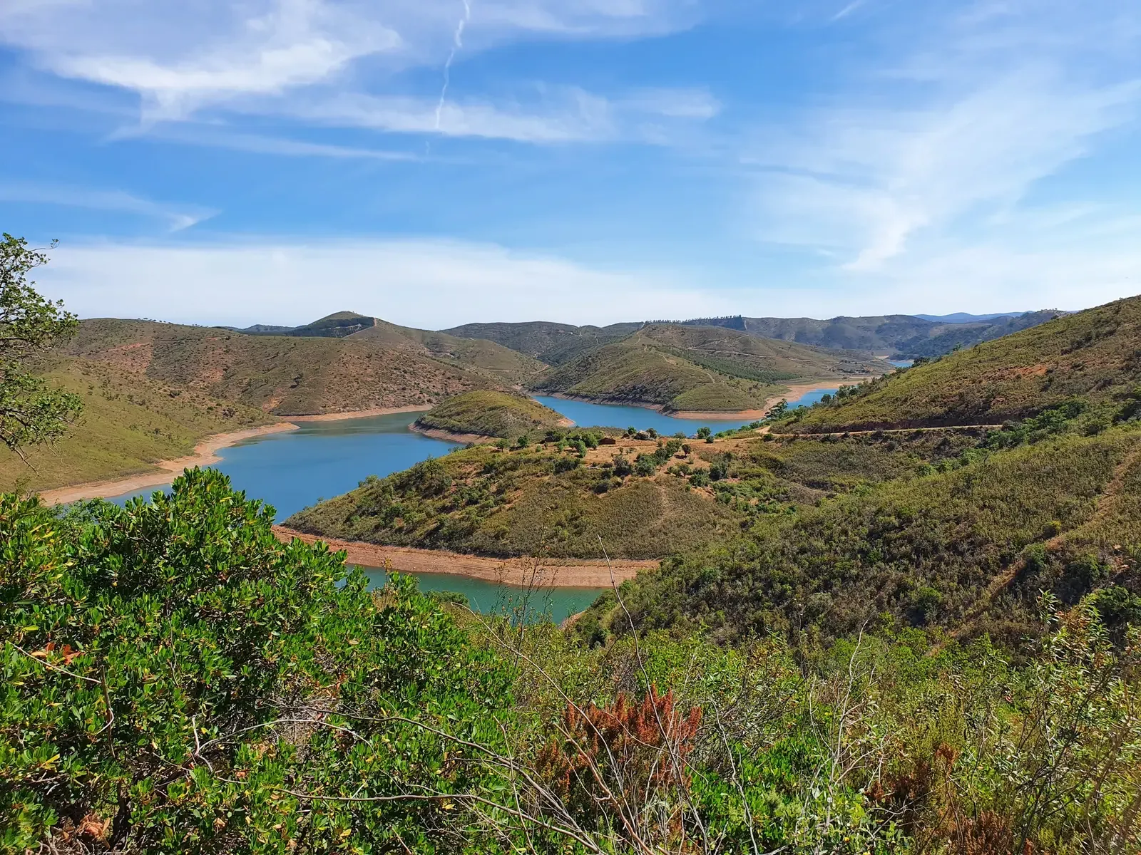
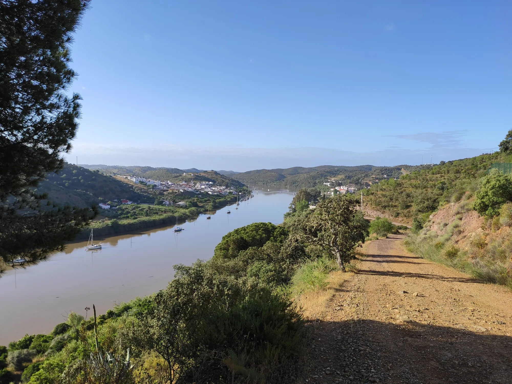
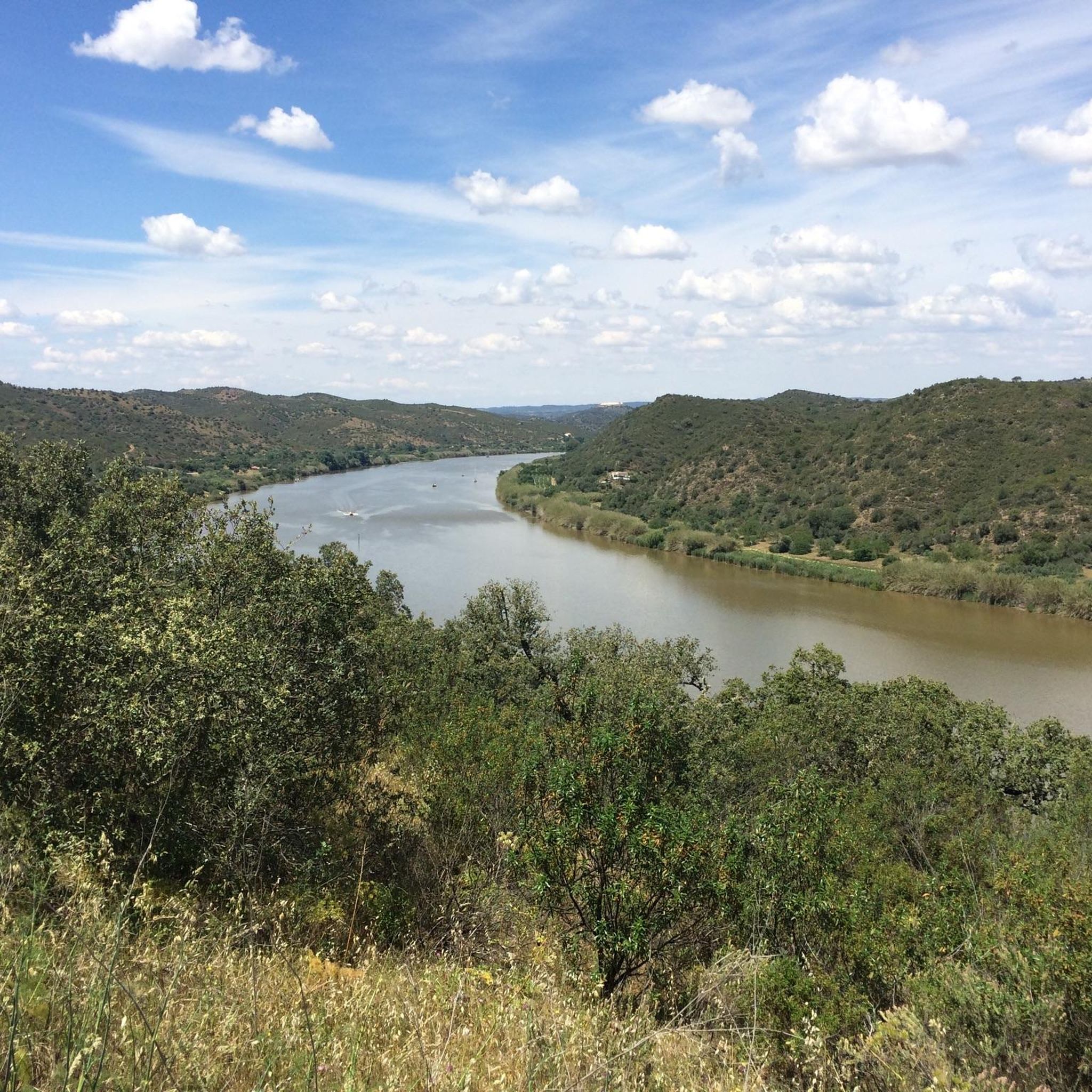


Tips from the Community

Vaqueiros is a small parish in the municipality of Alcoutim. It is a very peaceful place, where several hiking trails in the region begin. Like other villages in the Algarve, the population of Vaqueiros has decreased significantly over the years, further highlighting its bucolic and peaceful atmosphere.
0
0

sturdy shoes, water and dust...
1
0
Fed by the Barranco das Hortas, Albugeira de Vaqueiros is the largest artificial lake in the region. The main objective of building the dam was to supply the demands of local agriculture. There is a small picnic park on its bank.
1
0
Secluded villages, centuries-old plantations and untouched nature. From this point on the road it is possible to admire a classic landscape of the Algarve interior region.
1
0
Anta da Masmorra, also known as Anta do Cerro da Masmorra, is a megalithic monument located in the parish of Cachopo. It was studied in the 1970s, and the structure indicates that it dates from the late Neolithic or Chalcolithic. It is associated with other archaeological sites in the region, such as Dungeon 2 and Dungeon 3.
2
0
Mealha is a small village in Tavira. Its main attraction is the rustic water fountain, located in the central part of the place, which still serves the local population. From here, several trails leave for the region.
2
0
The Cova dos Mouros Mining Park, located in Alcoutim, Portugal, is a theme park and archaeological site. It offers a thematic route that portrays the history of mining and metallurgy from the Chalcolithic period to the beginning of the 20th century. Furthermore, it serves as a reserve for animal species such as ostriches and donkeys, and is located on the former premises of the Cova dos Mouros Mine.
1
0
Vaqueiros is a small parish in the municipality of Alcoutim. It is a very peaceful place, where several hiking trails in the region begin. Like other villages in the Algarve, the population of Vaqueiros has reduced significantly over the years, further evidencing a bucolic and peaceful atmosphere.
3
0
Frequently Asked Questions
How many running routes are available in Alcoutim?
Alcoutim offers a diverse selection of over 15 running routes, catering to various preferences and fitness levels. These trails explore the region's unique landscapes, from riverside paths to hilly terrain.
What kind of terrain can I expect on jogging routes around Alcoutim?
Jogging routes in Alcoutim feature varied terrain. You'll find serene paths along the Guadiana River, as well as trails winding through rolling hills, extensive olive groves, and citrus orchards. Some routes also venture into the northern parts of the Serra do Caldeirão mountain range, offering more challenging ascents and descents.
Are there any easy or beginner-friendly running routes in Alcoutim?
While many routes are moderate, some sections along the Guadiana River offer flatter, more accessible terrain suitable for beginners. For a moderate but manageable option, consider the Antas da Masmorra — circular route (PR8 TVR), which is about 3.4 miles (5.4 km) and leads through verdant countryside.
Can I find circular running routes in the Alcoutim area?
Yes, Alcoutim offers several circular running routes. A popular choice is the Antas da Masmorra — circular route (PR8 TVR), which provides a scenic loop through the countryside.
What are some scenic points of interest or landmarks I can see while running in Alcoutim?
Many routes offer stunning views of the Guadiana River, which forms the border with Spain. You can also encounter historical sites such as the imposing 14th-century Castelo de Alcoutim, offering spectacular panoramic views. The countryside is dotted with olive groves and citrus orchards, and in spring, wildflowers add vibrant color. Some trails may also pass by the Odeleite Reservoir or other natural pools.
Are the running trails in Alcoutim suitable for families with children?
Alcoutim's varied landscape includes paths that are suitable for families. Flatter sections along the riverside or shorter, less challenging loops through the countryside can be enjoyable for families. It's always recommended to check the specific route's difficulty and length to ensure it aligns with your family's capabilities.
Are dogs allowed on the jogging trails around Alcoutim?
Generally, dogs are welcome on many of the natural trails and paths around Alcoutim, especially in the more rural areas. However, it's always advisable to keep them on a leash and be mindful of local regulations, particularly near agricultural land or protected natural areas. Ensure you carry water for your dog, especially during warmer months.
What is the best time of year to go running in Alcoutim?
The best time for running in Alcoutim is typically during spring (March to May) and autumn (September to November). In spring, the countryside is verdant with wildflowers, and temperatures are pleasant. Autumn offers mild weather and beautiful scenery. Summers can be very hot, so early morning or late evening runs are recommended if visiting during this season.
Are there options for parking or public transport near the running routes?
In Alcoutim town, you can usually find parking facilities. For routes starting outside the main town, parking might be available at trailheads or nearby villages. Public transport options are more limited in this rural region, so having a car is often the most convenient way to access various starting points for the running routes.
What do other runners say about their experience jogging in Alcoutim?
The running routes in Alcoutim are highly rated by the komoot community, with an average score of 5.0 stars. Runners often praise the tranquil riverside views, the diverse natural landscapes including olive groves and rolling hills, and the peaceful, authentic setting away from bustling coastal areas.
Are there any longer or more challenging running trails for experienced runners?
Yes, Alcoutim offers more challenging options for experienced runners. Trails that venture into the rolling hills and the northern parts of the Serra do Caldeirão provide greater elevation changes and longer distances. For example, the In Search of the Enchanted Valley Trail is a difficult route spanning over 8.5 miles (13.7 km) with significant elevation gain.
Can I find routes that offer riverside views?
Absolutely. The Guadiana River is a central feature of Alcoutim's landscape, and many jogging routes follow its course. The Guadiana Natural Trail is a prime example, offering serene riverside views and a tranquil environment for your run.
Are there any routes that pass through olive groves or orchards?
Yes, the region is characterized by its agricultural landscapes. The Almond Tree Path (PR8) is a notable route that winds through the region's characteristic olive groves and citrus orchards, providing a beautiful and fragrant running experience.
Most popular attractions around Alcoutim

Get inspired with the komoot mobile app


Explore more
Browse the best Running Trails & Routes in other regions.
