The best walks and hikes around Salvaterra De Magos
3.7
(3)
39
hikers
3
hikes
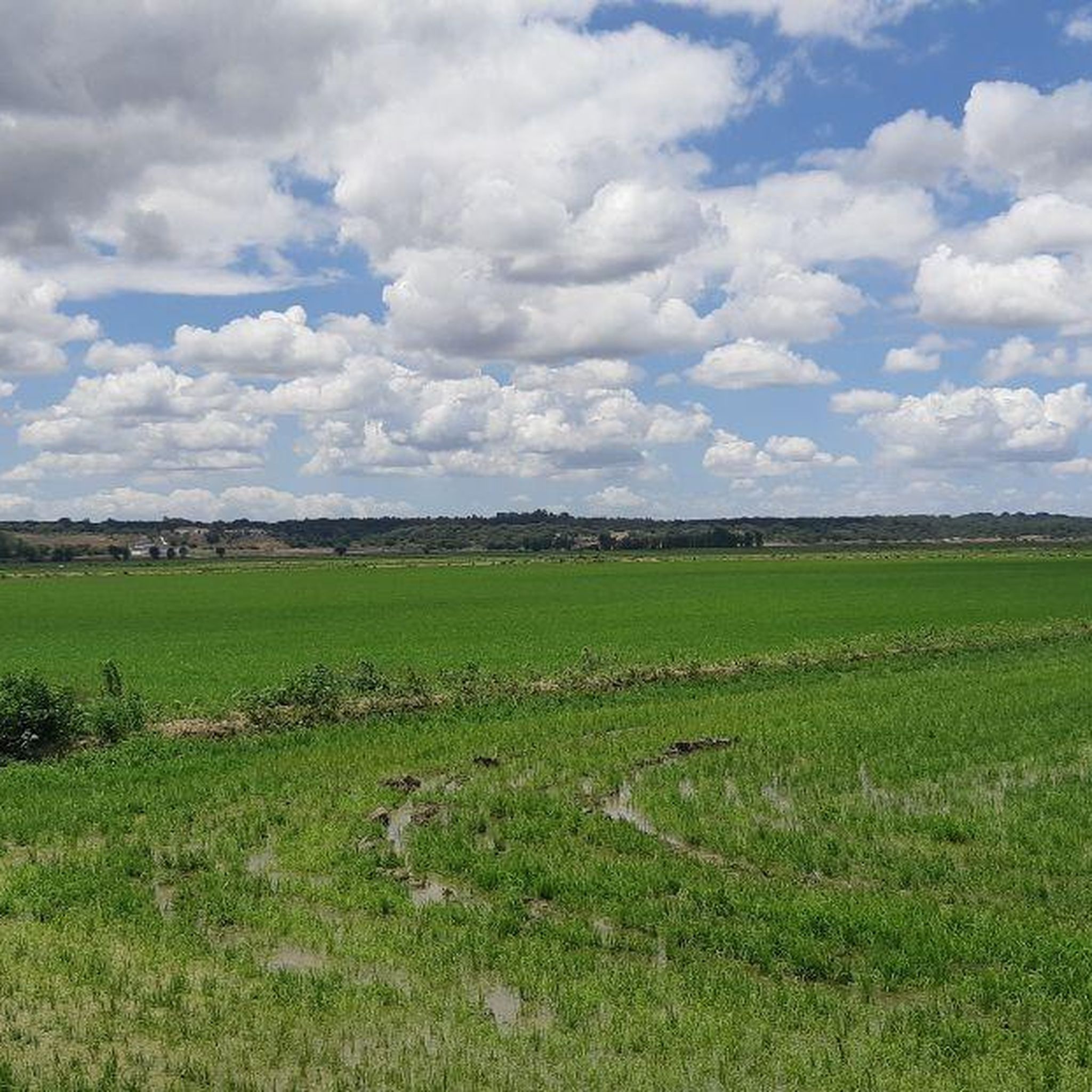
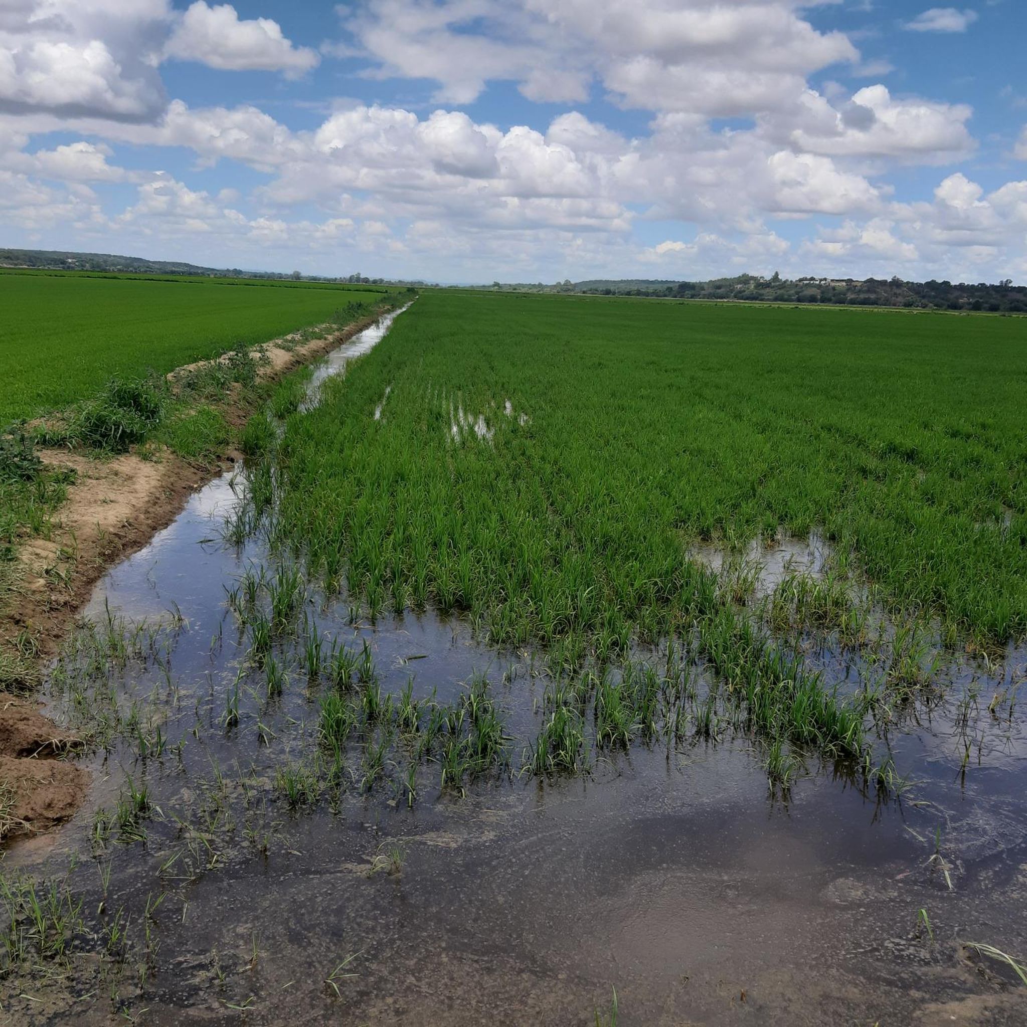
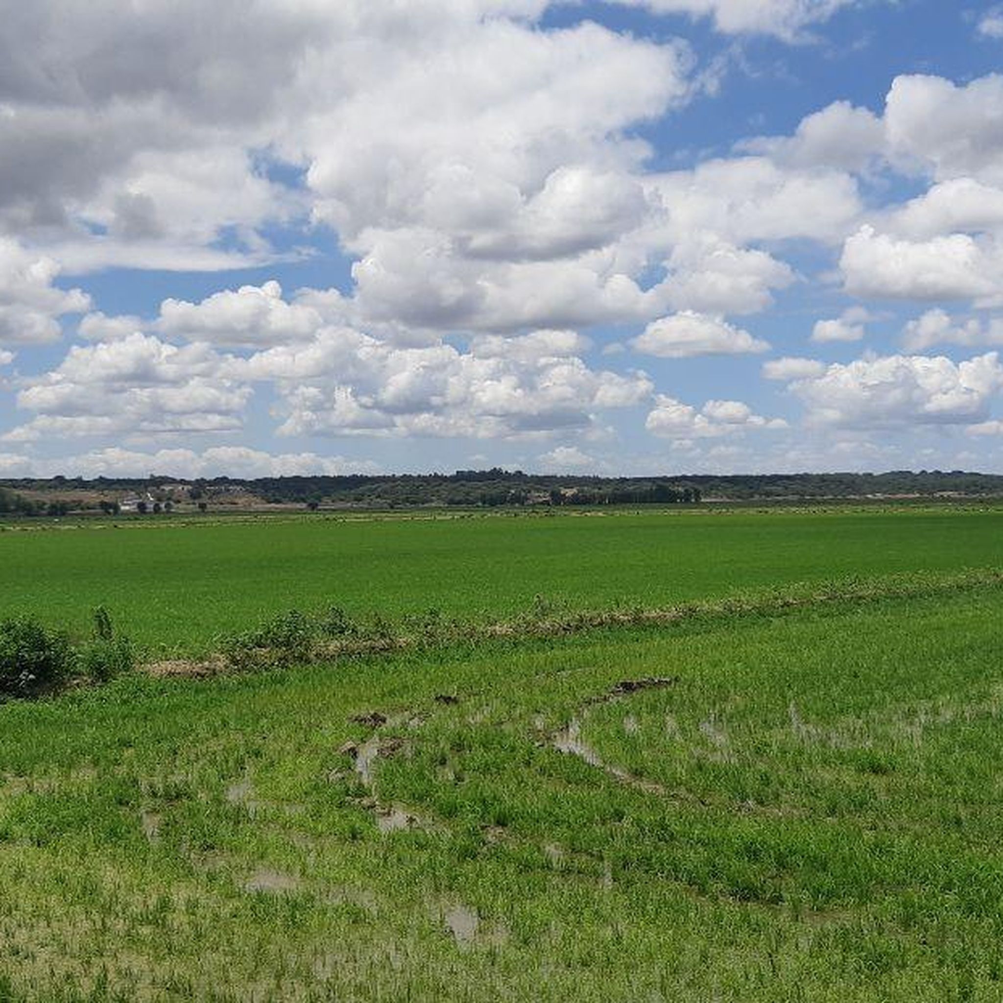
Hiking around Salvaterra De Magos features a landscape characterized by flat river plains and agricultural areas, with routes often following waterways like the Vala River. The terrain generally presents minimal elevation changes, making it suitable for various activity levels. Trails frequently pass through open countryside and small settlements, offering views of the local environment.
Best hiking trails around Salvaterra De Magos
- The most popular hiking route is Vala River – Horses on Private Property loop from Salvaterra de Magos,…
Last updated: July 8, 2026
3.0
(1)
6
hikers
Easy hike. Great for any fitness level. Easily-accessible paths. Suitable for all skill levels.
11
hikers
10.4km
02:43
70m
70m
Moderate hike. Good fitness required. Easily-accessible paths. Suitable for all skill levels.

Sign up for free
3.0
(1)
10
hikers
23.1km
05:52
50m
50m
Hard hike. Very good fitness required. Easily-accessible paths. Suitable for all skill levels.
5.0
(1)
5
hikers
5.19km
01:23
50m
50m
Easy hike. Great for any fitness level. Easily-accessible paths. Suitable for all skill levels.
3.5
(2)
7
hikers
9.87km
02:30
20m
20m
Moderate hike. Good fitness required. Easily-accessible paths. Suitable for all skill levels.
Our route recommendations are based on thousands of hikes, rides, and runs completed by other people on komoot.
Start today with a free account
Your next adventure awaits.
Login or Signup


Tips from the Community

Located on the Setil-Vendas Novas branch line, this railway station was once very important for exporting the cork produced in this region.
2
0

Coruche Road Bridge (General Teófilo da Trindade Bridge) It is the main road infrastructure that connects the town, located on the right bank of the Sorraia River, to the opposite bank. This structure is easily recognizable by its sequence of metal truss bridges and is historically known for the chromatic variations of its elements, ranging between yellow and dark red.
1
0

The Sanctuary of Our Lady of the Castle is located in the town of Coruche, Portugal. The church was built on the ruins of an ancient castle destroyed by the Moors. From there, visitors enjoy a panoramic view of Coruche and the Sorraia River. The entrance and parking are wheelchair accessible.
5
0
The Coruche Road Bridge, or General Teófilo da Trindade Bridge, over the Sorraia River, connects the town of Coruche, in Portugal, on the right bank, to the opposite bank. The bridge was inaugurated on August 16, 1930, and was presided over by then president Óscar Carmona (1926–1951). Its construction was due to the efforts and influence of Coruche resident and prominent military man Luis Alberto de Oliveira. It is the largest of all the bridges that cross the Sorraia
7
0
The Coruche Bullring was inaugurated on 14 August 1966, during the festivities in honour of Our Lady of the Castle in 1966, the year in which the 800th anniversary of the Christian conquest of Coruche was celebrated. After the blessing of the new chapel, built inside the square, and the unveiling of a commemorative plaque by the President of the Republic, Admiral Américo Tomás, the inaugural bullfight took place, under the direction of Mr. Júlio Procópio, in which bulls were fought by D. Maria Manuela Andrade Salgueiro and Dr. Fernando Salgueiro, for the riders Manuel Conde and Joaquim José Correia and the swordsmen Óscar Rosmano, José Falcão, Jorge Marques, César Marinho and António Sacramento. The pegas were carried out by the Forcados Amadores de Montemor. Initially owned by the Construction Commission, on 16 August 1971 the bullring was donated to three charitable institutions in the town of Coruche: the Brotherhood of Our Lady of the Castle, the Santa Casa da Misericórdia de Coruche and the Lar de São José. The bullfighting tradition in Coruche is ancient and one of the most active, with several bullfighting ranches in the municipality (David Ribeiro Telles, Vale Sorraia, Herdeiros Dr. António Silva and Lopes Branco, Herdeiros) and representatives of all professions linked to the art of bullfighting, from bullfighting riders and banderilleros, as well as the Grupo de Forcados Amadores de Coruche.
4
0

On the hill overlooking the town, where a castle once stood and was the scene of frequent skirmishes between Muslims and Christians during the Reconquista, stands the Chapel of Our Lady of the Castle. According to oral tradition, it was founded by D. Afonso Henriques, and a portrait of this king is preserved there. It has undergone several restorations over the years and today stands gracefully and attractively, with its small temple and tower trimmed in the region's signature blue. From the viewpoint, there is a stunning panorama over the floodplain, a plain stretching as far as the eye can see, where the fields of the Sorraia unfold in shades of green and gold as far as the horizon. (Source: www.visitcoruche.com)
17
0

It is the seat of the municipality of Benavente[3] with an area of 521.38 km²[4] and 29,709 inhabitants (2021),[5][6] subdivided into 4 parishes.[3] The municipality is bordered to the north by the municipality of Azambuja, to the northeast by Salvaterra de Magos, to the east by Coruche, to the southeast by the secondary area (exclave) of Montijo, to the south by Palmela and Alcochete, to the southwest by the Tagus Estuary (marshy land officially assigned to the municipality of Alcochete) and to the northwest by Vila Franca de Xira.
2
0
Frequently Asked Questions
How many hiking trails are available around Salvaterra De Magos?
There are 5 hiking trails documented on komoot for the Salvaterra De Magos area, offering a variety of experiences across its flat river plains and agricultural landscapes.
Are there any easy hiking trails suitable for beginners or families?
Yes, Salvaterra De Magos offers several easy trails. A great option is the Vala River – Horses on Private Property loop from Salvaterra de Magos, which is 4.8 miles (7.7 km) long and follows the Vala River through rural scenery. Another easy choice is the Praia Fluvial de Coruche loop from Coruche, a 5.1 km route.
What are the options for longer distance hikes in the region?
For those seeking a longer challenge, the Obelisk of Benavente loop from Benavente is a difficult 14.4 miles (23.1 km) trail. It leads through the flat plains of Benavente and typically takes around 5 hours 51 minutes to complete.
Are there any circular walks available?
Many trails in the area are circular, allowing you to start and end at the same point. Examples include the Vala River – Horses on Private Property loop from Salvaterra de Magos and the Bridge – Bullring loop from Coruche.
What kind of landmarks or attractions can I see along the trails?
The region features several interesting points. You might encounter historical structures like the Ponte Rainha D. Amélia or the Roman Bridge of Muge. The Valada Village also offers a glimpse into local life, and you can see the Beira Tejo Boat in Valada.
What is the best time of year to go hiking in Salvaterra De Magos?
Given the flat terrain and open agricultural areas, spring and autumn are generally ideal for hiking in Salvaterra De Magos. The weather is milder, and the natural scenery is vibrant without the intense heat of summer.
What do other hikers enjoy most about the trails in Salvaterra De Magos?
The area is highly rated by the komoot community, with an average score of 3.7 stars. Reviewers often praise the tranquil riverine paths, the open agricultural landscapes, and the generally flat terrain which makes for accessible walks.
Are there any moderate difficulty trails for a bit more challenge?
Yes, for a moderate challenge, consider the Bridge – Bullring loop from Coruche. This 6.5 miles (10.4 km) path explores the area around Coruche, passing by local landmarks and open fields. Another moderate option is the Coruche – Mural of the Two Owls loop from Coruche, which is 9.6 km long.
Is public transport available to access hiking trailheads?
While specific public transport links directly to every trailhead can vary, the main towns like Salvaterra de Magos and Coruche are generally served by regional bus routes. It's advisable to check local transport schedules for connections to specific starting points.
What should I wear for hiking in this region?
Given the flat terrain and often open areas, comfortable walking shoes are essential. During warmer months, light, breathable clothing, a hat, and sun protection are recommended. In cooler seasons, layers are best, as temperatures can vary.
Are there opportunities to see wildlife along the trails?
The river plains and agricultural areas of Salvaterra De Magos provide habitats for various bird species and small mammals. Hiking along the Vala River or through more secluded rural paths can offer opportunities for wildlife spotting, particularly during quieter times of the day.
Most popular routes around Salvaterra De Magos
Most popular attractions around Salvaterra De Magos

Get inspired with the komoot mobile app


Explore more
Browse the best Hikes in other regions.
