The best MTB trails around Oleiros
4.0
(2)
33
riders
10
rides
Mountain bike trails around Oleiros, located in Portugal's Beira Baixa region, traverse a landscape characterized by pine forests, mountains, and river valleys. The area features abundant schist rock formations and rugged terrain, particularly near the Serra da Lousã. This diverse environment provides varied conditions for mountain biking.
Best mountain bike trails in Oleiros
- The most popular mountain bike trail is Ring route around the Santa Luzia dam, a 17.3 miles (27.9 km) trail that takes 2 hours 31 minutes…
Last updated: June 27, 2026
9
riders
27.9km
02:31
460m
460m
Moderate mountain bike ride. Good fitness required. Suitable for all skill levels.
1
riders
40.2km
04:03
1,050m
1,050m
Hard mountain bike ride. Very good fitness required. Advanced riding skills necessary.

Sign up for free
1
riders
56.4km
05:42
1,700m
1,700m
Hard mountain bike ride. Very good fitness required. Advanced riding skills necessary.
7
riders
56.8km
05:42
1,580m
1,580m
Hard mountain bike ride. Very good fitness required. Suitable for all skill levels.
4.0
(1)
7
riders
37.9km
03:34
790m
790m
Moderate mountain bike ride. Good fitness required. Suitable for all skill levels.
Get access to more routes and recommendations from other explorers.
Sign up for free
Already have an account?
Our route recommendations are based on thousands of hikes, rides, and runs completed by other people on komoot.
Start today with a free account
Your next adventure awaits.
Login or Signup
Tips from the Community

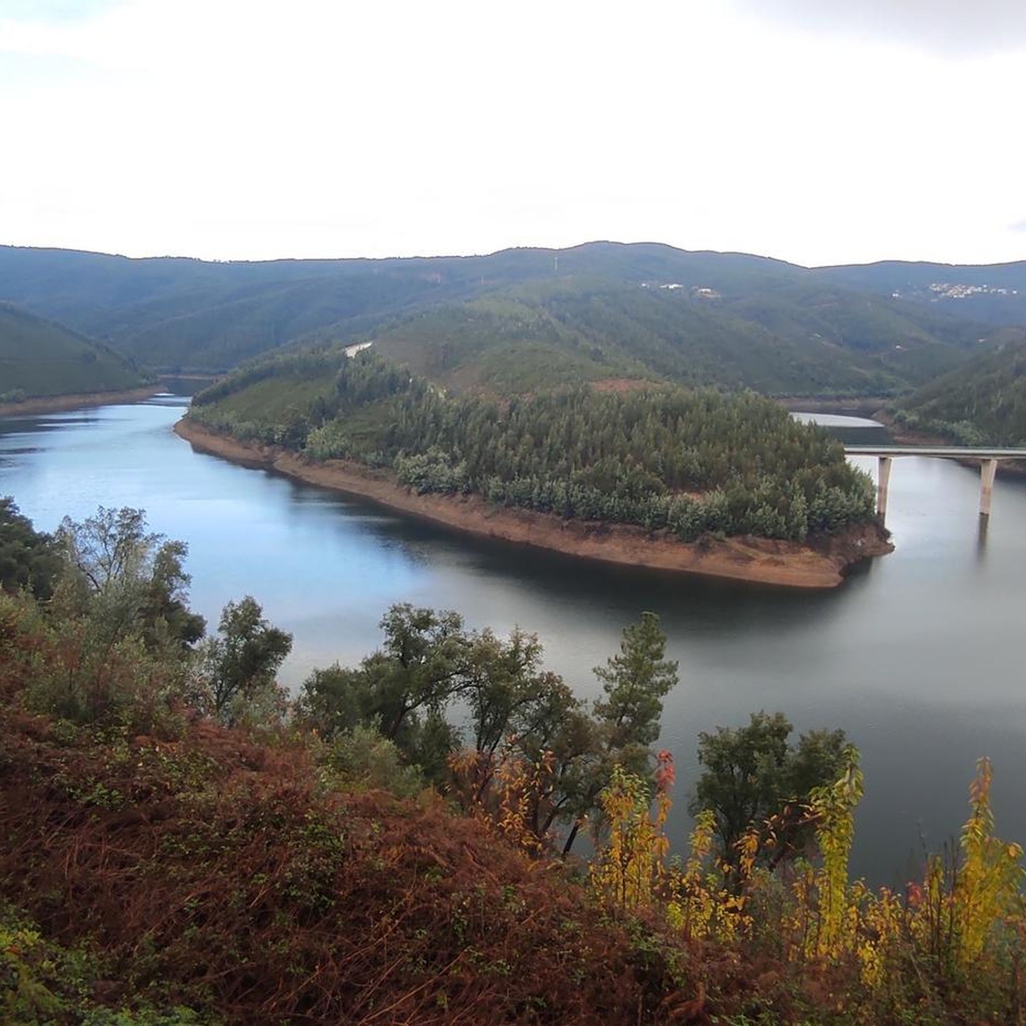
This road offers you a suggestive panorama that embraces the artificial lake of the dam and the surrounding imposing and wild mountains.
0
0
The Barragem de Santa Luzia is an arch dam built on the bed of the Unhais River between 1930 and 1942. The dam's name comes from the Hermitage of Santa Luzia, a chapel located nearby.
0
0
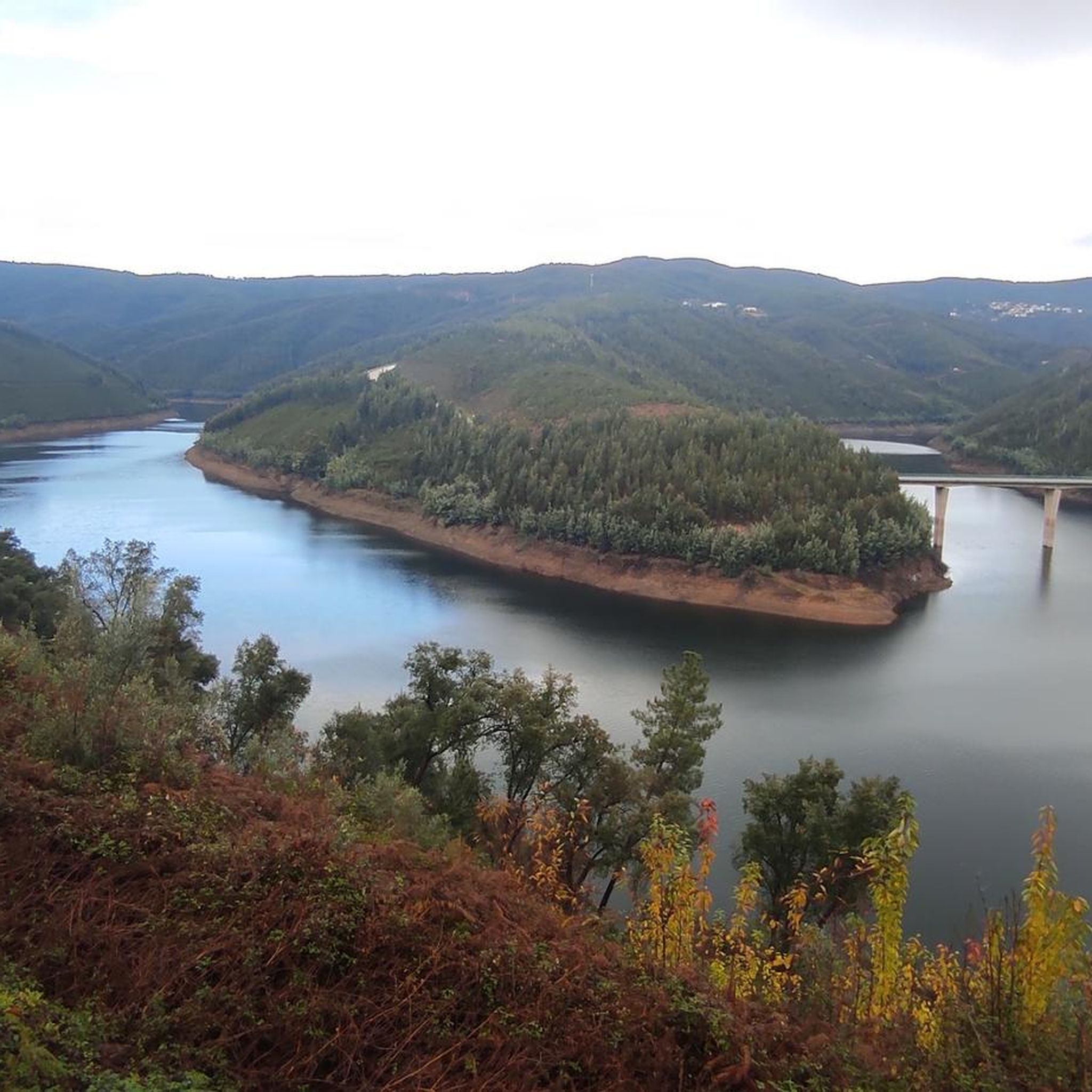
This road offers you a suggestive panorama that embraces the artificial lake of the dam and the surrounding imposing and wild mountains.
0
0
The Barragem de Santa Luzia is an arch dam built on the bed of the Unhais River between 1930 and 1942. The dam's name comes from the Hermitage of Santa Luzia, a chapel located nearby.
0
0
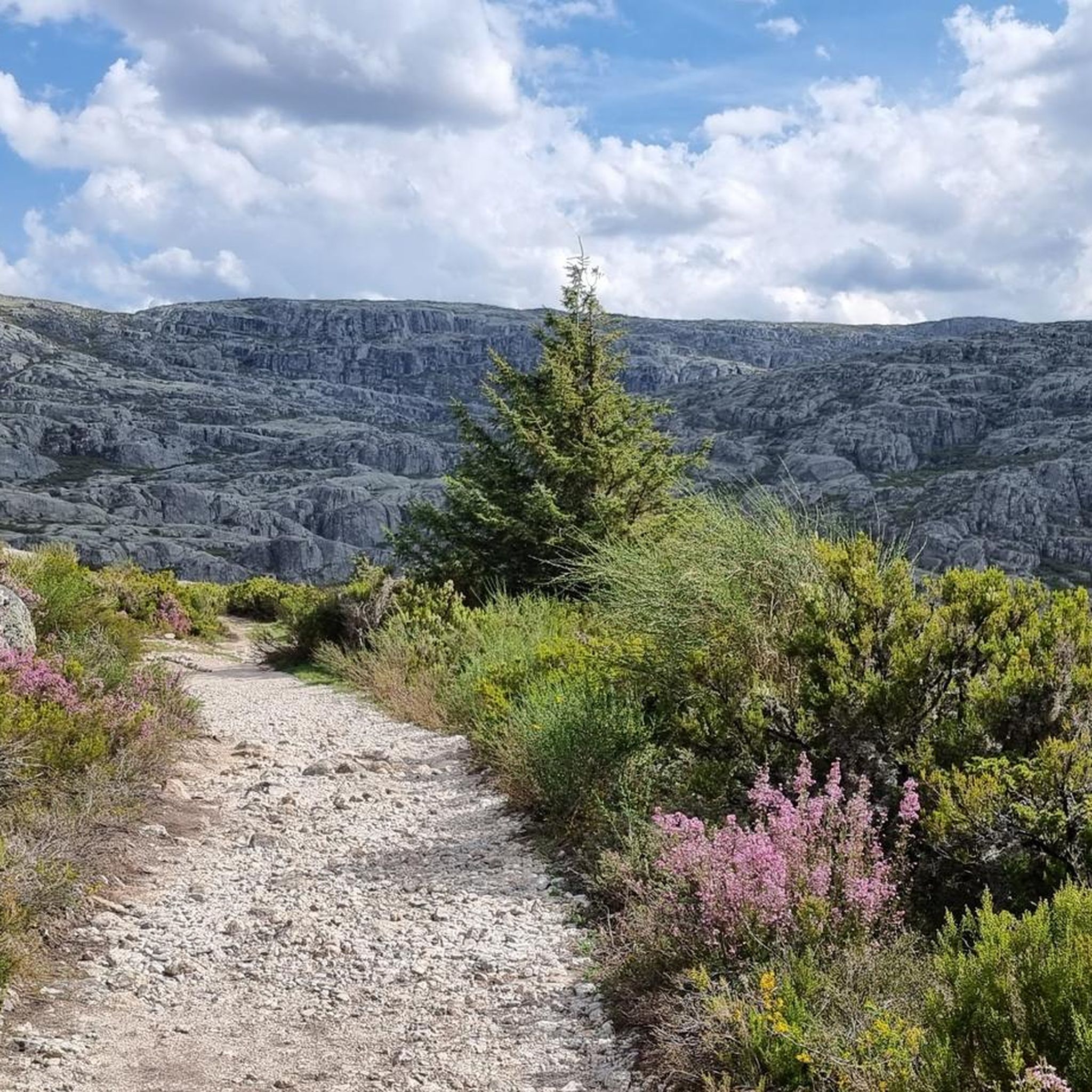
Fajão is nestled between the Serras del Açor and de la Lousã, and stands out for its unique architecture, made mainly of schist (xisto), the local stone that gives it a dark color and a characteristic appearance, making it one of the famous "schist villages" of the region. Fajão also has a parish museum that exhibits sacred art and objects of daily life, and boasts a history linked to the Resistance during the Salazarist regime.
1
0
Frequently Asked Questions
What kind of terrain can I expect on mountain bike trails around Oleiros?
The mountain bike trails around Oleiros traverse a diverse landscape characterized by dramatic pine forests, mountains, and river valleys. You'll encounter abundant schist rock formations, which are a defining geological feature of the region, especially near the Serra da Lousã. This means a mix of rugged, technical sections and more flowy paths, often with significant elevation changes.
Are there mountain bike trails suitable for beginners or families in Oleiros?
While Oleiros is known for its challenging terrain, there are options for various skill levels. The region, particularly the Serra da Lousã, offers a network of trails that cater to different abilities. For a moderate experience, consider the Ring route around the Santa Luzia dam, which is 17.3 miles (27.9 km) long and takes about 2 hours 31 minutes to complete.
What are the best times of year for mountain biking in Oleiros?
The best seasons for mountain biking in Oleiros are spring (March to June) and autumn (September to November). During these periods, temperatures are mild, and rainfall is generally lower, providing ideal conditions for exploring the trails. Summers can be hot, and winters may bring more rain.
Are there any circular mountain bike routes in the area?
Yes, many of the trails around Oleiros are designed as loops. For example, the Ring route around the Santa Luzia dam offers a scenic circular ride. Another option is the challenging Santa Luzia Dam and Fajão Loop, which is 35.0 miles (56.4 km) long and leads through river valleys and mountainous areas.
What natural attractions or viewpoints can I see along the mountain bike trails?
Oleiros offers stunning natural beauty. You can encounter the dramatic schist formations and river valleys. Notable attractions include the Fraga de Água d'Alta Waterfall, accessible via wooden walkways, and the Passadiços do Orvalho (Orvalho Walkways), which are part of a georoute offering stunning natural and geological sights. The Cristo-Rei statue also provides panoramic views of the village and surrounding forests.
Are there any challenging mountain bike trails for experienced riders?
Absolutely. Oleiros, especially near the Serra da Lousã, is known for its challenging routes. The Santa Luzia Dam Route 18 is a difficult 25.0 miles (40.2 km) path featuring significant elevation gain. Another demanding option is the Santa Luzia Dam and Fajão Loop, a 35.0 miles (56.4 km) trail with substantial climbing.
What do other mountain bikers say about the trails in Oleiros?
The mountain bike routes in Oleiros are highly rated by the komoot community, with an average score of 4.0 stars. Riders often praise the diverse terrain, from pine forests to rugged river valleys, and the well-marked trails that cater to different ability levels.
Are there any river beaches or places to swim near the mountain bike routes?
Yes, Oleiros boasts several picturesque river beaches perfect for relaxation and swimming, such as Álvaro River Beach and Cambas River Beach. These can be a refreshing stop after a ride, especially during warmer months.
Can I find accommodation or places to eat near the mountain bike trails?
The region, particularly the 'Aldeias do Xisto' (Schist Villages) area, has invested in cycling infrastructure, including 'Bikotel' accommodations that specialize in welcoming cyclists. The charming Schist Villages, like Álvaro and Estreito, also offer opportunities to rest and enjoy local cuisine.
Are there any historical sites or traditional villages to explore along the routes?
Yes, the area is rich in history and culture. You can explore the charming Schist Villages, such as Álvaro and Estreito, which showcase traditional Portuguese rural life and distinct schist architecture. Historical sites like the ancient Castle of Cova da Moura and the Castle of Sarzedas, offering panoramic views, are also nearby.
How many mountain bike trails are there in total around Oleiros?
There are 10 mountain bike trails available around Oleiros, offering a range of experiences from moderate to difficult. These routes allow you to explore the region's unique landscapes, including pine forests, river valleys, and schist formations.
Most popular attractions around Oleiros

Get inspired with the komoot mobile app


Explore more
Browse the best MTB trails in other regions.
