The best mountain hikes around Voerendaal
4.9
(7)
11
hikers
8
hikes
Mountaineering around Voerendaal is characterized by its undulating landscape within the "Land van Kalk" in South Limburg. The region features numerous ascents and descents, with elevations reaching up to 218 meters at Vrouwenheide, providing significant challenges for hikers. This topography creates demanding routes with considerable elevation changes, offering expansive views from higher points. The chalky soil supports a diverse environment, including fruit orchards, vineyards, and the scenic Geul river valley.
Best mountaineering routes around Voerendaal
- The most popular mountaineering route…
Last updated: October 17, 2026
4.7
(3)
3
hikers
10.5km
02:53
170m
170m
Moderate mountaineering route. Good fitness required. Easily-accessible paths. Suitable for all skill levels.
5.0
(2)
4
hikers
15.9km
04:27
300m
300m
Moderate mountaineering route. Good fitness required. Easily-accessible paths. Suitable for all skill levels.

5.0
(1)
1
hikers
7.48km
01:59
80m
80m
Easy mountaineering route. Great for any fitness level. Easily-accessible paths. Suitable for all skill levels.
19.3km
05:19
310m
310m
Hard mountaineering route. Very good fitness required. Mostly accessible paths. Sure-footedness required.
2
hikers
11.4km
03:08
180m
180m
Moderate mountaineering route. Good fitness required. Easily-accessible paths. Suitable for all skill levels.
Get access to more routes and recommendations from other explorers.
Already have an account?
Our route recommendations are based on thousands of hikes, rides, and runs completed by other people on komoot.
Start today with a free account
Your next adventure awaits.
Popular around Voerendaal
Via Coriovallum – a pilgrimage in the Dutch region of South Limburg
The Limburg200 MTB Ultra – A real Mountainbike Challenge
Landscape in transition – international cycling on the Green Route
Hiking around Voerendaal
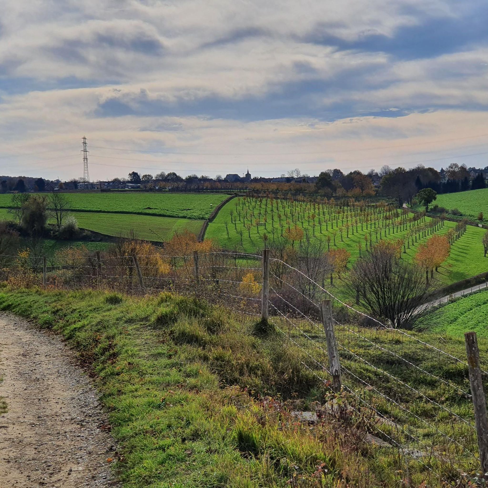
Running Trails around Voerendaal
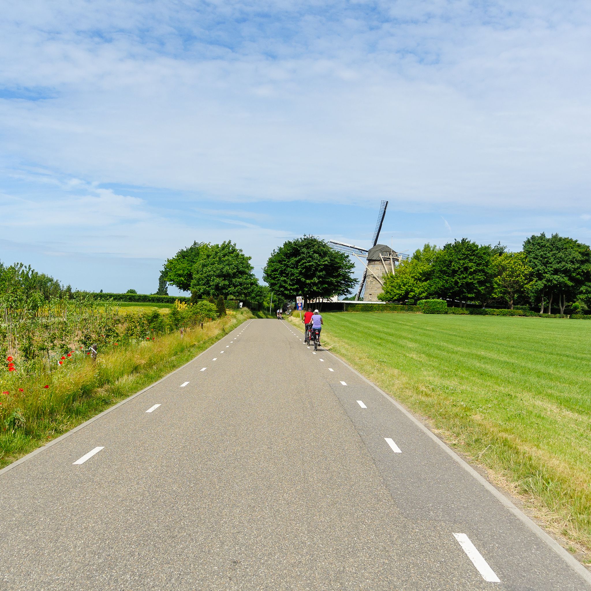
Road Cycling Routes around Voerendaal
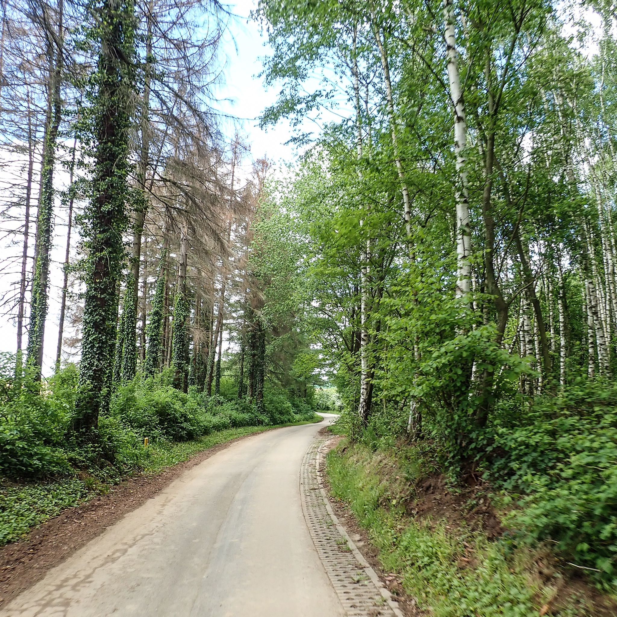
Cycling around Voerendaal
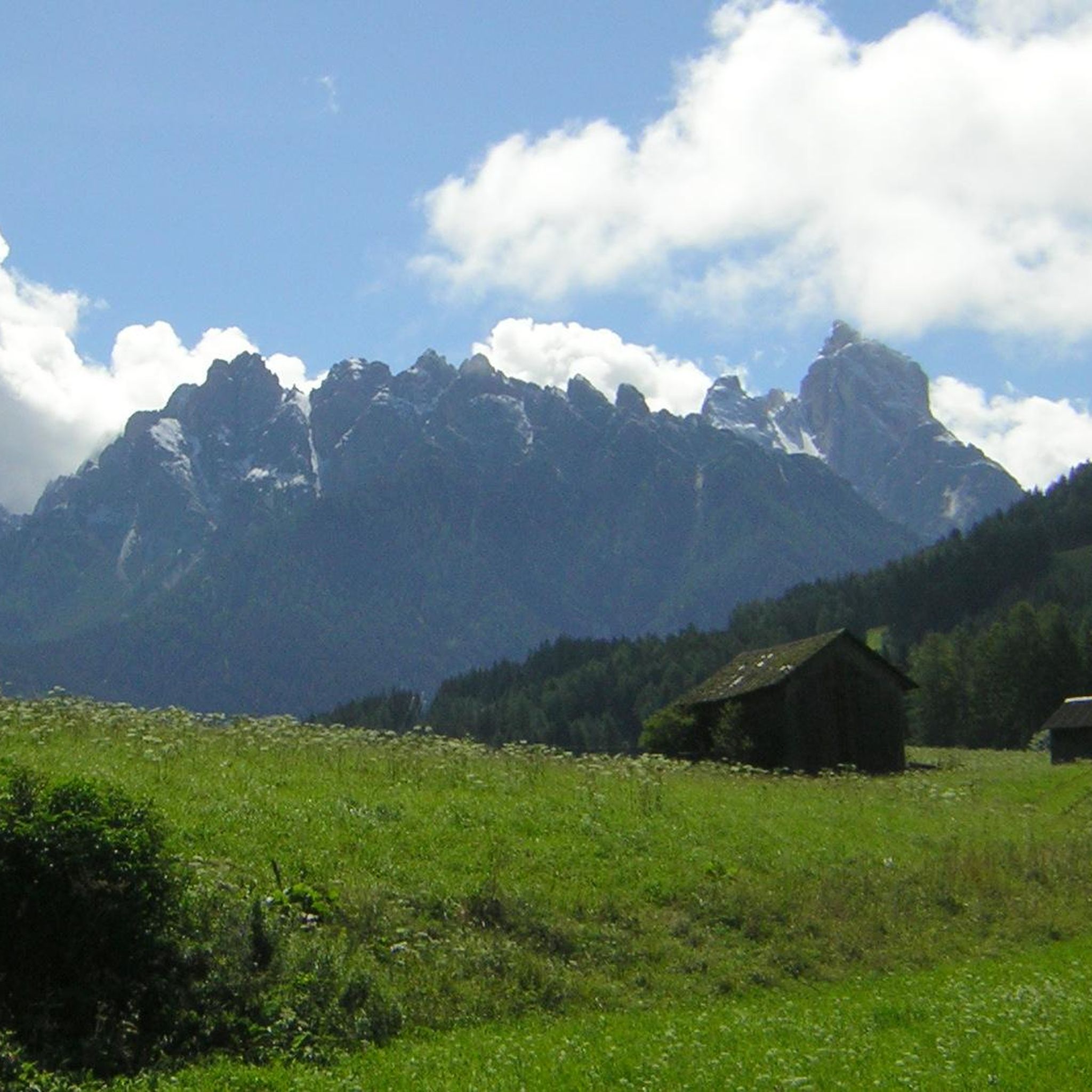
Gravel biking around Voerendaal
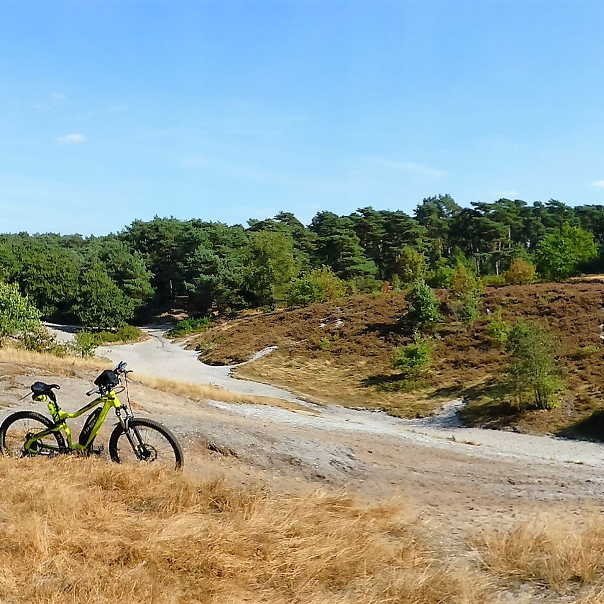
MTB Trails around Voerendaal
Other adventures around Voerendaal


Tips from the Community

As early as 1834, a mission cross was placed on the Gulperberg and processions were held here annually. In 1935, the Maria monument was erected on the hilltop. The monument as a whole is approximately 13 meters high. The pedestal is 10 meters high and was designed by sculptor-architect Piet Gerrits. The square base is decorated on all sides with wide cross-shaped mosaics depicting the role of Mary in salvation history. On top of the pedestal, a statue of the crowned Virgin Mary is placed. Mary (without the child Jesus) spreads her hands in a blessing gesture. The approximately 3-meter-high statue of white concrete is a design by the Maastricht sculptor Charles Vos.
4
0
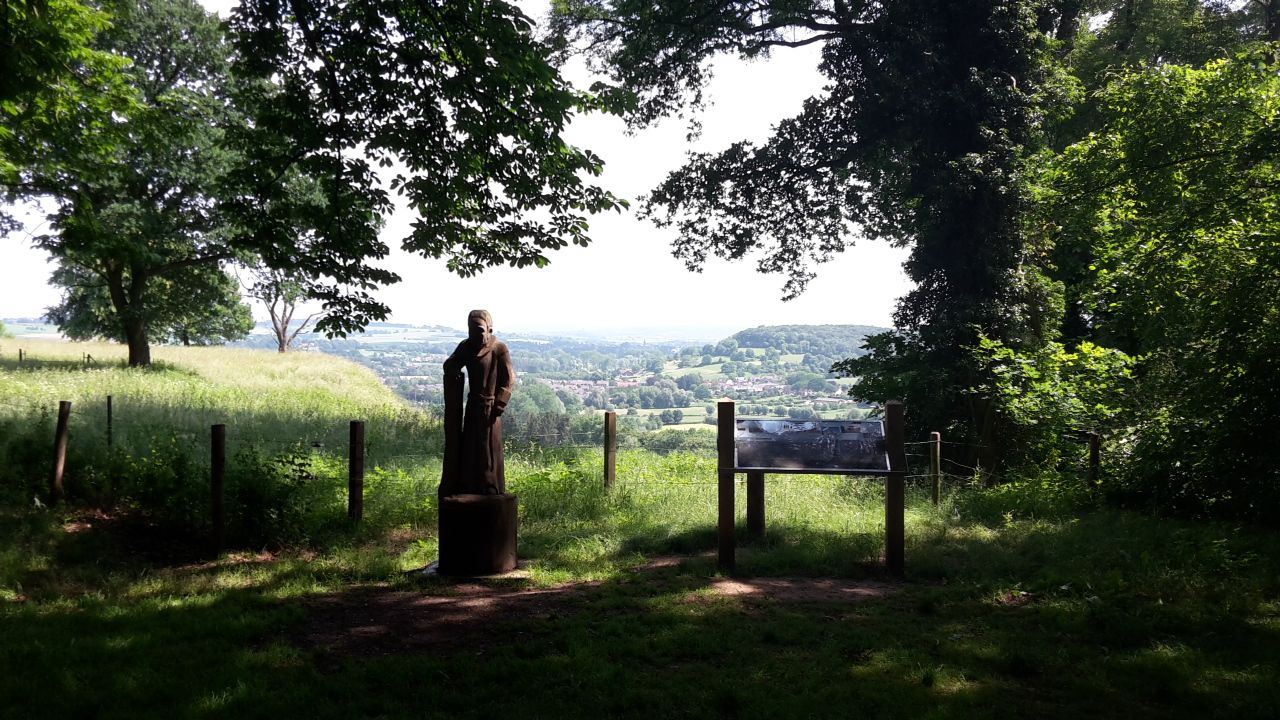
The Gulperberg is the northernmost spur of the Crapoel plateau and, at 157m, offers a magnificent, almost 360° view over the Geuldal in the east and the Gulpdal in the west. The two rivers meet in Gulpen.
4
0

A steep climb leads up the mountain. The view makes up for it.
1
0
A steep climb leads up the mountain. The view makes up for it.
1
0


The rock formations historically originate from the Meno valley and are approx. 2 million years old
4
0

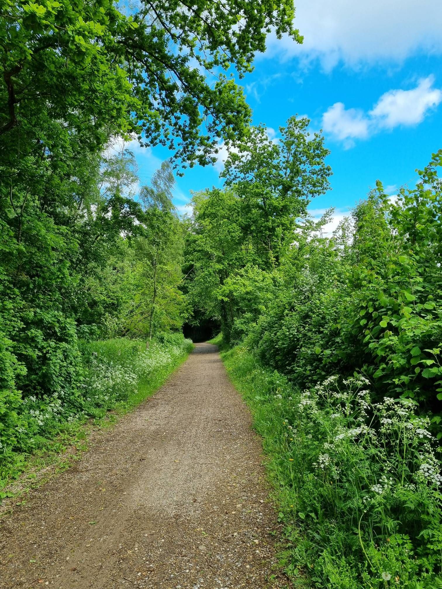
This forest path winds through the heart of the Vijlenerbos, one of the most beautiful and quietest places in South Limburg.
0
0
An inviting bench stands between the tall trees of the Vijlenerbos.
0
0
Frequently Asked Questions
How many mountaineering routes are there around Voerendaal?
There are 8 mountaineering routes available around Voerendaal, offering a range of experiences from moderate to difficult. These routes are highly rated by the komoot community, with an average score of 4.9 stars.
What kind of terrain can I expect on mountaineering routes in Voerendaal?
The terrain around Voerendaal is characterized by its undulating landscape within the 'Land van Kalk' in South Limburg. You'll encounter numerous ascents and descents, with significant elevation changes that provide a challenging experience. The chalky soil supports a diverse environment, including fruit orchards, vineyards, and the scenic Geul river valley.
Are there any circular mountaineering routes around Voerendaal?
Yes, many of the mountaineering routes around Voerendaal are circular. For example, you can explore The Geul River and Surroundings – View of Vijlen loop from Epen, which offers scenic views and a moderate challenge. Another option is the Gulperberg Climb from Partij – The Mediterranean Eyser Heuvelrug loop from Gulpen-Wittem, known for its Mediterranean-like landscapes.
What historical landmarks or natural features can I see along the routes?
The routes around Voerendaal often pass by interesting historical and natural features. You might encounter castles like Terborgh Castle, or explore unique geological formations such as the Strooberg Quarry and Däölkesberg Abri (Limestone Rock Shelter). The region's chalky soil also creates a distinct environment with lush fruit orchards and vineyards.
Are there family-friendly mountaineering routes in Voerendaal?
While many routes offer significant elevation changes, there are options suitable for families. The overall difficulty ranges from moderate to difficult, so it's best to check individual route details. For a moderate option, consider the Terborgh Castle – Slakweg Climb loop from Geleen, which is 5.0 miles (8.1 km) long and features historical landmarks.
Can I bring my dog on mountaineering routes in Voerendaal?
Many trails in the Voerendaal area are dog-friendly, but it's always recommended to check specific route regulations or local signage. The varied terrain and natural landscapes provide an excellent environment for walks with your canine companion.
Are there options for beginners looking for easier mountaineering trails?
Yes, there are a couple of easier routes available. While the region is known for its challenging hills, you can find paths that are less demanding. For example, the Terborgh Castle – Slakweg Climb loop from Geleen is rated moderate and is 5.0 miles (8.1 km) long, offering a good starting point for those new to the area's 'mountain' hiking.
Where can I find parking for mountaineering routes in Voerendaal?
Parking availability varies by trailhead. Many routes start from villages or towns like Gulpen-Wittem, Epen, Vaals, or Geleen, where public parking is often available. It's advisable to check the starting point of your chosen route for specific parking information.
How long do mountaineering trails in the Voerendaal area typically take?
The duration of mountaineering trails in Voerendaal varies depending on the route's length and difficulty. For instance, a moderate route like the Maria Monument, Gulperberg – Virgin Mary statue loop from Gulpen-Wittem typically takes around 2 hours 52 minutes to complete its 6.5 miles (10.4 km). Longer, more difficult routes, such as View of Vaals – Forest Café 't Hijgend Hert loop from Vaals, can take over 5 hours for their 12.2 miles (19.7 km).
Are there places to eat or stay near the mountaineering trails?
Yes, the villages and towns surrounding the mountaineering routes, such as Gulpen-Wittem, Epen, and Vaals, offer various cafes, pubs, and accommodation options. These places are perfect for a post-hike meal or an overnight stay to explore the region further.
What is the best time of year for mountaineering in Voerendaal?
The rolling hills and diverse landscapes of Voerendaal are enjoyable year-round. Spring brings blooming orchards and wildflowers, while autumn offers vibrant foliage. Summer is ideal for longer days, and even winter can be beautiful with crisp air, though some paths might be muddy. Always check local weather conditions before heading out.
What makes the landscape around Voerendaal unique for mountaineering?
Voerendaal's landscape is unique due to its position in the 'Land van Kalk' (Land of Chalk) in South Limburg. This chalky soil creates a distinct environment with lush fruit orchards, vineyards, and orchid meadows. The significant elevation changes, with points like Vrouwenheide reaching 218 meters, provide challenging ascents and expansive views, giving a true 'mountain' hiking feel despite being in the Netherlands.
Most popular routes around Voerendaal
Most popular attractions around Voerendaal

Get inspired with the komoot mobile app


Explore more
Browse the best Mountain Hikes & Routes in other regions.
