The best cycling routes around Landkreis Bayreuth
4.5
(11322)
54,173
riders
2,431
rides
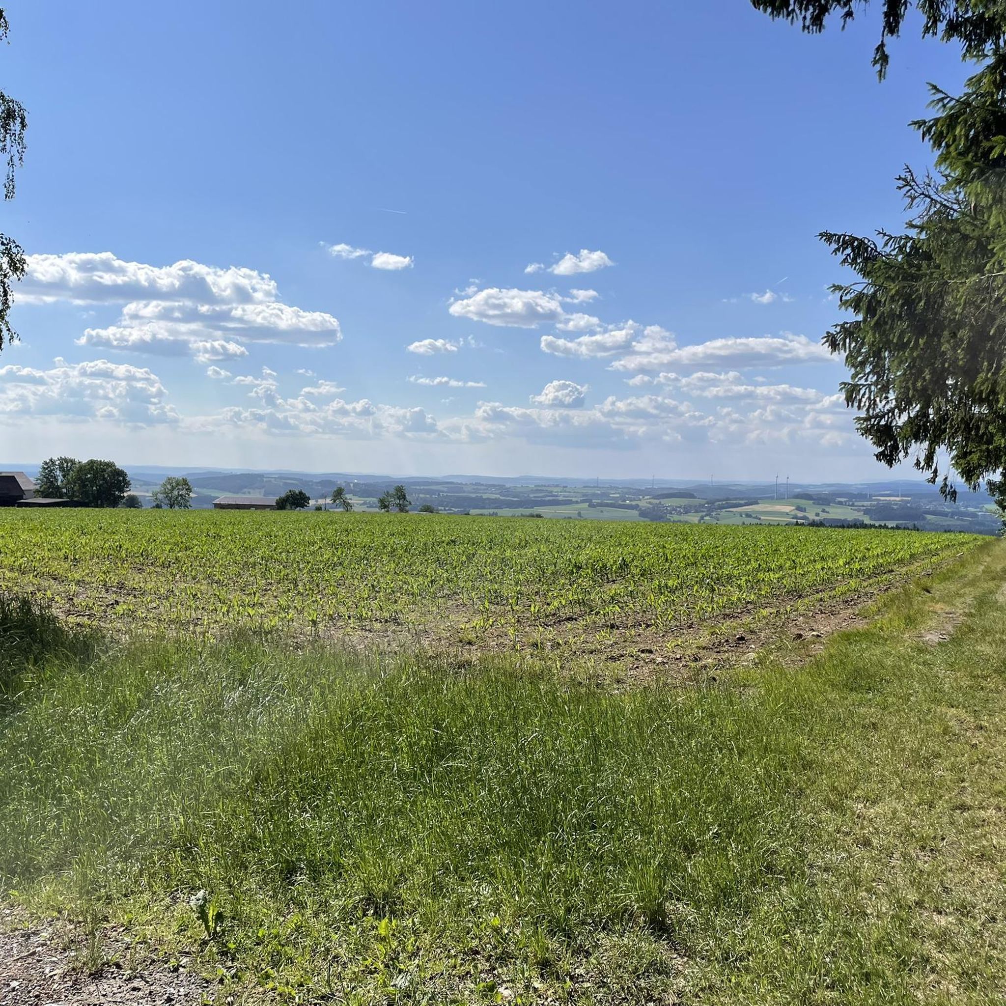
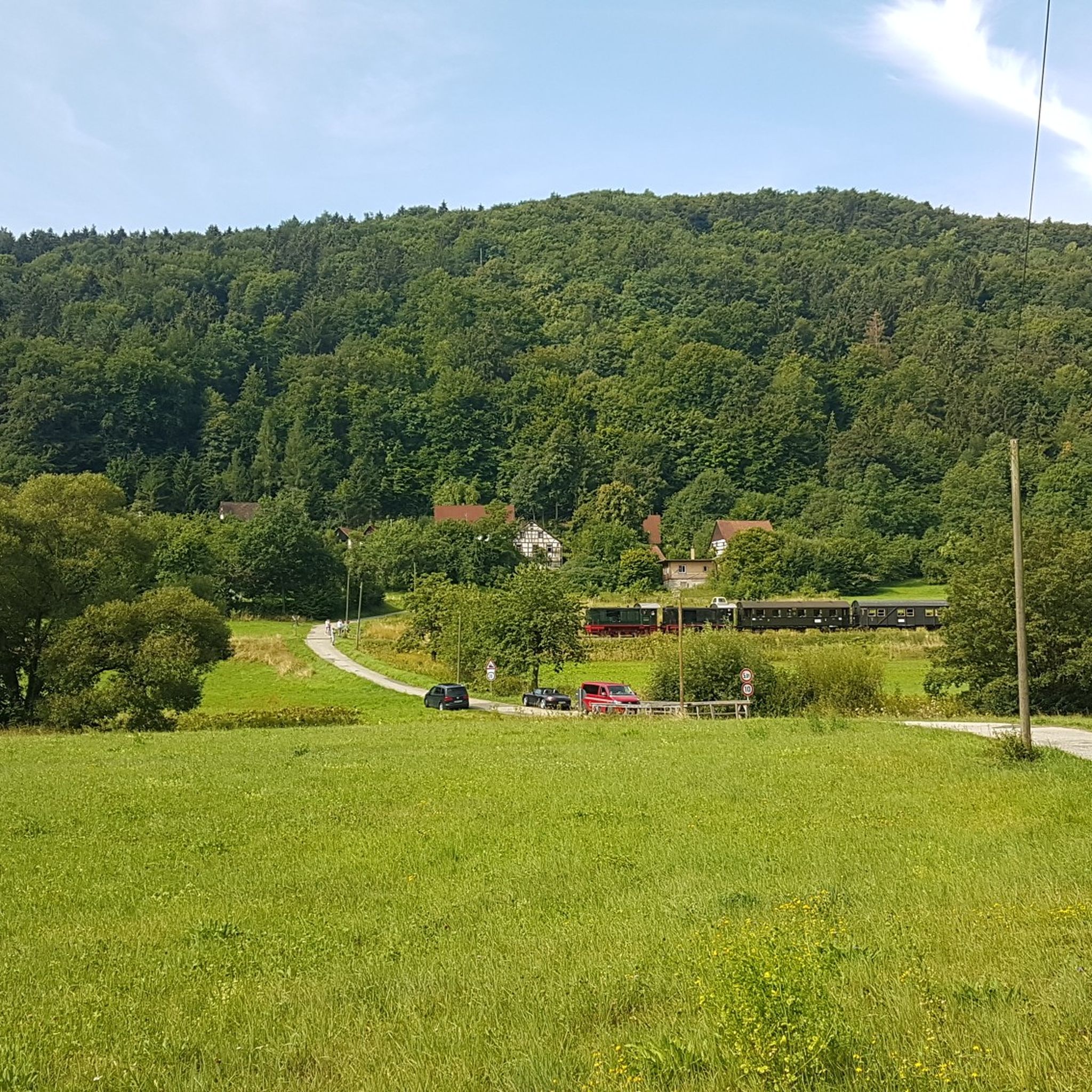
Touring cycling routes around Landkreis Bayreuth offer diverse landscapes, including the Fichtelgebirge low mountain range with its forest paths and varied elevations. The region features the hilly terrain of the Franconian Switzerland-Veldenstein Forest Nature Park, alongside idyllic river valleys such as the Red Main and Wiesent. Cyclists encounter rolling hills, dense forests, and green meadows throughout the area.
Best touring cycling routes around Landkreis Bayreuth
- The most popular touring cycling route is Through the northern "Fränkische" - Franconian Switzerland, a 17.7 miles (28.5 km) trail that takes 1 hour 51 minutes to complete. This moderate route explores the varied terrain of northern Franconian Switzerland.
- Another top favourite among local touring cyclists is Bavaria-Bohemia Bridge Cycle Path, a difficult 35.2 miles (56.6 km) path. This route offers a long-distance connection between Bavaria and Bohemia.
- Local touring cyclists also love the Haidenaab cycle route, a 59.9 miles (96.5 km) trail leading through the Haidenaab river valley, often completed in about 6 hours 22 minutes.
- Touring cycling around Landkreis Bayreuth is defined by the Fichtelgebirge low mountain range, the hilly Franconian Switzerland, and scenic river valleys. The extensive network offers options for easy, moderate, and difficult routes.
- The routes in Landkreis Bayreuth are highly rated by the komoot community with an average score of 4.6 stars from over 9,700 reviews. More than 51,000 touring cyclists have used komoot to explore Landkreis Bayreuth's varied terrain.
Last updated: October 10, 2026
4.5
(59)
200
riders
28.5km
01:52
310m
310m
Moderate bike ride. Good fitness required. Mostly paved surfaces. Suitable for all skill levels.
4.9
(30)
86
riders
56.6km
03:40
460m
570m
Hard bike ride. Very good fitness required. Mostly paved surfaces. Suitable for all skill levels.

4.4
(16)
45
riders
96.5km
06:23
670m
630m
Hard bike ride. Very good fitness required. Mostly paved surfaces. Suitable for all skill levels.
4.2
(18)
56
riders
36.3km
02:32
370m
370m
Moderate bike ride. Good fitness required. Mostly paved surfaces. Suitable for all skill levels.
5.0
(1)
17
riders
23.6km
01:24
130m
400m
Easy bike ride. Great for any fitness level. Mostly paved surfaces. Suitable for all skill levels.
4.7
(214)
867
riders
39.3km
02:48
360m
360m
Moderate bike ride. Good fitness required. Mostly paved surfaces. Suitable for all skill levels.
4.8
(422)
1,256
riders
Moderate bike ride. Good fitness required. Mostly paved surfaces. Suitable for all skill levels.
4.6
(114)
567
riders
59.2km
03:29
280m
280m
Moderate bike ride. Good fitness required. Mostly paved surfaces. Suitable for all skill levels.
4.5
(140)
519
riders
35.9km
02:27
400m
410m
Moderate bike ride. Good fitness required. Mostly paved surfaces. Suitable for all skill levels.
4.7
(138)
649
riders
Hard bike ride. Good fitness required. You may need to push your bike for some segments of this route.
Get access to more routes and recommendations from other explorers.
Already have an account?
Our route recommendations are based on thousands of hikes, rides, and runs completed by other people on komoot.
Start today with a free account
Your next adventure awaits.
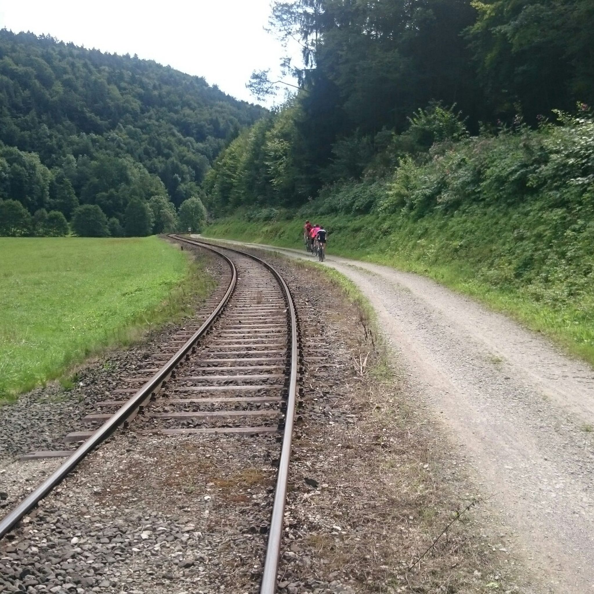
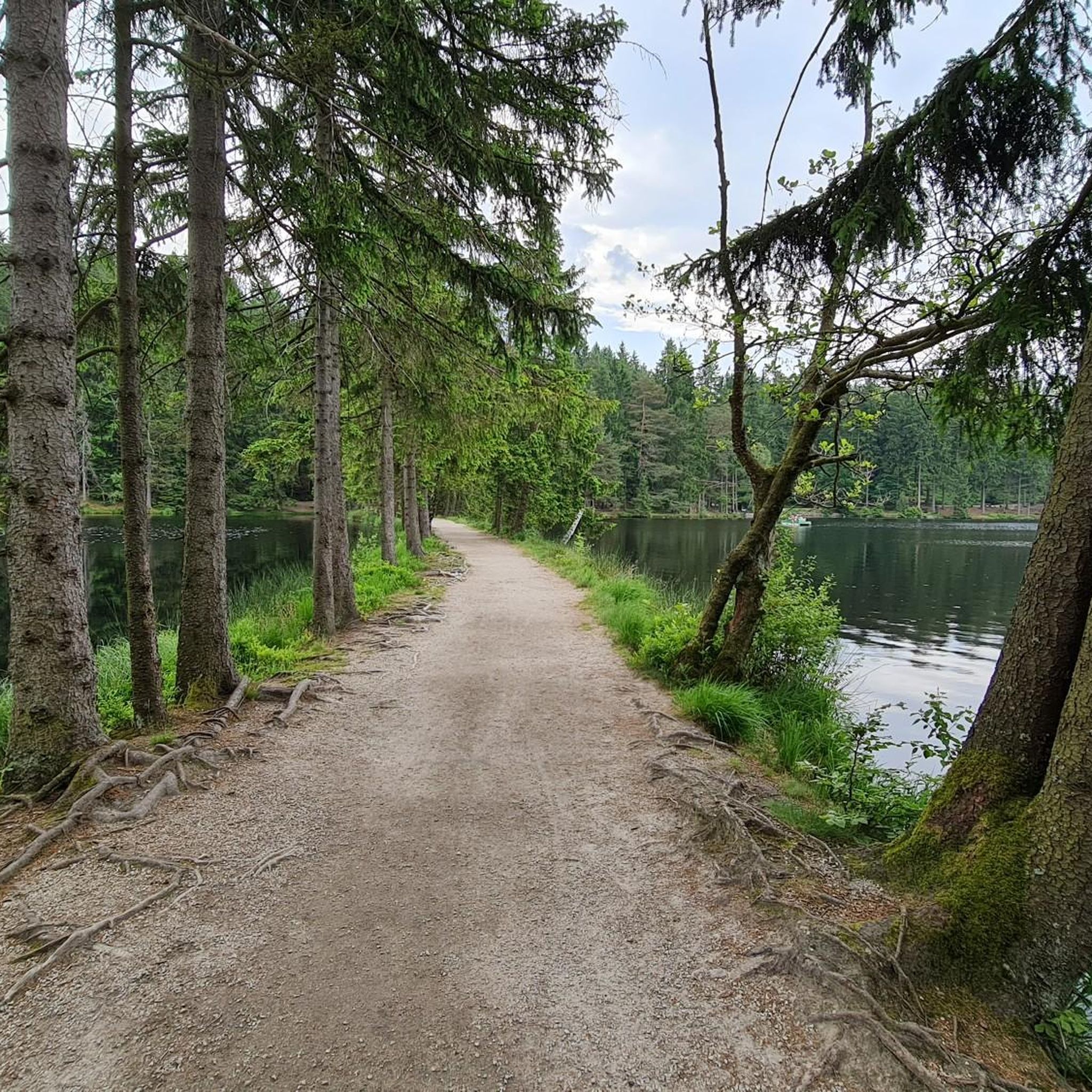
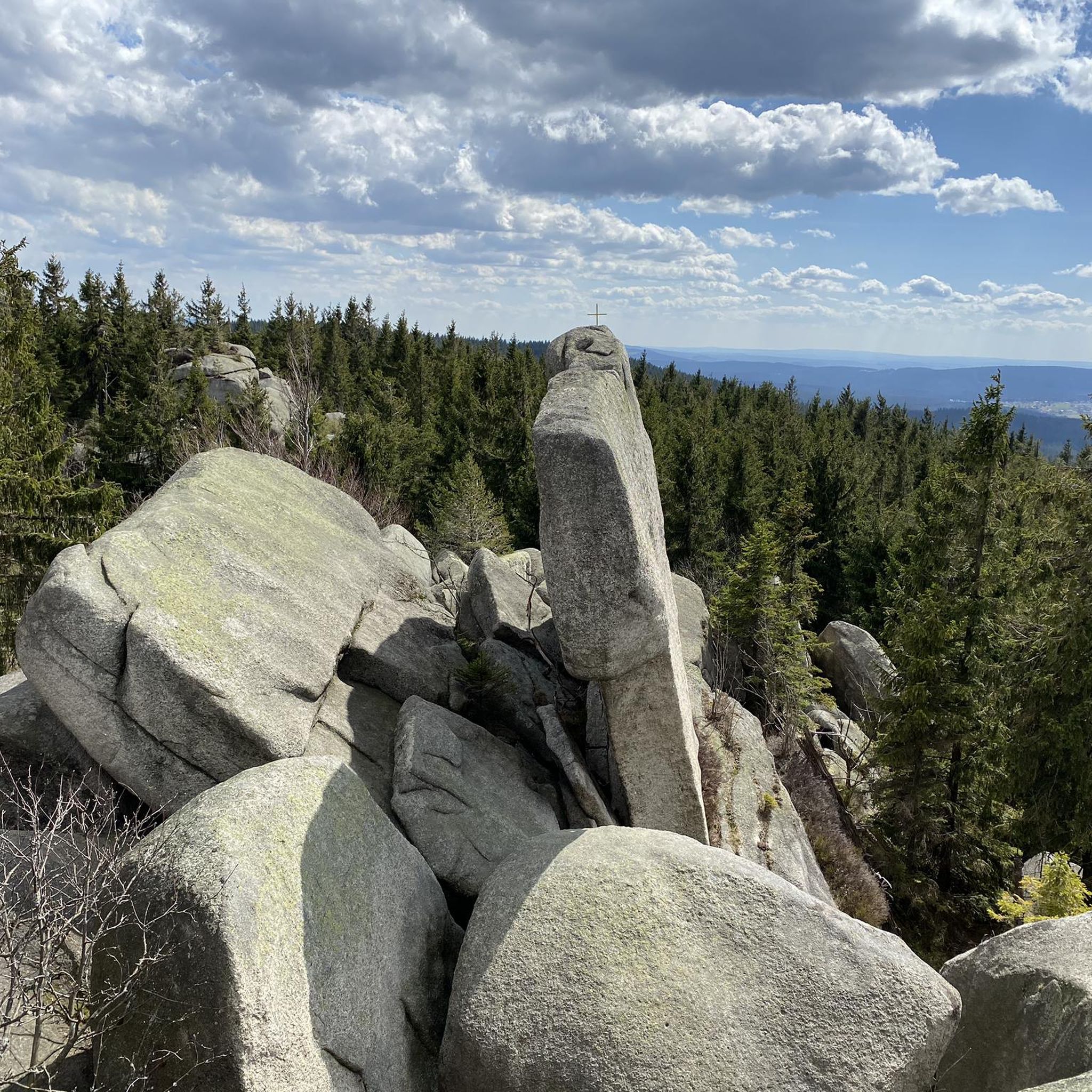
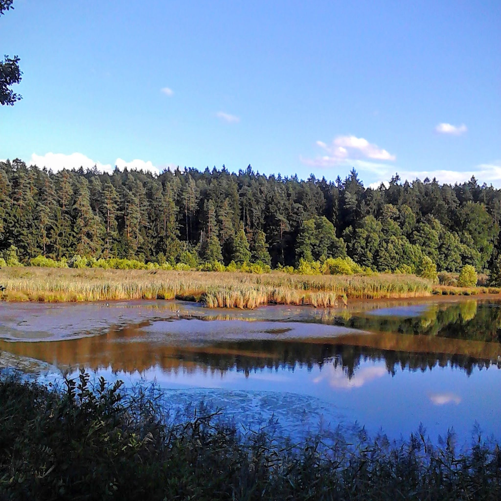
Other adventures around Landkreis Bayreuth


Tips from the Community

The mighty Hohenzollern fortress is one of the most impressive Renaissance castles in Germany.
2
0
The Plassenburg is an imposing fortress and castle complex above the Upper Franconian town of Kulmbach. It is one of the most important Renaissance structures in Germany and is the most striking landmark in the region. It serves as a visual point of orientation and an architectural highlight of the landscape.
2
0

Anyone who follows the Wiesent downstream from the historic Eichenmühle mill experiences one of the most untouched and picturesque sections of the entire valley. This section of the trail combines spectacular geology, centuries-old cultural history, and a vibrant river ecosystem in a confined space and is best explored on foot or by bike on the paved, natural farm track. The adventure begins directly below the old mill property at the Truppach confluence. Here, the upper Wiesent valley celebrates a small, quiet river spectacle when the Truppach, coming from the direction of Obernsees, joins from the left. Framed by dense alder stands and willows, the confluence area has an almost enchanted atmosphere. Looking back from the small Truppach bridge, you are offered a fantastic panorama: in the foreground, the water merges, while in the background, the historic half-timbered mill and the imposing dolomite walls rise up. Continuing along the river course in the shade of these mighty, bright rock formations, you reach the historic river weir on the Wiesent. Where the water now gently babbles over the barrier, the economic heart of the valley once beat. For centuries, the weir regulated the water level for the so-called "Wässerwiesen" – a sophisticated irrigation system that is now a UNESCO World Heritage site. At the same time, the facility was used for fishing, which is reflected in the name of the subsequent hamlet, Aalkorb. The designation, over a thousand years old, goes back to wooden fish traps that were hung in the flowing Wiesent at precisely these weirs. Today, the former barrier has been ecologically redesigned so that rare fish species such as the brown trout can once again easily pass the obstacle on their migrations. Behind the weir, the valley widens slightly, and the path leads along striking, vertical climbing rocks directly into the elongated district of Waischenfeld, Nankendorf. Here, the Wiesent flows quietly and peacefully through the village, past old willows, and invites you to stop for a well-deserved refreshment after an eventful passage through nature.
4
0


Very tasty and very friendly staff
2
0

Mostly directly on the banks of the Rotmain on shady avenues lined with a few benches, hikers and cyclists share the asphalted route.
6
0
The Rot-Main-Auen-Weg leads cyclists and hikers through Bayreuth, always along the Rotmain river.
7
0
Frequently Asked Questions
How many touring cycling routes are available in Landkreis Bayreuth?
There are over 2,400 touring cycling routes in Landkreis Bayreuth, offering a wide range of options for all skill levels. This includes over 500 easy routes, nearly 1,000 moderate routes, and over 900 difficult routes.
What kind of terrain can I expect when cycling in Landkreis Bayreuth?
Landkreis Bayreuth offers diverse terrain. You'll find demanding climbs and forest paths in the Fichtelgebirge, rolling hills in the Franconian Switzerland-Veldenstein Forest Nature Park, and idyllic, gentler paths along river valleys like the Red Main and Wiesent. The landscape features a mix of forests, meadows, and varied elevations.
Are there challenging touring cycling routes in the region?
Yes, for experienced cyclists seeking a challenge, the Fichtelgebirge low mountain range provides demanding climbs. Routes like the Bavaria-Bohemia Bridge Cycle Path and the Haidenaab cycle route are rated as difficult and offer significant distances and elevation changes.
Are there family-friendly touring cycling routes in Landkreis Bayreuth?
Absolutely. Many easy and moderate routes are suitable for families. The gentle inclines along river valleys, such as the Red Main, are particularly pleasant. An easy option is the Train line cycling and moor bathing around the Ochsenkopf, which is relatively flat and scenic.
What are some scenic touring cycling routes with viewpoints?
The region is rich in scenic routes. The Mistelbach–Mistelgau Cycle Path – Panoramic view of Oberwaiz loop from Bayreuth Hbf offers beautiful vistas. Cycling through the Fichtelgebirge also provides breathtaking views, especially around the Ochsenkopf Pass. The Main Cycle Path, which passes through the region, is known for its picturesque river landscapes.
Are there circular touring cycling routes available?
Yes, the region offers numerous circular routes. The 'Bayreuth cycling ring' itself has inner and outer loops with extensions for various combinations. Many individual tours, such as the Main Valley Cycle Path – Altenplos Water Mill loop from Bayreuth Hbf, are designed as loops, allowing you to start and end at the same point.
What can I see along the touring cycling routes in Landkreis Bayreuth?
You can discover a wealth of natural and historical attractions. Along the routes, you might encounter unique rock formations like the Teufelshaus and Bing Cave in Franconian Switzerland. Historic towns and cultural sights are abundant, including castles such as Rabenstein Castle, Pottenstein Castle, and the Hohenberneck castle ruins. The Upper Püttlach Valley also offers stunning natural beauty.
What is the best season for touring cycling in Landkreis Bayreuth?
The best seasons for touring cycling in Landkreis Bayreuth are spring and autumn. During these times, temperatures are mild, and the natural scenery is particularly vibrant, making for a pleasant cycling experience.
Are there long-distance touring cycling routes that pass through Landkreis Bayreuth?
Yes, Landkreis Bayreuth is integrated into several significant long-distance cycling routes. These include sections of the Main Bicycle Route, the Castle Route (connecting Mannheim to Prague), and the Saxony-Bavarian cities network bicycle route. The Bavaria-Bohemia Bridge Cycle Path is another notable long-distance connection.
What do other touring cyclists enjoy most about cycling in Landkreis Bayreuth?
The area is highly rated by the komoot community, with an average score of 4.6 stars from over 9,700 reviews. Cyclists often praise the diverse landscapes, from the challenging Fichtelgebirge to the serene river valleys, and the extensive, well-maintained network of paths that cater to various preferences.
Can I access touring cycling routes using public transport?
While specific public transport connections for bikes vary, the region is generally well-connected. Bayreuth itself is a transport hub. Many routes, especially those starting from larger towns, can often be reached by train, allowing for flexible tour planning. It's advisable to check local public transport schedules and bike carriage policies for specific routes.
Are there bike-friendly accommodations or cafes along the routes?
Yes, the region is well-equipped to support cyclists. Many accommodations along the routes are cyclist-friendly, offering modern comfort and services. You'll also find cozy beer gardens and cafes, particularly in towns and villages along popular routes like the Main Cycle Path, perfect for a break and refreshment.
Where can I find information about cycling maps or e-bike rentals?
Cycling maps and detailed information are readily available at local tourist offices throughout Landkreis Bayreuth. E-bike rentals are also offered in various locations, providing an excellent option for those who prefer a little assistance on the region's diverse terrain.
Most popular routes around Landkreis Bayreuth
Most popular attractions around Landkreis Bayreuth

Get inspired with the komoot mobile app


Didn’t find what you were looking for?
Check out more Cycling routes throughout Landkreis Bayreuth below and find the perfect route in your destination.
