The best cycling routes around Terneuzen
4.3
(830)
6,789
riders
468
rides
Touring cycling routes around Terneuzen are characterized by flat polder landscapes, extensive waterways, and coastal paths along the Westerschelde Estuary. The region's terrain is generally low-lying, offering minimal elevation gain, making it suitable for long-distance cycling. Numerous canals and dikes shape the environment, providing a network of paths through agricultural areas and small towns.
Best touring cycling routes around Terneuzen
- The most popular touring cycling route is Zeedijk Cycle Path – Westerschelde Estuary loop from Terneuzen, a 32.7 miles…
Last updated: October 18, 2026
4.5
(52)
313
riders
57.6km
03:23
80m
80m
Moderate bike ride. Good fitness required. Mostly paved surfaces. Suitable for all skill levels.
4.6
(31)
178
riders
54.0km
03:08
70m
70m
Moderate bike ride. Good fitness required. Mostly paved surfaces. Suitable for all skill levels.

3.0
(1)
155
riders
60.7km
04:22
60m
60m
Hard bike ride. Good fitness required. You may need to push your bike for some segments of this route.
4.7
(21)
87
riders
80.9km
04:46
100m
100m
Moderate bike ride. Good fitness required. Mostly paved surfaces. Suitable for all skill levels.
4.6
(14)
76
riders
Moderate bike ride. Good fitness required. Mostly paved surfaces. Suitable for all skill levels.
Get access to more routes and recommendations from other explorers.
Already have an account?
Our route recommendations are based on thousands of hikes, rides, and runs completed by other people on komoot.
Start today with a free account
Your next adventure awaits.
Popular around Terneuzen
By West, East and Zeeuws-Vlaanderen — GR Uilenspiegel
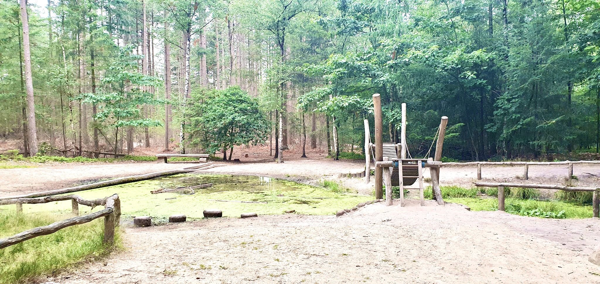
Romping in nature – 20 walks around play forests
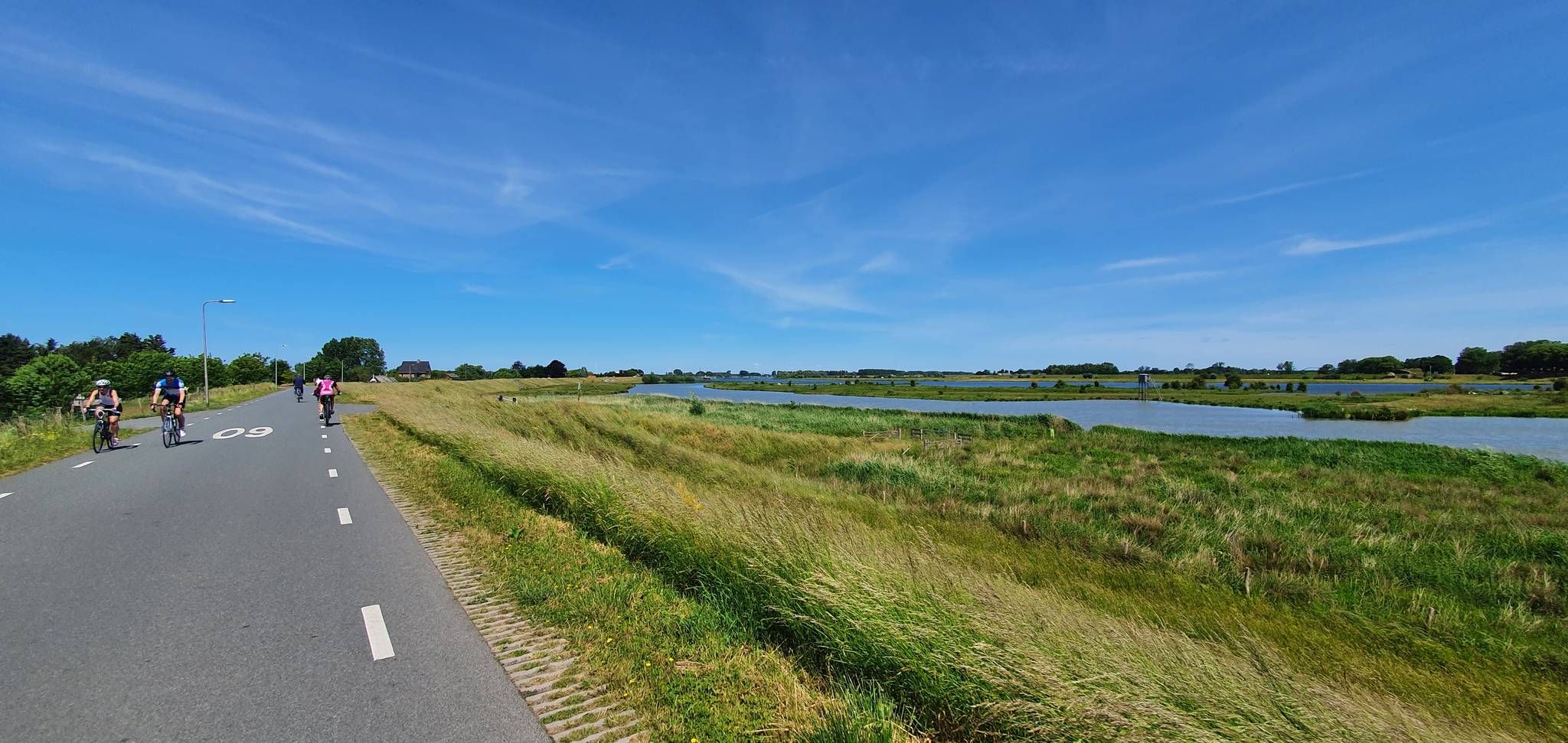
Fresh air guaranteed – five rides along the Netherlands’ dikes
Hiking around Terneuzen
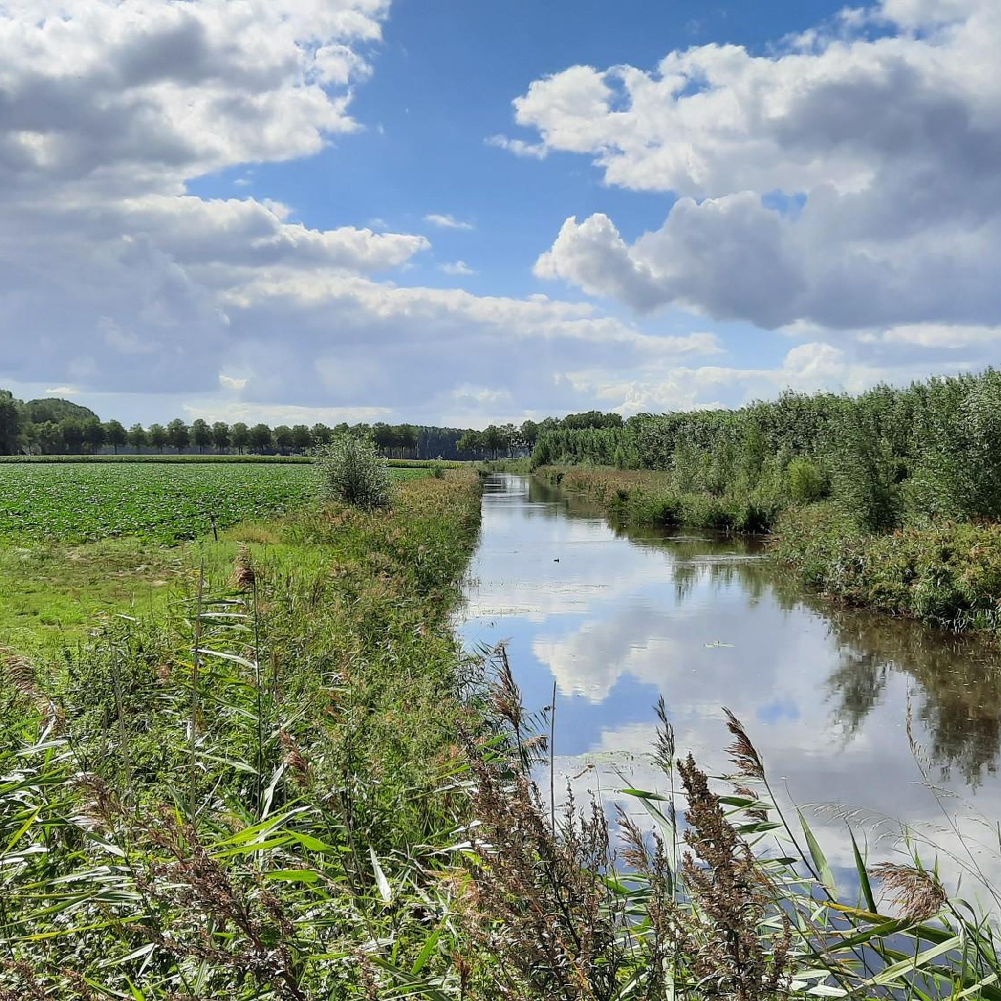
Road Cycling Routes around Terneuzen
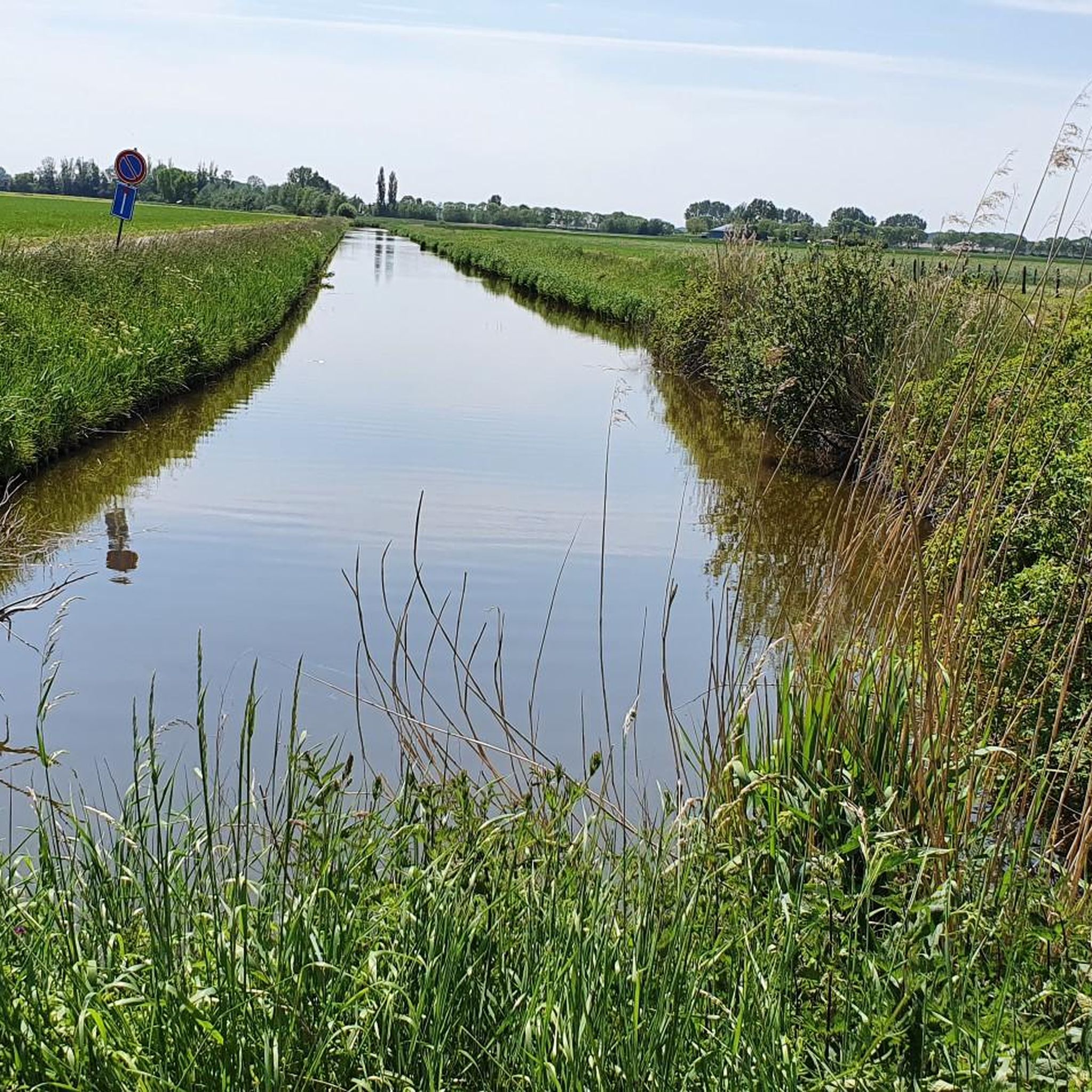
MTB Trails around Terneuzen
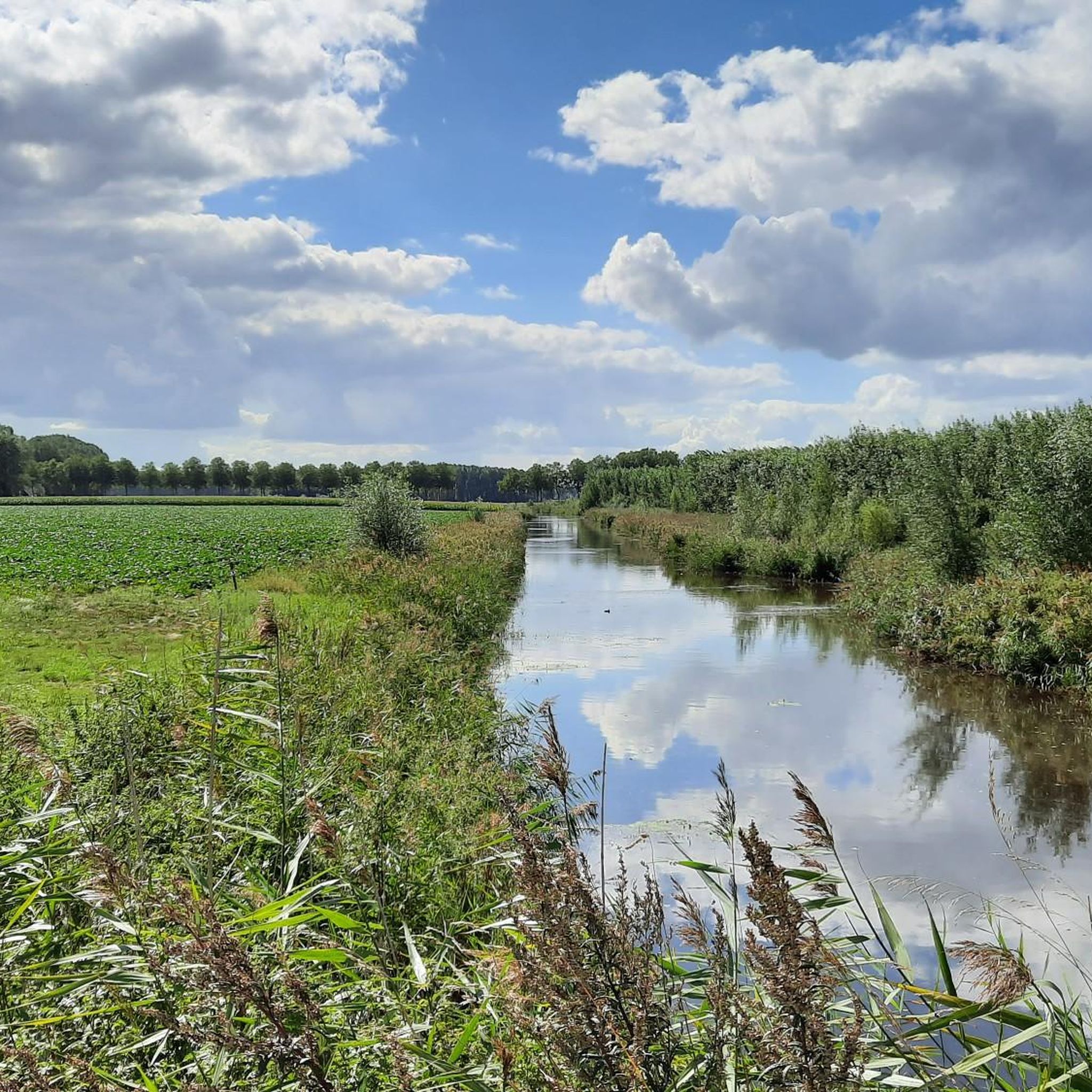
Running Trails around Terneuzen

Gravel biking around Terneuzen
Other adventures around Terneuzen


Tips from the Community

Groede cycle path
0
0

A very popular photo motif
0
0

Dike cycle path towards Breskens
0
0


On an information board on site, the history of the Stekense Vaart can be read. It began as early as 1315. Count Robrecht III of Béthune then gave the order to dig a canal from Ghent to Hulst. In Stekene, this new 'waterway' turned marshes into arable land and increased export opportunities. In 1556, many fields in Stekene were submerged for a long time. King Philip II of Spain therefore granted a charter for a direct connection to the Durme. In 1628, King Philip IV gave permission to extend the Stekense Vaart by 1300 meters to Hulst. This connected the Vaart to the Westerschelde, which was advantageous for trade. Hulst could thus also be supplied with war materials. South of Moerbeke, between 1637 and 1643, a new canal was dug connecting the Stekense Vaart with the Moervaart. Ships sailing between Ghent and Stekene no longer had to make a detour via the Spelonckvaart. After the Eighty Years' War ended in 1648, the connection with the Westerschelde was broken. The economic benefit of the Vaart was lost. The Vaart was dammed at Tromp in 1691. In 1853, the municipality of Stekene became the owner of the Vaart on the condition that it also be responsible for maintenance. In 1950, the Vaart was declared unnavigable. Wastewater from Sint-Niklaas caused pollution and a strong stench, here at the Quay. In 1953, a cross dam was built in the Durme in Lokeren. The tidal effect on the Stekense Vaart was thus a thing of the past. In 1964, a water treatment plant was commissioned in Sint-Niklaas. This significantly improved the water quality in the Stekense Vaart. In 1995, a water treatment plant was also built in Stekene. In 1998, the area around the Vaart was classified as a quiet area.
2
0
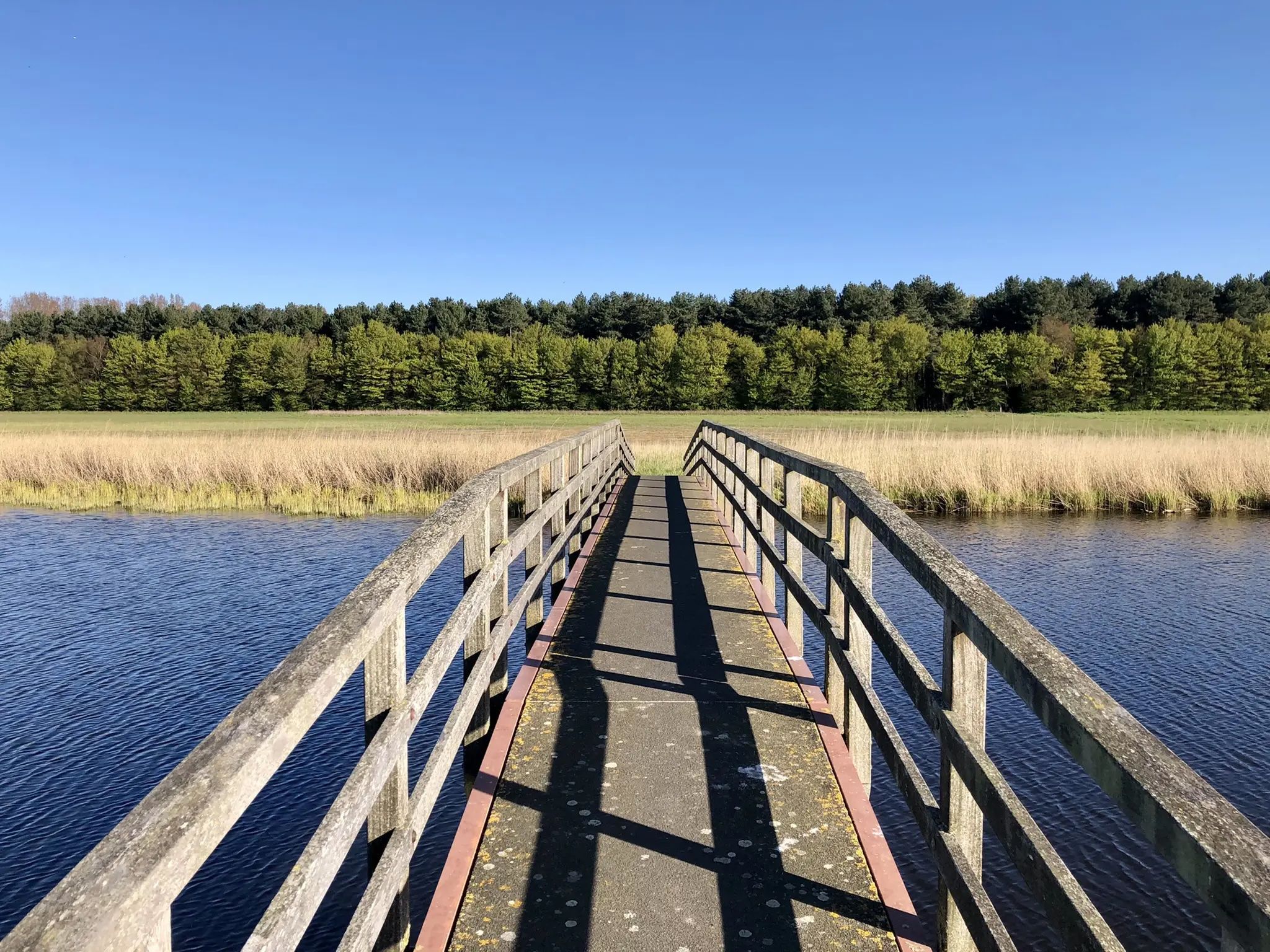
The wooden arch bridge over the Stekense Vaart, named after Frans Coppens, was receiver-clerk in the municipality of Sinaai for almost a quarter of a century. He played an important role in "de Groote Watering van Sinay", the name given to the project launched by the Boerenbond in 1926. This project was initiated after repeated floods and aimed to make the polders 'dry'. The construction of the pumping station near Hondsnest was one of the first achievements within this project. During the Second World War, the unemployed were employed to clean or widen ditches. Under the impetus of dike reeve Jozef "meester" Maes and... receiver-clerk Frans Coppens (!), major reclamation works were carried out in the 60s, continuing into the following decades. Thus, Hondsnest got a new pumping station in 1975. In the meantime, the watering area had been converted into a polder, pursuant to the polder law of June 3, 1957. source: info file "Polder Daknam-Sinaai"
2
0

Het Groot Eiland has something mysterious about it — a place where water and land merge and nature truly runs its course. Creeks embrace the central, secluded area, giving the landscape an almost magical atmosphere. In the southeast, you'll find a quiet walking path that leads you to the so-called 8th Shortcut. A little further west, a pleasant surprise awaits: a bird hide from Staatsbosbeheer. From here, you have a panoramic view of the creeks, meadows, and forest edges — a perfect spot to pause and enjoy. With a bit of luck, you might see a buzzard or a marsh harrier soaring gracefully above the fields. In spring, it buzzes with life here: lapwings, curlews, and oystercatchers perform their courtship displays, while the song of reed warblers and perhaps even grasshopper warblers can be heard from the reeds. An ideal place for those who love tranquility, nature, and a touch of wonder.
5
0
This open water (creek) is a remnant of a military inundation in the fight against the French in the War of the Spanish Succession - period 1701–1713. By breaching this dike, the polders behind it around Koewacht were flooded. When restoring the dike, they went around the deepest part of the stream channel.
6
0
Frequently Asked Questions
What kind of terrain can I expect on touring cycling routes in Terneuzen?
The touring cycling routes around Terneuzen are predominantly flat, characterized by expansive polder landscapes, numerous waterways, and scenic coastal paths along the Westerschelde Estuary. You'll often find yourself cycling along canals and dikes, passing through agricultural areas and charming small towns.
How many touring cycling routes are available around Terneuzen?
There are over 370 touring cycling routes in the Terneuzen region. This includes a wide variety of options, with more than 250 routes classified as easy, 115 as moderate, and a few more challenging trails for experienced cyclists.
Are there easy touring cycling routes suitable for beginners or families in Terneuzen?
Yes, Terneuzen is very well-suited for beginners and families, with over 250 easy touring cycling routes. These routes typically feature flat terrain and well-maintained paths. A good option for a moderate, yet accessible ride, is the Inner harbor – Otheensche Creek loop from Zelzate, which offers pleasant scenery without significant elevation.
Are there any longer or more challenging touring cycling routes for experienced cyclists?
For those seeking a longer or more challenging ride, Terneuzen offers several options. The Frans Coppensbrug – Stekense Canal loop from Koewacht is a difficult 38.6-mile (62.0 km) trail that takes you through polder landscapes and along the Stekense Canal, typically requiring around 4 hours and 27 minutes to complete.
What are some notable natural attractions or landmarks I can see along the touring cycling routes?
Many routes offer views of the region's unique natural beauty. You might encounter the vast Drowned Land of Saeftinghe Nature Reserve, the tranquil Sint Jacobspolder Nature Reserve, or cycle alongside the picturesque Otheensche Creek. The Kruisdorp Flood Memorial – Perkpolder–Hulst ferry loop from Terneuzen also passes by historical flood memorials, adding a cultural dimension to your ride.
Are there circular touring cycling routes available in Terneuzen?
Yes, many of the touring cycling routes in Terneuzen are designed as loops, allowing you to start and end at the same point. For example, the popular Zeedijk Cycle Path – Westerschelde Estuary loop from Terneuzen offers a 32.7-mile (52.6 km) circular journey with stunning estuary views.
What do other touring cyclists enjoy most about cycling in Terneuzen?
The touring cycling routes in Terneuzen are highly rated by the komoot community, with an average score of 4.4 stars from over 600 reviews. Cyclists often praise the flat, well-maintained paths, the serene polder landscapes, and the refreshing coastal breezes along the Westerschelde Estuary. The variety of routes, from easy family-friendly paths to longer tours, is also frequently highlighted.
What is the best season for touring cycling in Terneuzen?
The spring and summer months (April to September) are generally considered the best for touring cycling in Terneuzen, offering mild temperatures and longer daylight hours. The polder landscapes are vibrant, and the coastal paths are particularly enjoyable. While winter cycling is possible, be prepared for colder temperatures and potentially stronger winds, especially along the coast.
Are there touring cycling routes that pass by cafes or pubs for a break?
Yes, many routes in Terneuzen are designed to pass through or near small towns and villages where you can find cafes, restaurants, and pubs. The region's network of paths often connects these local establishments, allowing for convenient stops to refuel and relax. While specific routes aren't explicitly marked for cafes, the general density of towns ensures opportunities for breaks.
What are the typical lengths of touring cycling routes around Terneuzen?
The touring cycling routes around Terneuzen vary significantly in length. You can find shorter, easy rides perfect for a quick outing, while many popular routes range from 30 to 40 miles (approximately 48 to 64 km). For instance, the Spaanse Linies Gravel Path – Groote Gat loop from Zwartenhoek is a moderate 26.4-mile (42.5 km) route, offering a good balance for a half-day adventure.
Is parking available near the starting points of touring cycling routes in Terneuzen?
Yes, parking is generally available in and around Terneuzen, especially in the larger towns and near popular starting points for cycling routes. Many routes begin from accessible locations where public parking facilities can be found. It's advisable to check local parking information for specific starting points if you plan to drive to the area.
Most popular routes around Terneuzen
Most popular attractions around Terneuzen

Get inspired with the komoot mobile app


Explore more
Browse the best Cycling routes in other regions.
