The best walks and hikes around Rickinghall Inferior
4.6
(93)
512
hikers
62
hikes
Hikes around Rickinghall Inferior explore a gentle, rolling landscape in the heart of Suffolk. The area is characterized by a broad, shallow valley containing a network of streams and the sources of the Little Ouse and Waveney rivers. The walking trails near Rickinghall Suffolk often follow public rights of way through arable farmland and along ancient, tree-lined paths.
Best hiking trails around Rickinghall Inferior
- The most popular hiking route is Cafe Piccolo Coffee Truck – Marsh Harrier Nest loop from…
Last updated: October 9, 2026
4.9
(10)
76
hikers
Easy hike. Great for any fitness level. Easily-accessible paths. Suitable for all skill levels.
4.9
(7)
65
hikers
Easy hike. Great for any fitness level. Easily-accessible paths. Suitable for all skill levels.

4.3
(6)
30
hikers
Moderate hike. Good fitness required. Easily-accessible paths. Suitable for all skill levels.
5.0
(3)
10
hikers
Hard hike. Very good fitness required. Easily-accessible paths. Suitable for all skill levels.
5.0
(1)
9
hikers
Moderate hike. Good fitness required. Easily-accessible paths. Suitable for all skill levels.
Get access to more routes and recommendations from other explorers.
Already have an account?
Our route recommendations are based on thousands of hikes, rides, and runs completed by other people on komoot.
Start today with a free account
Your next adventure awaits.



Tips from the Community

Wonderful time to spot Harriers returning to the nest and practicing sky dancing
0
0

An unusual geographical feature where the stream at the bottom of this steep-sided ‘hollow’ has eroded the soft chalky ground. An enjoyable section of this route at any time of year.
0
0
This was the original route from Stanton to Bury St Edmunds. The wooded parts are home to thousands of Bluebells in late spring.
0
0
A poignant reminder of war. This makeshift memorial marks the site of a crashed Wellington in 1942. Further information is available online.
0
0
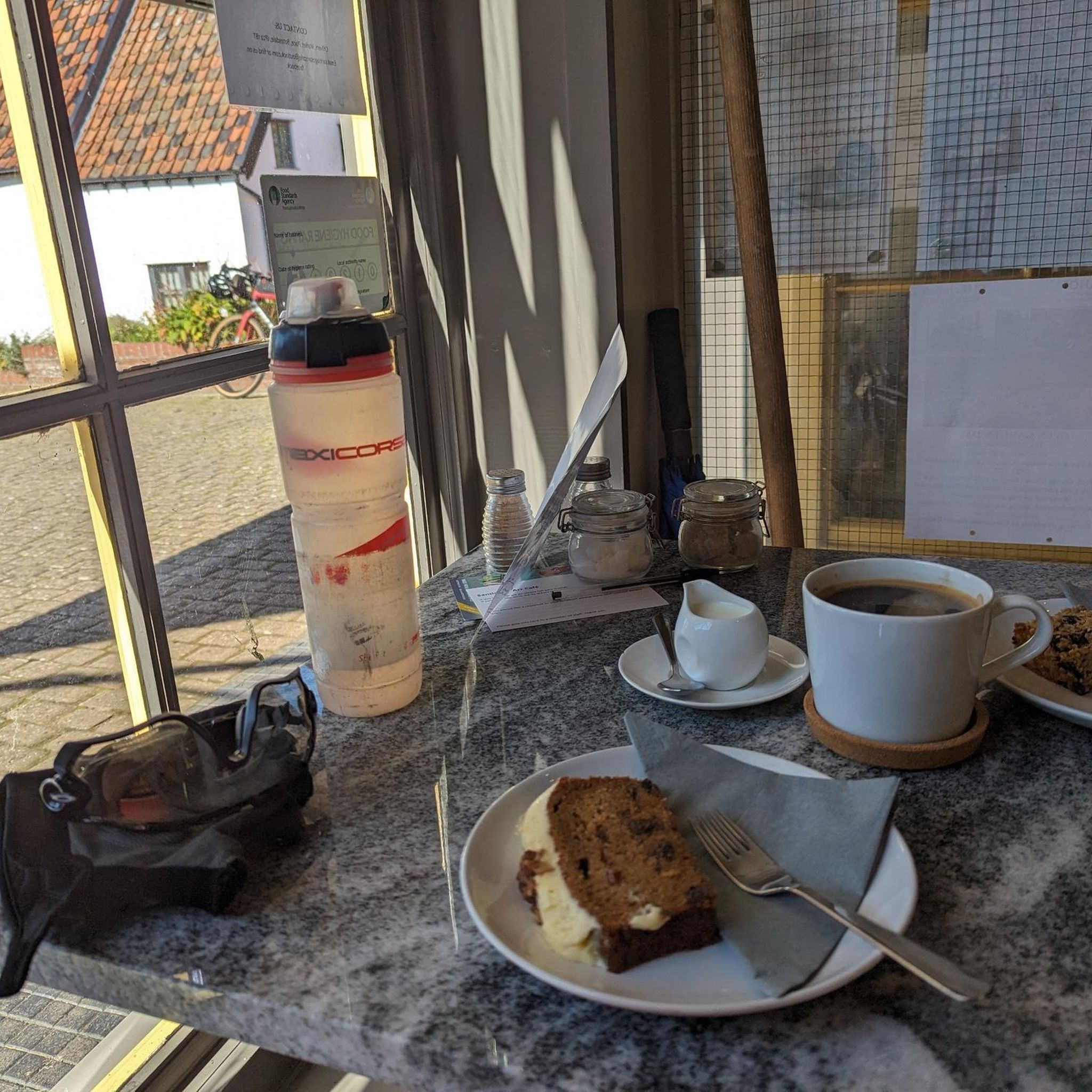
Enjoy a coffee, lunch or just collect picnic goodies for later.
0
0
This area has mostly clay soil so can be sticky after we weather
0
0
The grundle becomes a running stream after wet weather but this can normally be navigated by crossing it and taking the upper path which has short steeper sections
0
0
Frequently Asked Questions
Are there many walking routes to choose from in Rickinghall Inferior?
Yes, there are over 60 hiking routes to explore around Rickinghall Inferior. The trails range from easy strolls to more challenging day hikes, with the majority being easy or moderate, making the area accessible for most fitness levels.
What do other hikers think of the trails around Rickinghall Inferior?
The area is highly regarded by the komoot community. Hikers often praise the peaceful atmosphere, the well-maintained paths through farmland, and the scenic routes along the rivers Little Ouse and Waveney.
Are there any good circular walks available?
The region is perfect for circular walks. Many trails start and end in the villages of Rickinghall or Botesdale, guiding you through the surrounding countryside and back. For a shorter loop, consider the Cafe Piccolo Coffee Truck loop from South Lopham, which is an easy walk of under 3 km.
Can I bring my dog on the hikes?
Dogs are welcome on many trails, but it's important to keep them under control, especially when walking through farmland where livestock may be present. Always follow the Countryside Code and look for local signage. Some paths may require dogs to be on a lead, particularly near nature reserves.
Where can I find a longer, more challenging hike?
For those seeking a substantial walk, The Grundle Forest Path – Wildflower Meadow loop from Wattisfield offers a challenging 20 km route. This trail takes you through varied landscapes, including woodland and open fields, providing a full day of hiking.
What are the trail conditions like?
Most paths are well-defined public rights of way across arable land and along ancient lanes. However, after heavy rain, sections near the rivers and across fields can become muddy and slippery. It's always a good idea to wear sturdy, waterproof footwear.
Are there any family-friendly walks in the area?
Absolutely. The gentle, rolling terrain is ideal for family outings. The Marsh Harrier Nest – Cafe Piccolo Coffee Truck loop from South Lopham is a great option, offering an easy 6.8 km walk through quiet countryside with opportunities to spot wildlife.
What kind of scenery and wildlife can I expect to see?
The landscape is classic Suffolk countryside, featuring a shallow valley with the rivers Little Ouse and Waveney, ancient tree-lined hedgerows, and open fields. The area is a haven for wildlife; look out for birds like marsh harriers and kestrels. The nearby Redgrave and Lopham Fen is a notable nature reserve.
Where is a good place to park for a walk?
Many circular walks begin in the villages of Rickinghall and Botesdale where on-street parking may be available. Some routes start near specific landmarks or pubs which may offer parking for patrons. Always check for any local parking restrictions before you set off.
Are there any walks that include historical points of interest?
Yes, the area is rich in history. A stroll down 'The Street' through Botesdale and the Rickinghalls reveals many historic listed buildings. Several trails also pass near St. Mary's Church in Rickinghall Inferior, one of Suffolk's distinctive round-tower churches.
Is it possible to get to the trails using public transport?
The villages of Rickinghall and Botesdale are served by local bus routes, which can be a good starting point for several walks. However, services can be infrequent, especially on weekends, so it's essential to check timetables in advance to plan your journey.
What is a good walk for seeing wildflowers or woodland?
For a route that combines both, the Wildflower Meadow – The Grundle Forest Path loop from Walsham-le-Willows is an excellent choice. This moderate 8.3 km hike takes you through beautiful woodland sections and past meadows, which are especially vibrant in the spring and summer.
Most popular attractions around Rickinghall Inferior

Get inspired with the komoot mobile app


Explore more
Browse the best Hikes in other regions.
