The best walks and hikes around Wetheringsett-Cum-Brockford
4.2
(65)
444
hikers
34
hikes
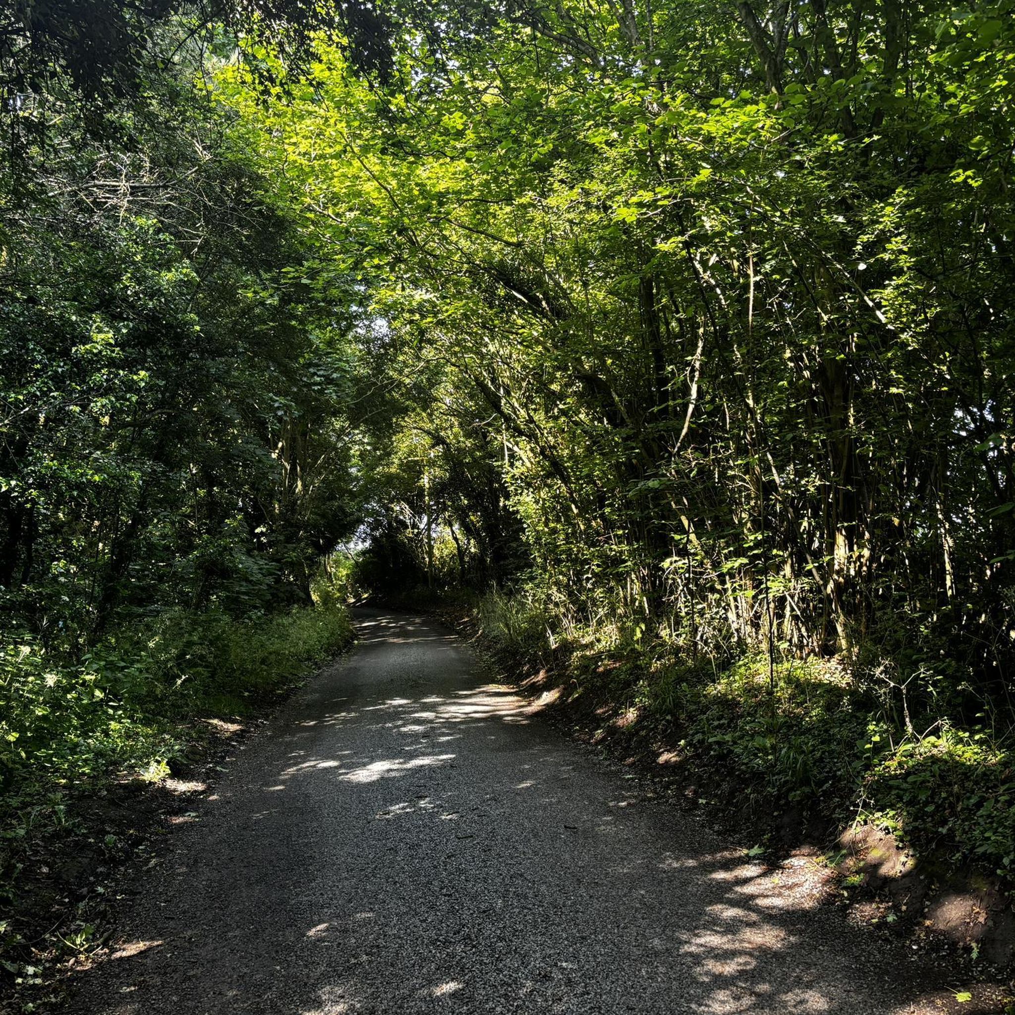
Hiking around Wetheringsett-Cum-Brockford explores the gentle countryside of High Suffolk. The region is characterized by a landscape of heavy boulder clays, remnants of ancient forests, and well-wooded sections. Trails traverse field edges, quiet country lanes, and follow gentle streams, offering a quintessential English rural setting with minimal elevation changes. The area's diverse footpaths and historic sites provide a rich experience for exploring the Suffolk countryside on foot.
Best hiking trails in Wetheringsett-Cum-Brockford
- The most popular hiking route is Eye Castle…
Last updated: July 6, 2026
4.6
(8)
27
hikers
8.23km
02:07
40m
40m
Moderate hike. Good fitness required. Easily-accessible paths. Suitable for all skill levels.
5.0
(1)
7
hikers
19.4km
05:02
110m
110m
Hard hike. Very good fitness required. Easily-accessible paths. Suitable for all skill levels.

Sign up for free
4.0
(2)
8
hikers
7.20km
01:51
30m
30m
Easy hike. Great for any fitness level. Easily-accessible paths. Suitable for all skill levels.
3
hikers
9.03km
02:19
30m
30m
Moderate hike. Good fitness required. Easily-accessible paths. Suitable for all skill levels.
4
hikers
5.50km
01:24
20m
20m
Easy hike. Great for any fitness level. Easily-accessible paths. Suitable for all skill levels.
Get access to more routes and recommendations from other explorers.
Sign up for free
Already have an account?
Our route recommendations are based on thousands of hikes, rides, and runs completed by other people on komoot.
Start today with a free account
Your next adventure awaits.
Login or Signup

Tips from the Community

Great customer service and lovely food, they do a great breakfast 😋
0
0

See what they did there? Unpretentious local cafe nicely situated in the main square and open 7 days a week.
0
0
Scenic little village green with a PO/shop and pub. Reputedly the place where the last Anglo-Saxon king of East Anglia, Edmund the Martyr, was killed by the Danes.
0
0
Very imposing building with some interesting carvings on the timbers.
0
0
For a view of the castle turn up Castle Hill lane off the main village road to reach the car park. The castle itself is best accessed without road cleats on.
0
0

On the road from Hoxne to Cross Street lies Goldbrook Bridge, where Edmund is said to have hidden from the Danes. According to legend, a newly-wed couple spotted his spurs glistening in the moon (or sun) and, as the Danes dragged him away, he cried a curse on all bridal couples who should ever cross the bridge. Apparently until well into the 19th century, many local wedding parties would go the long way round rather than chance the curse.
0
0

Frequently Asked Questions
What is the terrain like around Wetheringsett-Cum-Brockford?
The landscape is typical of High Suffolk, featuring gentle, rolling countryside with very little elevation change. You can expect to walk on paths across open farmland, along quiet country lanes, and beside gentle streams. The area is also well-wooded with remnants of ancient forests.
Are there many circular walks available?
Yes, the area is well-known for its variety of circular walks that cater to different fitness levels. Many trails start and end in the same place, guiding you through a scenic loop of scattered hamlets and historic landscapes. For official route details, the parish council provides a helpful resource on their footpaths page.
Are the hiking trails suitable for beginners?
Absolutely. The majority of the trails in the region are rated as easy, with minimal hills. This makes it an ideal destination for beginners or those looking for a relaxed day out. For a straightforward and pleasant walk, consider the Hiking loop from Framsden, which is a short and easy route.
Can I take my dog on the trails?
Yes, the countryside around Wetheringsett-Cum-Brockford is generally welcoming to dogs. However, you will be walking through active farmland, so expect to encounter livestock. It is essential to keep your dog on a lead and under control in these areas. The open paths and quiet lanes make for enjoyable dog walks.
What historical points of interest can I see on a walk?
The area is rich in history. Many walks pass by fascinating landmarks, including the historic All Saints' Church, medieval buildings, and even a WW2 Spigot Mortar Base. A popular attraction is the Mid-Suffolk Light Railway Museum, which several routes pass nearby, offering a glimpse into Edwardian railway travel.
Are there any longer hikes for a full day out?
Yes, for those seeking a more challenging, long-distance walk, there are options available. The Eye Castle – St Mary’s Church, Brome loop from Eye is a demanding route of nearly 20 km that connects several historical sites and offers a comprehensive tour of the surrounding countryside.
Where is a good place to park for a walk?
Many of the circular walks begin from the village itself, where you can find on-street parking near landmarks like All Saints' Church. Please park considerately. For walks starting in nearby towns like Eye, there are usually designated public car parks available.
What do other hikers think of the routes in this area?
The trails around Wetheringsett-Cum-Brockford are highly rated by the komoot community, with an average score of over 4 stars. Hikers often praise the peaceful atmosphere, the well-maintained paths through beautiful farmland, and the abundance of wildflowers along the verges in spring and summer.
Are there any good parks or nature reserves nearby for hiking?
Yes, the region has several popular spots for nature lovers. Thornham Walks is a local favorite, offering solid pathways through beautiful trails and gardens. For a different landscape, Knettishall Heath Nature Reserve provides a mix of woodland and heathland with walking trails and wild ponies.
Can I get to the trailheads using public transport?
Accessing the trailheads directly via public transport can be challenging due to the rural nature of the area. Bus services connect the larger villages and towns, but services may be infrequent. It's best to check local bus timetables in advance to plan your journey. Most visitors find it easiest to travel by car.
Are there any walks with a pub along the route?
While the immediate parish is very rural, several walks start or finish in nearby villages and towns like Eye that have traditional pubs. These are perfect for a post-hike meal or drink. Planning a route that loops from a village centre is the best way to ensure you can finish your walk near a pub.
Most popular routes around Wetheringsett-Cum-Brockford
Most popular attractions around Wetheringsett-Cum-Brockford

Get inspired with the komoot mobile app


Explore more
Browse the best Hikes in other regions.
