The best running trails around Osterwald
4.5
(228)
3,461
runners
17
runs
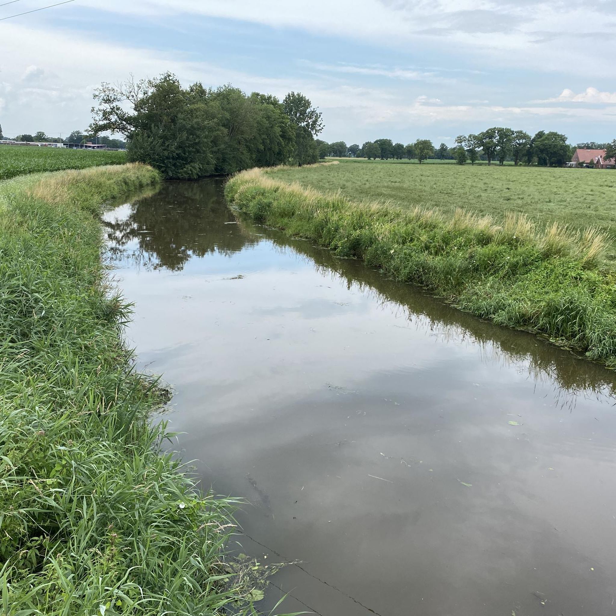
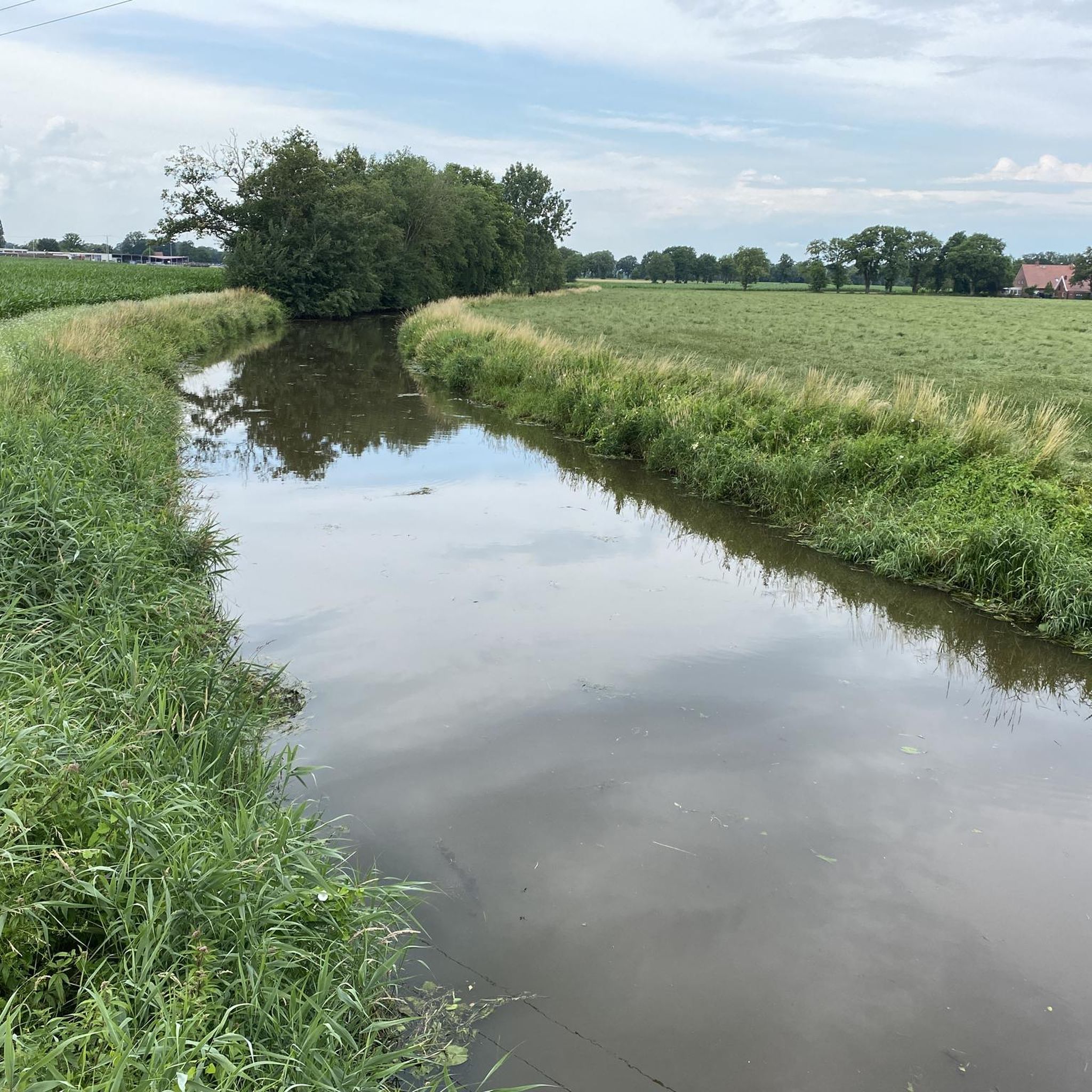
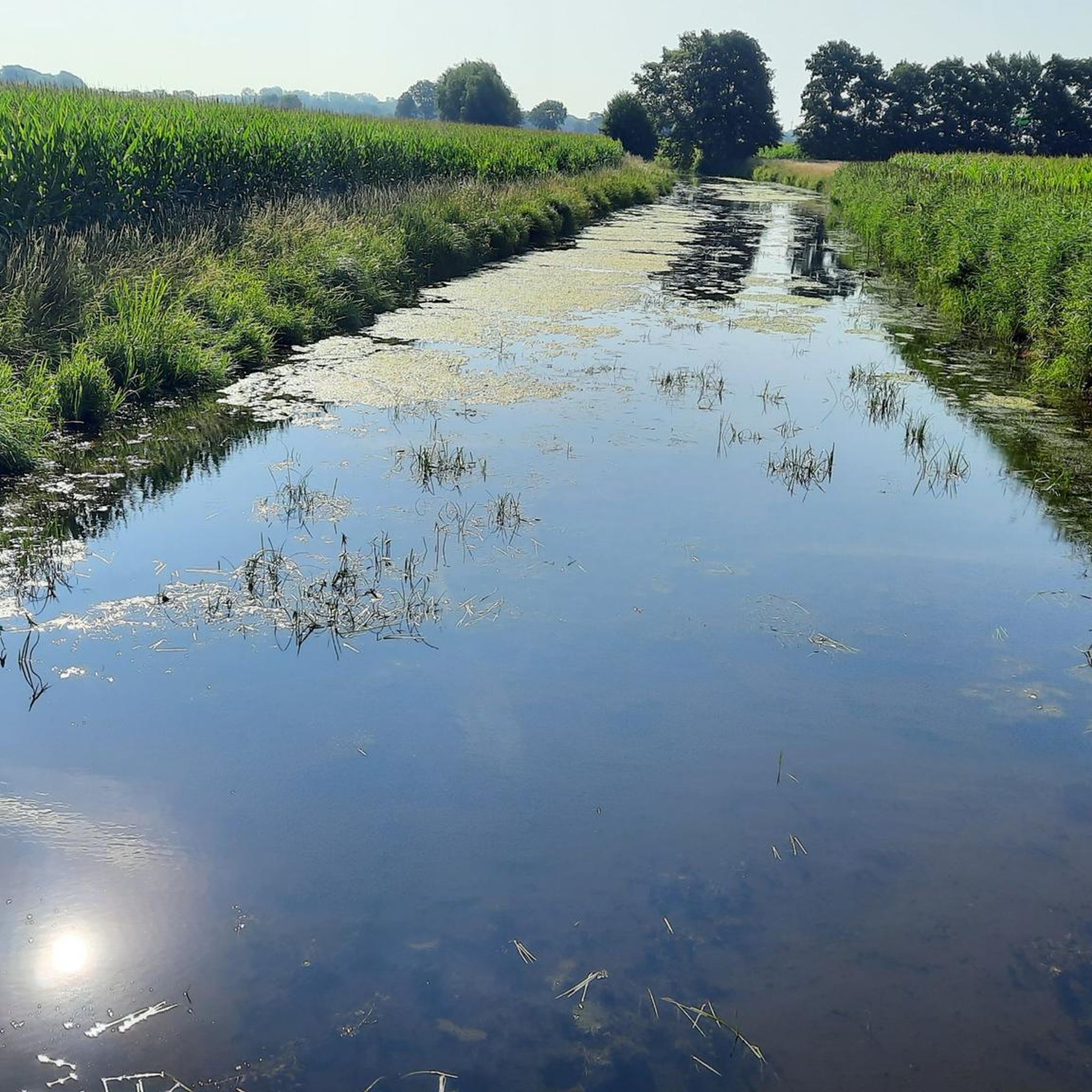
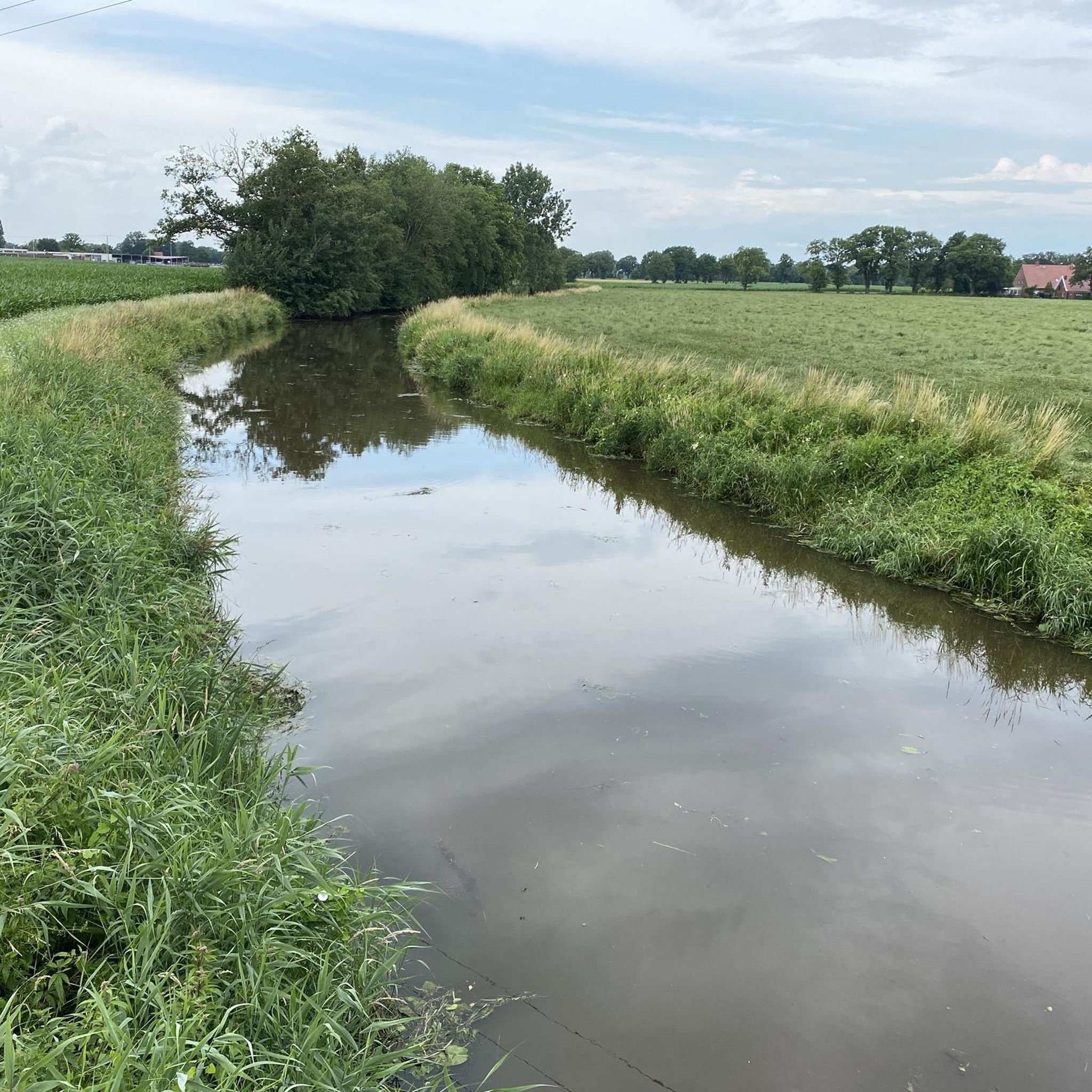
Jogging around Osterwald offers a network of routes through a predominantly flat landscape, characterized by open fields and agricultural areas. The region features gentle terrain with minimal elevation changes, making it suitable for various fitness levels. Many running routes in Osterwald follow well-maintained paths and quiet country roads, providing a consistent surface for runners. The area's natural features include small wooded sections and waterways, contributing to the scenic variety of the trails.
Best jogging routes around Osterwald
- The most popular…
Last updated: August 16, 2026
4
runners
9.70km
01:00
10m
10m
Moderate run. Good fitness required. Mostly paved surfaces. Suitable for all skill levels.
3
runners
6.93km
00:43
10m
10m
Moderate run. Good fitness required. Mostly paved surfaces. Suitable for all skill levels.

Sign up for free
4
runners
10.8km
01:07
10m
10m
Moderate run. Good fitness required. Mostly paved surfaces. Suitable for all skill levels.
3
runners
8.17km
00:50
10m
10m
Moderate run. Good fitness required. Mostly paved surfaces. Suitable for all skill levels.
3
runners
15.7km
01:37
20m
20m
Hard run. Very good fitness required. Mostly paved surfaces. Suitable for all skill levels.
Get access to more routes and recommendations from other explorers.
Sign up for free
Already have an account?
Our route recommendations are based on thousands of hikes, rides, and runs completed by other people on komoot.
Start today with a free account
Your next adventure awaits.
Login or Signup
Tips from the Community

A very narrow path and worth a discovery tour
0
0


A lovely break area with a hut, outdoor tables and benches, offering everything you need for any weather and any season.
0
0

The "Binnenborger Pättken" is a newly constructed bicycle path near the Vechte Bridge near Neuenhaus. The unpaved Binnenborger Pättken cycle path runs from the junction of Eschener Straße and Veldhausener Straße between fields and meadows, continuing for approximately one kilometer as Binnenborger Straße. The Binneborger Pättken is a well-maintained cycle path and leads over the Bentheim Railway tracks as an unguarded level crossing.
5
0
Really nice place for a little break
2
0

In the footsteps of historic buildings and squares (2.8km)
2
0

A very great old Dutch windmill embedded in a building ensemble with other historical sights.
2
0
Frequently Asked Questions
Are there easy running routes in Osterwald suitable for beginners?
Yes, Osterwald offers several easy running routes. For instance, the Running loop from Samtgemeinde Neuenhaus is an easy 3.1 miles (5.0 km) trail, perfect for a gentle jog. The region's predominantly flat landscape with minimal elevation changes makes it generally suitable for various fitness levels, including beginners.
Can I find 5km running routes in Osterwald?
Absolutely. The Running loop from Samtgemeinde Neuenhaus is an excellent option, measuring 3.1 miles (5.0 km), which is ideal for a 5km run. Many routes in the area are designed for shorter, accessible distances.
What kind of terrain can I expect on the jogging trails in Osterwald?
The jogging trails in Osterwald are characterized by a predominantly flat landscape, featuring open fields, agricultural areas, and small wooded sections. You'll mostly run on well-maintained paths and quiet country roads, providing a consistent surface. Minimal elevation changes make for a comfortable running experience.
Are there any circular running routes in Osterwald?
Yes, many of the running routes in Osterwald are circular. A popular choice is the Shelter on Leestraße loop from Samtgemeinde Neuenhaus, a 6.0 miles (9.7 km) trail that offers a moderate running experience through the local landscape.
What are some scenic viewpoints or natural attractions along the running routes?
While running in Osterwald, you can discover several natural attractions. Consider routes that pass near the Bargerveen Nature Reserve or offer views from the Bargerveen Observation Tower. The region's small wooded sections and waterways also contribute to the scenic variety.
Are there any longer, more challenging running trails in Osterwald?
While Osterwald is known for its gentle terrain, there are moderate options for longer runs. The Binnenborger Pättken Pathway loop from Samtgemeinde Neuenhaus is a moderate 6.7 miles (10.8 km) path, offering a good distance for a steady pace. The region has a few routes rated as 'difficult' as well, though most are easy to moderate.
What do other runners say about the trails in Osterwald?
The running routes in Osterwald are highly regarded by the komoot community, with an average rating of 4.4 stars from nearly 200 reviews. Over 3500 runners have explored the area using komoot, often praising the well-maintained paths and the peaceful, natural surroundings.
Can I find running routes that pass by places to rest or have a break, like huts or shelters?
Yes, some routes may lead you past local amenities. For example, the Shelter on Leestraße loop from Samtgemeinde Neuenhaus suggests a shelter along its path. You might also find other huts and shelters in the wider area, such as the Ringer Harbor Hut or the Shelter by the canal, which can be integrated into longer runs.
How many running routes are available in the Osterwald area?
There are over 15 running routes available in the Osterwald area, catering to various preferences and fitness levels. The majority are rated as moderate, with a few easy and difficult options to choose from.
Are there any running routes that offer a glimpse of local history or culture?
While the focus is on natural landscapes, some routes might pass by points of interest. For instance, the Mühlenhof Veldhausen Windmill loop from Samtgemeinde Neuenhaus offers a chance to see a local windmill, providing a touch of regional heritage during your run.
What is the typical duration for a running route in Osterwald?
The duration varies depending on the route and your pace. For example, the Running loop from Schorffeld/Ecke Bimolter Straße, which is 7.5 km, typically takes about 45-50 minutes. Shorter routes like the 5 km loop can be completed in around 30 minutes, while longer ones might take over an hour.
Most popular routes around Osterwald
Most popular attractions around Osterwald

Get inspired with the komoot mobile app


Explore more
Browse the best Running Trails & Routes in other regions.
